Pete's Walks- Lilley to Barton-le-Clay walk (page 3 of 6)
If you are considering walking this route yourself, please see my disclaimer. You may also like to see these notes about the maps and GPX files.
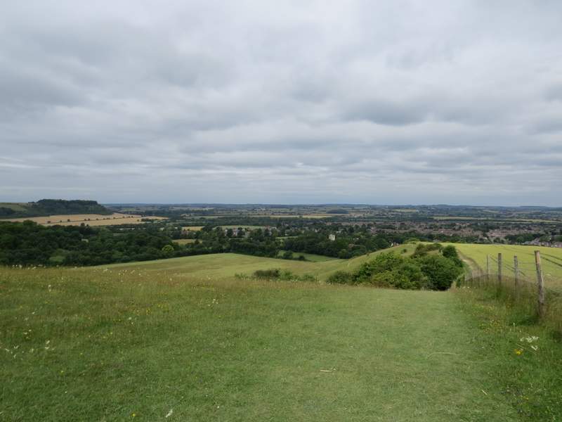
After walking for some distance with no hedges on either side, a hedgerow started on my right. After 10-15 yards I turned right at a gap in the hedge and a waymark post. Within a couple of yards or so I kept right at another path junction, and a few yards further on I went through a kissing gate into a corner of the Barton Hills nature reserve. I went straight on, with the reserve stretching away to my left - the reserve is basically a valley, the side on the left (from where I was) being wooded, the side on the right being scrub and indented by three small side valleys. I rather hurried along this edge of the reserve, as I suspected I might be about to run into the school party again. In fact as I turned left in the next corner, I could see that they were coming through a gate there (as I'd feared) but were going down a steep path to the valley bottom, where they appeared to be gathering together for lessons and a picnic lunch. I continued along the edge of the reserve, still with the valley on my left - the grass here was richly dotted yellow, white and purple by various wild flowers (amongst others I saw Dropwort, Agrimony, Common Rock-rose, Self-heal and Ragwort). This was very pleasant walking over this chalk downland, with a view gradually opening up ahead of me over a flatter area of Bedfordshire and Hertfordshire to the north.

Barton Hills - I followed the path ahead here, and turned left in the next corner
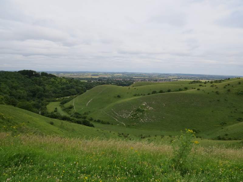
Barton Hills
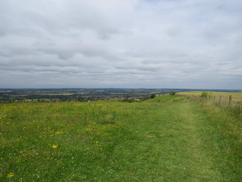
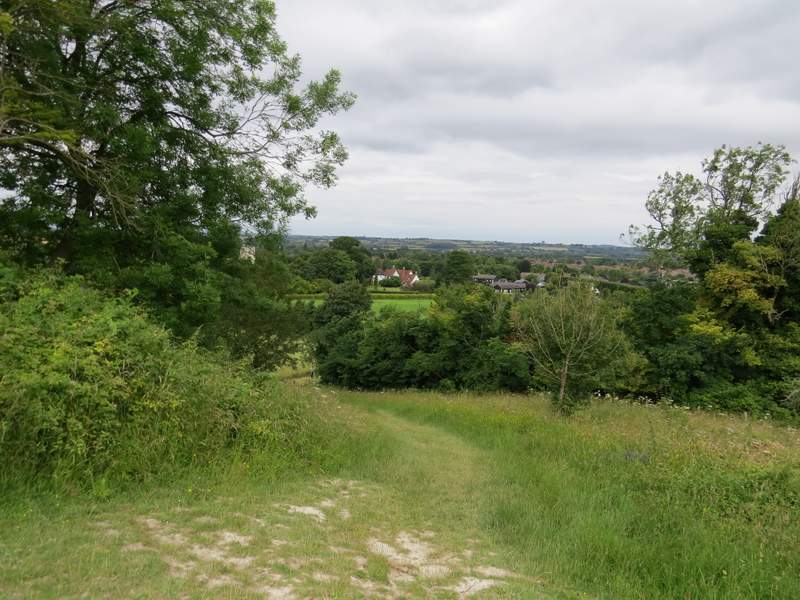
The footpath through Barton Hills, after I turned left
The footpath through Barton Hills, after I turned left
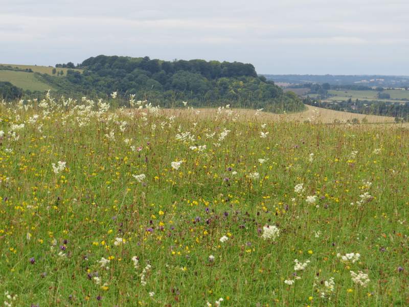
Zoomed-in shot of Sharpenhoe Clappers (the white flower in the foreground is Dropwort)
The footpath through Barton Hills, after I turned left
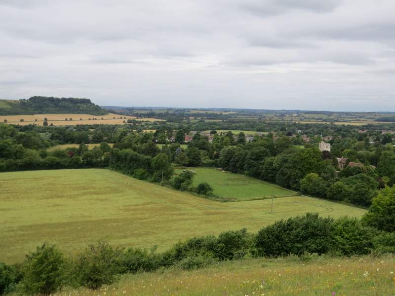
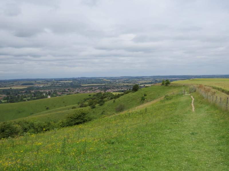
Sharpenhoe Clappers and Barton Church from Barton Hills
Eventually the path dropped downhill, using 'steps' in two or three places - I saw some Common Spotted Orchids here. Through a kissing-gate I went right, the path soon turning left in a field corner and soon running past some paddocks on my left. I then turned right, and followed a lane or street into Barton-le-Clay - it soon took me past the village church.
The footpath going down Barton Hills
The footpath continuing to Barton
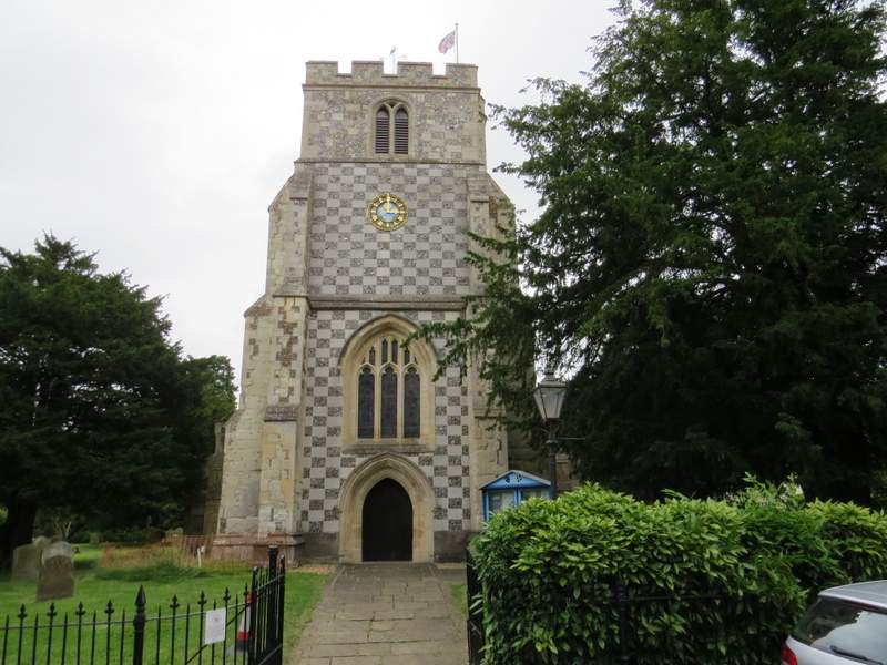
Barton Church
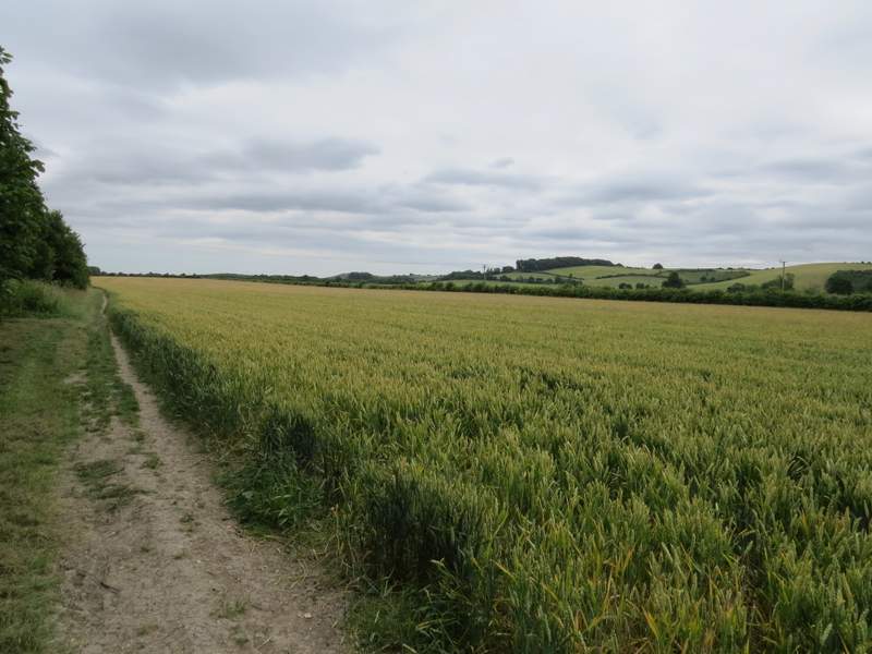
At the end of this street, I turned right for a few yards at a road junction, then took a road starting on the other side. Shortly after passing the village primary school, I took a bridleway going down an alley on the right (actually I went a few yards past it before realising my mistake, as its start is half-hidden when coming from this direction). At the end of the alley, the bridleway turned left into a field corner where it turned right. I was now walking through an area of flat farmland, but with pleasant views of the hills not too far away to my right. After a while the hedge on my left ended - it reappeared briefly a little further on, and when it ended again I turned left for a few yards before turning right behind another hedgerow. I continued with a hedge on my right through the next cornfield, then after crossing a small stream at the next field boundary, I went half-right across another corn field to reach a street on the edge of Hexton.
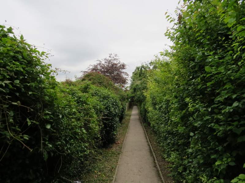
The alley leading out of Barton
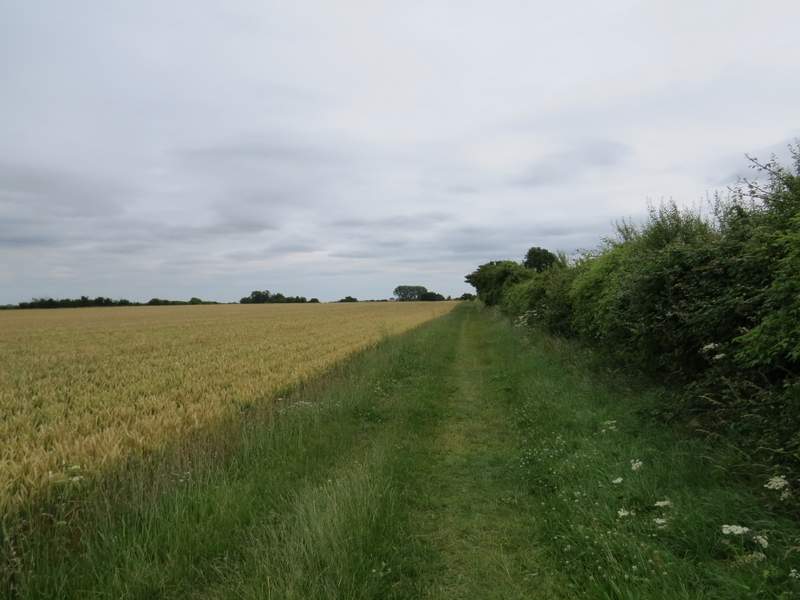
Near the start of the bridleway from Barton to Hexton
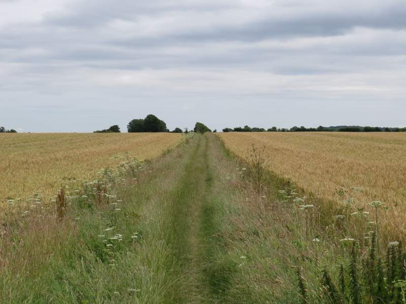
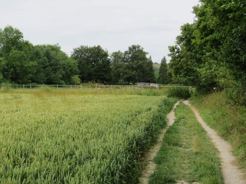
The bridleway from Barton to Hexton
The bridleway from Barton to Hexton
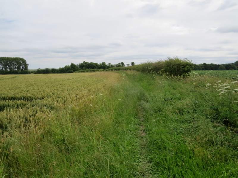
The bridleway from Barton to Hexton
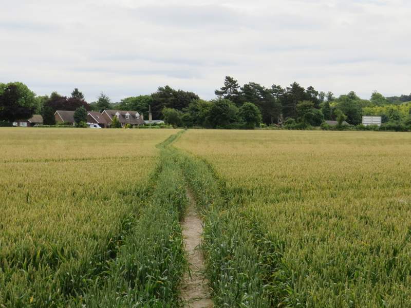
Approaching Hexton