Pete's Walks- Wigginton and Drayton Wood (page 3 of 3)
If you are considering walking this route yourself, please see my disclaimer. You may also like to see these notes about the maps and GPX files.
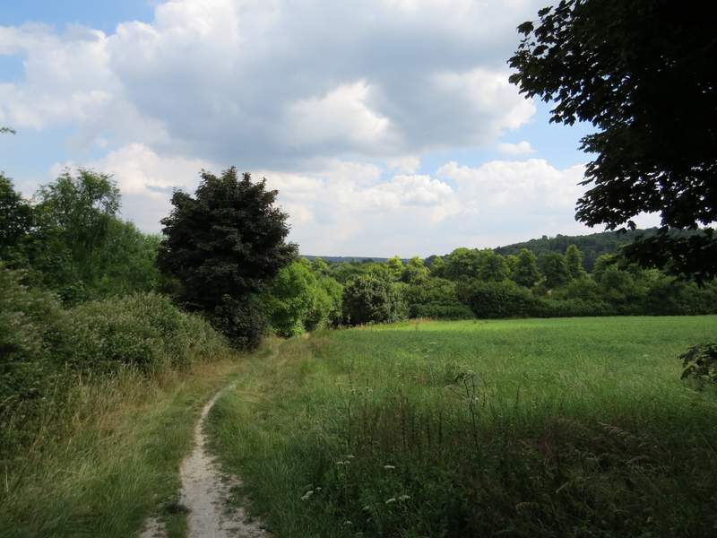
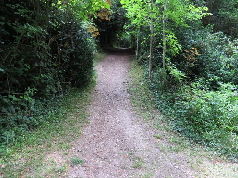
After a few hundred yards this path merged with another one coming in from my left. I carried on through the wood, the path now very level and soon with a steep slope to my left.
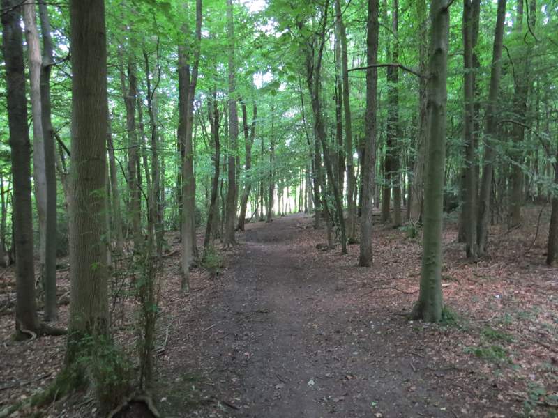
The footpath in Grove Wood, after two paths merged
The footpath in Grove Wood, after two paths merged
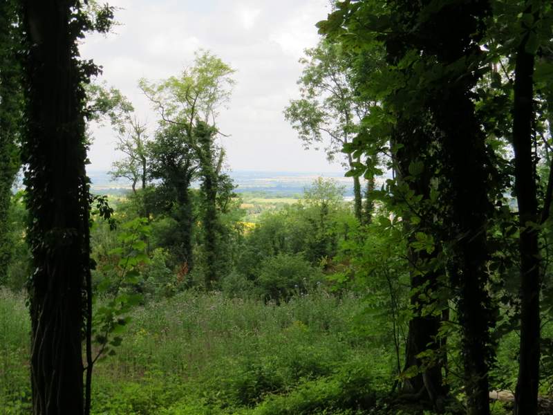
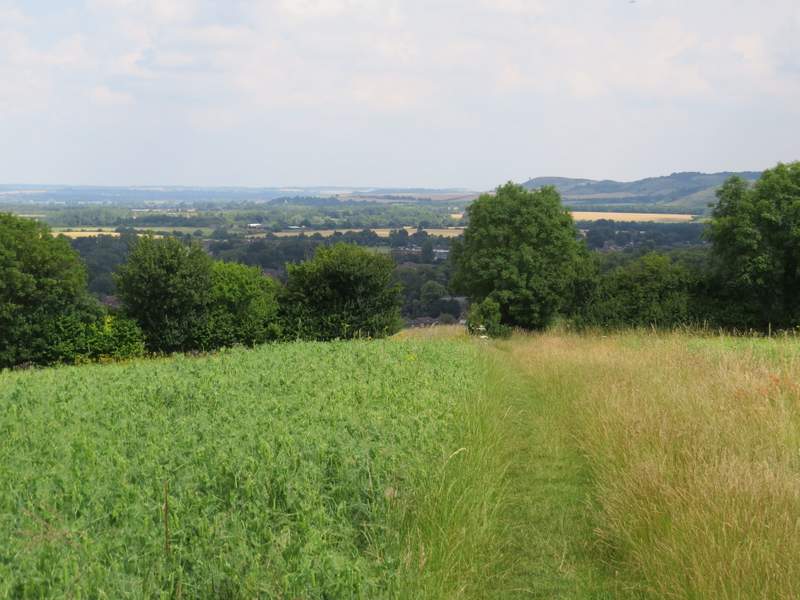
A view left
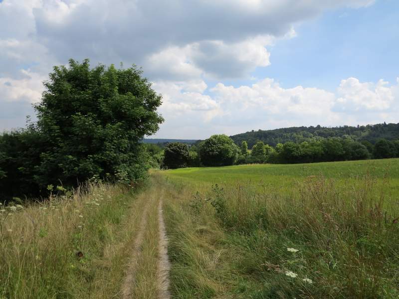
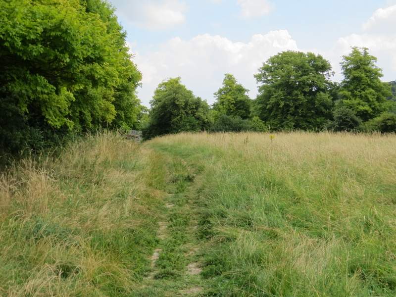
When I came to a waymark on a post, I went a few yards right to the edge of the wood, then turned left alongside the wood with a field on my right. Beyond the wood (which was now Stubbing's Wood) a really nice view started to open out ahead of me, over Tring and part of the Vale of Aylesbury. I followed the path through a field and then gradually downhill with a meadow of long grass on my left (I was a little disappointed at how few butterflies there were here compared to previous summers when I've come this way).
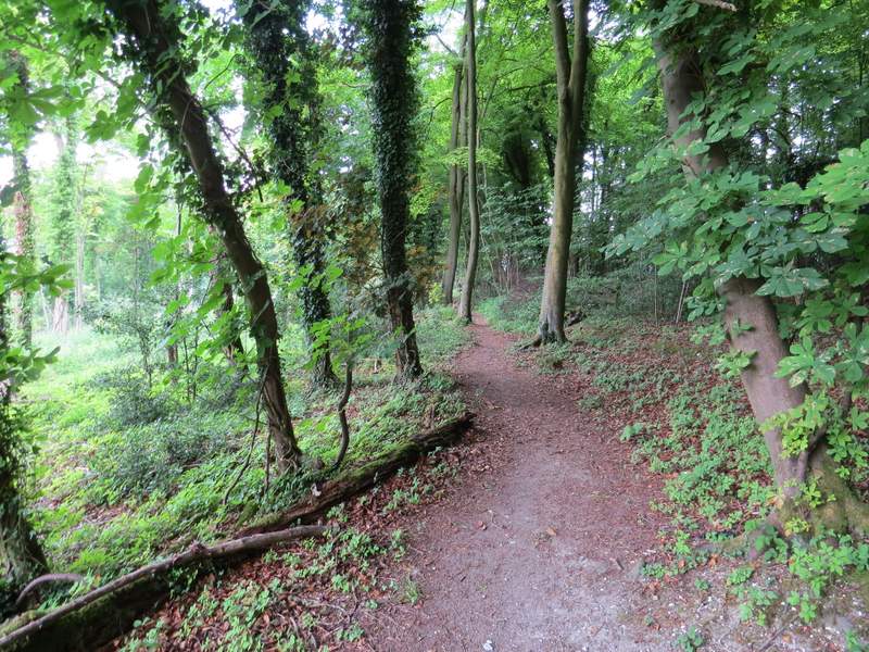
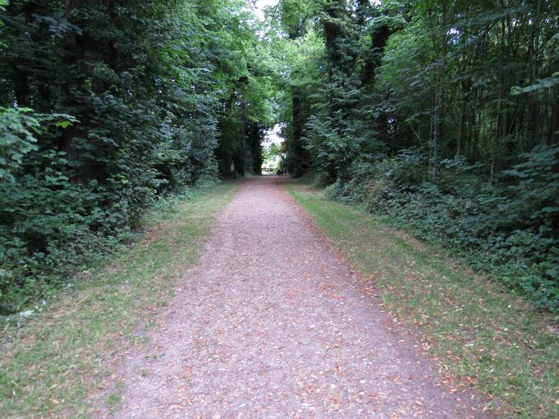
The path by the side of Stubbing's Wood
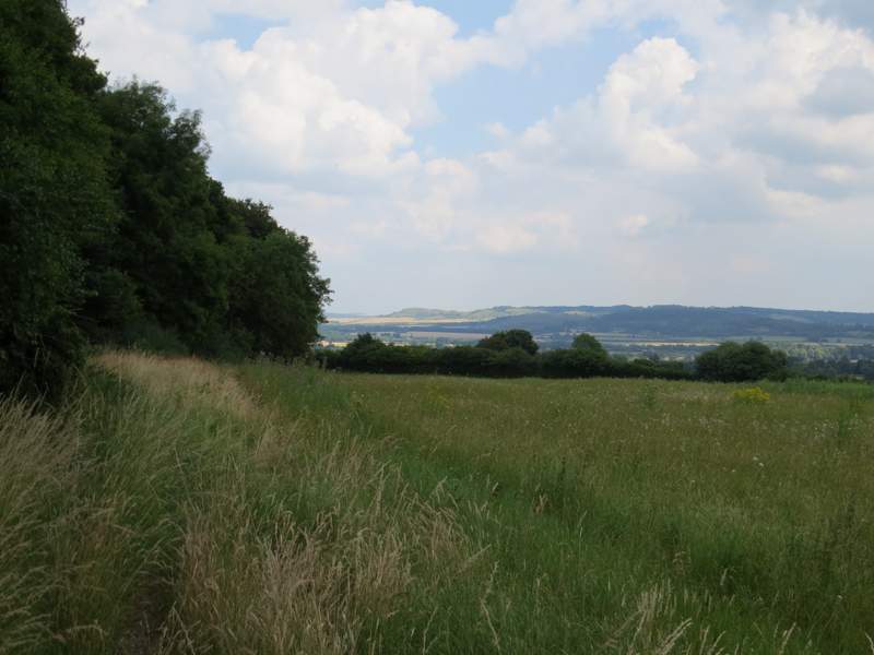
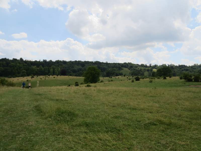
The path descending towards Tring - the left-most hill on the skyline is Ivinghoe Beacon
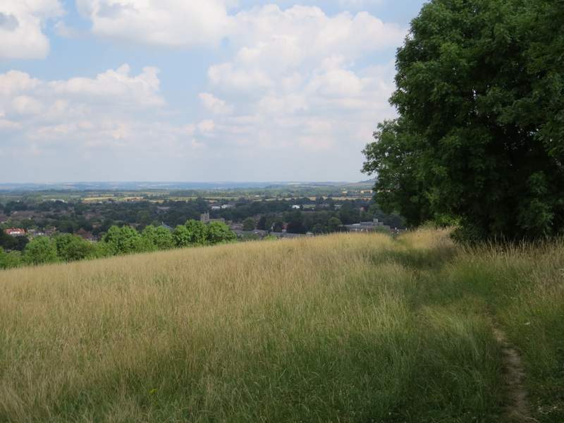
The path descending towards Tring
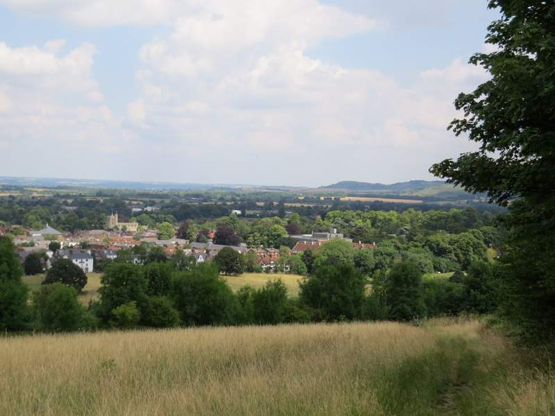
The path descending towards Tring
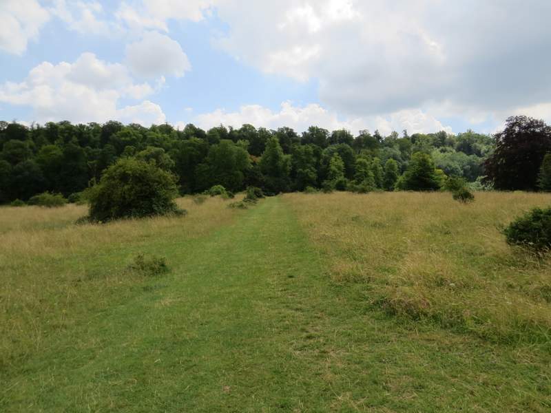
At the end of the meadow, I turned right alongside a hedgerow on my left, beyond which was the A41 dual carriageway. I followed the path to a lane on the edge of Tring, and continued on through a meadow on the other side to reach Tring Park.
The path by the A41, heading towards Tring Park
The path by the A41, heading towards Tring Park
The path by the A41, heading towards Tring Park
Just past an information board I turned half-right to cross the park (heading for where the path made a white scar on the other side of a small dip). I followed the path all the way to a wooded slope (again I was disappointed at how few butterflies I saw), where it went through a gate and bore half-left to rise up the trees to reach an obelisk at a five-way junction of paths. I took the second path on the right (the one going most steeply uphill), and at the top of the slope I went straight on to reach an exit from Tring Park and a road on the edge of Wigginton. I turned right along the road (Fox Road, I think). When it turned left, I crossed over and entered a park, turning left to go parallel with the road, then right in the corner. On leaving the park I carried on down a street. When it ended at a T-junction, I continued straight ahead on a path that brought me back to the car park where I'd started.
Tring Park
Tring Park
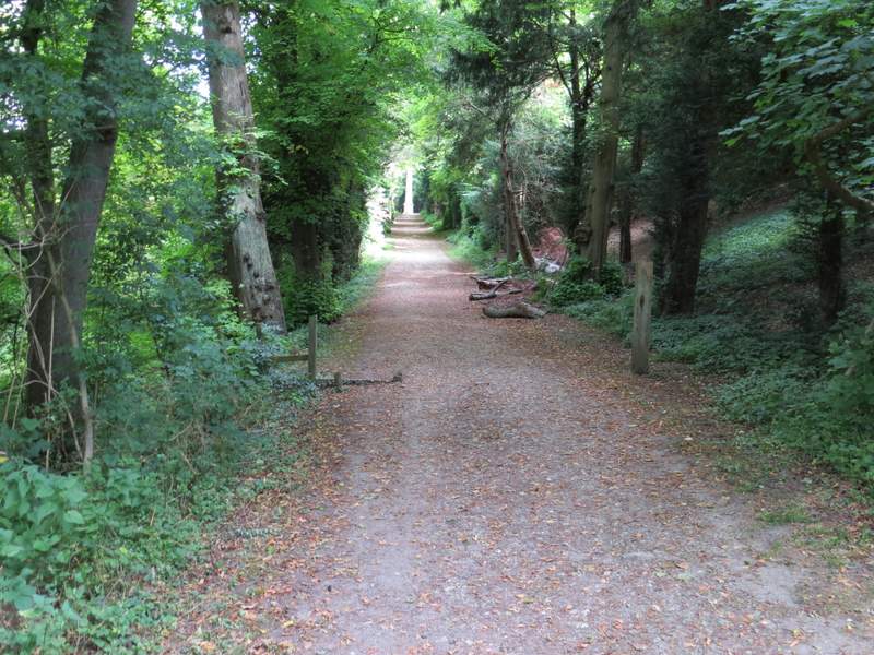
The footpath going up to the obelisk
The footpath continuing uphill from the obelisk
The path out of Tring Park
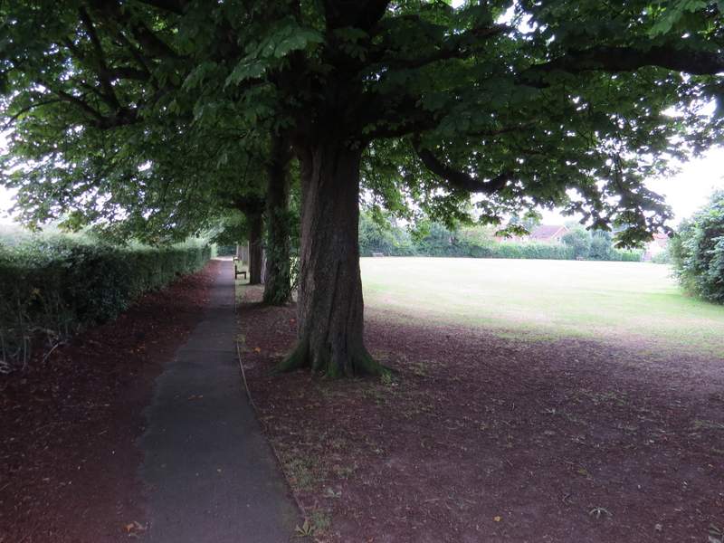
The small park in Wigginton - I walked round two sides of it, I guess I could have just gone diagonally across the grass
As ever this was a really pleasant shorter walk. I think I've walked it four times now, but always in this clockwise direction - I wouldn't want to go the other way round, as I'd miss out on the fine view approaching Tring. It was a good choice on such a hot day as this (about 26C in the shade) as much of it was in woods, where it would be cooler.