Pete's Walks- Bison Hill and Totternhoe (page 3 of 3)
If you are considering walking this route yourself, please see my disclaimer. You may also like to see these notes about the maps and GPX files.
When the green lane ended at a road, I went a few yards right and used a pedestrian crossing to cross over. I then continued along a broad strip of grass, at the end of which I went steeply uphill to reach the northern end of Dunstable Downs. I went past the Five Knolls, ancient burial mounds, and a little further on I forked right on a faint path through long grass. I thought this was going to take me to the top of 'Orange Hill', but I'd turned right a little too soon and needed to fork left onto another narrow path to reach the top of the hill. After admiring the views along the Downs and out over the Vale of Aylesbury, I joined the surfaced path running along the top of the Downs (I remembered talking to the archaeologists who excavated here ahead of the path being put in). There were plenty of other people enjoying the views here, but I soon escaped the crowds by taking a path that went through a gate just right of the surfaced path. The path then followed a fence on the right, with just as good views but far fewer people than the main path.
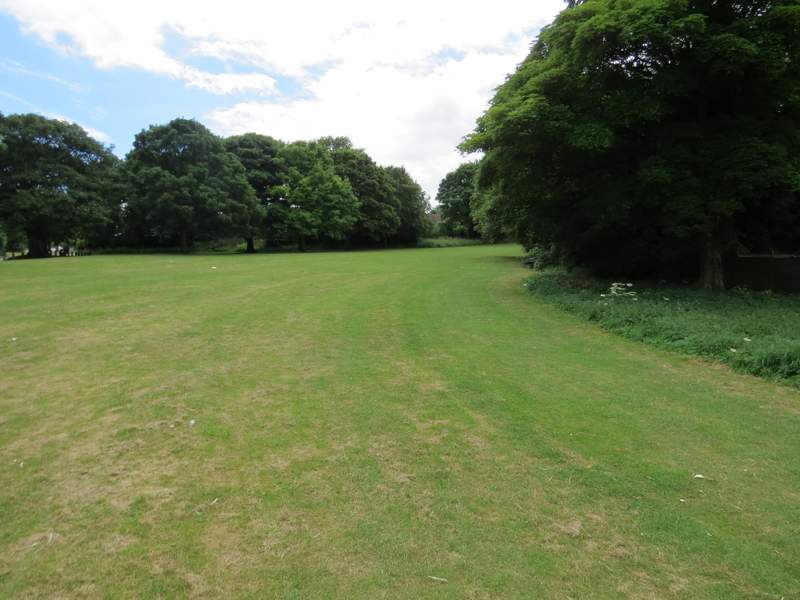
The broad stretch of grass heading to Dunstable Downs
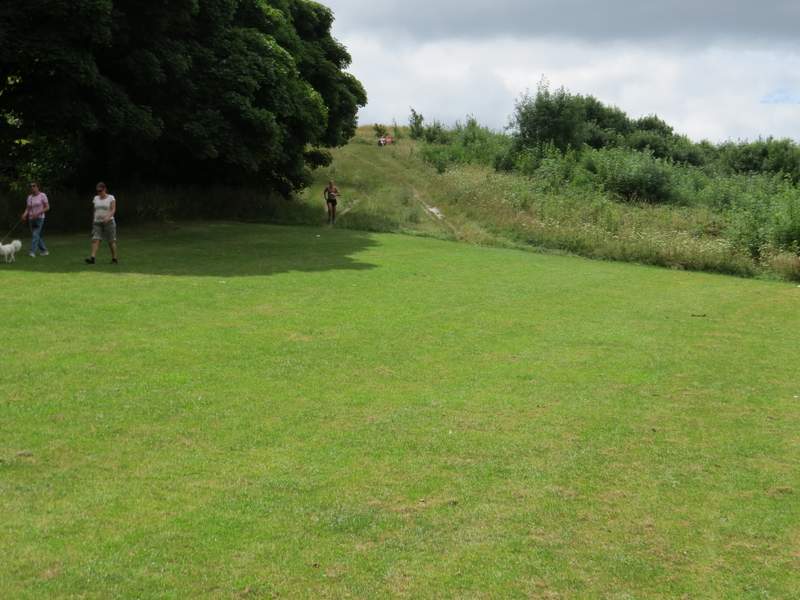
The path up to Dunstable Downs - my camera is DEFINITELY lying here, its much steeper and longer than this!
Passing the Five Knolls, ancient burial mounds
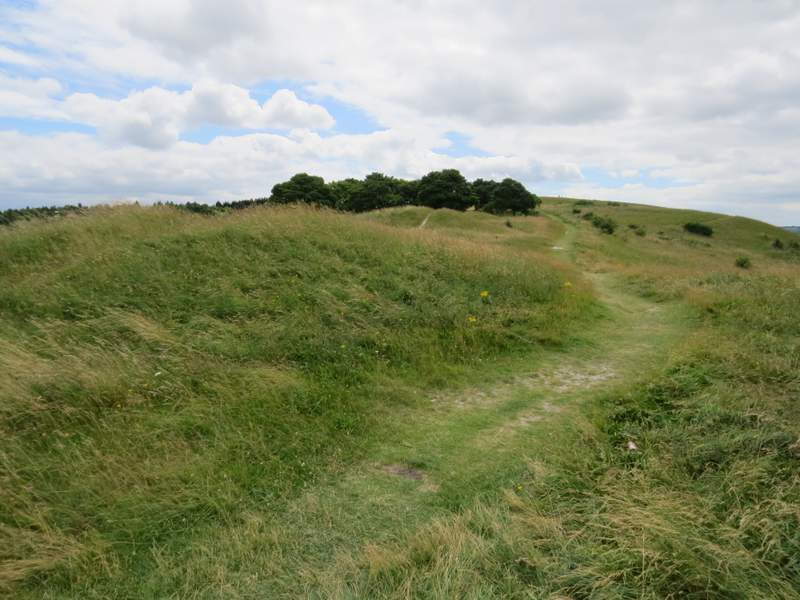
The path to Orange Hill (or so I thought, I had to fork left to get to the top of the hill)
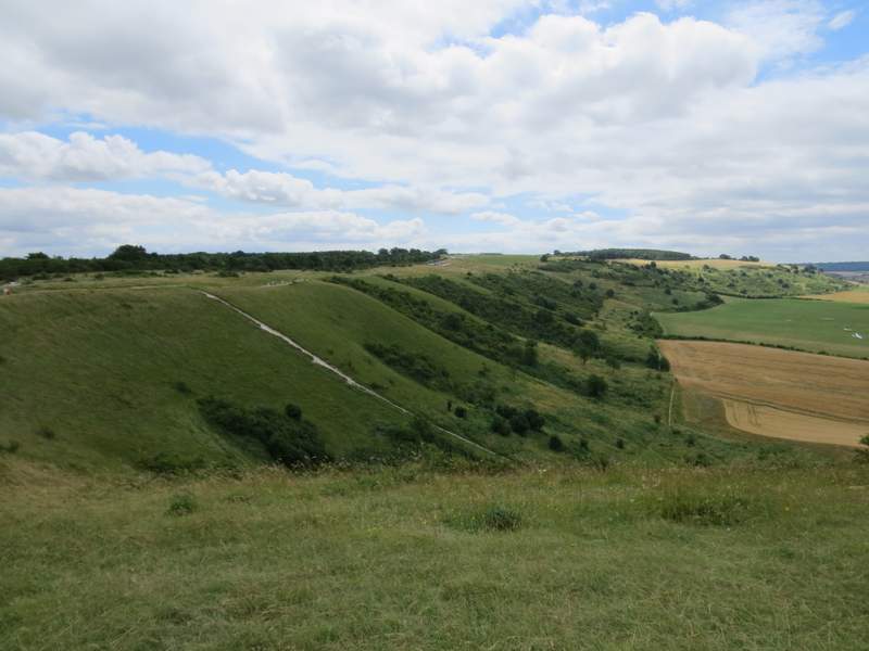
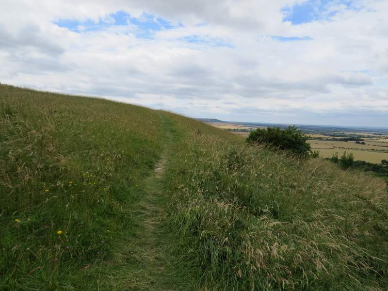
Looking along the Downs from Orange Hill
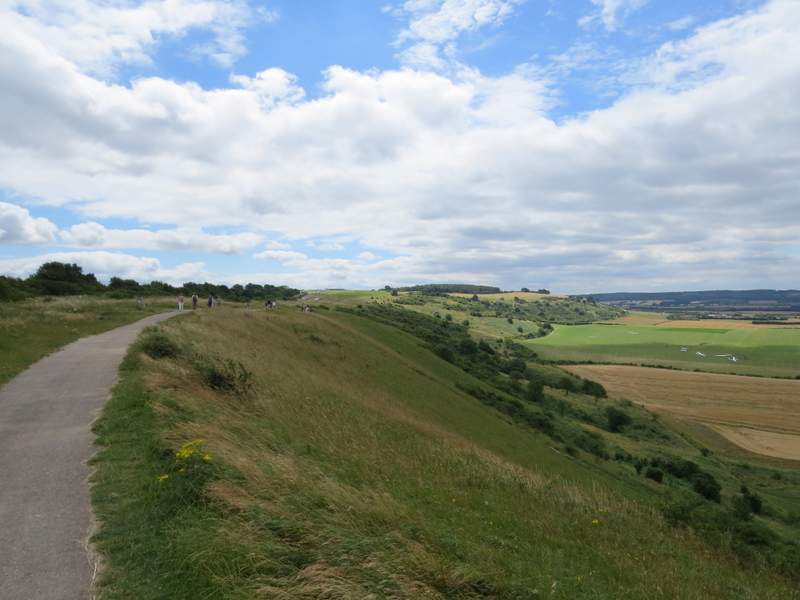
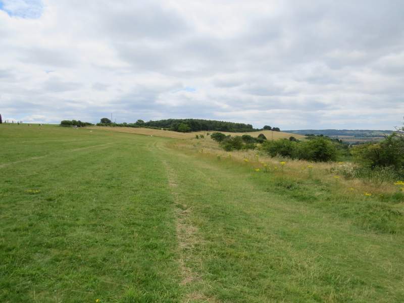
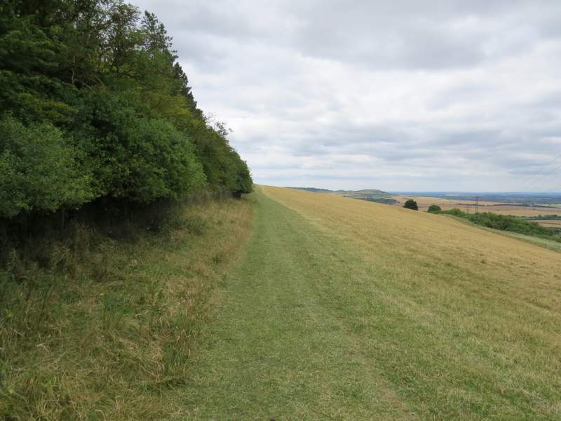
The path along Dunstable Downs
The path along Dunstable Downs
The path along Dunstable Downs
I continued straight on along the top of the downs. After a while I was walking along the edge of an area of shorter grass with taller, rougher grass on my right. When I was roughly parallel to the Chiltern Gateway Centre over to my left, I went half-left across the shorter grass to reach the near end of a hedgerow, and then continued along a path with the hedgerow on my left. After going through a metal kissing gate (where I think I was crossing from Dunstable Downs to Whipsnade Downs) the path started to cross a huge sheep pasture (another path stayed alongside the edge of the pasture, to my left). It soon reached the corner of a wood (on my left), and continued beside the wood for some distance. Sometime after the end of the wood, I came across four people trying to manipulate a herd of sheep - I wasn't sure if they were trying to get the sheep into or out of a small enclosure here. I carried on along the edge of the pasture until I reached it's corner, where I went through a gate and made my way the short distance to the car park where I'd started.
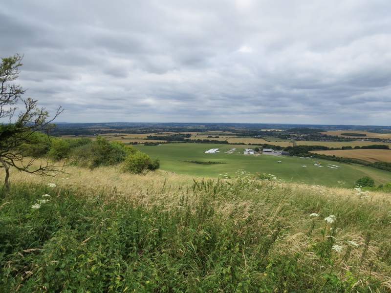
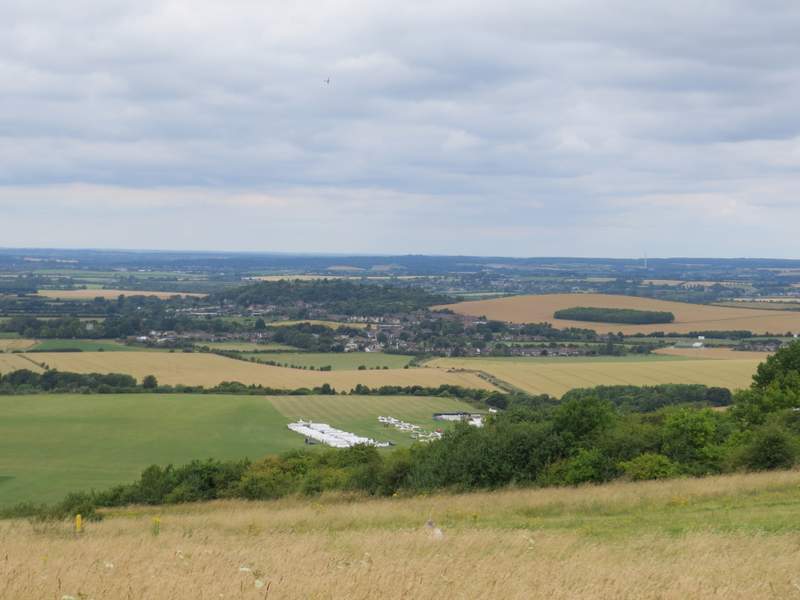
The view from Dunstable Downs, over the London Gliding Club and part of the Vale of Aylesbury
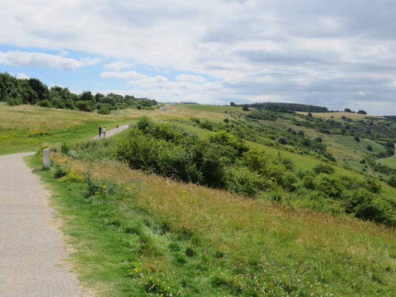
The path along Dunstable Downs - the Chiltern Gateway Centrewas to my left here, and at this point I started to go half-left across the grass to the end of the hedge near the right of the photo
The path along Dunstable Downs
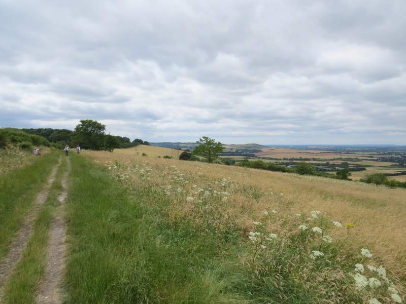
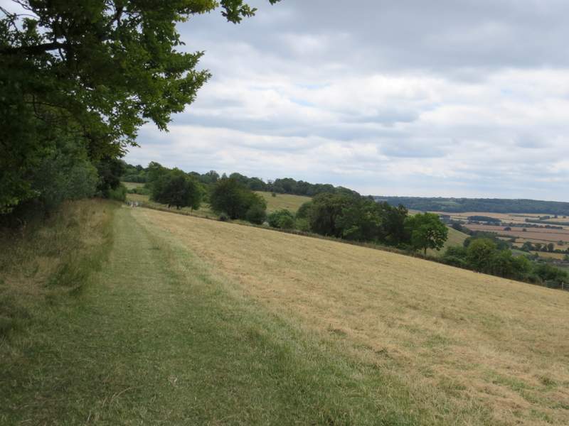
Another view, this time looking towards Totternhoe
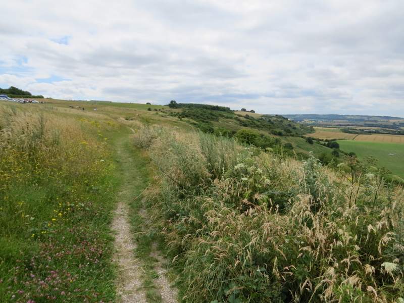
The path along the top of the huge pasture, on Whipsnade Downs
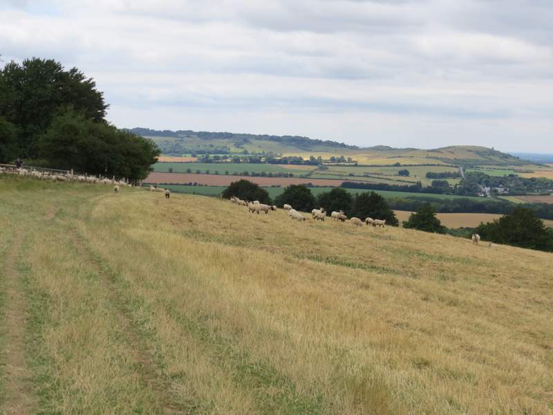
The path along the top of the huge pasture, on Whipsnade Downs
The path along the top of the huge pasture, on Whipsnade Downs, approaching the Bison Hill car park
I enjoyed this walk, other than the overgrown start to the path along the foot of the Downs. Some of the paths around Totternhoe I'd only walked once in the opposite direction, when I did this walk last year, and that was also the last time I'd enjoyed the long and easy stroll over the Downs with their superb views out over the Vale of Aylesbury. I'm sure I'll do this walk again sometime, when I want to do a shorter walk close to home.