Pete's Walks- Cadmore End, Crowell Hill, Radnage (page 4 of 6)
If you are considering walking this route yourself, please see my disclaimer. You may also like to see these notes about the maps and GPX files.
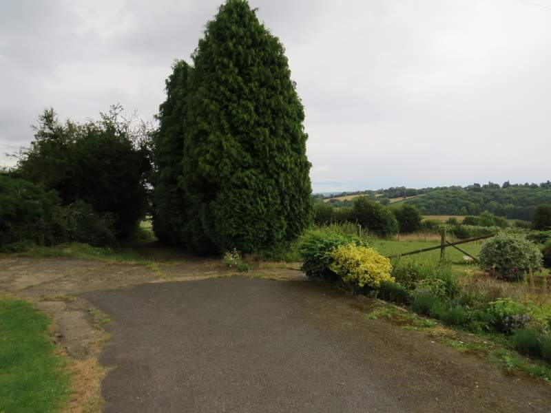
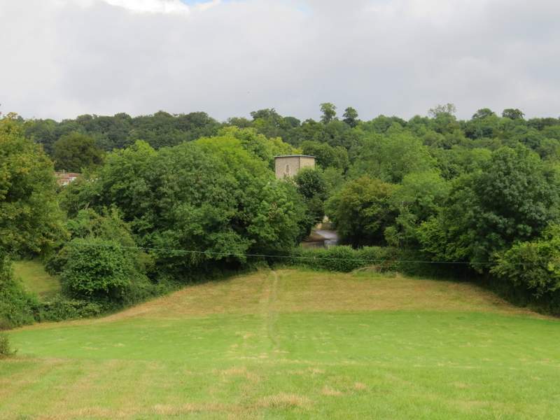
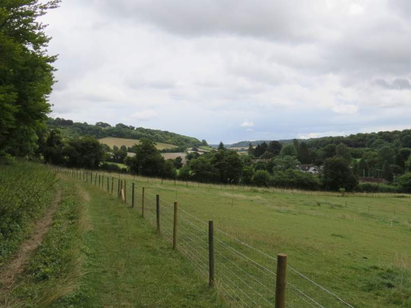
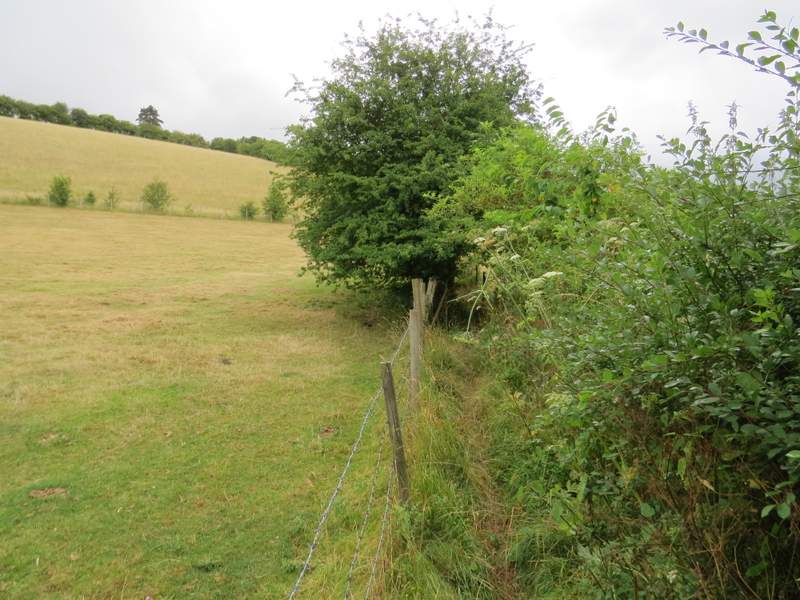
On leaving Crowell Wood, I carried on down a lane called Grange Farm road. When I reached the far end of a large corn field on my left, I took a footpath going sharply left, rising uphill across the field - the rain had now stopped, but it had left the crop very wet and my trouser legs were soon soaked. Near the top of the hill the path turned left along the edge of the field, beside a tall hedge of trees. In the field corner I followed a track through a gap in the hedge, but almost immediately went right through a small gate. The path continued along the right of a small grass area near Andridge Farm.
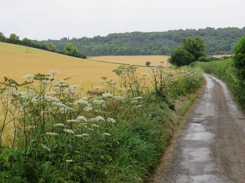
Grange Farm road
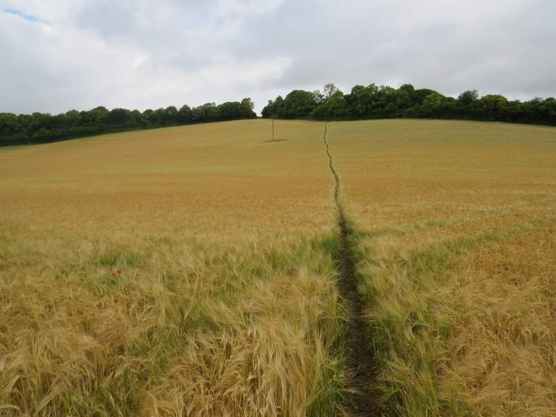
The start of the path from Grange Farm Road to Andridge Farm
The path from Grange Farm Road to Andridge Farm
The path from Grange Farm Road to Andridge Farm
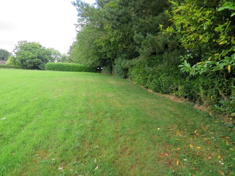
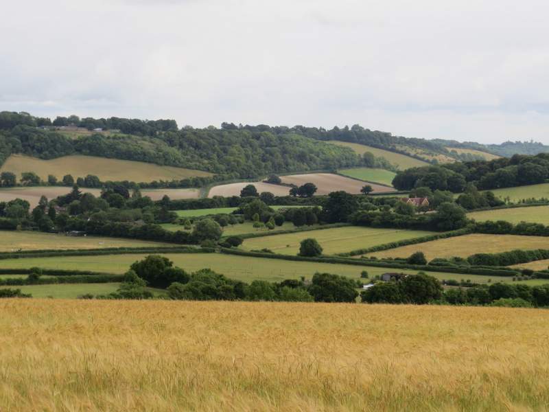
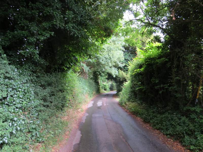
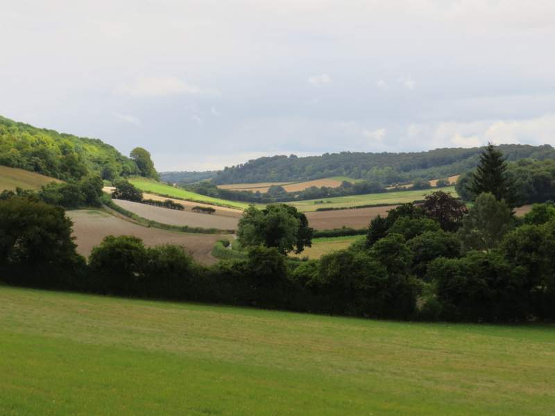
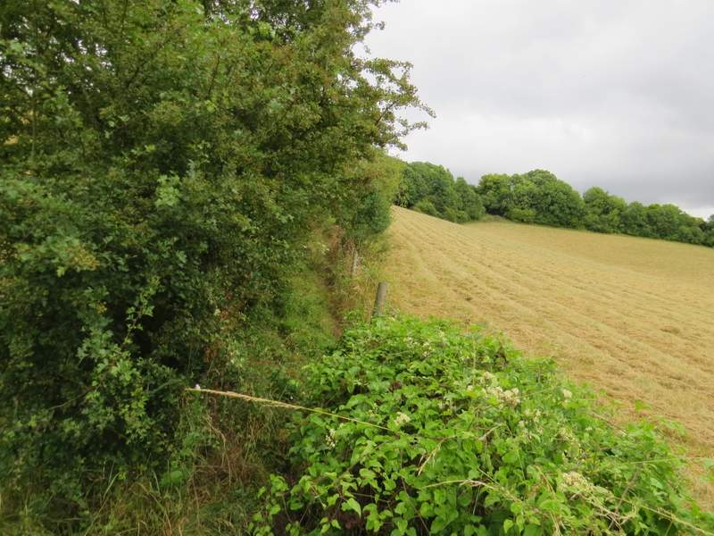
Through a gate and across a drive, I took a footpath going along slightly right along a drive between a few residences and then between some bushes and fir trees. The path then went left along the edge of a corn field, with a fine view over the field to a valley and Bledlow Ridge. The path descended a little way, then went through some bushes by a cottage to reach a lane. Here I went left, spotting more Nettle-leaved Bellflower beside the lane, then turned left at a lane junction in Town End, one of the several rather scattered communities that make up the village of Radnage. After two or three hundred yards I turned right onto a path that crossed a drive, then ran through a long thin meadow. Across another lane, I reached Radnage church where I stopped to eat my packed lunch on a seat in the churchyard.
Near the start of the path from Andridge Farm to Town End, Radnage - the path continues through the gap to the left of the fir trees.
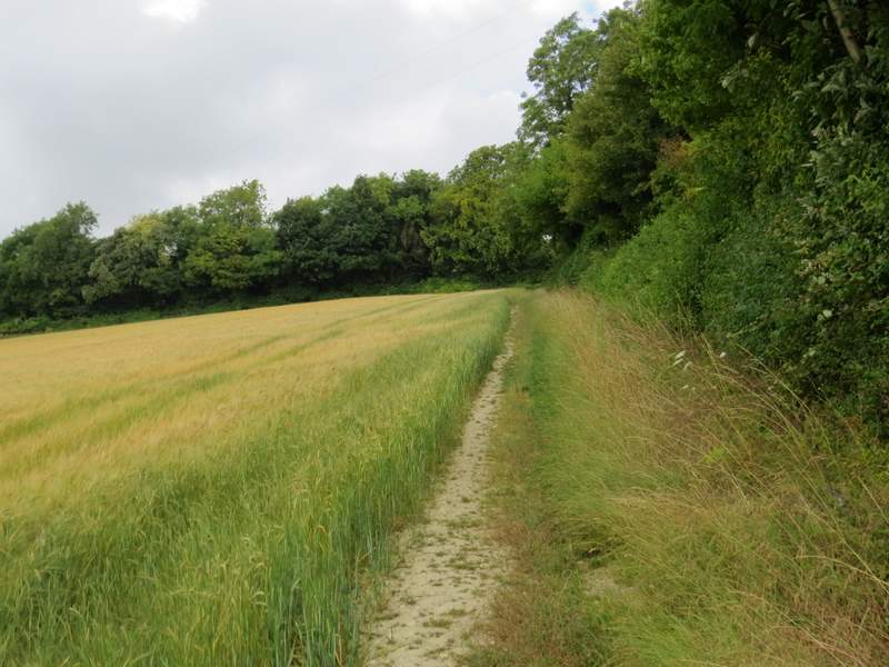
View from the path from Andridge Farm to Town End, Radnage
The path from Andridge Farm to Town End, Radnage
The lane into Town End, Radnage
The path from Town End to Radnage church
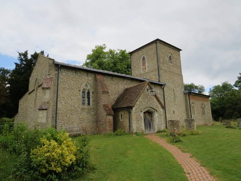
Radnage church
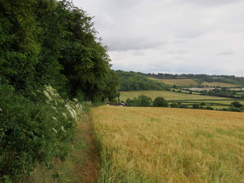
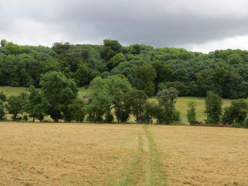
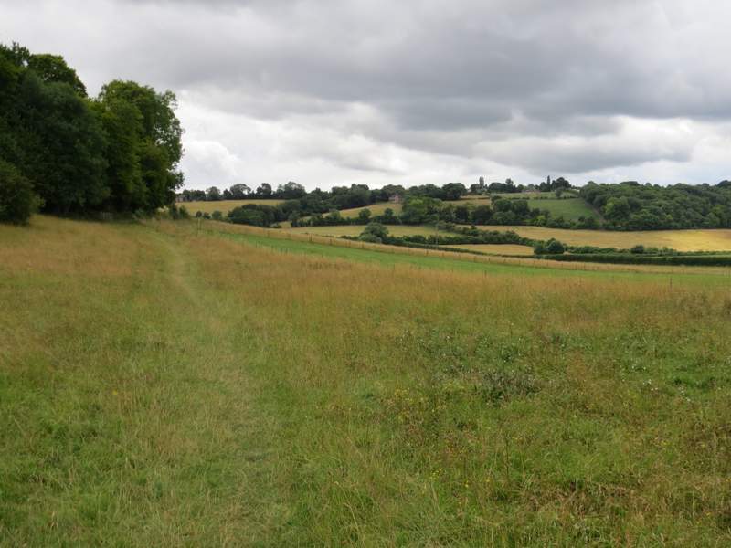
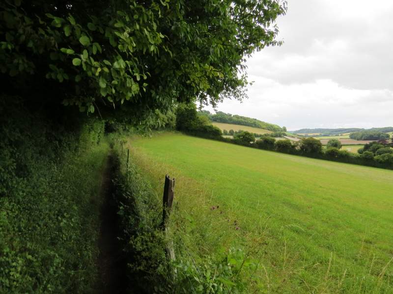
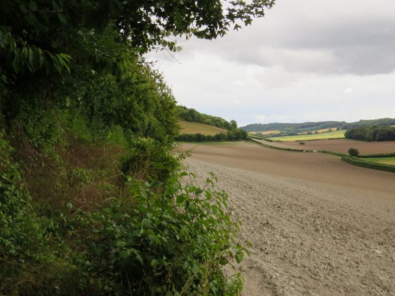
I then continued along a path starting at the back of the churchyard, across a couple of meadows. On entering a third meadow, the path forked and I took the right fork, soon having Yoesden Wood on my left. The path continued alongside two or three fields on my right, but eventually became so overgrown I did what many other before me had obviously done and walked long the very edge of the ploughed field on my right. But I rejoined the proper path just before it started to go uphill between fences and hedges, rising towards the village of Bledlow Ridge (which is also the name of this hill).
The path from Radnage church
The path after I forked right at a gate
The path continuing besides Yoesden Wood
A close-up view from further along the path
Further along the same path
Further along the same path
The path as it starts to rise uphill towards Bledlow Ridge
The path rising uphill towards Bledlow Ridge