Pete's Walks- Southeast from Cadmore End (page 5 of 6)
If you are considering walking this route yourself, please see my disclaimer. You may also like to see these notes about the maps and GPX files.
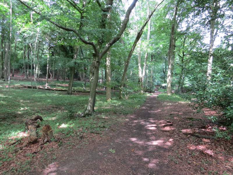
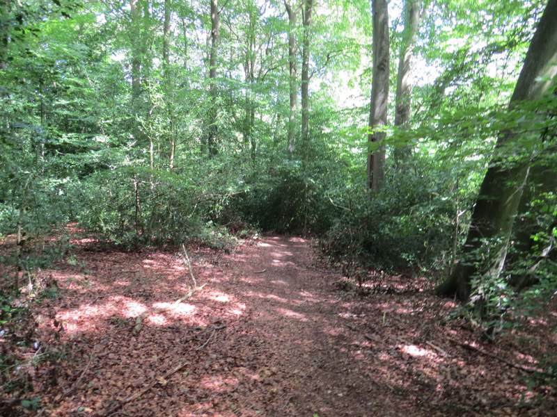
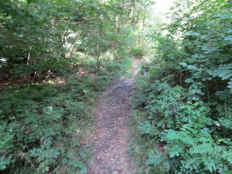
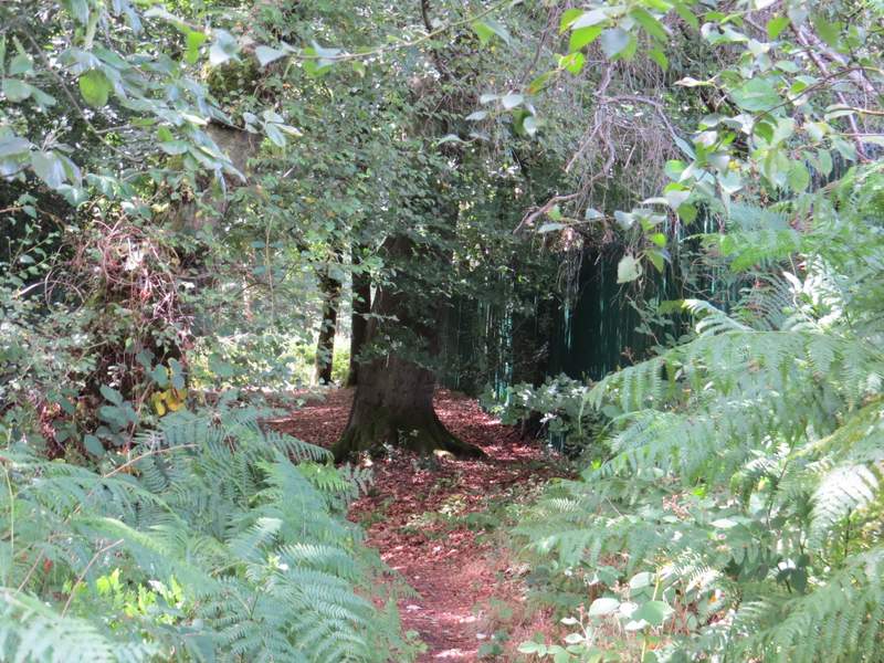
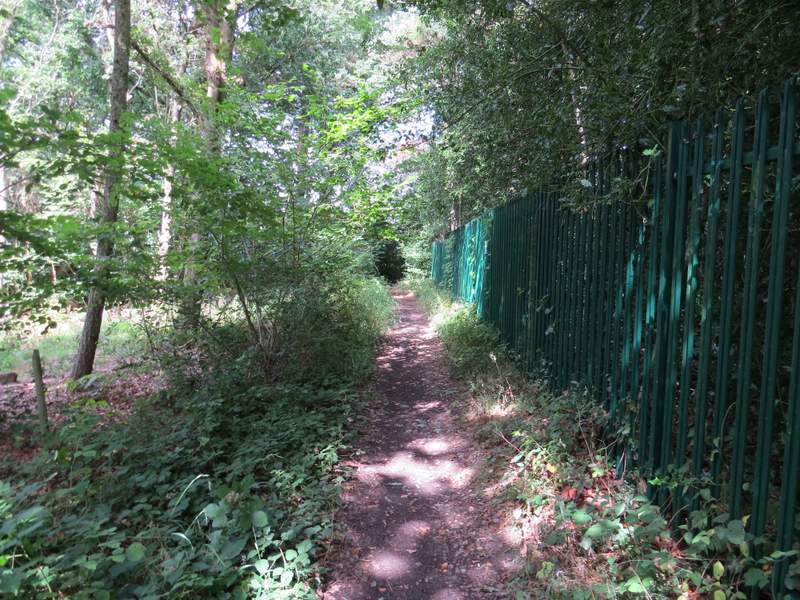
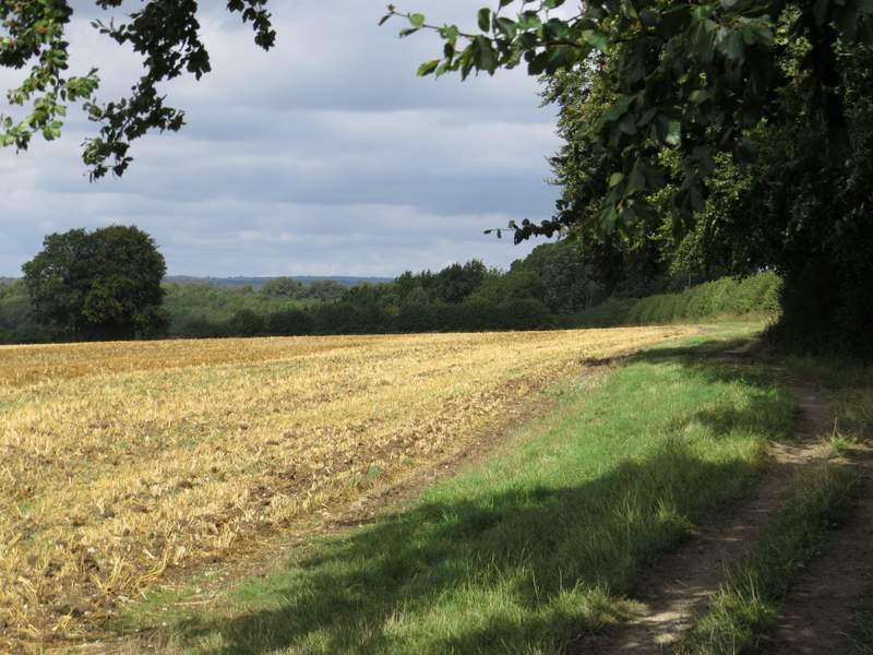
I followed the bridleway through Moor Wood for over half a mile. Initially there was steep scrub-covered slope just a short way to my right, then there was section where the wood was on either side, and then a section where I had a field on my right. Not long after the field ended, I came to a rather complicated junction. The track the bridleway had been following curved left, a path went right, and the bridleway went straight on (its start from where it left the track was half-hidden by the low branches of a tree). I stayed on the rather narrow bridleway, which gently rose uphill - for at least some of the way there was the remains of a fence on my right.
The bridleway through Moor Wood
The bridleway through Moor Wood
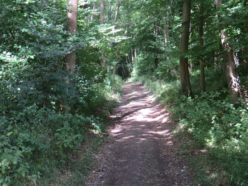
The bridleway through Moor Wood
The bridleway through Moor Wood
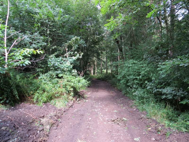
The bridleway through Moor Wood
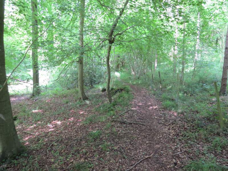
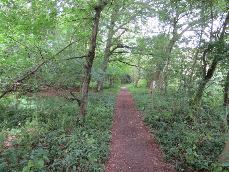
The bridleway through Moor Wood, after I forked right from the track
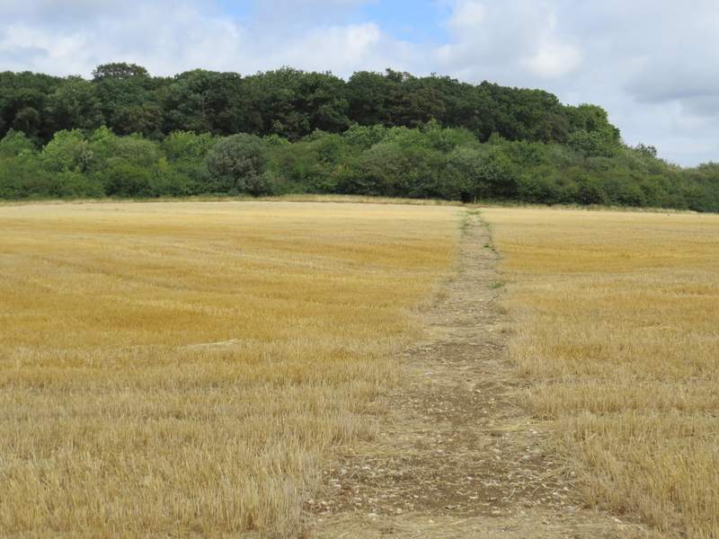
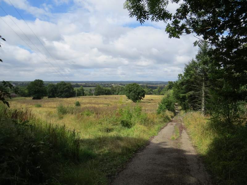
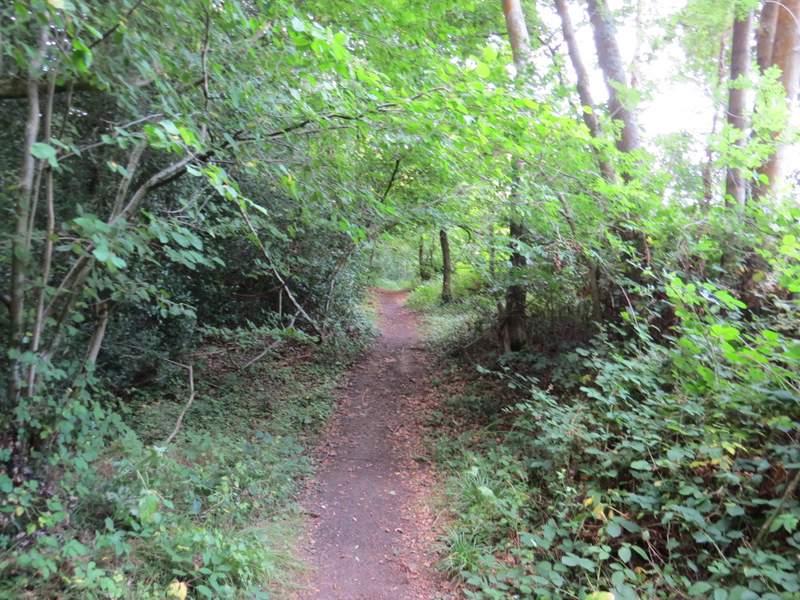
At the top of the slope, the path left the wood and went half-left across a grassy field, containing a small flock of geese, to a gate in the corner. From here I went left along a permissive path, which saved what would otherwise have been a slightly dangerous walk along the B482 (I walked the opposite way along the road from the gate once, and haven't wanted to repeat the experience). At the end of the permissive path I crossed the road (this was quite nasty, it was difficult to see traffic coming from the right) and took a path that crossed a stubble field to reach Widdenton Park Wood. The path continued through the wood, staying close to an edge of the wood on my right.
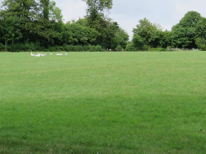
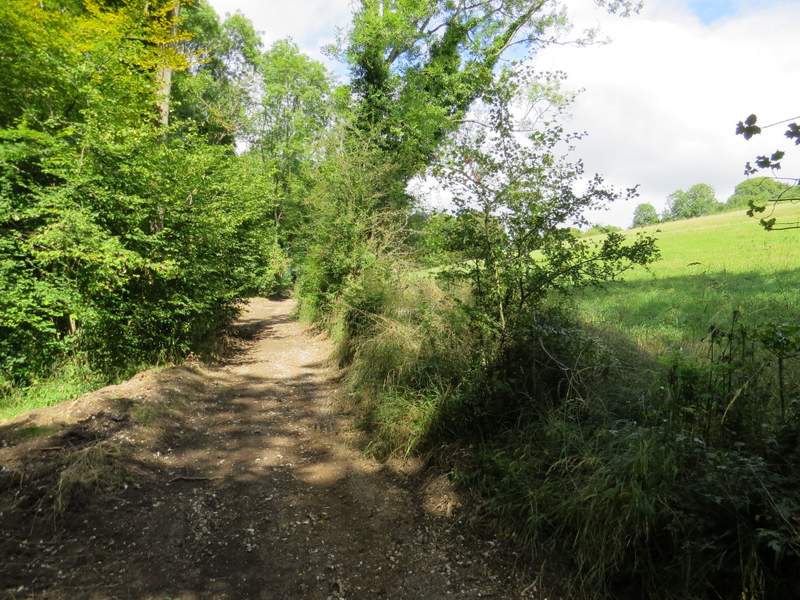
The bridleway continuing across the field after Moor Wood
The permissive path beside the road (B482)
The path to Widdenton Park Wood
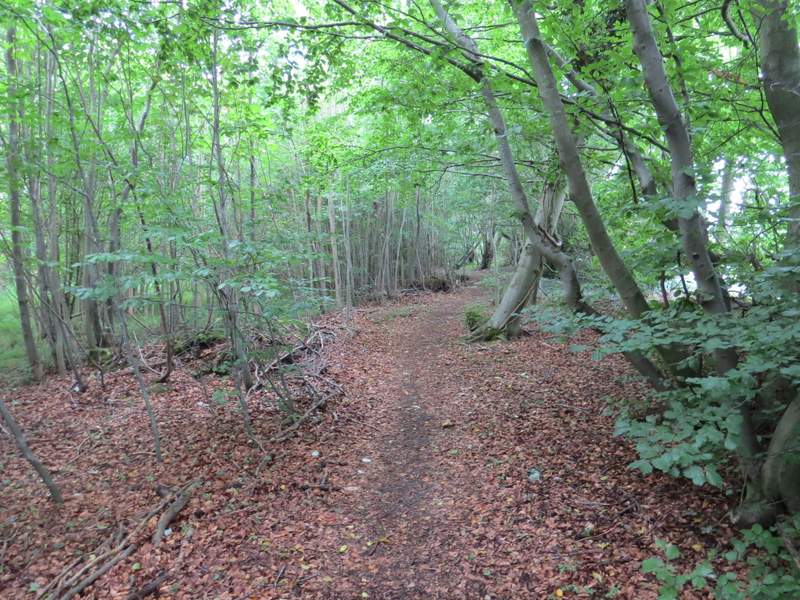
The path continuing through Widdenton Park Wood
When I reached a path T-junction, I turned left and carried on through more of the wood. After a few hundred yards I reached the tall green fence surrounding a reservoir, which the path followed to the left. It then turned right along another side of the reservoir, and then continued along the drive from the reservoir. After maybe three hundred yards or so, I turned right onto a path that ran through another section of Widdenton Park Wood - this soon turned half-left, and left the wood where a drive reached a road. I turned right along the road and immediately crossed the M40.
The path through Widdenton Park Wood, after I turned left
The footpath continuing past the southern side of the reservoir ...
... and then along the western side
The drive from the reservoir
The path through another part of Widdenton Park Wood
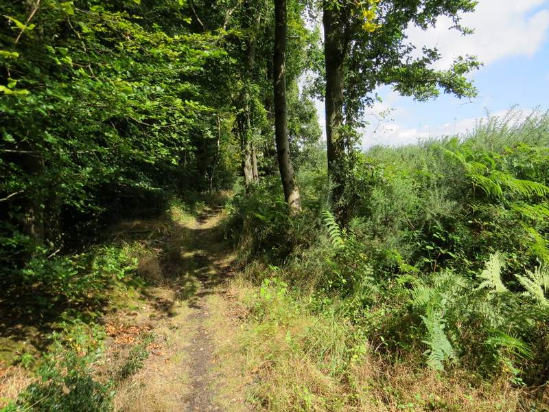
The path through another part of Widdenton Park Wood
A few yards further along the road, I took a footpath on the left. This ran beside a wood on the right, and then continued alongside a hedge. I then went over a stile (or through a gate, I can't quite remember) in the hedge and walked through an empty paddock - I followed the boundary on my left as it turned left and brought me to another stile (or gate!) by Fryer's Farm.
The path on the other side of the M40, after I crossed the motorway bridge and turned left
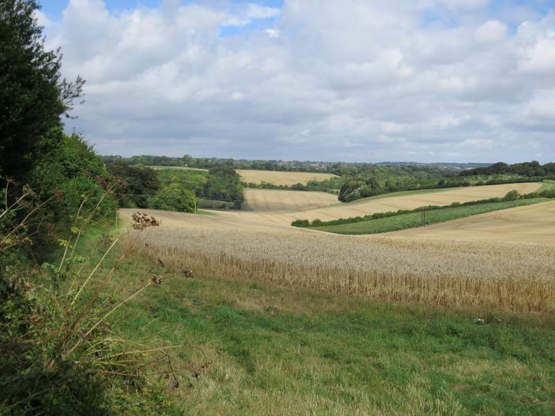
View from near Fryer's Farm - this might look lovely and rural but it's actually very close to the mighty metropolis of High Wycome, in fact Wycombe Wanderers ground is just behind the nearest trees on the right