Pete's Walks- Cowleaze Wood, Christmas Common, Studdridge Farm (page 1 of 4)
If you are considering walking this route yourself, please see my disclaimer. You may also like to see these notes about the maps and GPX files.
Google map of the walkDownload GPX file of the walk
NOTE (6/11/2025): Parking at Cowleaze Wood is no longer free, there is now a cashless payment system. To see details, click here and then click on the 'Parking and prices' tab.
I did this circular walk of about 9.4 miles on Saturday, 24th September 2016. It was a repeat of a walk I did in January 2016, but in the opposite (anti-clockwise) direction.
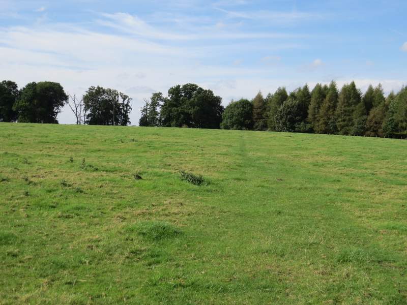
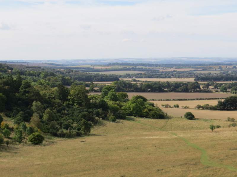
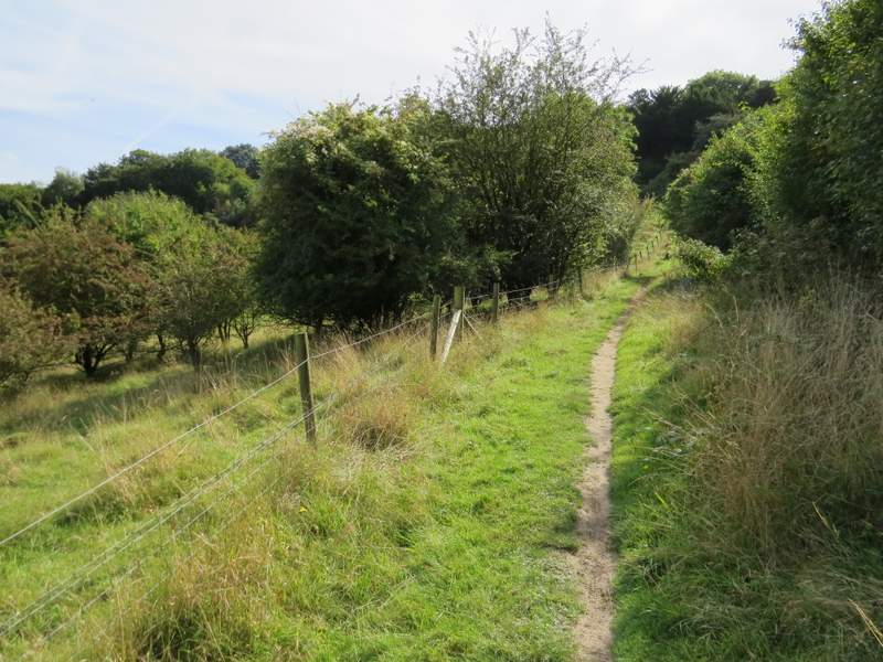
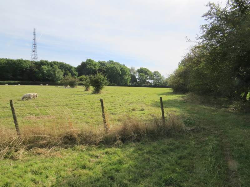
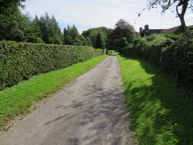
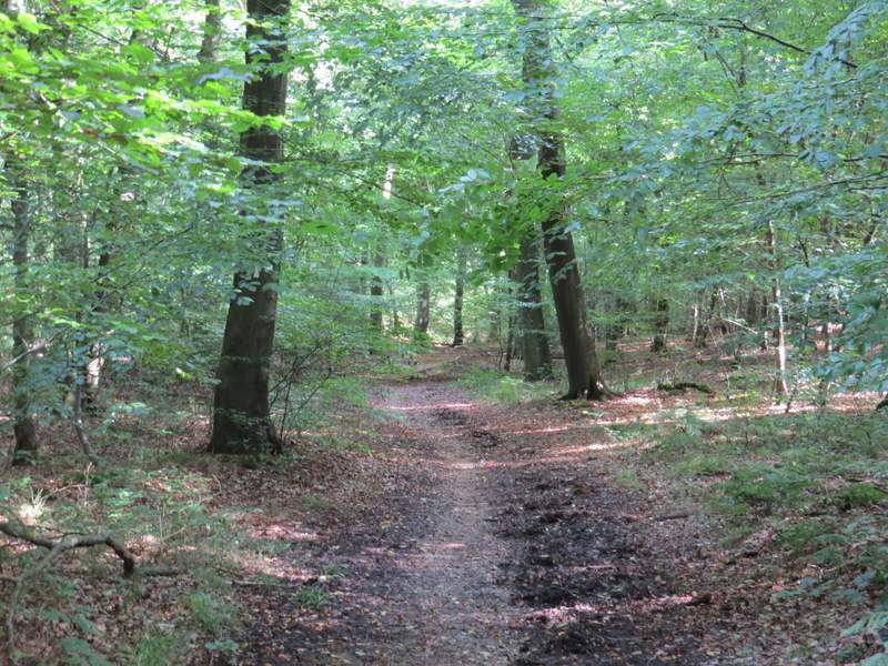
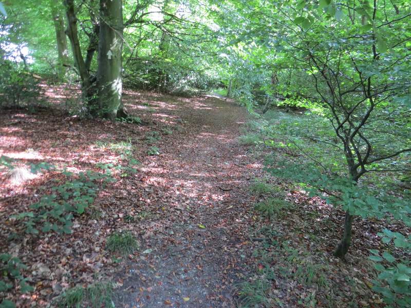
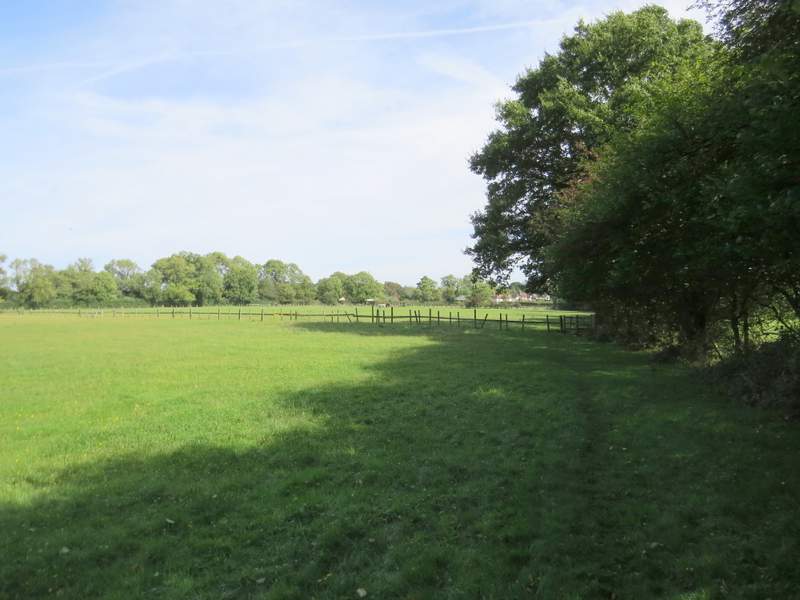
I parked at Cowleaze Wood, on the Chiltern escarpment a few miles west of Stokenchurch (grid reference SU 726956), and started walking at about 11.35am. I took the path out of the southern end of the car park (so the road was to my right) and at its end took the second footpath on the other side of the road (starting to the left of a tree belt). The path crossed a large cattle pasture (there were cows some way to my left), aiming towards the left end of a line of conifers. It then ran through a narrow part of Shirburn Wood, before descending the grassy southern flank of Shirburn Hill. There was a splendid view ahead over the Oxfordshire plain, which is why I always enjoy starting a walk along this path. At the bottom of the slope I went through a gate, turned right for a few yards, then turned left. I now had Shirburn Wood sloping uphill on my left, with fields of stubble beyond a wire fence on my right. I continued along this path for almost a mile, until it ended on a surfaced drive.
The start of the path from opposite Cowleaze Wood
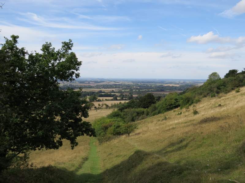
The path descending Shirburn Hill
The path descending Shirburn Hill - this always makes for a great start to a walk! (I kept left at the apparent fork in the path)
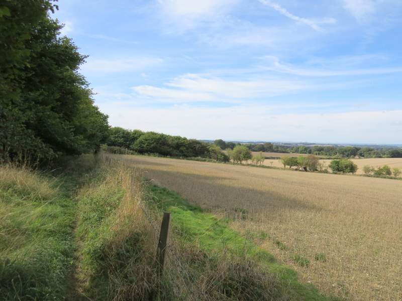
The path continuing along the bottom of Shirburn Wood
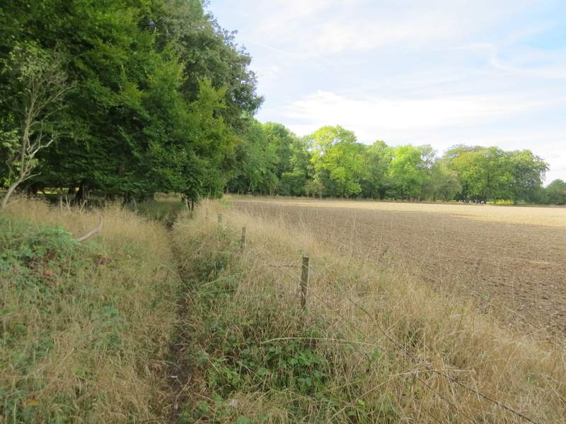
The path continuing along the bottom of Shirburn Wood
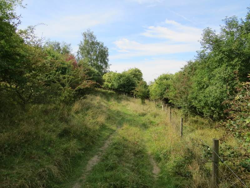
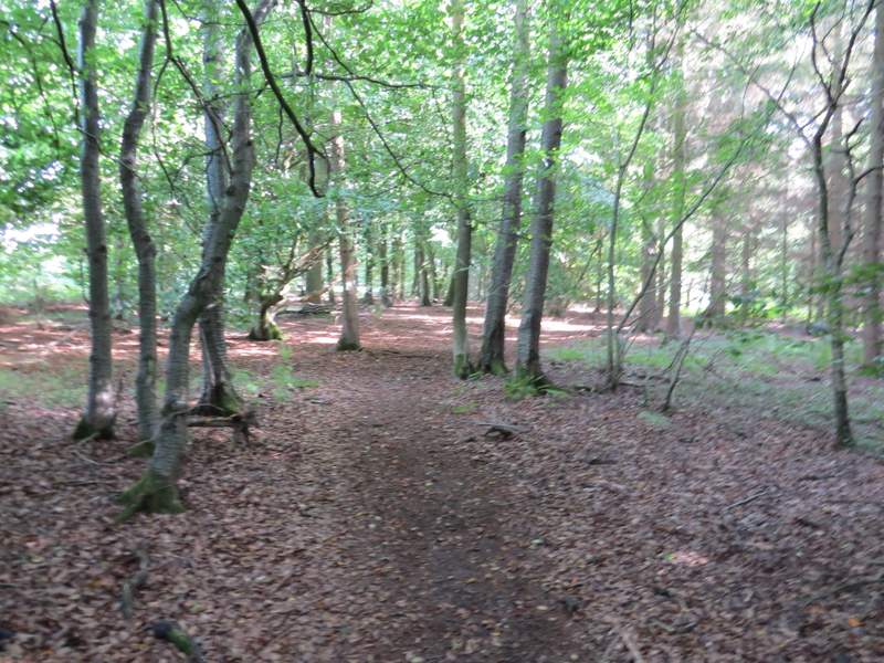
The path continuing towards Pyrton
I turned left and followed the drive past a sawmill, the entrance to Pyrton Hill House and a 'Cat Hotel'. At the end of the drive a bridleway continued up Pyrton Hill (well, I always think of this as Pyrton Hill, but that's actually to the left, the bridleway really follows a gap between Pyrton Hill and Watlington Hill). Towards the top of the slope, I took a footpath forking half-right and followed it along the edge of two sheep pastures to reach a minor road just as it entered Christmas Common. I turned right and followed the road through the village (ignoring roads going right and left). A little after passing the village pub, I turned left (immediately before the former church) onto a footpath that took me through Queen Wood, on the far side of which I went a few yards left along a driveway to reach Hollandridge Lane.
The drive past Pyrton Hill House
The start of the path up Pyrton Hill
The path up Pyrton Hill
The path after I forked half-right, heading to Christmas Common
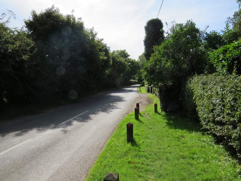
The road through Christmas Common
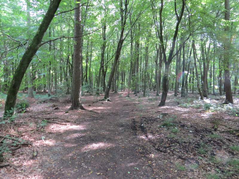
Queen Wood, Christmas Common
I turned right along the lane, and just after passing the last residence on the right I took a bridleway going left into a wood (Prior's Grove). The bridleway descended slightly to a valley bottom where it turned right - here I continued straight on, along a footpath. When this left the wood, it continued along the right edge of some paddocks to reach Launder's Farm. I carried straight on (passing a long brick outbuilding on my right) and went into some woodland (a bridleway went right here). A few yards into the wood, I took a path going left which soon brought me to the road through Northend (in the parish of Turville).
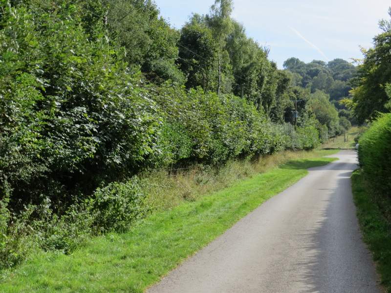
Hollandridge Lane, Christmas Common
The bridleway descending through Prior's Grove
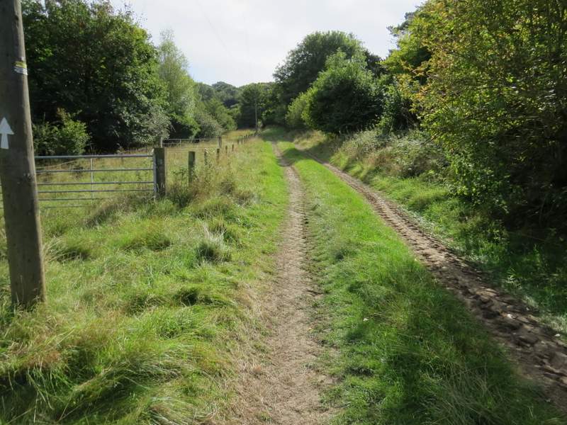
The path to Northend
The path to Northend
The path to Northend