Pete's Walks- Chenies, Ley Hill, Chipperfield Common (page 2 of 5)
If you are considering walking this route yourself, please see my disclaimer. You may also like to see these notes about the maps and GPX files.
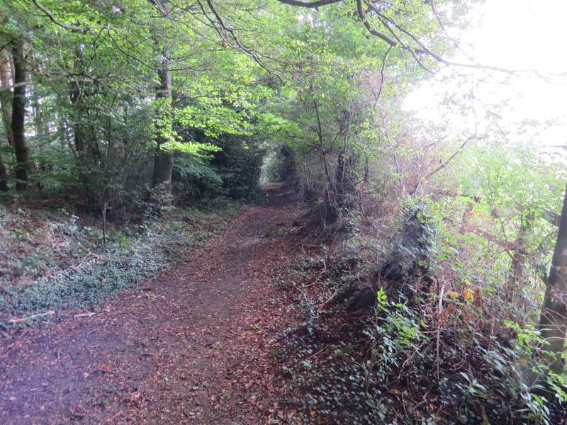
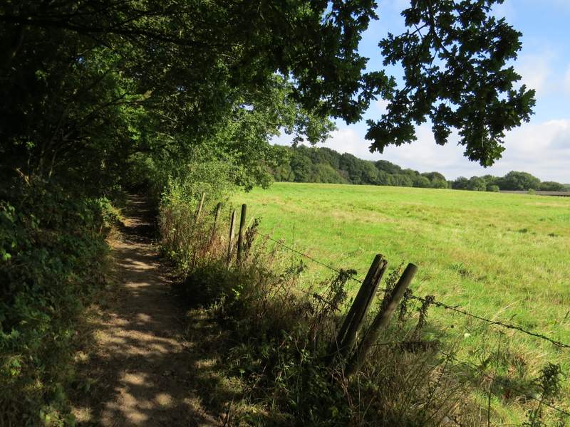
I turned right (north) along the bridleway and followed it uphill at a fairly easy gradient. After several hundred yards the hedge on my right was replaced by a wooden fence, with a field of stubble beyond. The bridleway had now levelled out, and at the end of the field it ended at a T-junction with another bridleway, running along a track named Green Lane on the OS map. I turned right along the lane for maybe 100 yards, then turned left onto another bridleway (there was another Marshal for the Ley Hill Challenge at this junction).
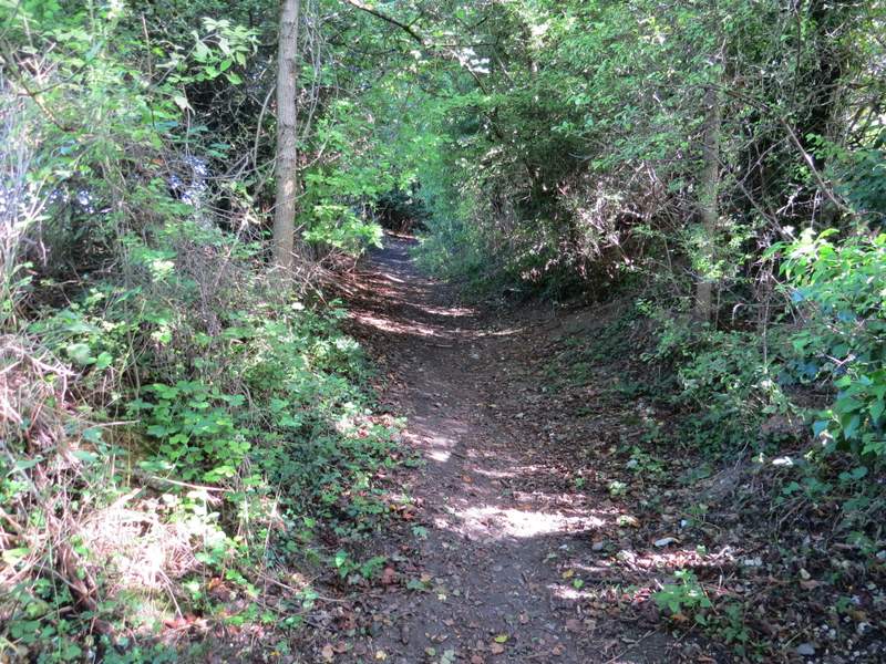
The bridleway going north to Green Lane
The bridleway going north to Green Lane
The bridleway going north to Green Lane
The bridleway going north to Green Lane
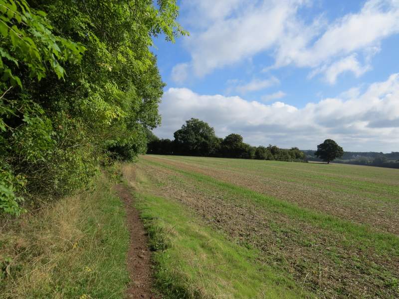
Green Lane
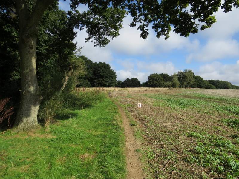
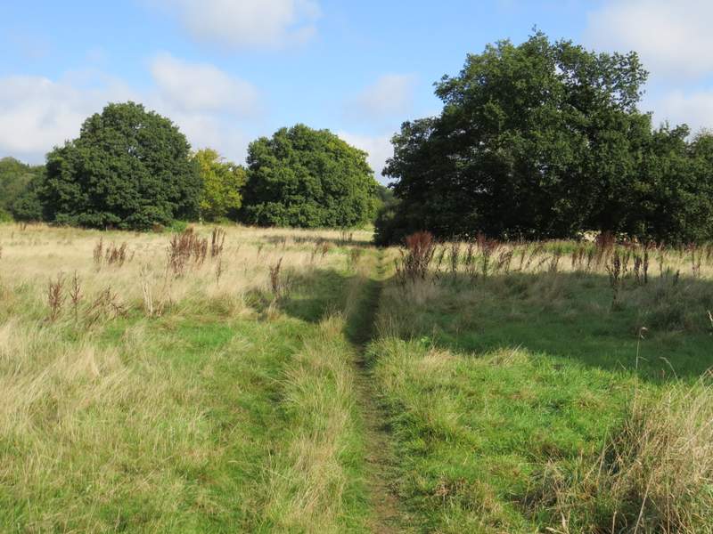
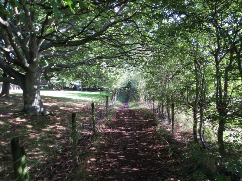
The bridleway headed north following the edge of a wood for a few yards, then crossing a large area of rough grass dotted with trees (presumably the park land around a large house that must have stood here at one time, possibly named White End as there is a White End Park Farm nearby). On the far side, one of two more Marshals held a gate open for me, and then I hurriedly got out of the way of the first two runners who were just a few yards behind me. A few more runners passed me as I continued along the bridleway, which bore slightly left here for a short distance before turning slightly right as it ran along the edge of Cowcroft Wood. The race (and runners) turned left at a junction along here, but I carried on along the edge of the wood.
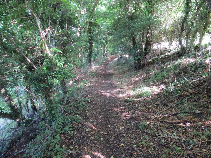
The bridleway going north from Green Lane
The bridleway going north from Green Lane
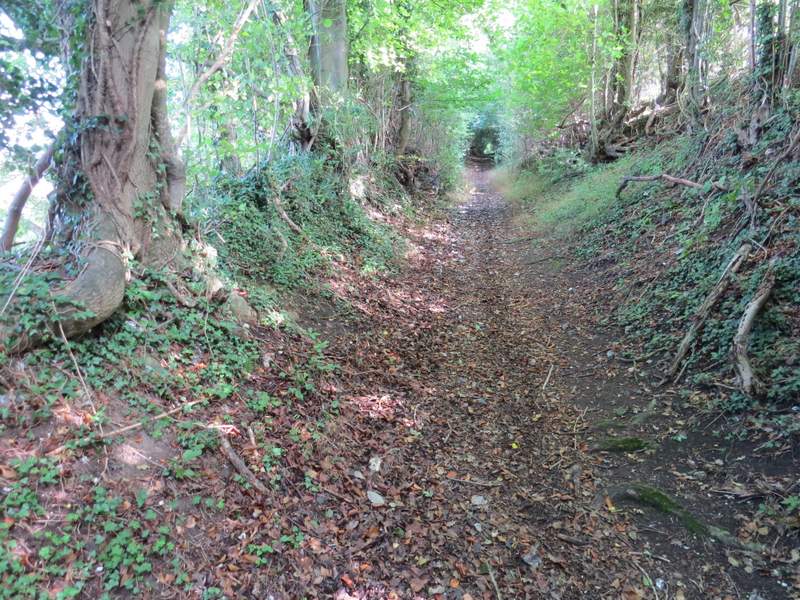
The bridleway continuing towards Cowcroft Wood
The bridleway continuing past Cowcroft Wood
The bridleway continuing past Cowcroft Wood
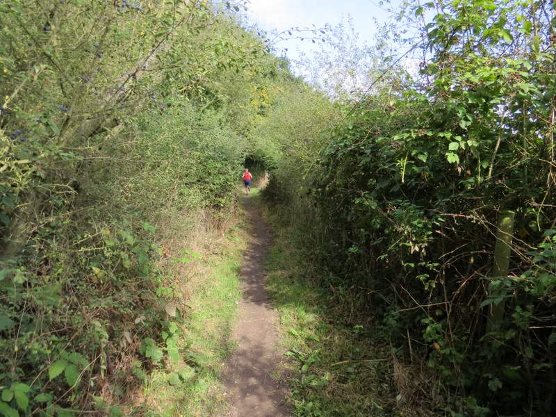
At the next junction I came to I turned right, following a bridleway that within a few yards had left Cowcroft Wood (I noticed that this section of it was paved with bricks, presumably from the brickworks that the OS map shows across the field on my right). Soon the bridleway was running between fences, and after a while it joined the drive from Cowcroft Wood and followed it to a lane just south of Ley Hill. I crossed over and took a path that ran through a wood (with unusually dense undergrowth, lots of Holly and brambles). I emerged from the wood on a gravel path on a golf course, where I went a few yards left and then walked behind a bench and then round the back of a raised 'tee' (I think I could have walked round the front instead) to where a waymark showed the path continued - it went through a few bushes then went slightly left as it crossed a fairway to reach a lane. I turned left along the lane, then went right at its end along another lane. Where this started to turn right, I took a bridleway on the left.
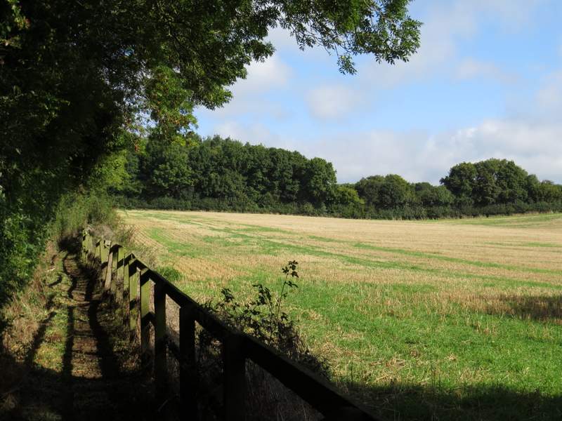
The bridleway from Cowcroft Wood
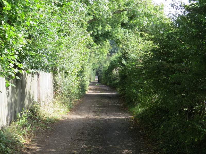
The bridleway from Cowcroft Wood
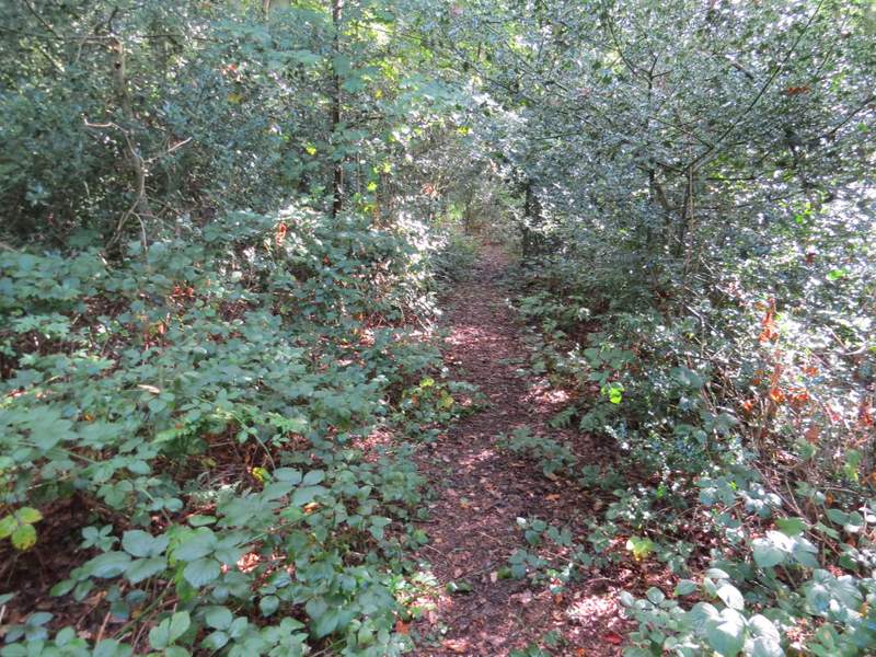
The path through the wood at Ley Hill
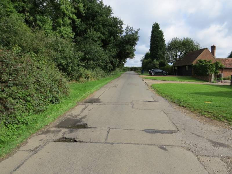
The lane at Ley Hill, after I crossed part of the golf course
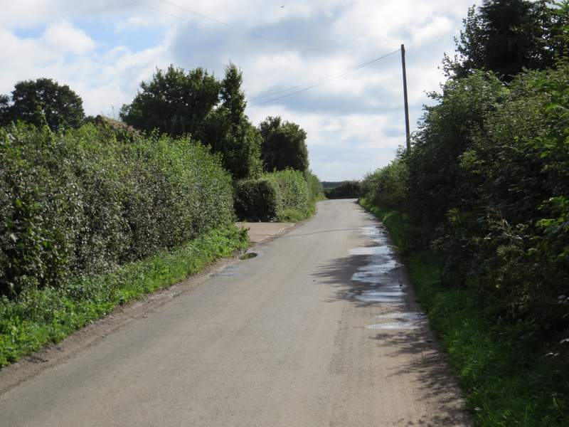
The lane out of Ley Hill