Pete's Walks- Chenies, Ley Hill, Chipperfield Common (page 4 of 5)
If you are considering walking this route yourself, please see my disclaimer. You may also like to see these notes about the maps and GPX files.
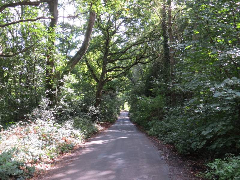
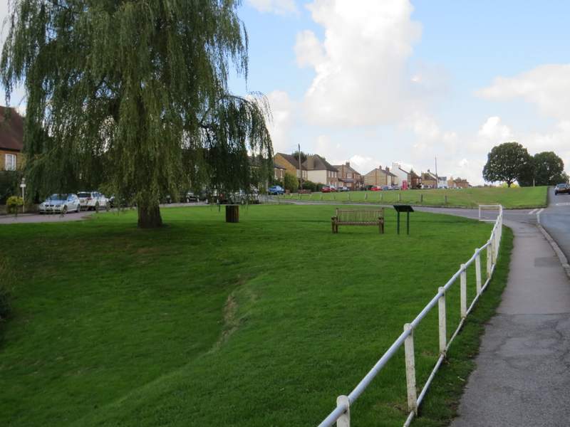
I turned left and walked a short distance along the road to where another road came in on the right. I turned into this road, then immediately took a path on the right that entered the wooded Chipperfield Common. I now followed this broad path along the southern edge of the common for almost a mile, until I reached Apostle's Pond on my right (I almost missed it, as it's hidden from the path by vegetation). It was now about 1pm and I sat on a bench on the far side of the pond to eat my lunch (a large party of young people in hiking gear were gathered round the bench I usually use here, I assumed they were doing something for their Duke of Edinburgh award).
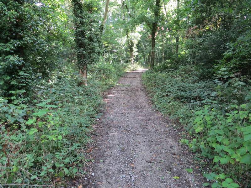
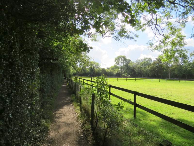
The start of the bridleway along the southern edge of Chipperfield Common
The bridleway along the southern edge of Chipperfield Common
The bridleway along the southern edge of Chipperfield Common
The bridleway along the southern edge of Chipperfield Common
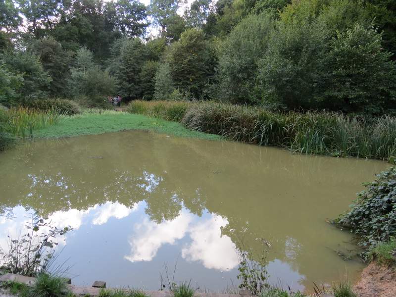
Apostles Pond, Chipperfield Common - the pond gets its name from 12 Lime trees that originally surrounded it
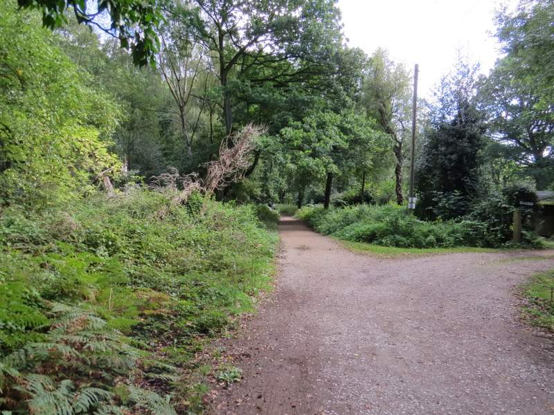
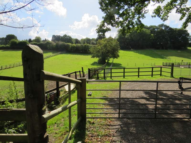
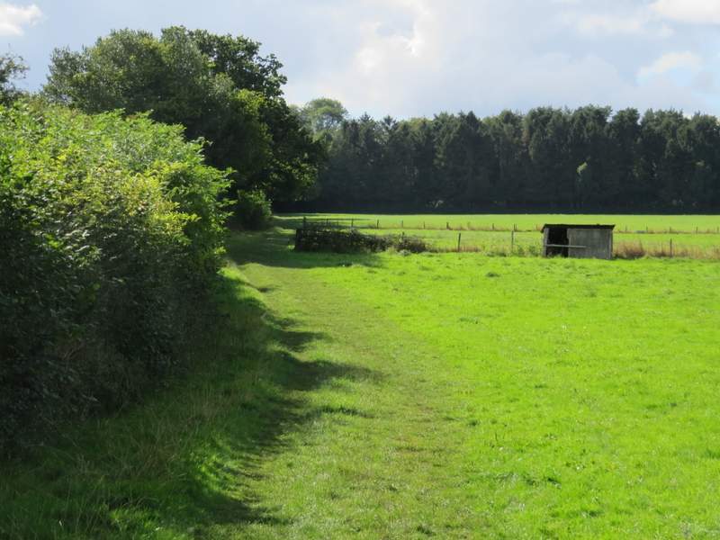
Lunch over, I took a path going right (from the path I'd been on) which ran between a tall hedge on the left and paddock fences on the right. Further on there were wire fences either side, with cows on my left and horses to the right. When the path ended at a bend in a byway (it looked just like a lane), I continued in the same direction as before. The byway soon ended at a junction with a minor road, where again I carried on in the same southerly direction. When the road split, I took the left-most fork, and followed this lane through Commonwood Common (which is more wood than common!).
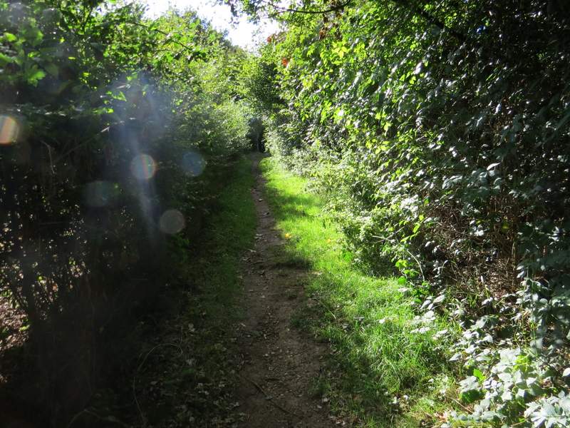
The path from Apostle's Pond, south to Commonwood
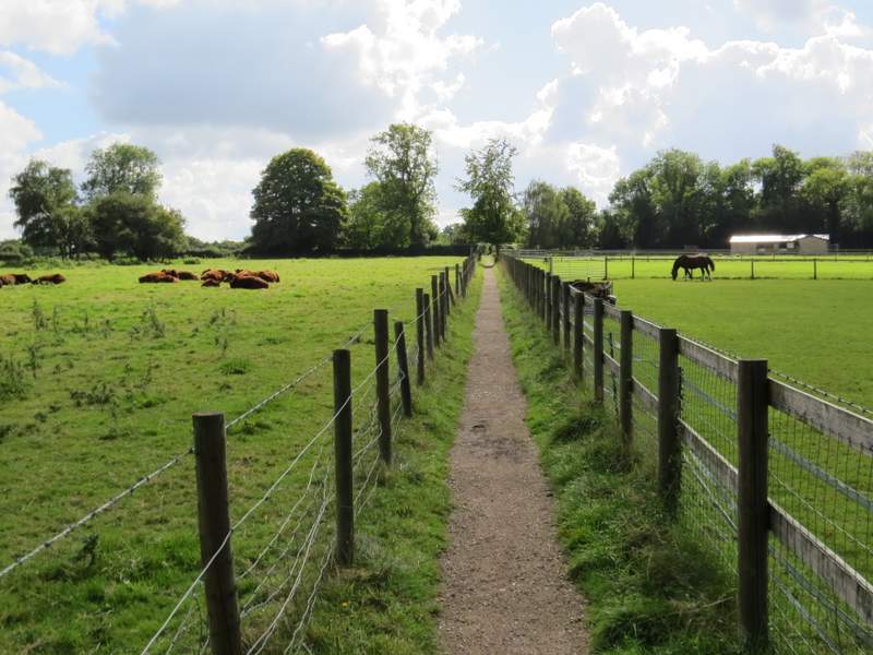
The path from Apostle's Pond, south to Commonwood
Commonwood
The lane through Commonwood Common
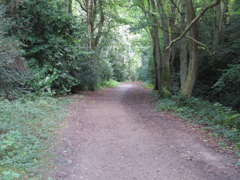
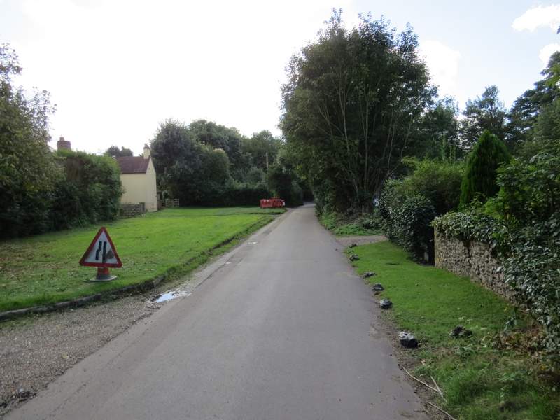
When the lane ended at a T-junction, I crossed over and took a footpath starting a few yards to the left. This path was soon running between paddock fences either side, then continued between hedges, with plantations of Christmas trees beyond some of the hedges. The path then went past some playing fields and brought me to a street in Sarratt, where I went straight on to reach a crossroads in the village centre. I turned right here, passing The Cricketers pub and a pond on my left. I then turned left, and took a footpath that started along a driveway between buildings.
The start of the path after I crossed the road south of Commonwood Common
The path continuing towards Sarratt
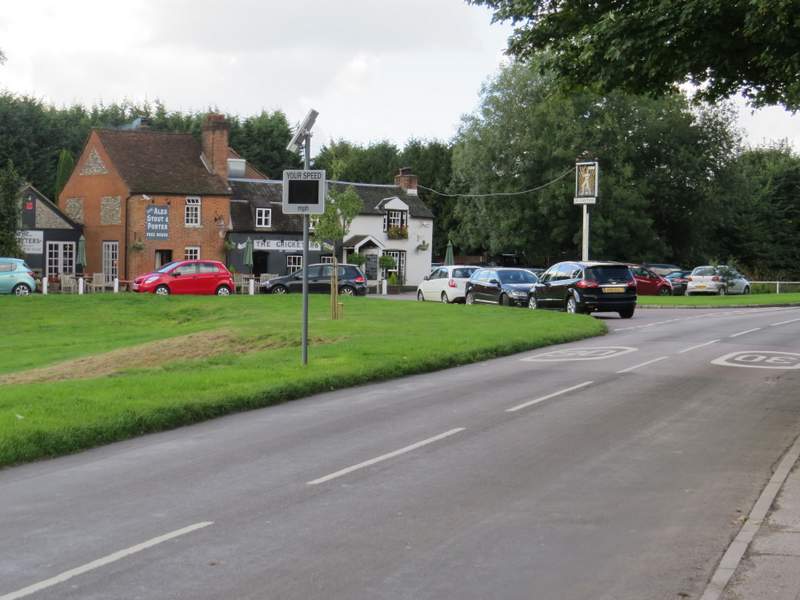
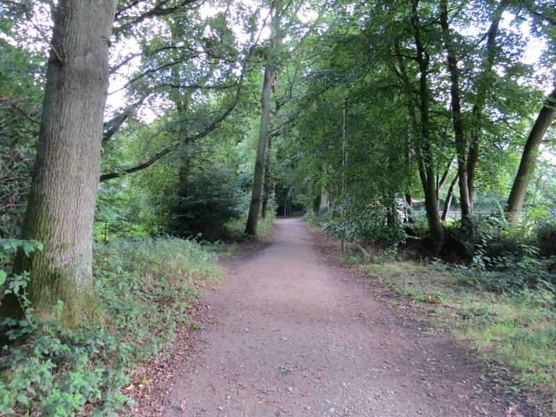
Sarratt
Sarratt (I turned left here, the path going down a drive hidden by the tree on the left of this shot)
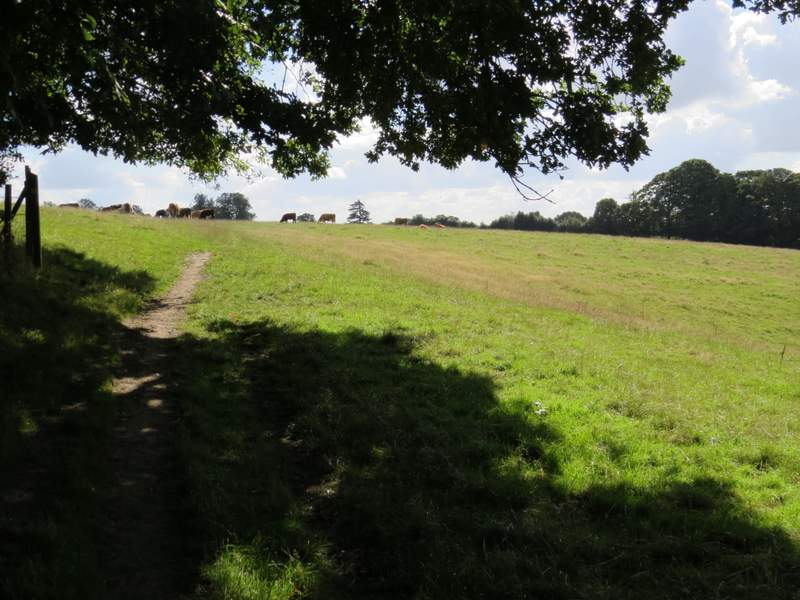
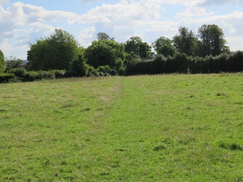
The path continued along the left edge of three empty paddocks or pastures. It then ran between fences along the edge of Sandfield Wood to reach a drive. Across this I went through a metal-kissing gate (a few yards to the left), and followed a path that initially ran left, under the boughs of some trees, and continued across a very large cattle pasture, with views over the Chess Valley on my right. The path through the pasture wasn't very clear (or I lost it as I tried to avoid the cows), and I struggled at first to work out where in the far hedgerow I should be aiming. Eventually I went further left than I first thought, into a slight corner of the field, where a gate took me into the churchyard of Sarratt church.
The path from Sarratt to Sarratt church
View over the Chess Valley, from the path from Sarratt to Sarratt church
The path from Sarratt to Sarratt church
Approaching Sarratt church
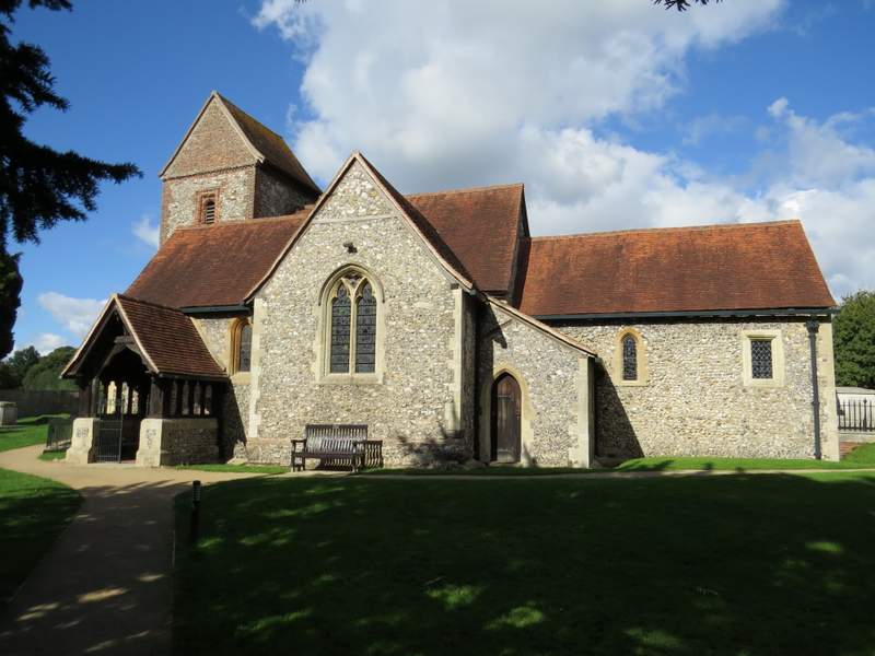
Sarratt church