Pete's Walks- Little Missenden and Forty Green (page 5 of 6)
If you are considering walking this route yourself, please see my disclaimer. You may also like to see these notes about the maps and GPX files.
I crossed the road and took a footpath starting a few yards to the right. This ran between a hedge and a garden fence, before continuing along the left side of a field that was currently stubble. It turned right in the field corner and when it came to a junction with a path coming from Bowers Farm (over to my right), I turned left along a broad headland between two ploughed fields. I went straight on at the next path crossroads (at a crossing hedgerow, the crossing path was another part of the Chiltern Way), still on the broad headland with two more ploughed fields either side. The path then continued between a fence and a tall hedge on my right, gently going uphill - there were some impressive houses at the top of the slope, including Coleshill House.
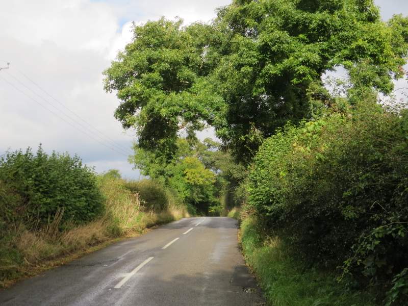
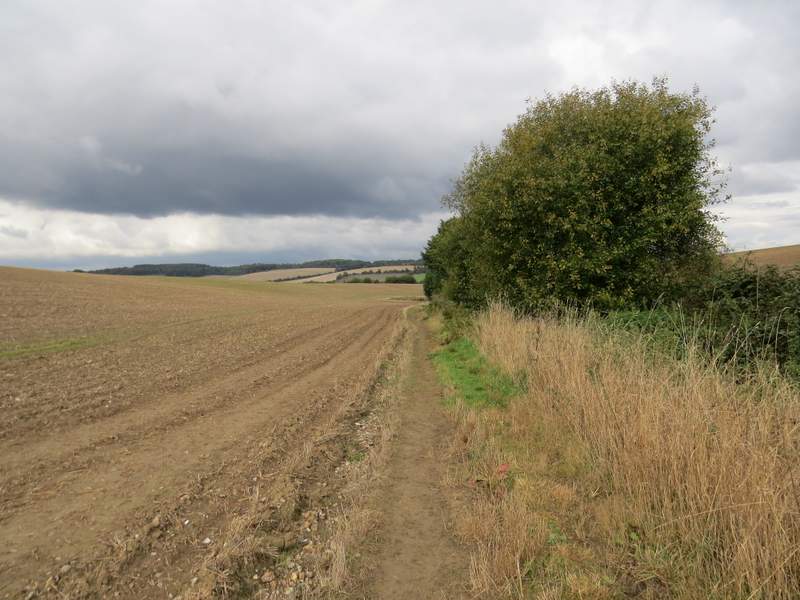
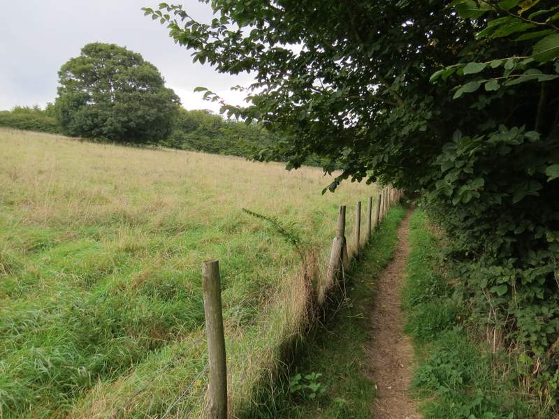
The path continuing north after crossing the minor road
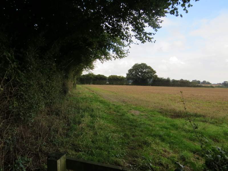
The path continuing north after crossing the minor road - it turns right in the field corner, then turns left (just out of shot on the right)
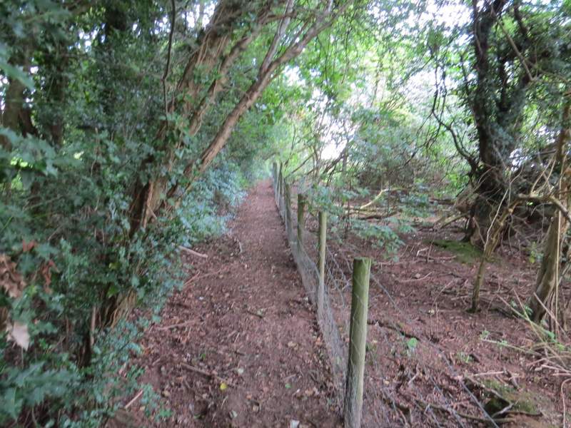
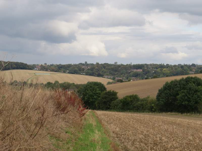
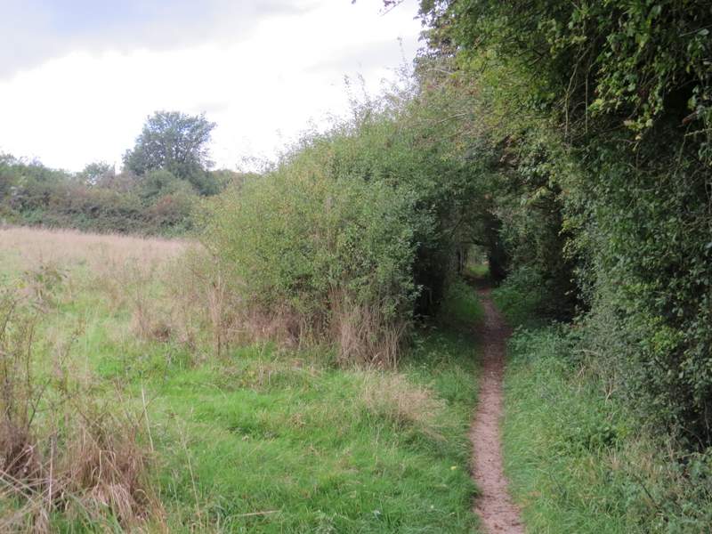
The path going north from Bowers Farm
The path going north from Bowers Farm
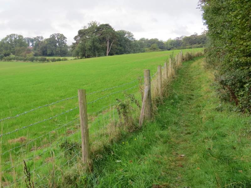
The path going north from Bowers Farm
At the end of the path, I went straight on along a minor road, soon passing Coleshill cricket ground on my right. When the road turned right I took a footpath on the left. When this reached a field, the OS map shows the path going half-left across it, but the waymarks showed I had to go a little further along the hedge on the right (until it turned slightly right) and then cross the field to a small embankment (passing a telegraph pole with a white arrow on it). I then followed the bottom of the embankment to its end, before turning sharply right to return the hedgerow and turning left alongside it once more. It was then quite a long gradual descent towards Amersham, with pleasant views ahead.
The short road section past Coleshill cricket ground (on the right)
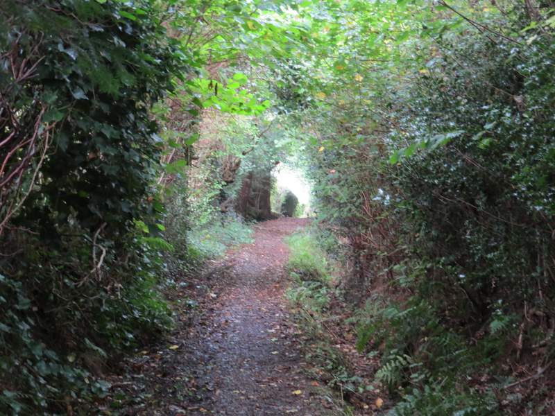
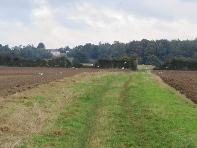
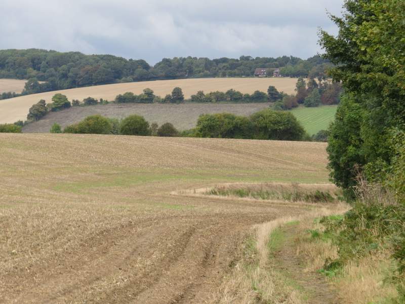
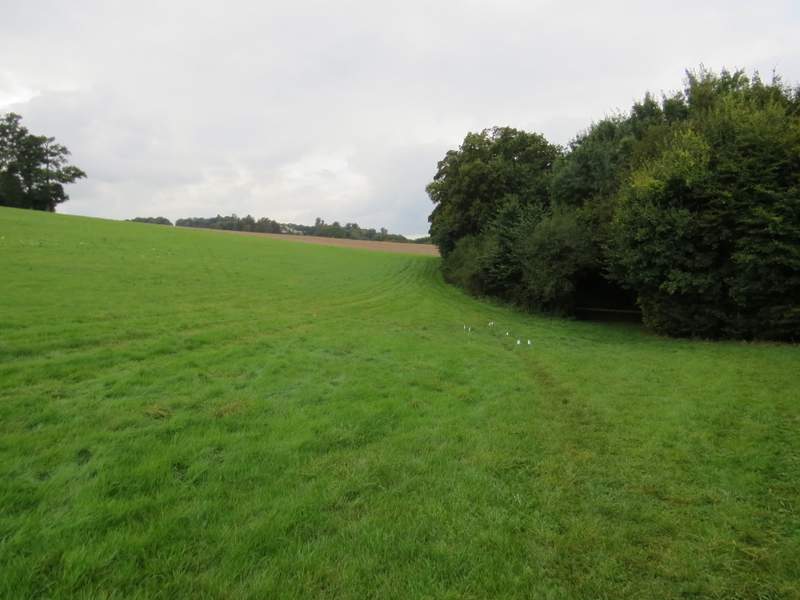
Near the start of the path to Amersham Old Town
The path to Amersham Old Town - the OS map shows it going half-left across the field from this point, but the waymarks indicate it goes half-left where the hedge turns right, and passes the telegraph pole (which has a white arrow)
The path, where it runs along the small embankment, looking towards Amersham
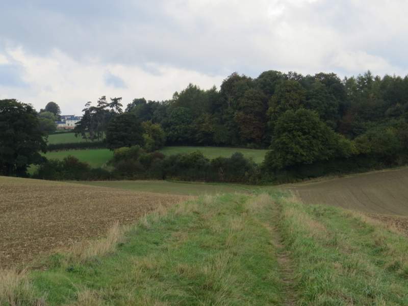
The path to Amersham Old Town, now back alongside the hedgerow
The path to Amersham Old Town
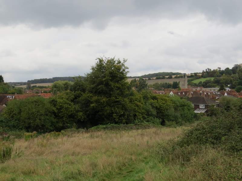
At the end of this path (for the last hundred yards or so it ran along garden fences on my right) I turned left along a surfaced footpath that soon took me over a footbridge across the A413 (I would go on to cross this road another three times, but without the benefit of a bridge). At a path junction I turned left for a short way, before entering the field of rough grass on my left. A clear path continued, almost immediately going half-right down a slight slope to end at a gate in a corner. Here I turned left along a short street in Amersham Old Town, and at its end I turned left along Whielden Street.
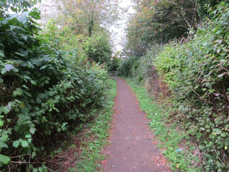
The footpath to the bridge over the A413
The path into Amersham Old Town
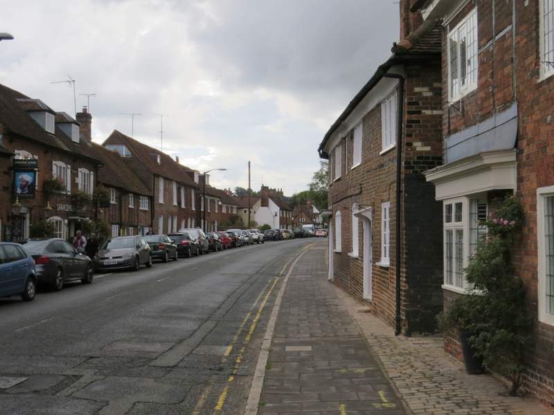
Whielden Street, Amersham Old Town
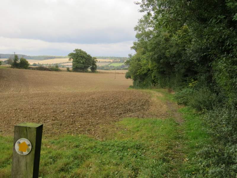
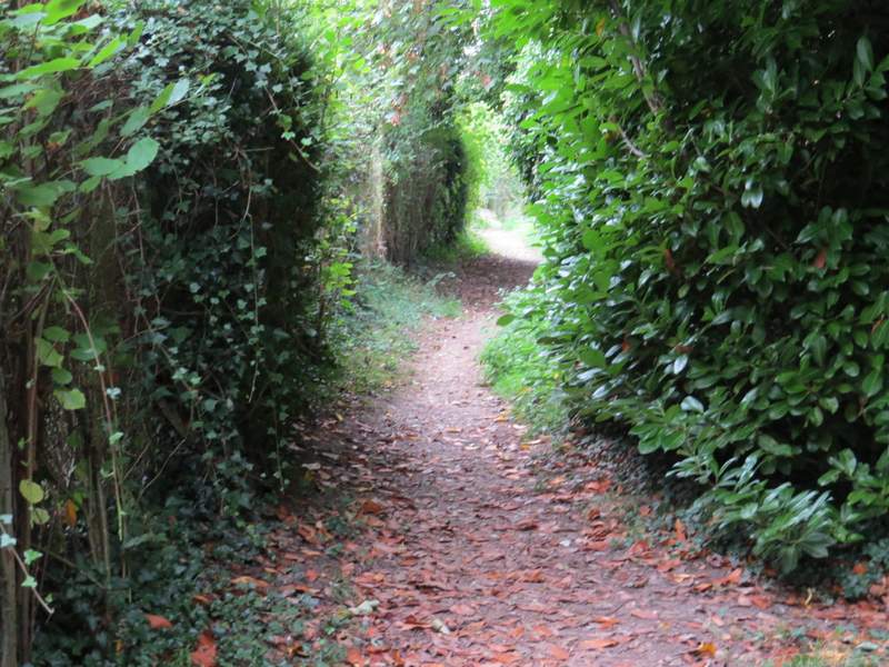
It was only a short distance before I turned right onto a footpath, which started along a drive between a few residences (all quite old, like those in Whielden Street). The path then continued between fences and hedges, crossing a lane at one point, before running along the edge of a small plantation and going up some steps to reach the A413 main road. After carefully crossing the road, I went over a stile and took a path going right. This went through part of a large grassy area with a few horse jumps in it, then crossed a large ploughed field to reach the start of the main drive to Shardeloes (a large white house, out of sight at the top of the hill to my left).
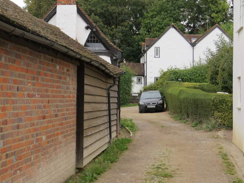
Near the start of the path going east (or ENE) from Whielden Street
The path from Whielden Street
The path from Whielden Street
The path from Whielden Street
The path after I crossed the A413
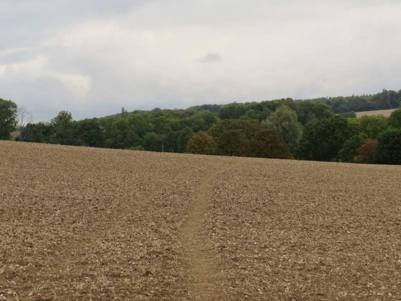
The path after I crossed the A413, heading for the entrance gates to Shardeloes