Pete's Walks- Circular walk from Ewelme (page 3 of 5)
If you are considering walking this route yourself, please see my disclaimer. You may also like to see these notes about the maps and GPX files.
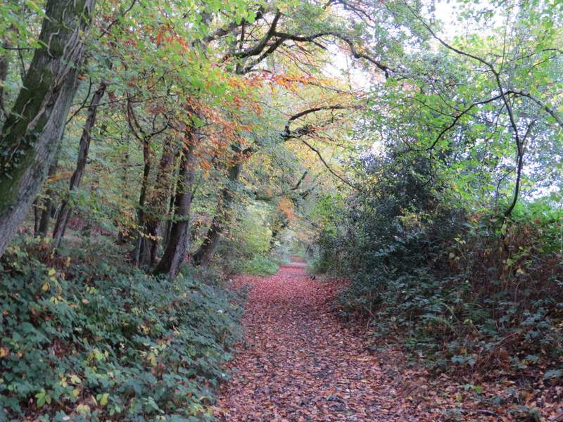
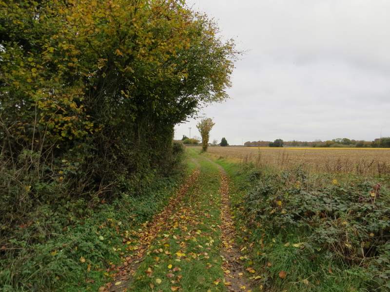
The byway continued on between hedgerows on either side for some distance, before dropping downhill through a wood into a valley named Oakingham Bottom, joining a drive as it did so. At the bottom of the valley, I turned left onto another byway, named English Lane. I followed this byway northeast for about three-quarters of a mile to reach English Farm, where I took a footpath going right.
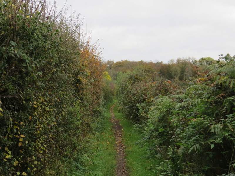
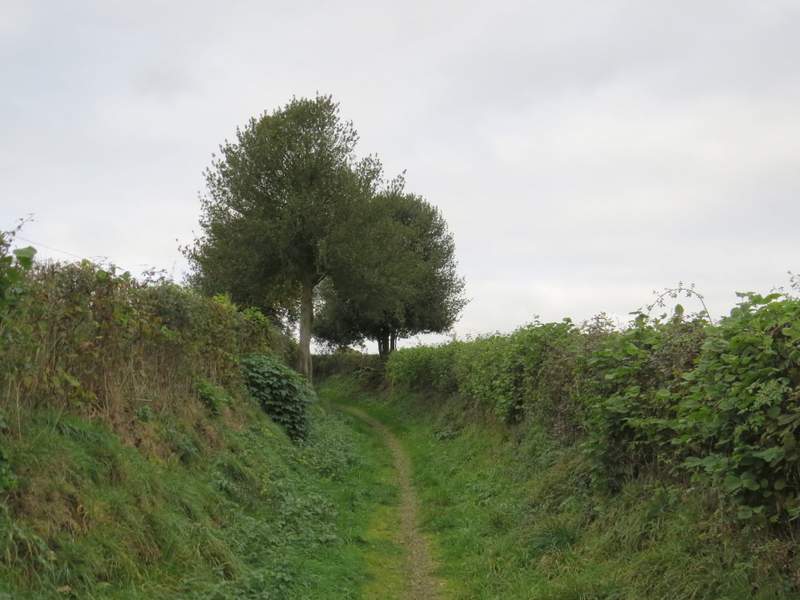
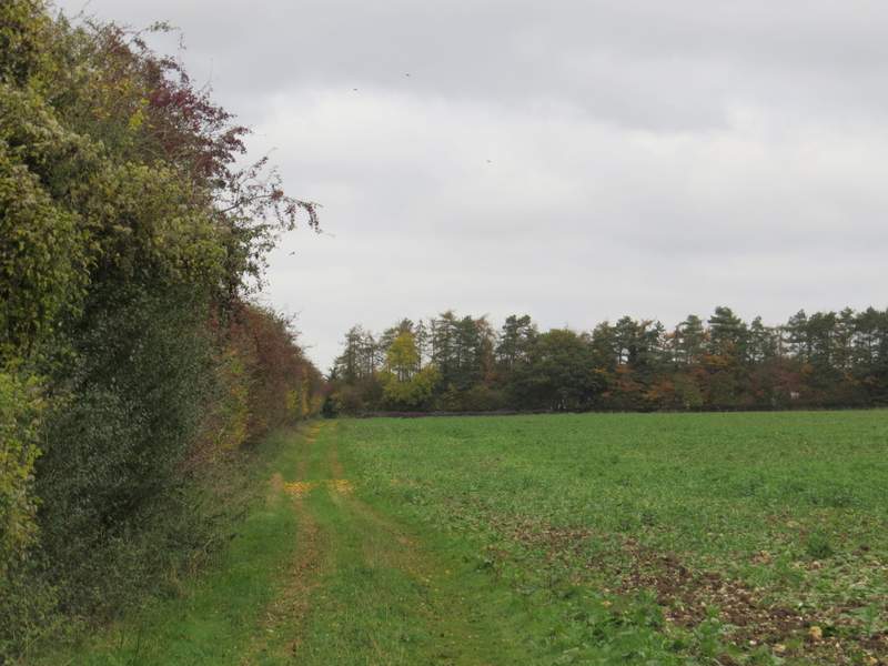
The byway going southeast from Oakingham House
The byway going southeast from Oakingham House
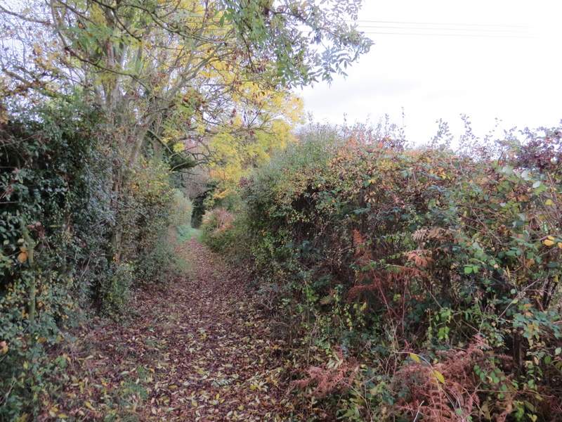
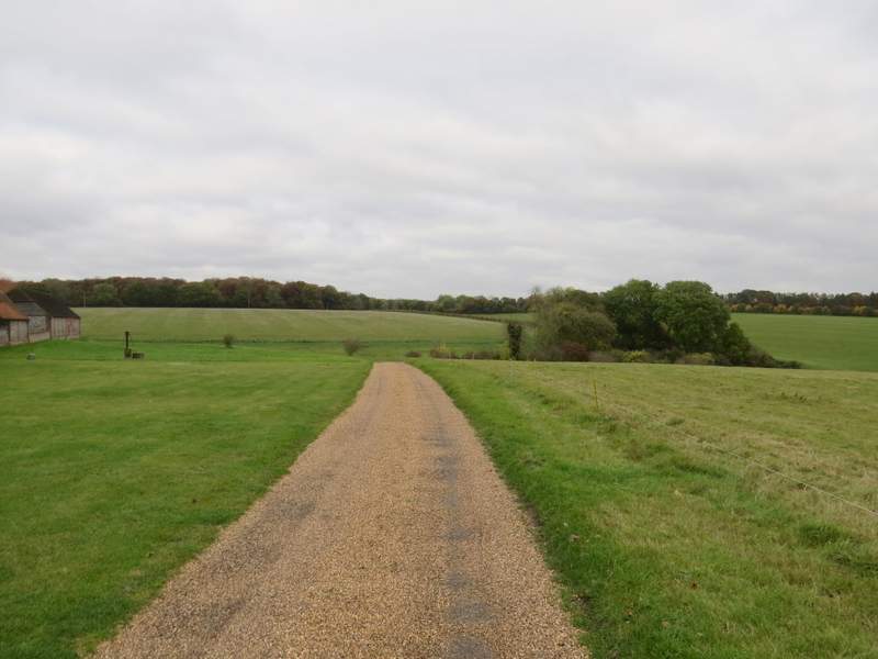
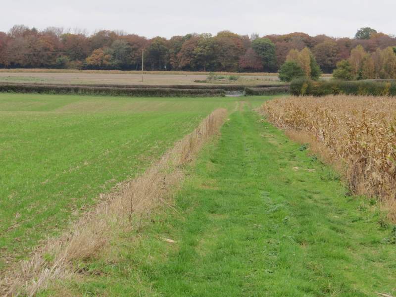
English Lane
English Lane
English Lane
The footpath quickly joined a gravel drive running to the right of English Farm and its outbuildings. In a slight dip the path turned right onto a track. I ignored the first path branching left, and then took the second path on the left, which followed a hedge on my left through a large field. In the field corner, I came to a complicated junction of paths and bridleways, where I more or less went straight on along a track heading towards Hayden Farm. Beyond the farm, on my left, the bridleway continued along the farm road to reach the A4130 (which I'd crossed earlier near Oakley Wood).
The drive at the side of English Farm
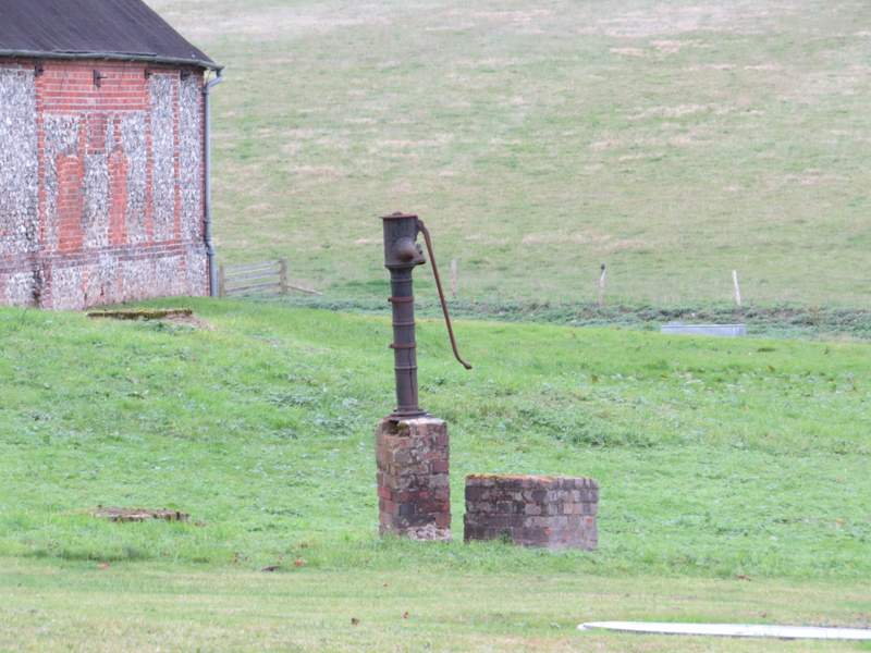
Old pump at English Farm
The path gong right from the drive at English Farm
The next path, after I turned left
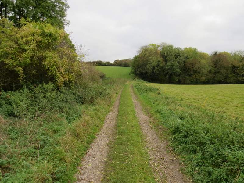
The track heading towards Hayden Farm
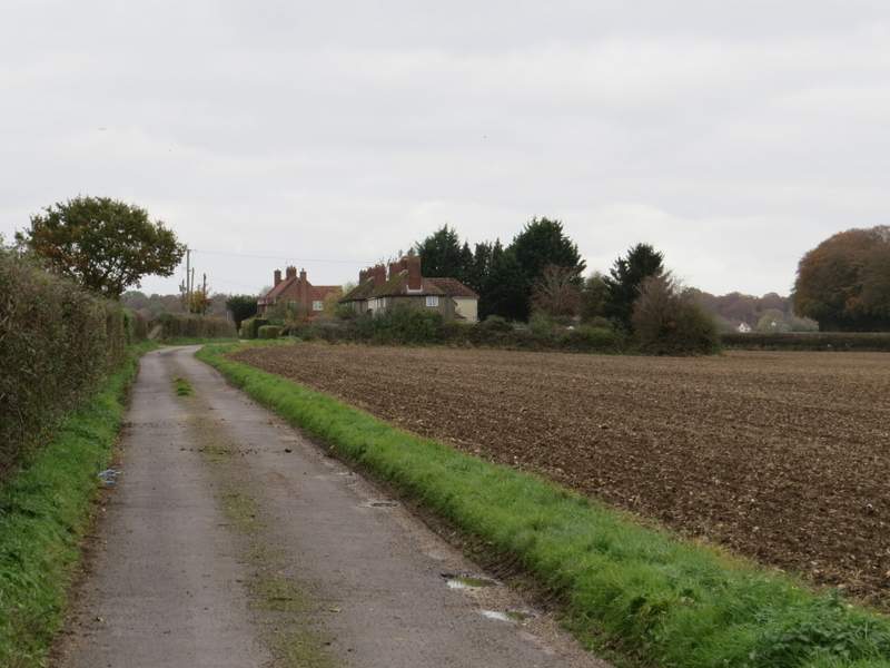
The drive from Hayden Farm
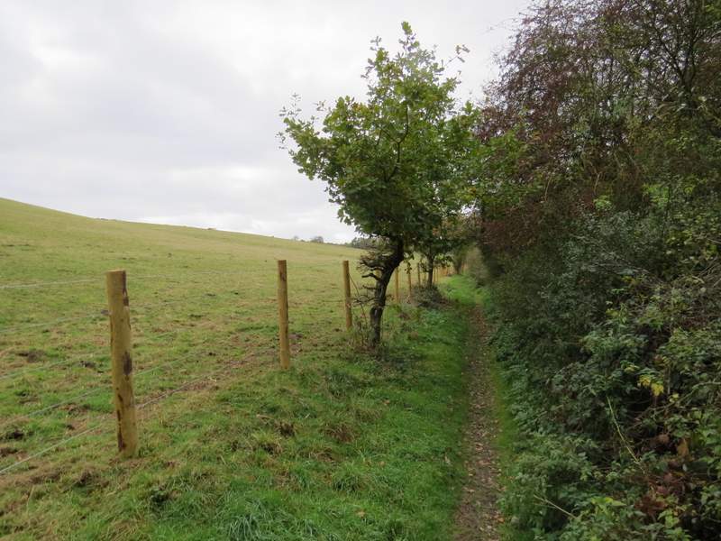
I crossed the main road and continued along a footpath that ran along a headland between arable fields for almost half a mile. Eventually I reached the far side, where I turned left along Huntercombe End Lane
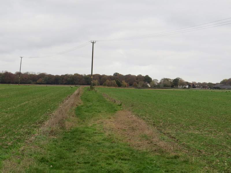
The path from the road to Huntercombe End Lane
The path from the road approaching Huntercombe End Lane
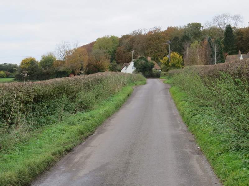
Huntercombe End Lane