Pete's Walks- Circular walk from Ewelme (page 5 of 5)
If you are considering walking this route yourself, please see my disclaimer. You may also like to see these notes about the maps and GPX files.
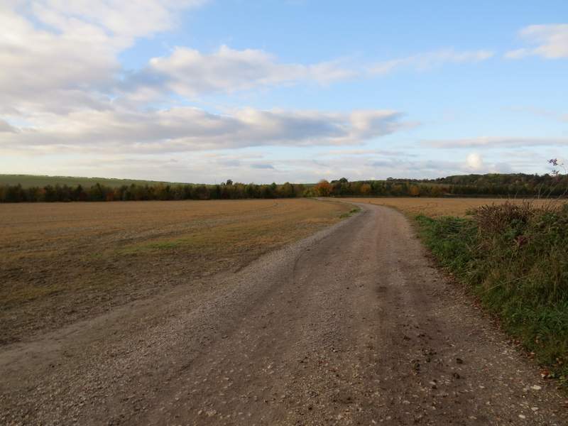
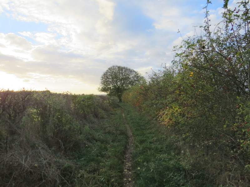
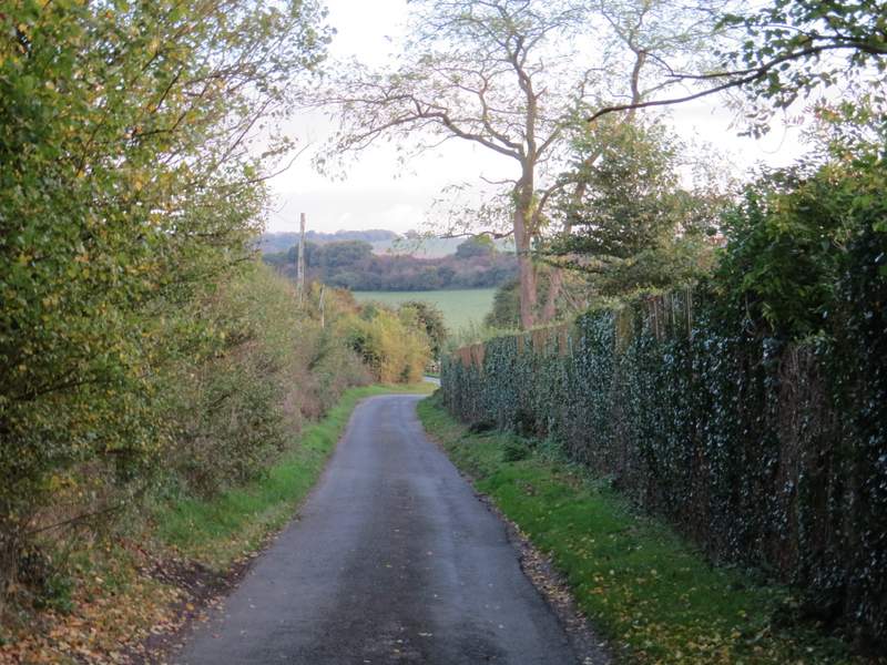
I turned right, following a bridleway along a farm track with fields either side. The sun had come out now, and there was a glorious golden light. After half a mile or so I crossed a drive, and then there was a hedge on my left as I continued past the next field. The bridleway then switched to the left of the hedgerow, and carried on for several hundred yards to reach a lane. Here I turned right for a few yards, going straight on along a track when the lane turned right at the foot of the western end of Swyncombe Downs.
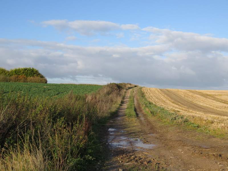
The bridleway after I turned right, heading towards the foot of Swyncombe Downs
The bridleway heading towards the foot of Swyncombe Downs
The bridleway heading towards the foot of Swyncombe Downs
The bridleway heading towards the foot of Swyncombe Downs
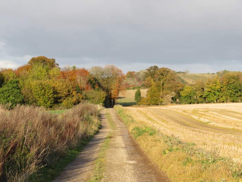
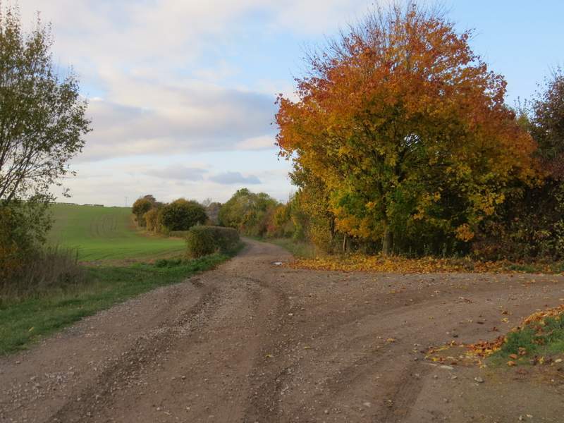
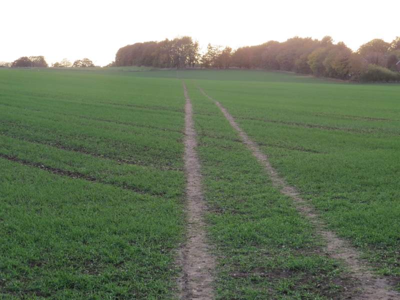
Just a few yards down the track I turned left onto another track, a restricted byway that headed northwest. I went straight on where another byway crossed, and then soon passed a property on the right (named Huntingland on the OS map). A little further on the byway turned slightly left to head westwards. After about another half mile I came to a junction where a footpath crossed the byway, where I turned left.
The byway going northwest from Swyncombe Downs
The byway going northwest from Swyncombe Downs (this is where another byway crosses it)
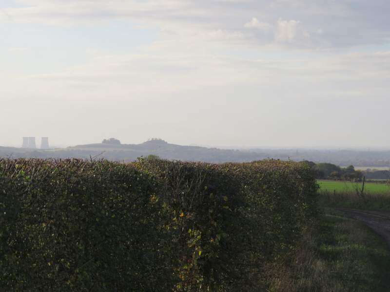
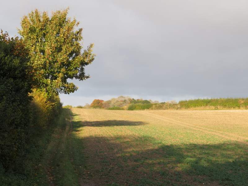
The byway from Swyncombe Downs, about to turn west from northwest - Didcot Power station and Wittenham Clumps on the skyline
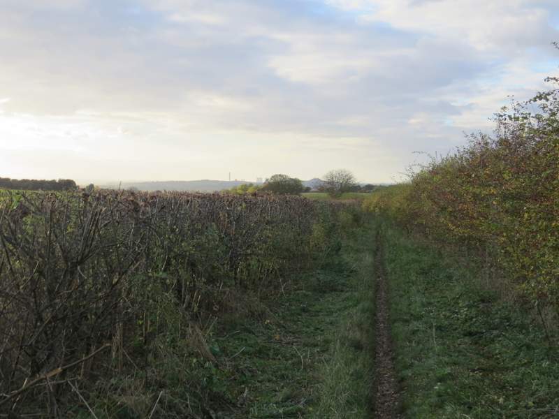
The byway from Swyncombe Downs - the sun was very low in the sky and making it difficult to take photos now
The byway from Swyncombe Downs
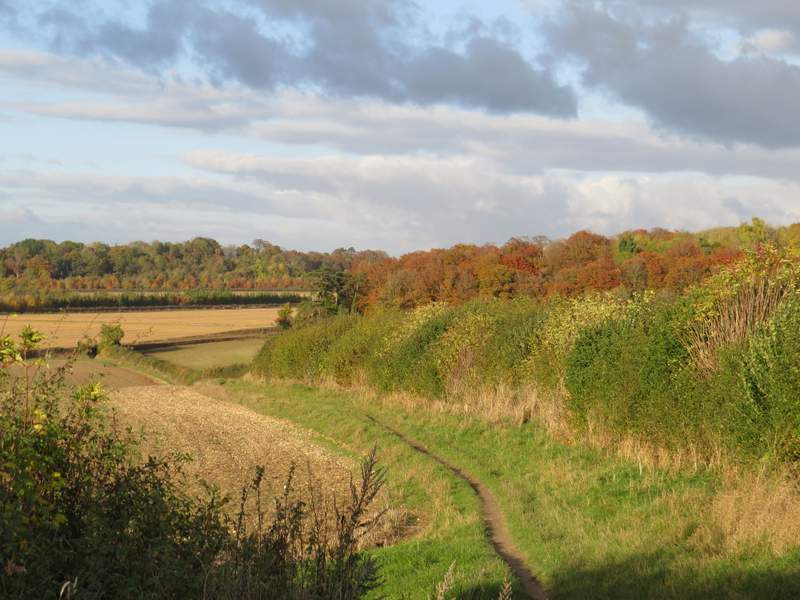
The path crossed a very large arable field, the route marked by tractor tracks. The path then continued between a fence and a few trees before reaching a driveway and a lane in Ewelme, almost opposite the church. I turned left and followed the lane to its end at a junction of lanes - across this junction was the car park where I'd started.
The path back to Ewelme
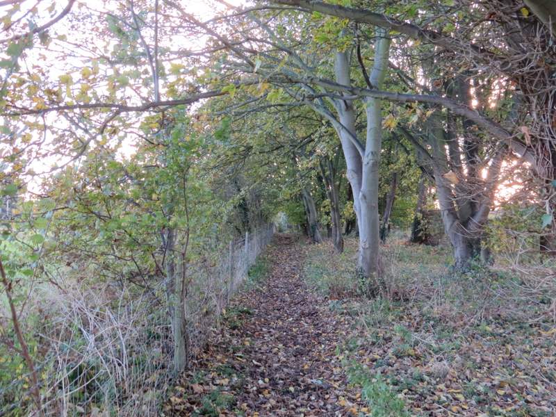
The path back to Ewelme
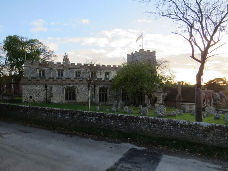
Ewelme church
Parson's Lane - the car park I used at the sports field is opposite the end of the lane
This was a pleasant walk, though not one of the better ones I've done (I did it originally just to try out some paths I'd not walked before). The initial section from Ewelme to Woodhouse Farm is one of my least favourite sections of the Chiltern Way (there's nothing nasty about it, I just don't think it's too interesting), but the byway from Woodhouse Farm through Mongewell Woods was more interesting. Thereafter the route was surprisingly flat, until I descended from near Ewelme Park. It was surprising that I could walk 15-miles with just one real up and one long downhill, and also rather unusual in that I didn't pass through any villages (other than Ewelme) in that distance. The lack of hills explains why this route took me about 45-minutes less to walk than the similar length walk I did last week, which had seven or eight sections of uphill and downhill.