Pete's Walks- Pitstone Hill and Wigginton (page 4 of 4)
If you are considering walking this route yourself, please see my disclaimer. You may also like to see these notes about the maps and GPX files.
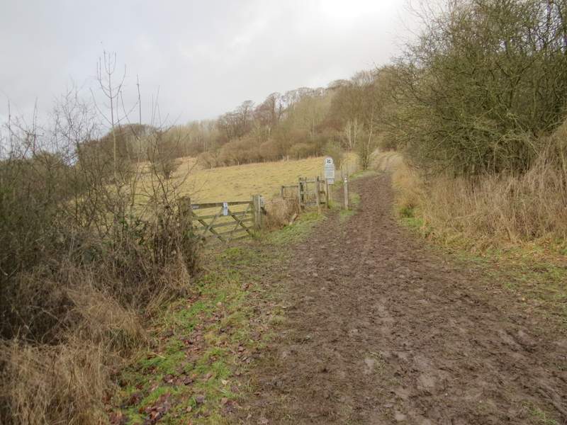
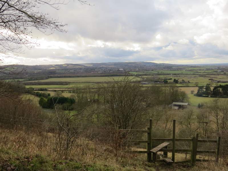
As I left the hamlet the road crossed a bridge over the railway lane. I went straight on at a junction where a road came in on the left - I crossed over before reaching the junction, to use the wider verge on the right, but a little further on crossed back over and went up a tarmac drive on the left of the road (still following the signs for the Ridgeway). On reaching a bridleway crossroads, I turned left along a track with old hedges or trees one either side. After about a quarter of a mile (this seemed to go quicker than usual, somehow), I turned slightly right on a path that went through the Aldbury Nowers nature reserve
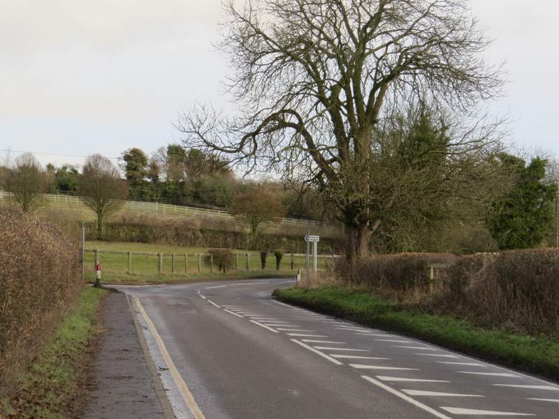
The road from Tring Station
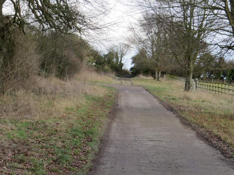
The drive after I turned left
The bridleway after I turned left, heading towards Aldbury Nowers
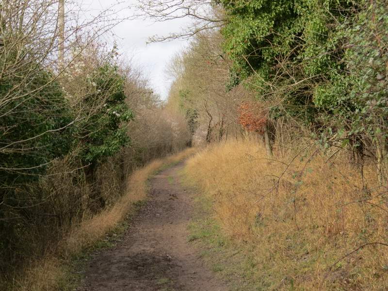
The bridleway after I turned left, heading towards Aldbury Nowers
The bridleway after I turned left, approaching Aldbury Nowers
The path through the Aldbury Nowers nature reserve
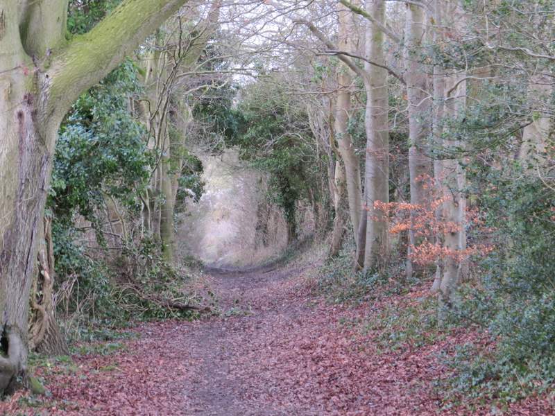
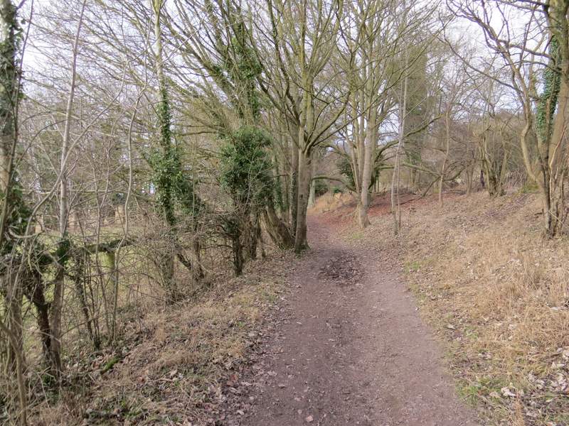
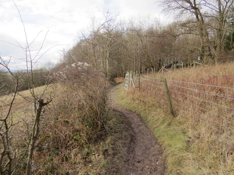
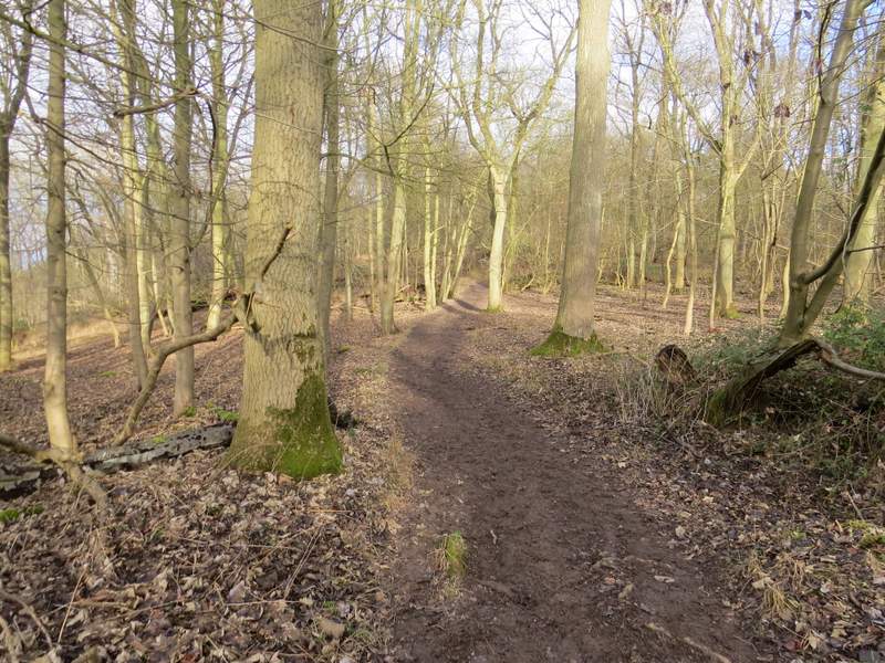
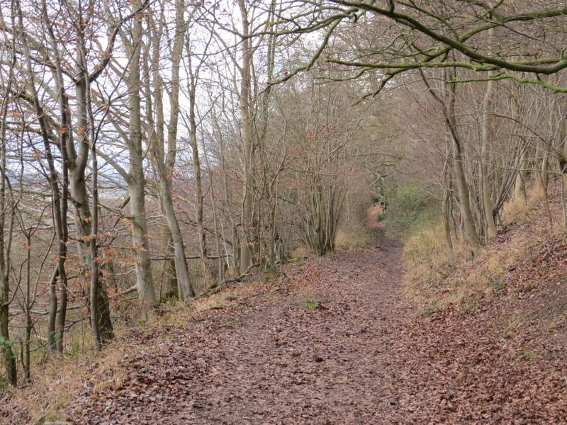
Just after the path entered some trees, I stayed on the Ridgeway as it turned left and went up some 'steps', bearing slightly left near the top of them, and briefly running between fences either side as it passed through another bit of the nature reserve. The path then ran through the woods of Aldbury Nowers for about half a mile (I must admit I don't know whether Aldbury Nowers is the name of the hill or the wood)
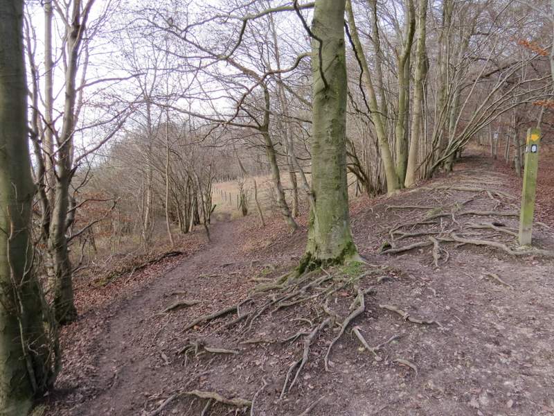
The path after I turned left, where it goes left at the stop of some 'steps'
The path continuing past part of Aldbury Nowers nature reserve
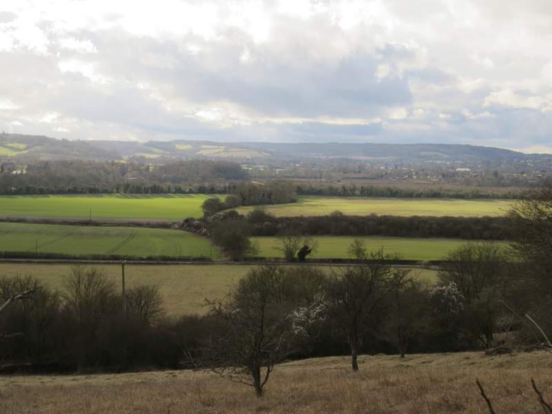
View left - Aston Hill is on the far right
Aldbury Nowers
Aldbury Nowers
Aldbury Nowers
Another view left towards Aston Hill
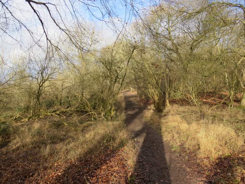
Aldbury Nowers, shortly before the path reaches Pitstone Hill
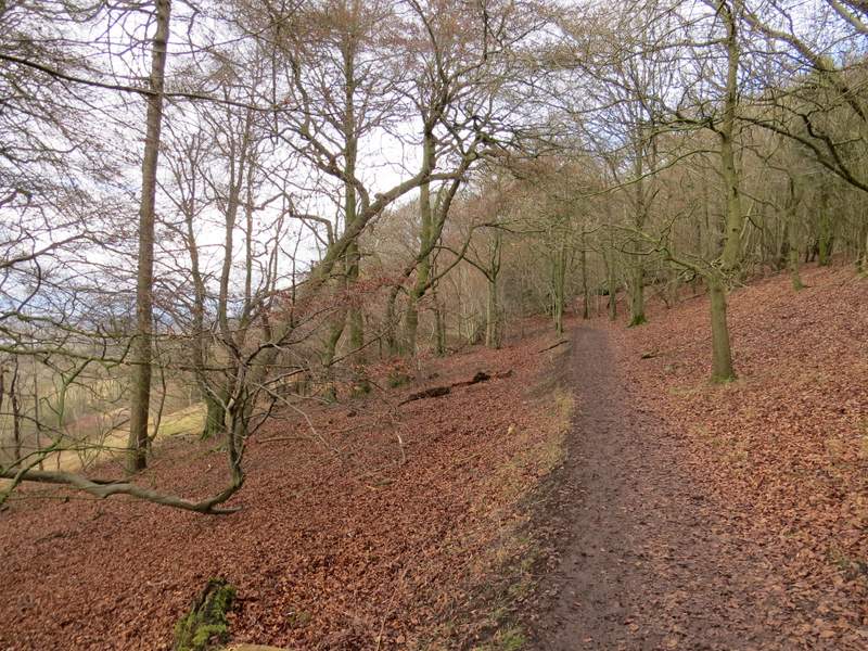
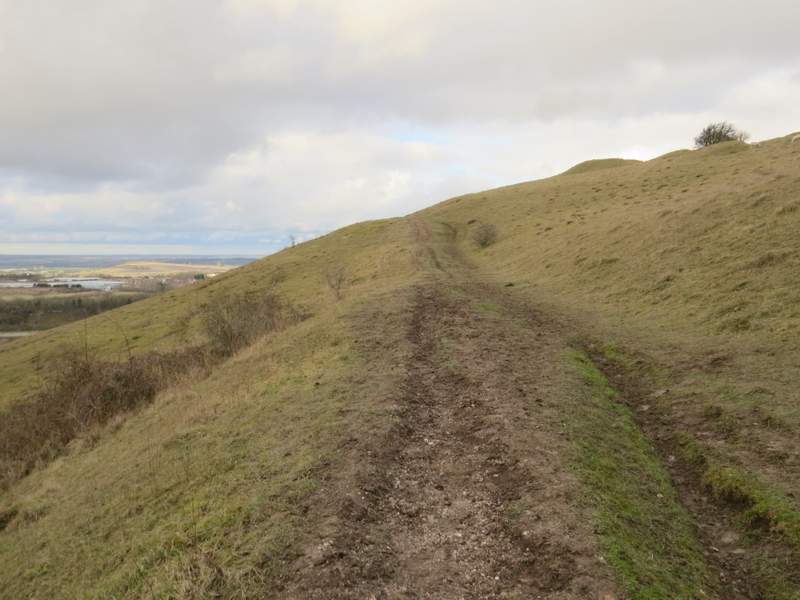
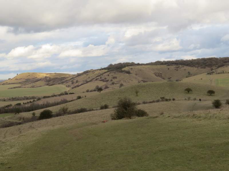
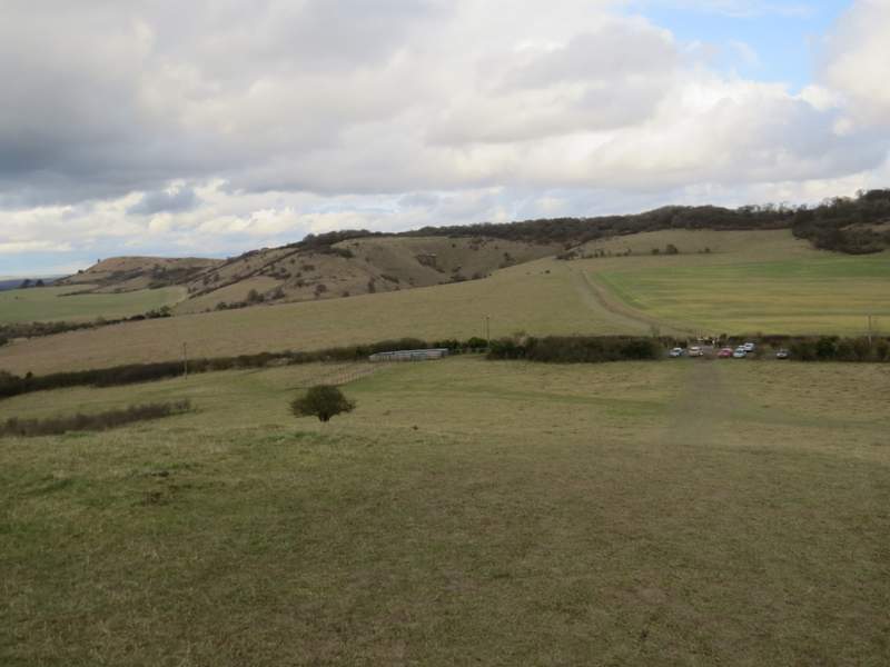
On leaving the wood, the path continued fairly gently up the grassy western flank of Pitstone Hill, following the line of an ancient earthwork called Grim's Ditch. At the top of the hill the path (actually now a bridleway, according to the OS map) turned half right and very gradually descended the other side of Pitstone Hill, with a fine view ahead to Steps Hill and Ivinghoe Beacon (which I've just noticed is named Beacon Hill on the OS map - I live fairly locally and have never heard it called that, and anything I've ever read about the Ridgeway national trail says it starts or finishes at Ivinghoe Beacon). I then finally diverted slightly from the Ridgeway to go up and over a small 'hillock', to reach the car park where I'd started.
The path following the remains of Grim's Ditch up Pitstone Hill
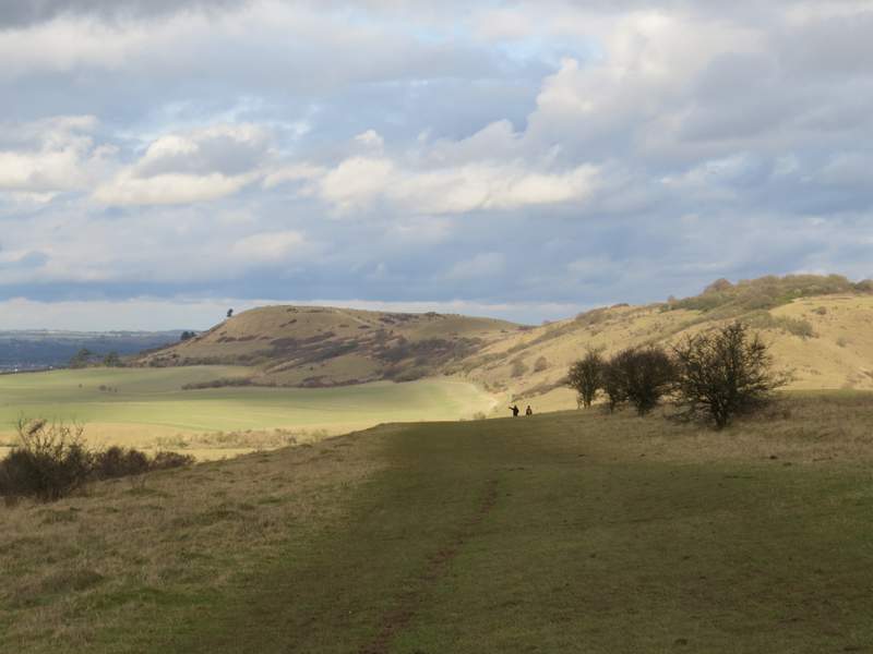
Ivinghoe Beacon and Steps Hill, from the path down Pitstone Hill
Ivinghoe Beacon and Steps Hill, from the path down Pitstone Hill - the 'hillock' is behind the crossing hedgerow
The view towards Ivinghoe Beacon and Steps Hill, from the 'hillock 'by the Pitstone Hill car park
Somehow the walk took me only three hours and 50 minutes, whereas it's sometimes taken me up to half an hour longer than that. I wasn't consciously walking faster (and certainly didn't feel fitter than usual), and the ground was quite muddy in places which usually slows me down.
I enjoyed the walk a lot, more than I'd expected to really because I'd thought I might be a bit over-familiar with it as I've done it so many times before. It's a good mix of chalk downland, woods and fields, with enough sections of uphill and downhill to keep it interesting. There are lots of good views too, especially near the start and the end of the route. I definitely prefer walking it in this clockwise direction now, as most of the uphill then comes near the start of the walk rather than the end.