Pete's Walks- Redland End and Coombe Hill (page 4 of 5)
If you are considering walking this route yourself, please see my disclaimer. You may also like to see these notes about the maps and GPX files.
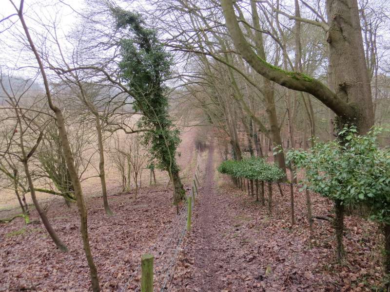
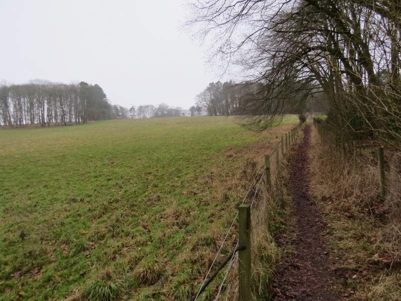
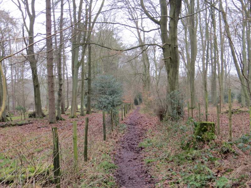
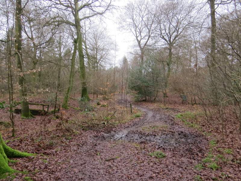
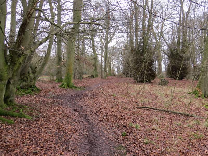
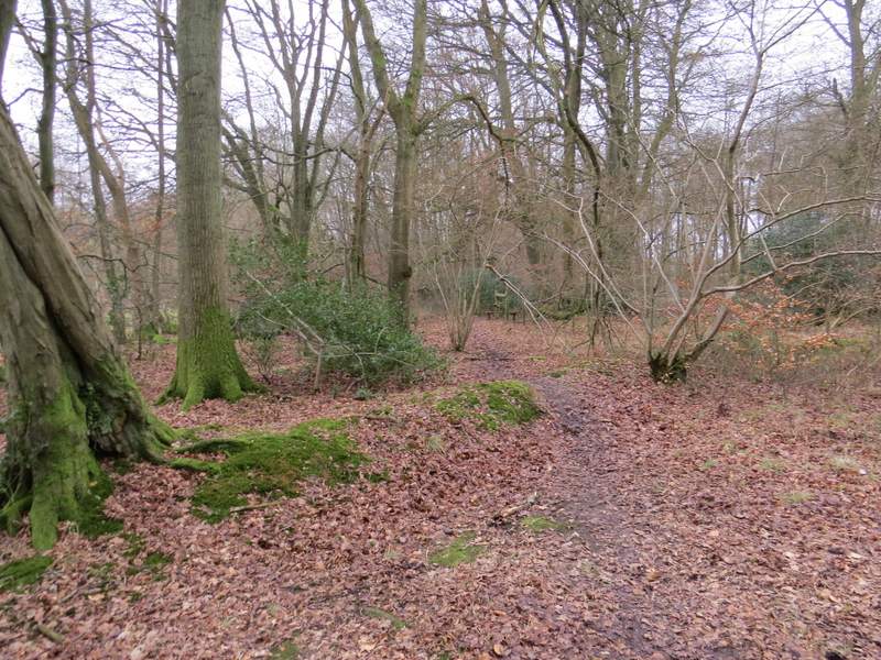
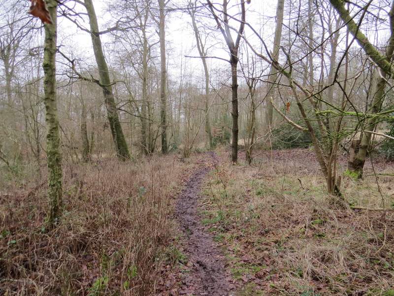
At the gate the bridleway turned right (a footpath went straight on), running a short distance with overhanging hedges either side. It descended slightly, then rose gradually uphill between fences, before running through a wood for about a third of a mile. On reaching a crossing bridleway, I went straight on along a footpath, now in a wood called High Scrubs. Where the footpath appeared to turn left, it actually went straight on a few yards (a yellow arrow on a beech tree pointing the way was obscured by holly, I'd have missed the turning if I'd not been here before) then went left. I then soon came to a waymarked path junction, where I turned right and soon reached a lane (the Coombe Hill car park was about half a mile to the right).
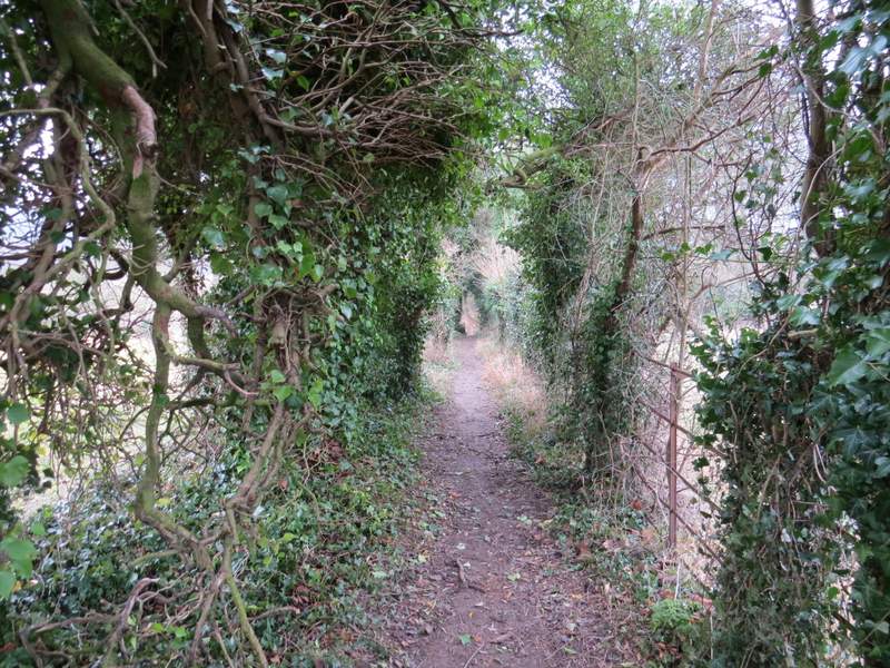
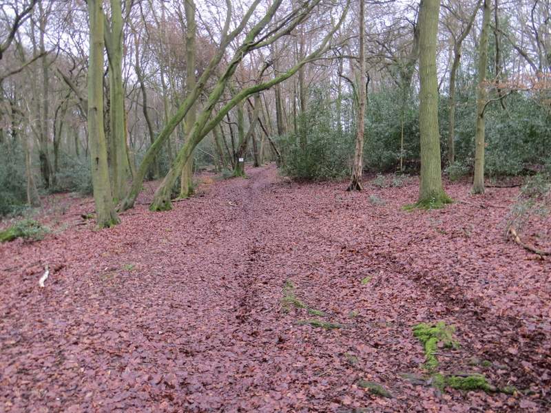
The bridleway from Bacombe, immediately after it turns right
The bridleway from Bacombe
The bridleway from Bacombe
The bridleway from Bacombe
The bridleway from Bacombe
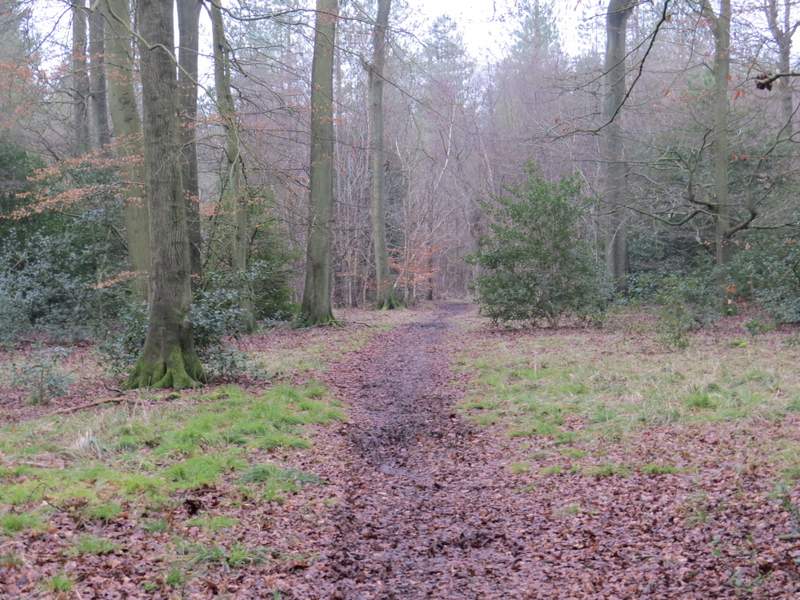
The path through High Scrubs
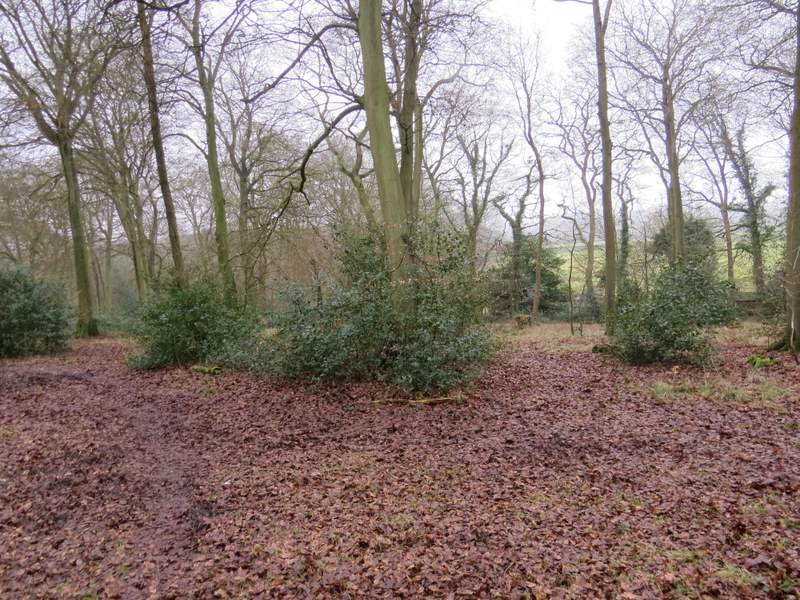
The path through High Scrubs - it goes right of the tree in the centre, the holly is obscuring a yellow arrow
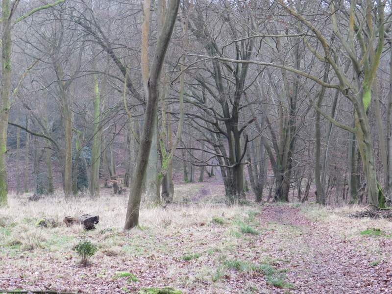
The path through High Scrubs, after I turned right at a waymarked junction
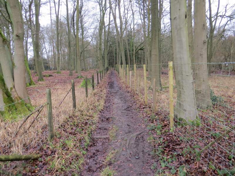
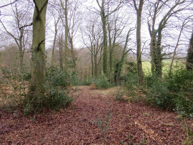
I turned left, then after about a hundred yards took a path on the right that went through Fugsdon Wood. After two or three hundred yards, with a field to my right, I had to be careful to fork very slightly left, where there was a stile and a waymark, rather than continue on a clearer path ahead (not shown on the OS map). The path continued through the wood, and after a while dropped gently downhill to a five-way junction of paths and bridleways, about half a mile from the lane. Here I went straight on through Chisley Wood for almost another half mile. Eventually this path met a bridleway, where I went a few very muddy paces to the left to reach the end of an old lane (the one through Buckmoorend, where I'd been earlier).
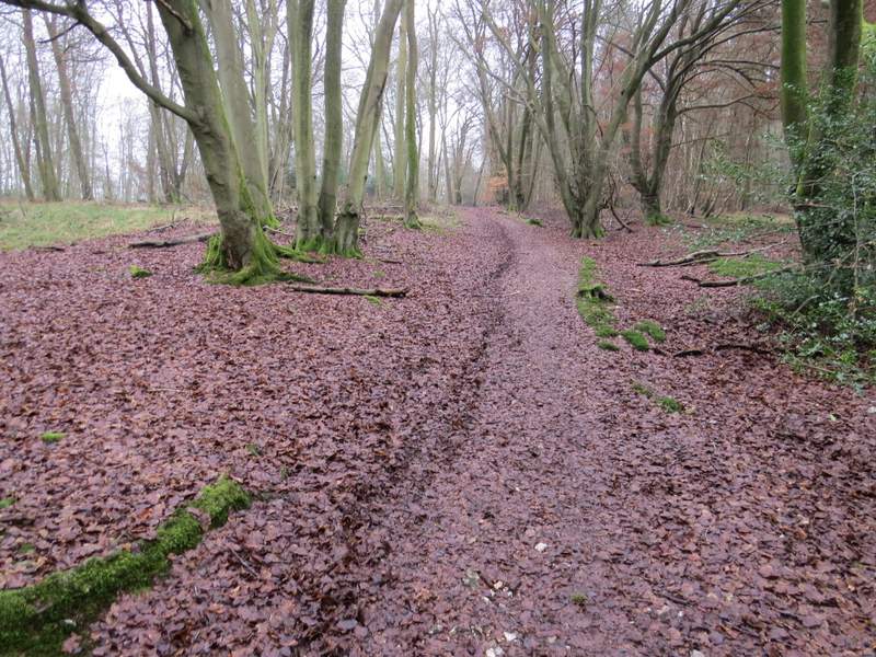
Near the start of the path through Fugsdon Wood
The path through Fugsdon Wood
The path through Fugsdon Wood, descending to the five-way junction
The path continuing to Chisley Wood
The path through Chisley Wood
I turned right along the old lane for a few yards then took a footpath on the left. I was now in Hengrove Wood, and the path was soon dropping downhill. I kept left at a waymarked path junction, then near the bottom of the slope went left again where another path (not a public footpath, and not shown on the OS map) came in from the right. The footpath now almost immediately turned right and after another one or two hundred yards I came to another path junction, where I turned left.
The start of the path from the old lane, heading into Hengrove Wood
The path from the old lane, heading through Hengrove Wood