Pete's Walks- Maidensgrove Common, Ibstone, Middle Assendon (page 7 of 7)
If you are considering walking this route yourself, please see my disclaimer. You may also like to see these notes about the maps and GPX files.
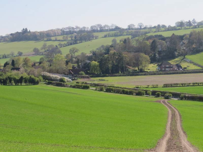
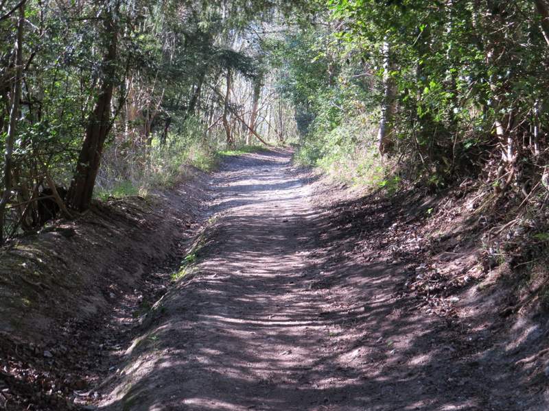
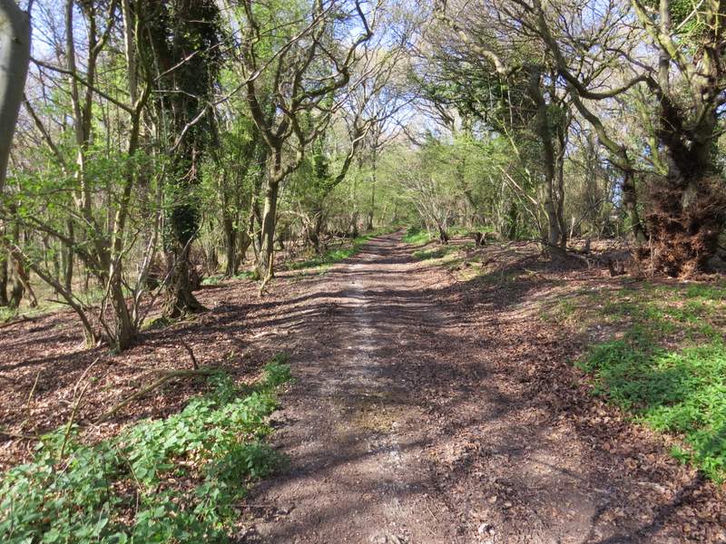
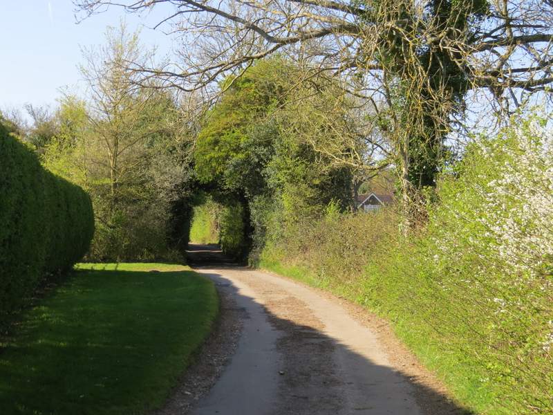
The path soon turned left in Paradise Wood, staying quite close to the field I'd just been in. This is one of those paths that hardly seem downhill at all in this direction, but are definitely uphill when you are coming the other way! Beyond the wood, I continued along a track that headed downhill across another arable field to reach a minor road just outside Middle Assendon. I turned right along the road, heading away from the village, and followed it for just over a quarter of a mile until a byway (named Warmscombe Lane) started on the left.
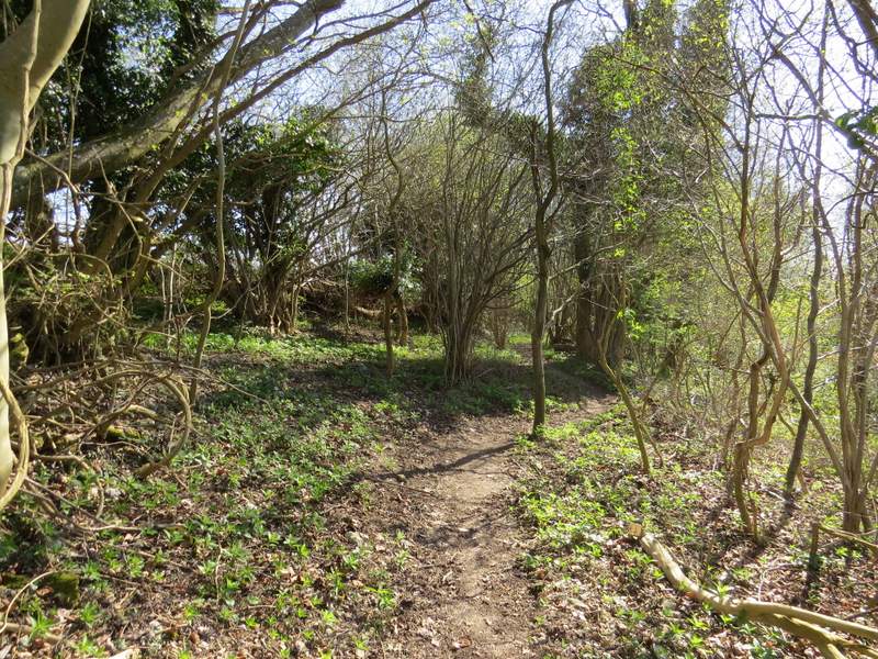
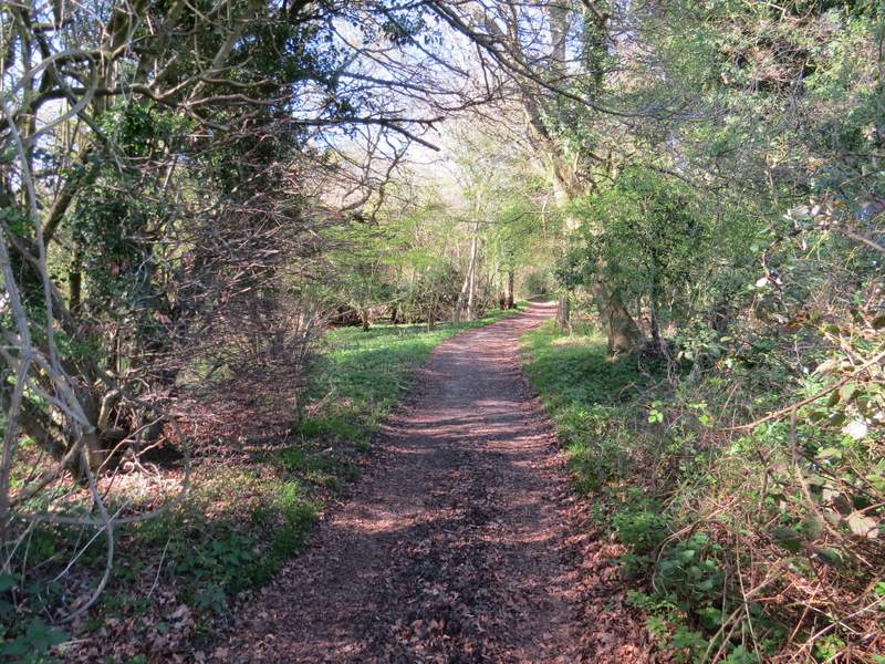
Paradise Wood
Paradise Wood
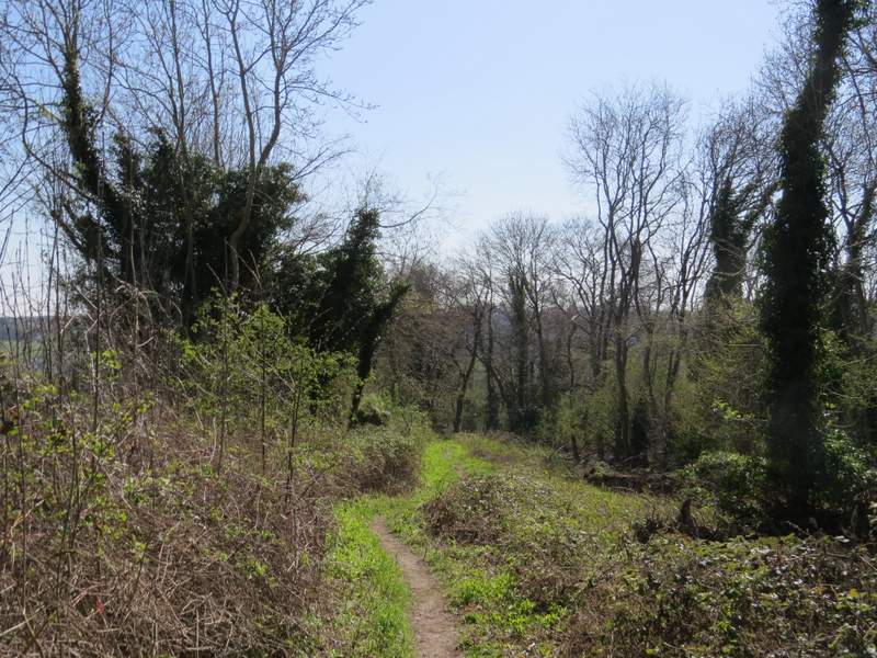
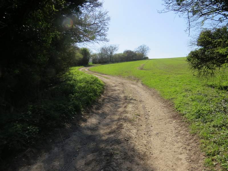
The path continuing from Paradise Wood, towards Middle Assendon
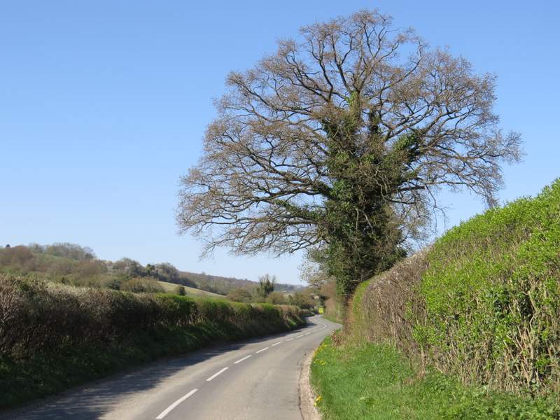
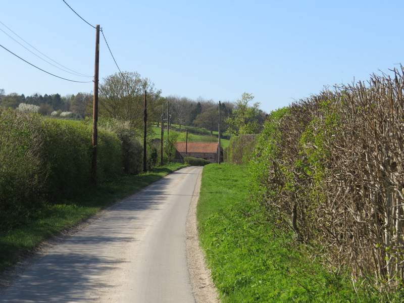
The road going north from Middle Assendon
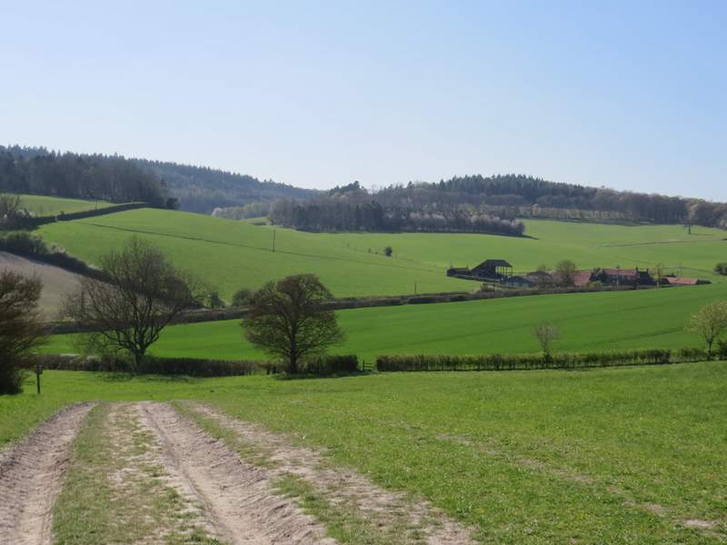
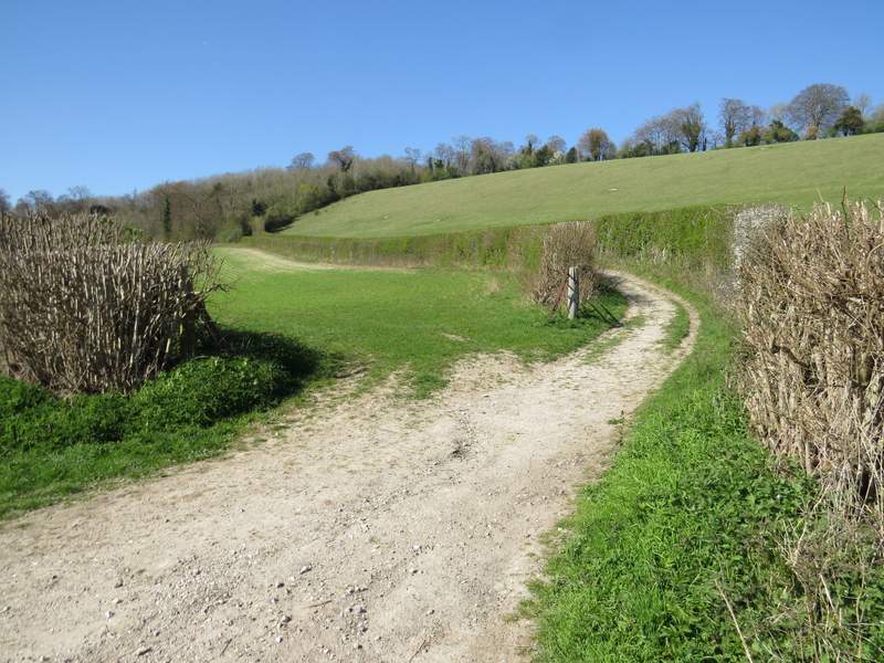
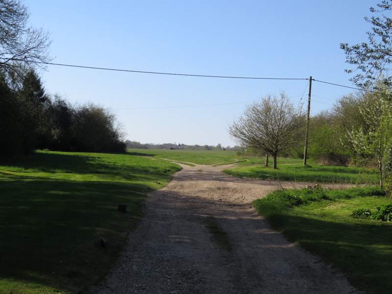
Just a few yards along the byway I came to a fork, where I turned left onto a footpath along a track that followed the left edge of another arable field (I could have shortened the walk slightly by keeping right, along Warmscombe Lane). This was uphill but not very steep and not very far. At the top of the slope the track crossed a corner of the field, and when it met the hedgerow again, the footpath left the track and went right, across an area of grass to a stile in a hedgerow. The path turned left over the stile and followed the hedge downhill, before rejoining the track just as it reached a lane. I turned right and followed the lane through part of the valley of Bix Bottom, passing Valley Farm after about a quarter mile and then the ruins of St James's church after another quarter of a mile.
The start of the path branching left from Warmscombe Lane
The path continuing down into Bix Bottom (the footpath crosses the grass to the stile in the hedgerow, and turns left along the far side of the hedgerow)
The lane through Bix Bottom, approaching Valley Farm (Valley End Farm on the OS map)
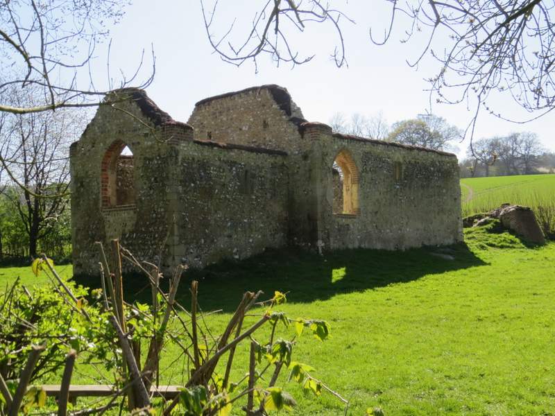
The ruins of St James's church, Bix Bottom
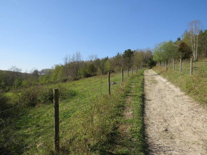
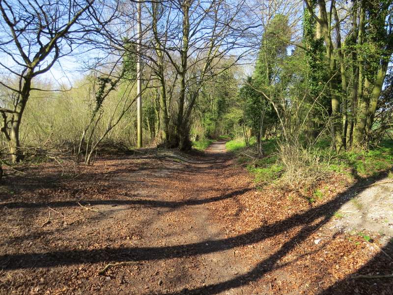
A few yards further along the lane I turned right onto a bridleway that ran along a track between hedges and gradually rose uphill to reach Freedom Wood - actually there aren't very many trees here, most of the 'wood' is an open area of scrubland. Further on Warmscombe Lane came in sharply on my right - as I continued straight on I wasn't really sure if I was still on the bridleway or if I was on the byway, the OS map is a little hard to read here. Anyway, after another third of a mile with the woods of the Warburg nature reserve sloping down on my left, I reached a lane near Lodge Farm, Maidensgrove. I turned left along the lane and after a few hundred yards, when it turned right, I turned left along a track that soon brought me to Maidensgrove Common. I could have cut straight across the grass to reach my car, but as usual I followed the left edge of the common until I reached the lane that crosses this end of the common, then turned right to return to my car.
The start of the bridleway from Bix Bottom to Maidensgrove
The bridleway from Bix Bottom to Maidensgrove
The bridleway from Bix Bottom to Maidensgrove, passing through part of Warburg nature reserve
The bridleway from Bix Bottom to Maidensgrove (this was taken from the junction with Warmscombe Lane)
The bridleway from Bix Bottom to Maidensgrove
The bridleway from Bix Bottom to Maidensgrove
The lane through Maidensgrove
The short track leading to Maidensgrove Common
I still think this is the best 15-mile route I have found in the Chilterns, as it makes use of six or seven of my favourite paths and does them all in the direction that gives the best views. I was very tired at the end of the six hours that it took me (I know that's rather slow, but I did take 220 photographs, about 100 more than I would on most walks of this distance), but I was very happy. It had been a great walk - as I posted on Facebook afterwards, it had been nothing but sunshine and scenery all the way round!