Pete's Walks- Christmas Common, Russell's Water, Nuffield (page 7 of 7)
If you are considering walking this route yourself, please see my disclaimer. You may also like to see these notes about the maps and GPX files.
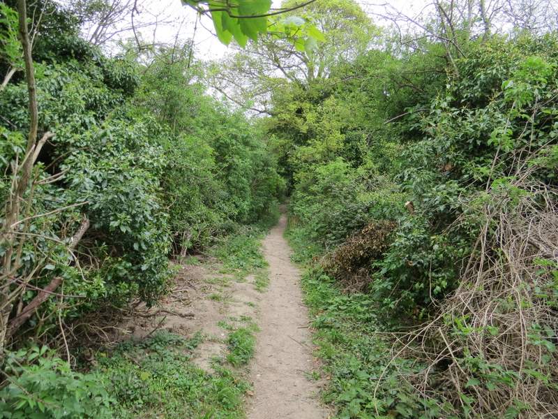
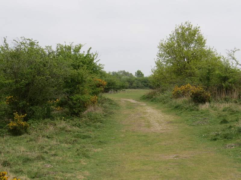
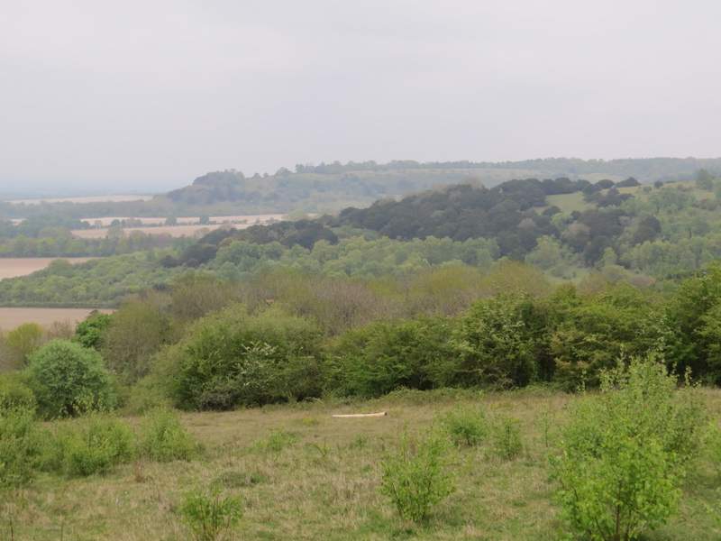
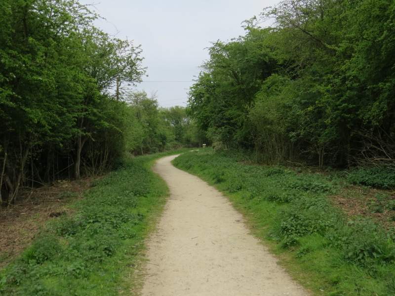
After over half a mile I reached a path junction (just before reaching a cottage) where I turned right. This soon became a narrow path through a narrow belt of trees or bushes with fields either side. At one point there was a view ahead to Watlington Hill. After about half a mile the path ended on a road, next to a property named Dumble Dore (nothing to do with Harry Potter, it's an old name for a Bumble Bee).
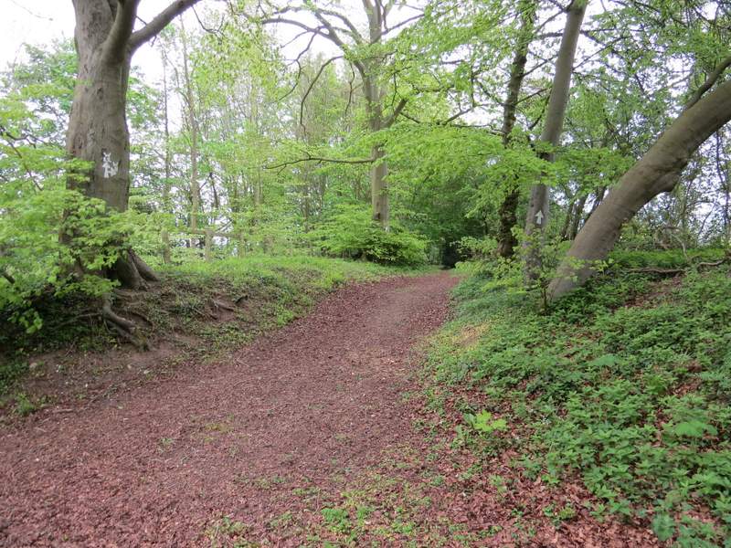
The start of the path to Dumble Dore
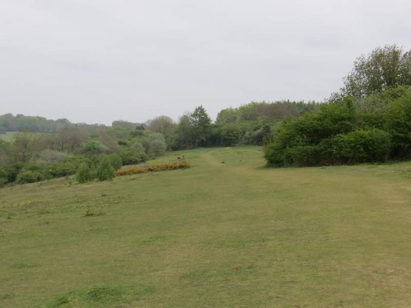
The path to Dumble Dore
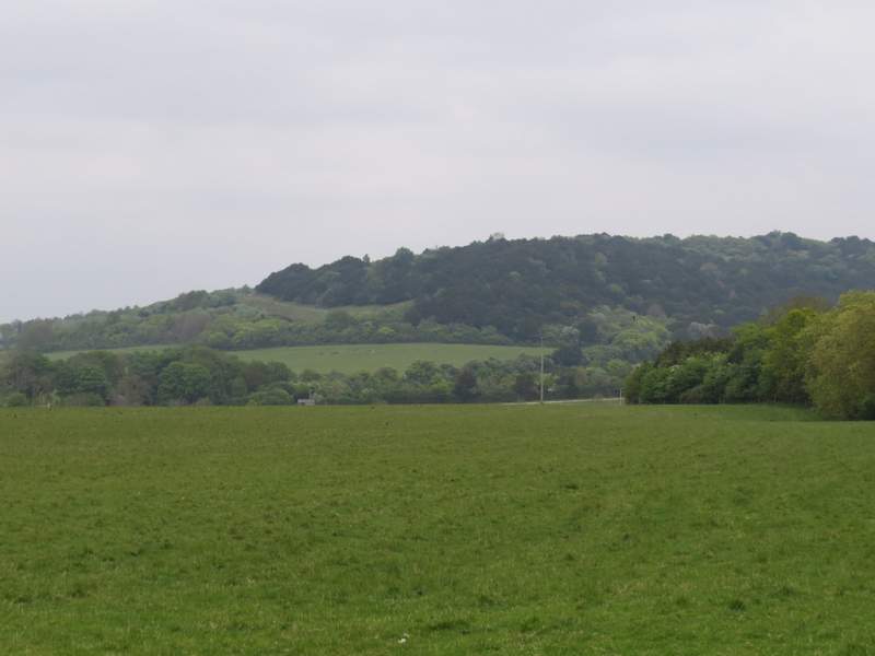
Watlington Hill, from the path to Dumble Dore
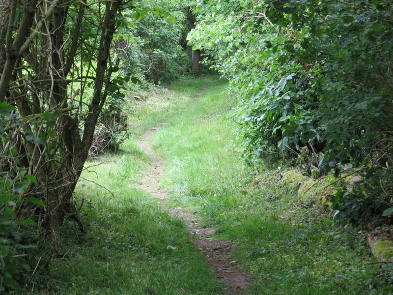
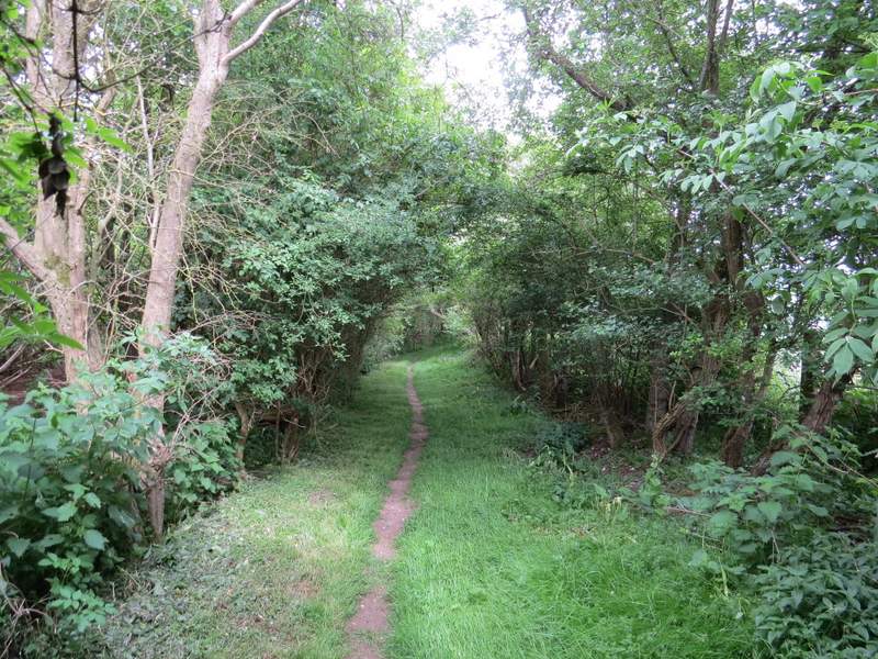
The path to Dumble Dore
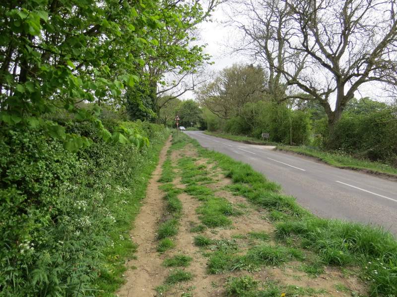
I turned left along the road and followed it for about a quarter of a mile (there was a reasonable verge on the right, most of the way). I then turned right along a footpath along a gravel drive (I got a reasonable photo of a Red Kite here). After passing a property on my left I then turned left at a path junction, the new path running through the middle of an old hedgerow. I went through a couple of metal gates in quick succession, and then continued to reach a wooden gate at the foot of Watlington Hill. Through this gate I turned left (if I'd followed the path straight on it would have been a slightly quicker route to the car park at the top of the hill).
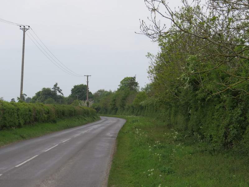
The short road section
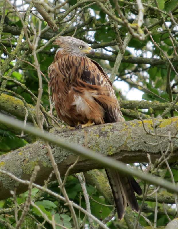
Red Kite, near the start of the path to Watlington Hill
The path to Watlington Hill
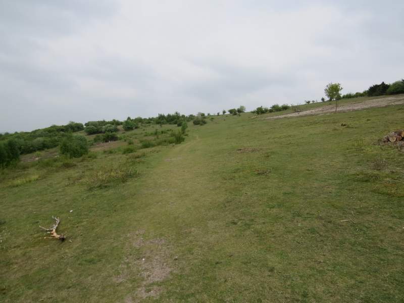
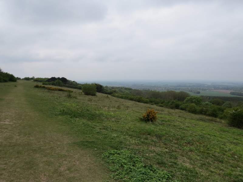
The path ran through bushes and trees at the foot of Watlington Hill, soon passing through an area of yew trees and emerging into a broad open area bordered by more yews on the right. I continued along the clear path through this area, rising gently uphill. Beyond the yew trees I reached a more open area of downland, short grass dotted with bushes and small trees (a prominent silver birch I remembered as a 'waymark' for this path had been cut down and was lying in a pile of logs close to the path). The path soon curved right and now came the steep part, but it wasn't too long and I reached the top of the hill sooner and less exhausted than I'd expected to. I took a few photos, and continued along the path over the long flat top of the hill.
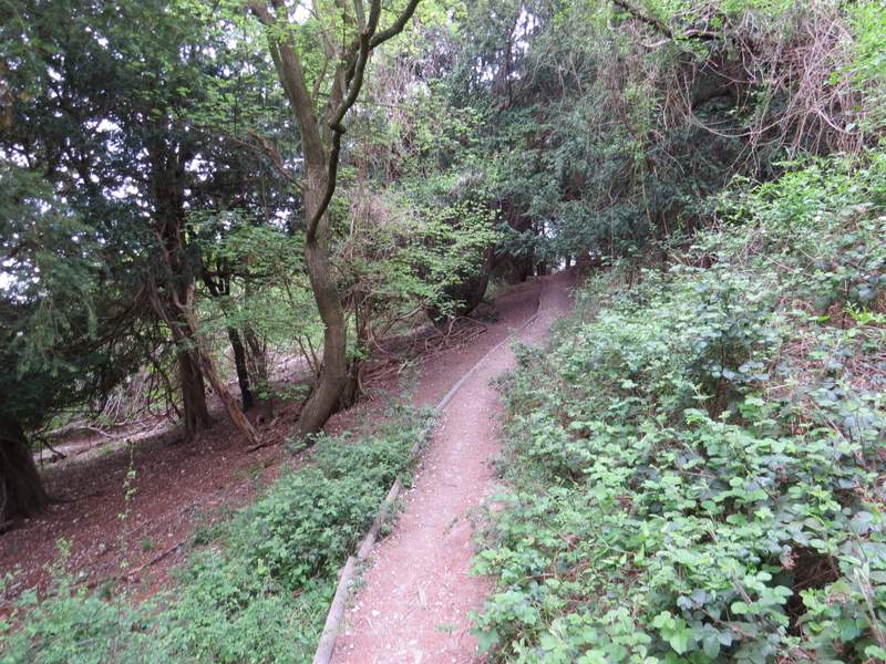
The path after I turned left at the foot of Watlington Hill
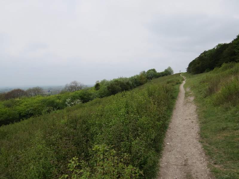
The path continuing up Watlington Hill
The path continuing up Watlington Hill
The path continuing up Watlington Hill
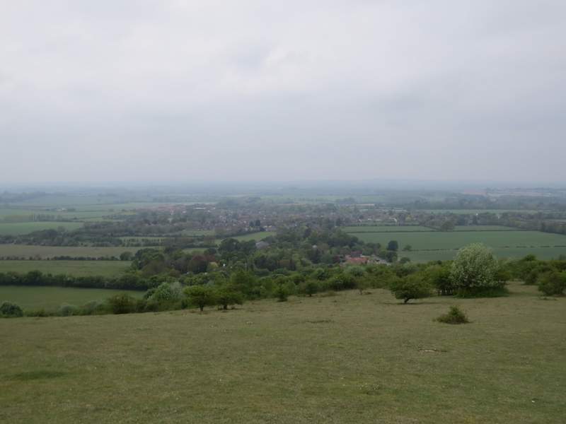
View over Watlington, from Watlington Hill
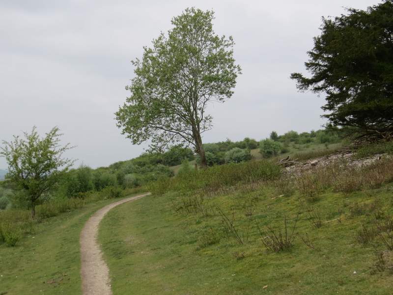
The path on top of Watlington Hill
The path on top of Watlington Hill
Looking left, to Pyrton Hill and Shirburn Hill
Looking back from the path along the top of Watlington Hill
The path eventually brought me to a gate (in a corner on the right of the open area on top of the hill), beyond which a surfaced path continued. I crossed a drive and carried on along the path through a small wooded area to reach the Watlington Hill car park. I then turned right and followed the road a quarter of a mile or so to a junction on the edge of Christmas Common. There I turned right and soon came to another junction where I forked left and reached my parked car in 50 yards or so.
The path continuing to the Watlington Hill car park
The road from Watlington Hill to Christmas Common
I enjoyed the walk, despite the grey conditions and consequently disappointing views. There were a few bits I'd not walked in this direction before (from Magpies to Nettlebed, the long bridleway to Nuffield and the path to Dumble Dore), and there was a good mixture of field paths, woods, open common and downland. The huge arrays of Bluebells were as impressive as ever, and the variety of other wildflowers I saw also added to the pleasure of the walk.