Pete's Walks- Ashridge Estate Boundary Trail (page 4 of 6)
If you are considering walking this route yourself, please see my disclaimer. You may also like to see these notes about the maps and GPX files.
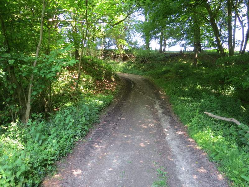
I followed the waymarks here until I came to a steep area of ferns, where I turned left and descended into the valley - I am sure I've always gone this way on this walk, but the waymarks indicated straight on. Anyway, in the valley bottom I turned right and very soon the two paths met at a junction where I turned left. The path now followed the southwest edge of Northchurch Common, with fields close by on my right. The path rose slightly uphill, ran level for some distance, then dropped downhill to reach a drive (from a property named Gorseside on the OS map). As I turned left to follow the drive uphill, I spotted about four Fallow Deer (in fact I was looking out for them as I've seen deer here several times before). After about a quarter of a mile a bridleway crossed the drive, and I turned right and soon came to a minor road (the road from Ringshall to Northchurch).
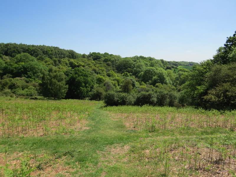
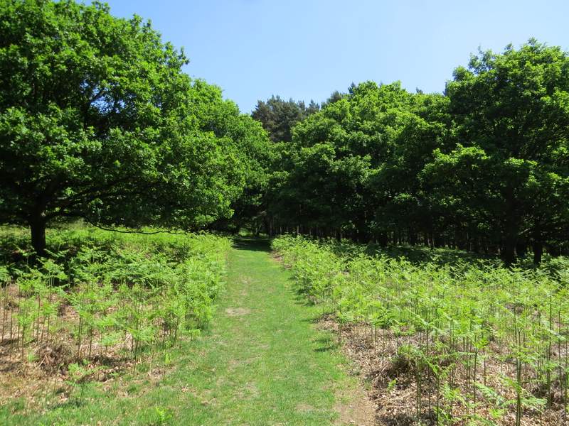
The path on Northchurch Common, after I turned left (the waymarks indicated that I should have gone straight on - the two paths met up after I turned right in the valley bottom)
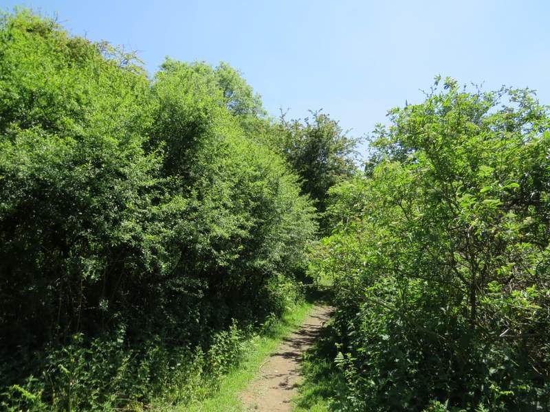
This is back on what is definitely the correct route, along the southwest edge of Northchurch Common
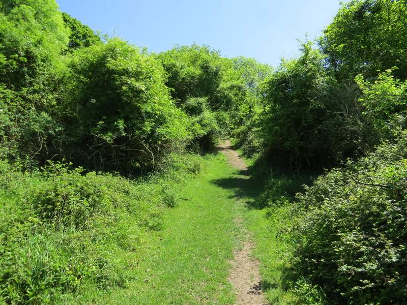
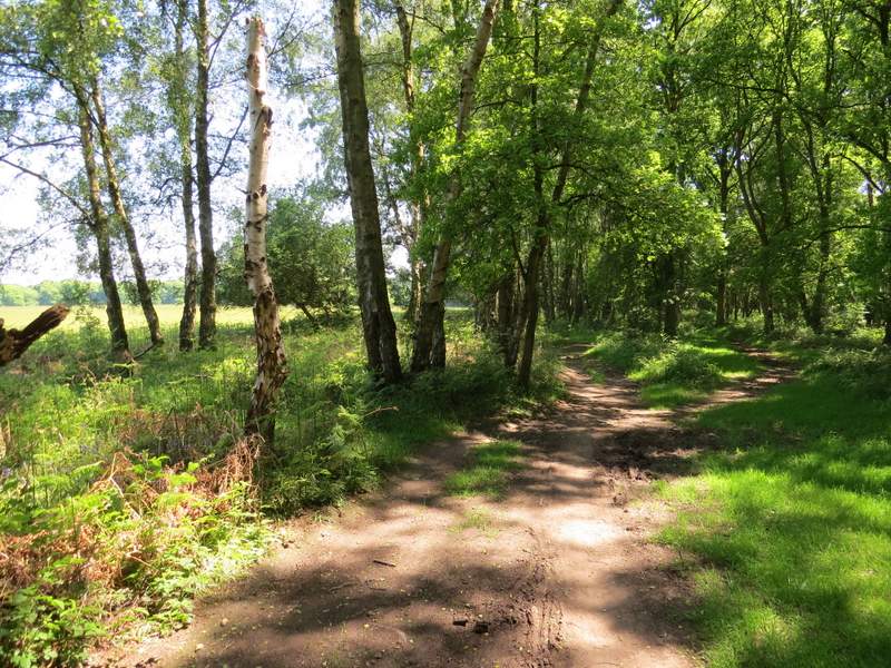
The path along the southwest edge of Northchurch Common
The path along the southwest edge of Northchurch Common
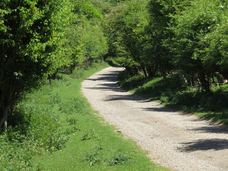
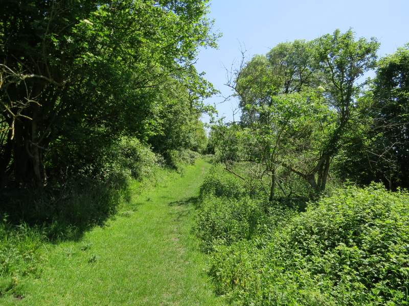
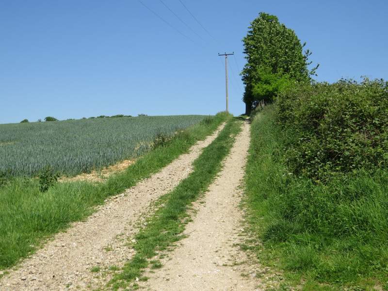
The drive from Gorseside
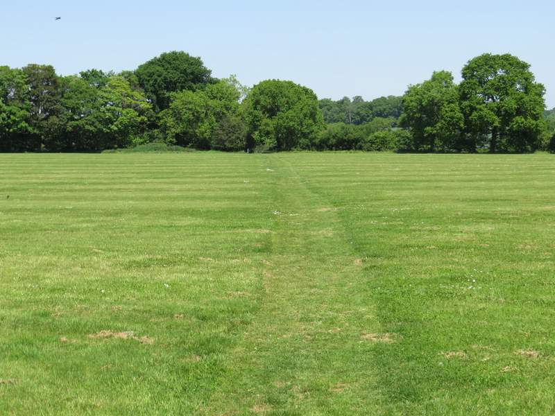
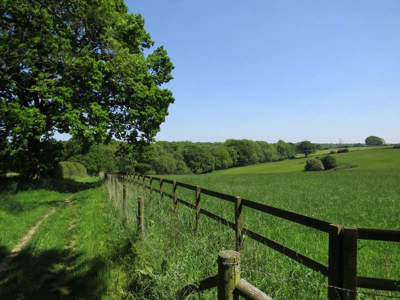
I crossed the road and continued along a bridleway opposite. I soon came to a bridleway fork where I went left. I stopped along here to sit on a tree trunk and eat my packed lunch, then continued a short distance to reach the drive to Northchurch Farm. I turned left and walked past the farm buildings, then forked left on a path that took me across a large flat field of short grass (I think it may sometimes be used for polo). On the far side I turned left onto a track which immediately turned right, running between a hedge and a fence on my right. At the bottom of a slight dip I went straight on over a stile and continued along another track, which soon turned left in an area of trees, and then turned right to follow the edge of an enormous corn field on my left. After several hundred yards I finally reached the corner of the field, where I went over another stile and went half-left across a meadow to reach Coldharbour Farm.
The bridleway to Northchurch Farm
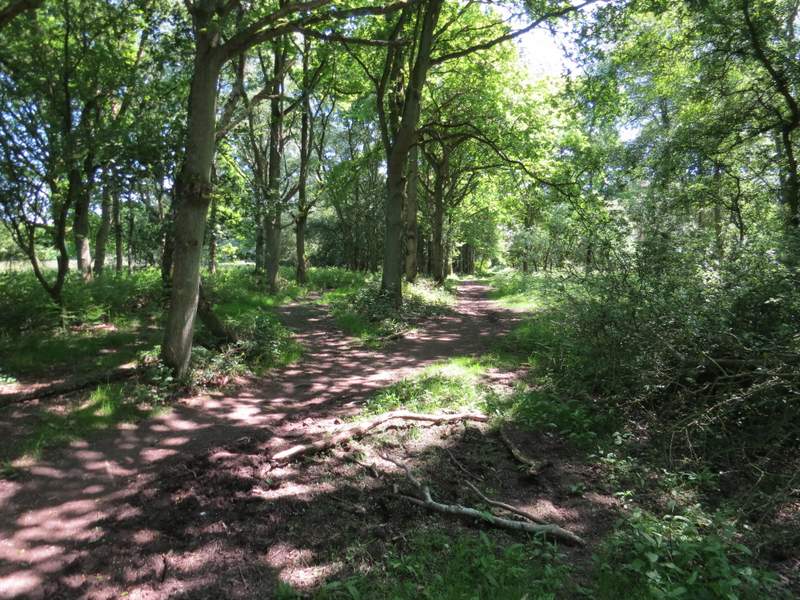
The path from Northchurch Farm to Coldharbour Farm
The path from Northchurch Farm to Coldharbour Farm
The path from Northchurch Farm to Coldharbour Farm
The path from Northchurch Farm to Coldharbour Farm

The path from Northchurch Farm to Coldharbour Farm
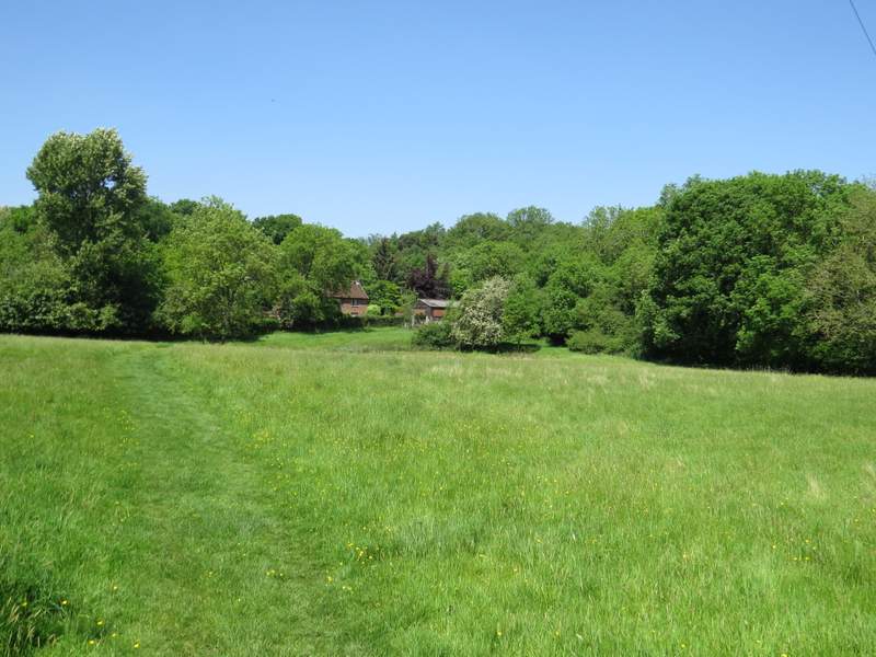
Approaching Coldharbour Farm
I went through a couple of gates as I passed the farm on my left, then I turned right by a waymark post and followed another bridleway through yet more woodland (it was now such a hot day, I was really grateful for the shade of the trees!). I kept right when the bridleway forked, this bridleway then running through a narrow strip of wood with a huge area of grass close by on my left.
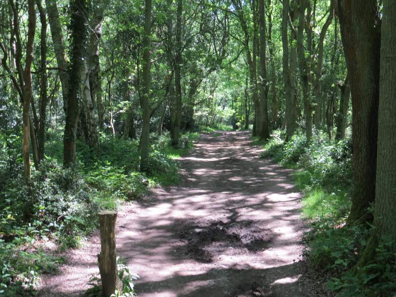
The start of the bridleway going southeast from Coldharbour Farm
The bridleway going southeast from Coldharbour Farm
The bridleway going southeast from Coldharbour Farm