Pete's Walks- Cowleaze Wood, Chinnor, Ibstone (page 4 of 7)
If you are considering walking this route yourself, please see my disclaimer. You may also like to see these notes about the maps and GPX files.
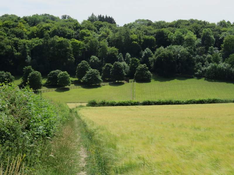
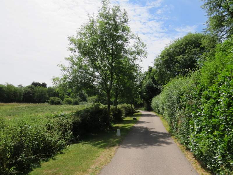
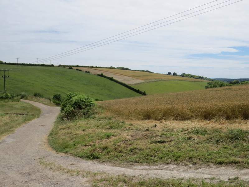
When the path left Lott Wood at a corner, it continued alongside a hedge on my left (over which was a nice view along a valley, heading towards Bledlow Ridge). At the end of the corn field on my right the path continued straight on through another corn field, and then on between paddock fences to reach the drive from Hallbottom Farm. I turned right to follow the drive, which immediately curved left and went slightly uphill before turning right. I continued along the drive until I reached Stokenchurch. Here I turned right, by the Royal Oak pub, following a short street which curved left to reach the A40 in the centre of the village. Across this I went carried on across the green (with a road just to my left) and went straight down a street (starting just to the left of another pub).
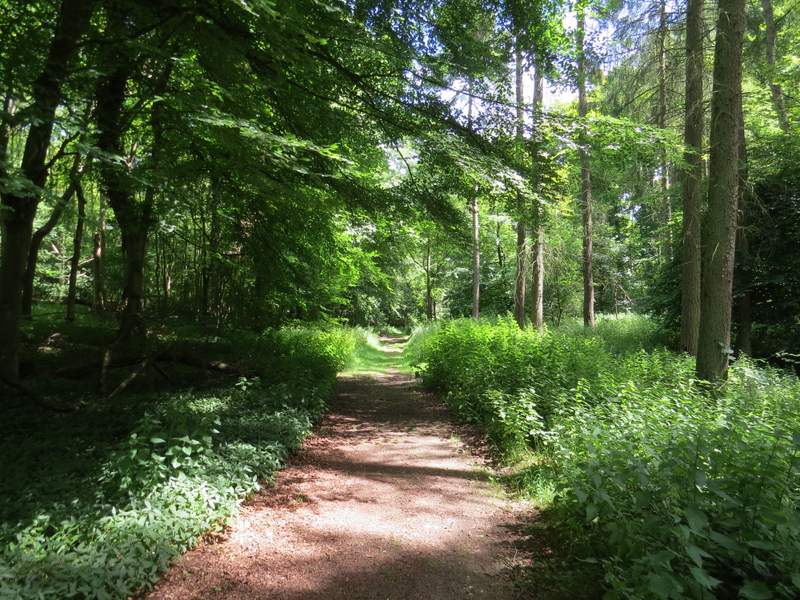
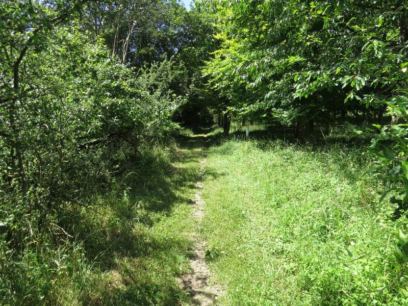
The path continuing from Lott Wood
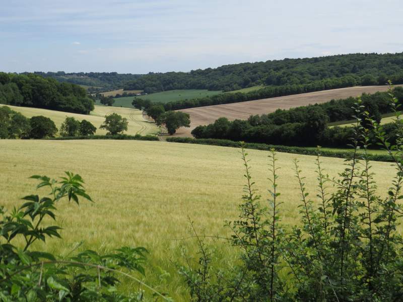
View towards Bledlow Ridge, from the path from Lott Wood to Hallbottom Farm
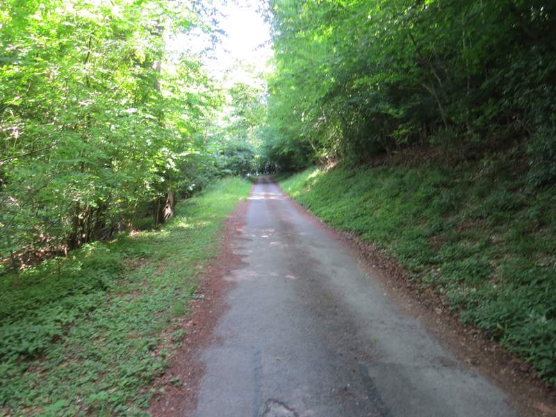
The drive from Hallbottom Farm
The drive from Hallbottom Farm, heading to Stokenchurch
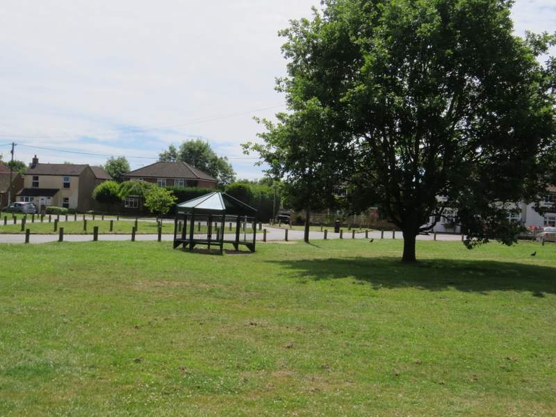
Stokenchurch (after crossing the A40) - I continued down a street whose start is almost hidden behind the circular seat in the photo
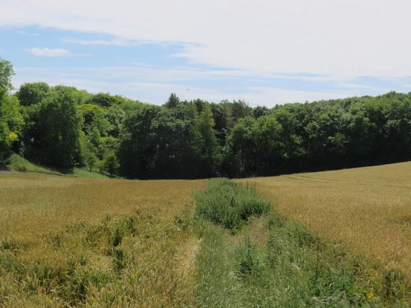
Where the street went left, I went straight on, along the drive to Coopers Court Farm. After passing under the M40 for the second time today, I turned left along a track heading away from the farm and down a small valley. After maybe a quarter of a mile, where the track went slightly left, I went straight on along a headland between corn fields. A waymark seemed to show the path staying on the track, but I was following the route on the OS map and it's definitely the way the path used to go - but I'd have been better off on the track, as for much of the path the headland was covered in nettles and my legs were squeezed between the corn on the left and the nettles on my right. The path then entered Penley Wood, continuing along the valley bottom as it curved left and then right.
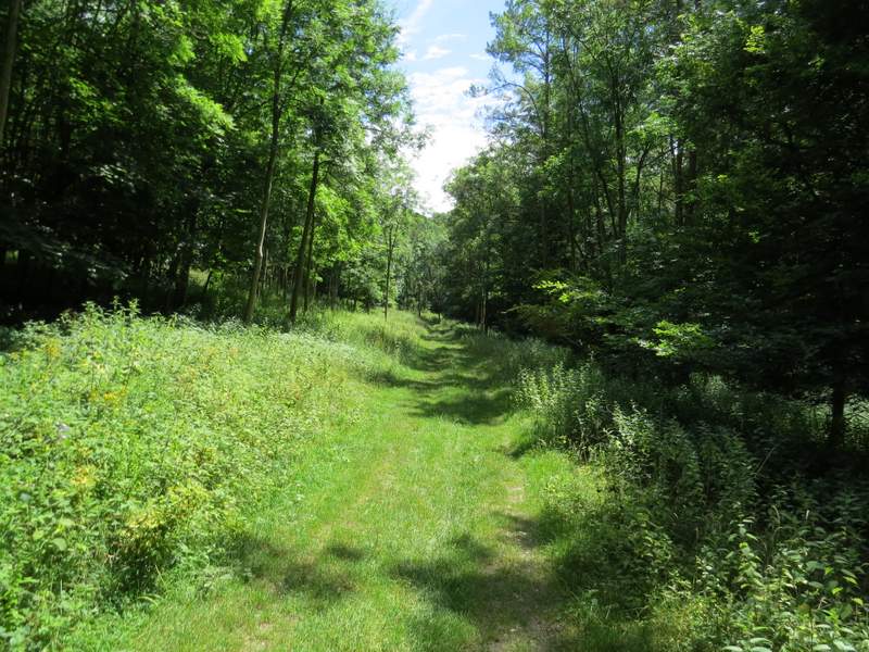
The track from Coopers Court Farm
The footpath to Penley Wood (I'd have done better to stay on the track)
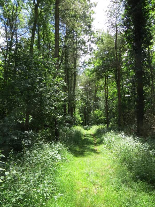
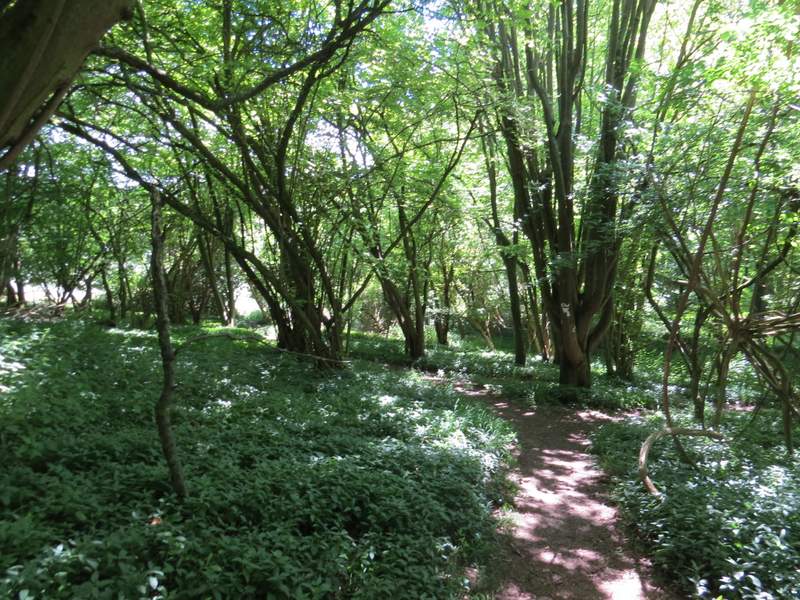
The path through Penley Wood
The path through Penley Wood
The path through Penley Wood
The path through Penley Wood
I must have been lost in a daydream along here, as I not only missed where a footpath came in on the left from Penley Farm, but also where a path then went right, which was where I wanted to go! I did notice a path on the right, but immediately knew it wasn't the one I wanted - fortunately I only had to backtrack one or two hundred yards. The path (clearly marked by white arrows, I had no excuse for missing it!) immediately left Penley Wood and rose slightly uphill across a corn field, continuing between bushes and small trees for a while until I reached another path junction. Here I turned left, joining the route of the Chiltern Way which I'd be following for the next couple of miles. The path went a short way through part of Commonhill Wood, emerging into another corn field where it turned right to follow the edge of the field and the wood down into a valley.
The path after I turned right in Penley Wood
The path after I turned right in Penley Wood
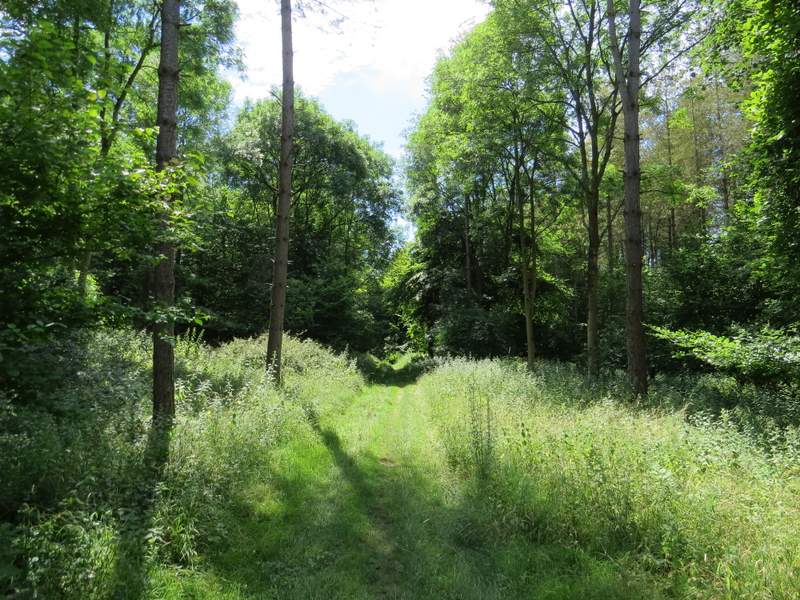
The path after I turned left (onto part of the Chiltern Way)
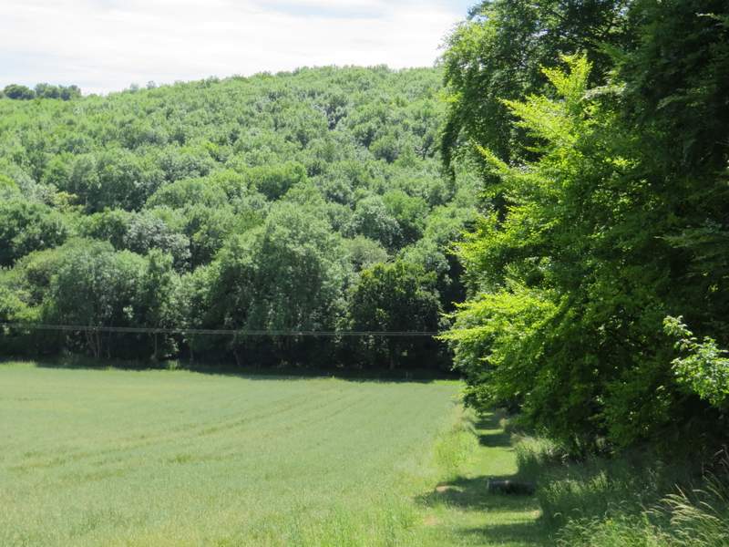
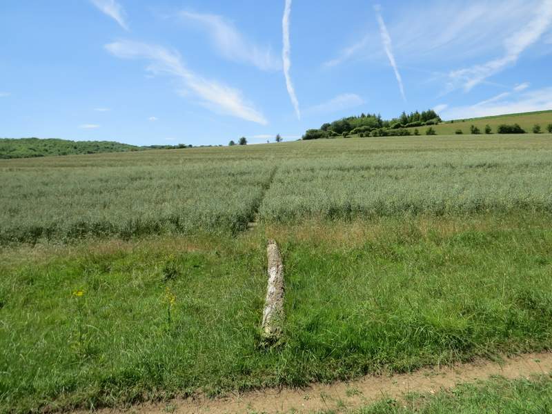
The path descending beside Commonhill Wood - the wood ahead is Hartmoor Wood