Pete's Walks- Coombe Hill and Prestwood (page 4 of 4)
If you are considering walking this route yourself, please see my disclaimer. You may also like to see these notes about the maps and GPX files.
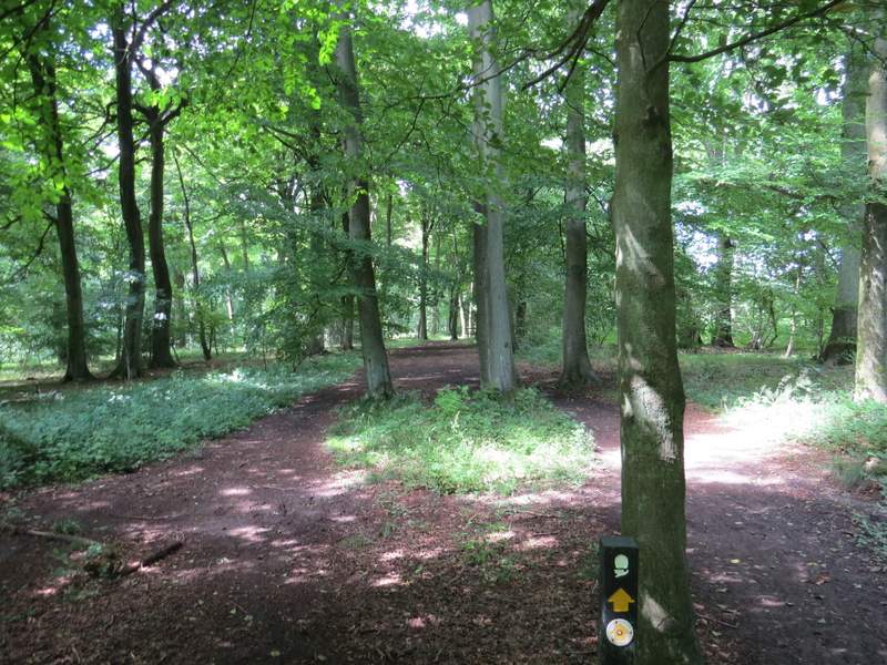
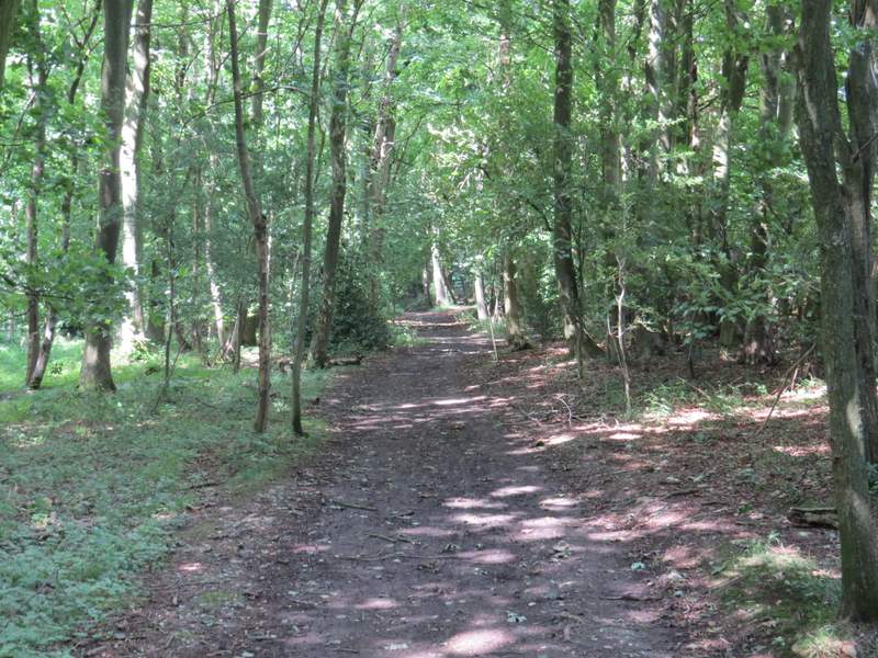
The bridleway ended at a road, where I crossed over and entered a small car park below the wooded slopes of Pulpit Hill. Within a few yards I turned right and followed another bridleway that ran almost parallel to the road over to my right. After a few hundred yards it turned right along a track for a few yards to reach the road by a gate - the bridleway went left here, still close to the road, but I took a footpath (not on the OS map) that went sharper left and cut off a loop in the bridleway. This went a little way uphill through the woods. At a crossroads of paths I went straight on, now on a bridleway again. This took me through Port Wood, turning right at one point and then continuing through a narrow section of the wood to reach a minor road.
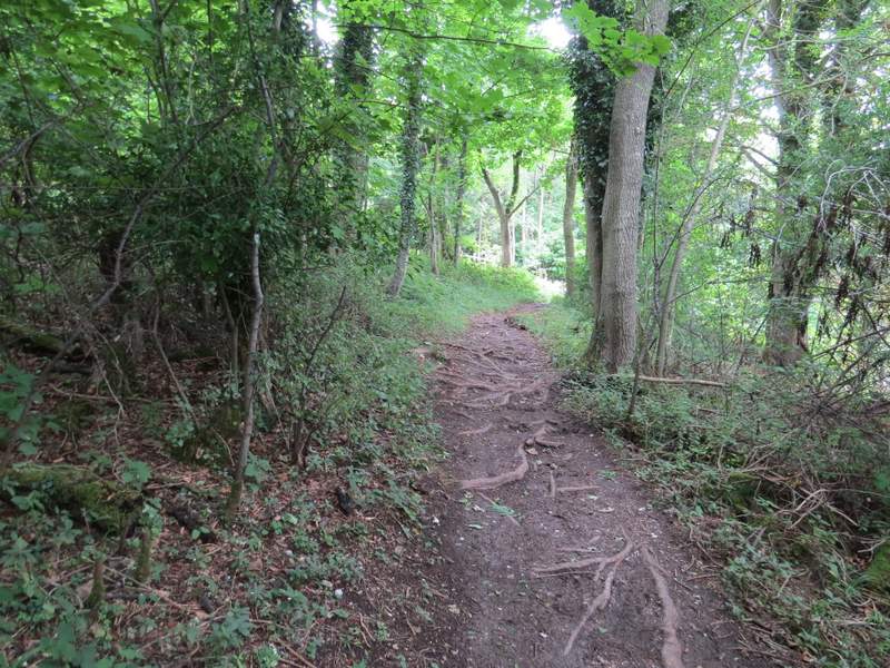
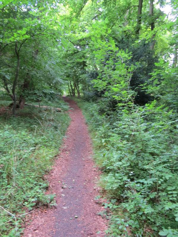
The bridleway close to the road, in Pulpit Wood
The short path after I turned left off the bridleway
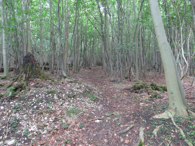
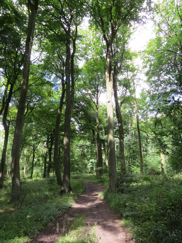
The bridleway in Port Wood
The bridleway in Port Wood
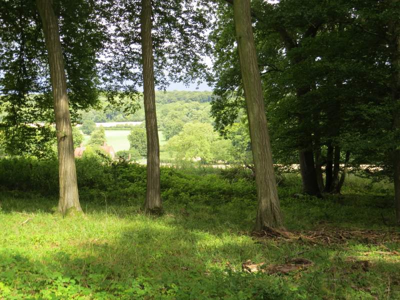
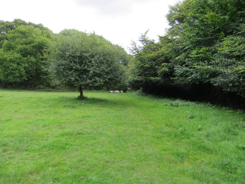
Looking half-left from the bridleway in Port Wood
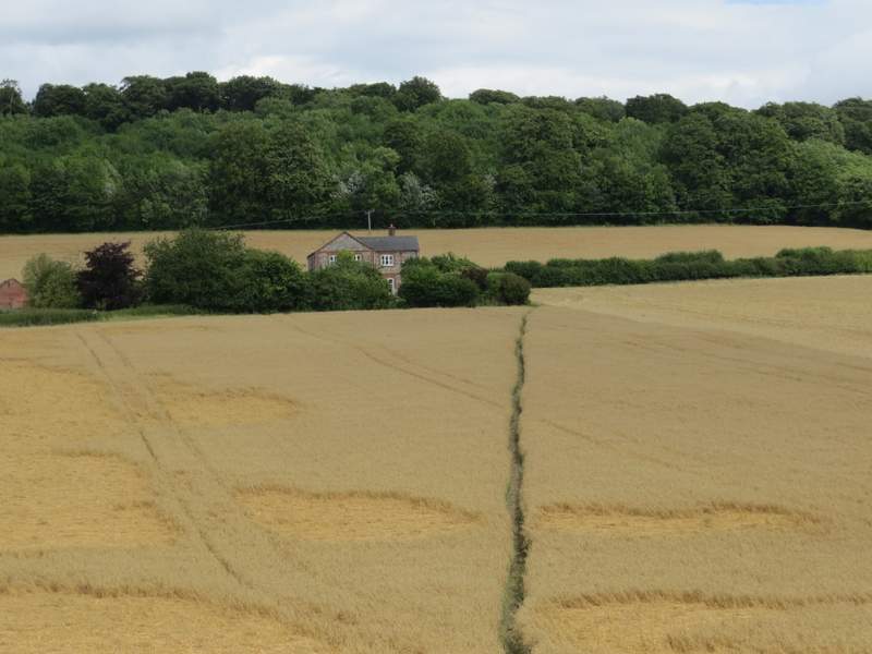
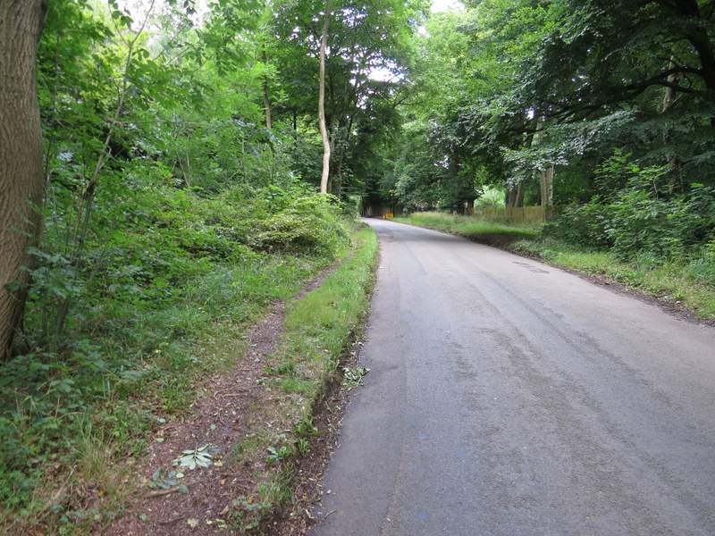
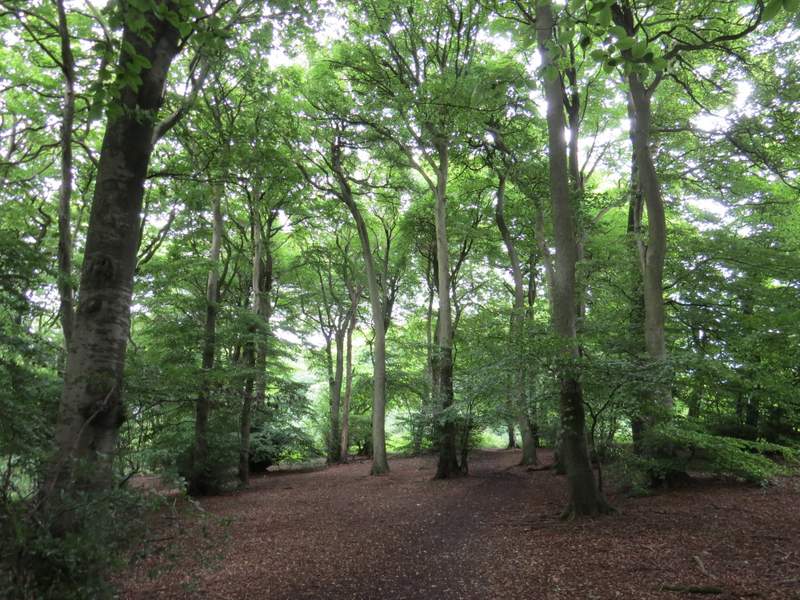
I crossed the road and took a footpath going straight on across a corn field to reach the lane through the hamlet of Buckmoorend, where I turned left. At the end of the lane I turned sharply right onto a track, part of the Ridgeway. This ran through a tree belt for a while then rose sharply uphill through part of Goodmerhill Wood. Near the top of the slope the Ridgeway turned left, and I followed its signposts for almost half a mile through Goodmerhill and Linton's Woods until I reached a road on Lodge Hill.
The path to Buckmoorend
Buckmoorend
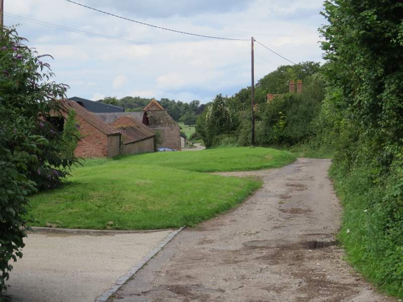
The Ridgeway at Buckmoorend
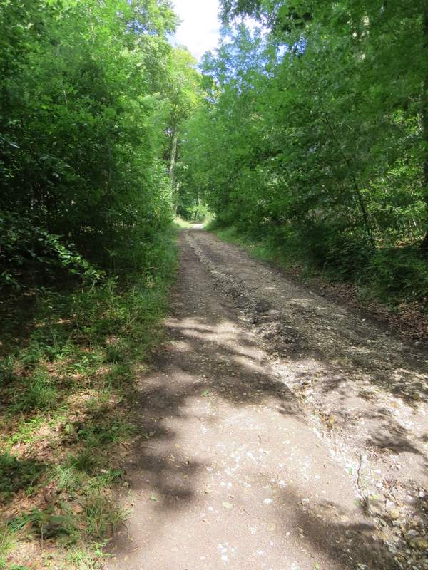
The Ridgeway climbing uphill from Buckmoorend
The Ridgeway climbing uphill through Goodmerhill Wood
Goodmerhill Wood
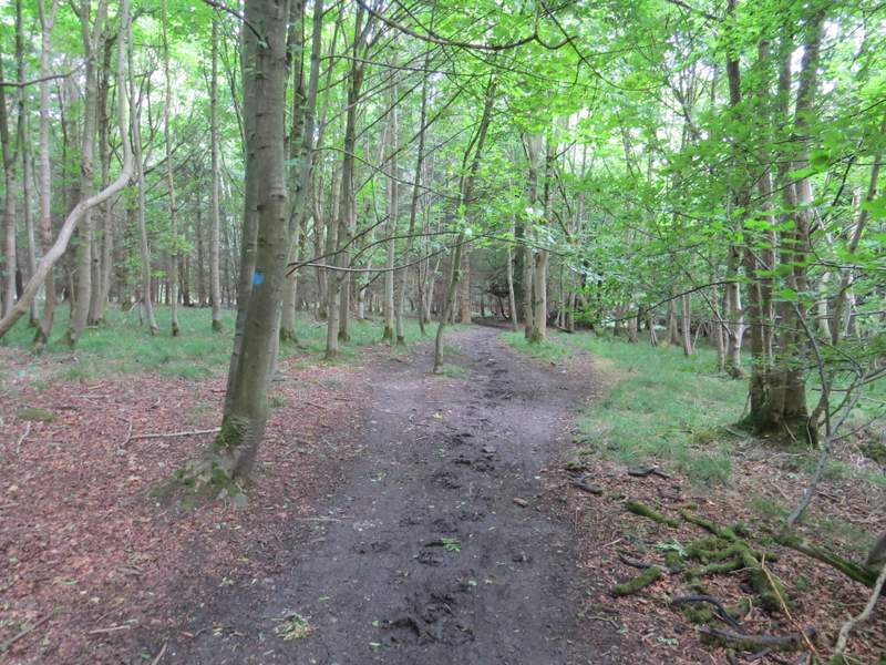
Linton's Wood
Linton's Wood
The Ridgeway approaching the road on Lodge Hill
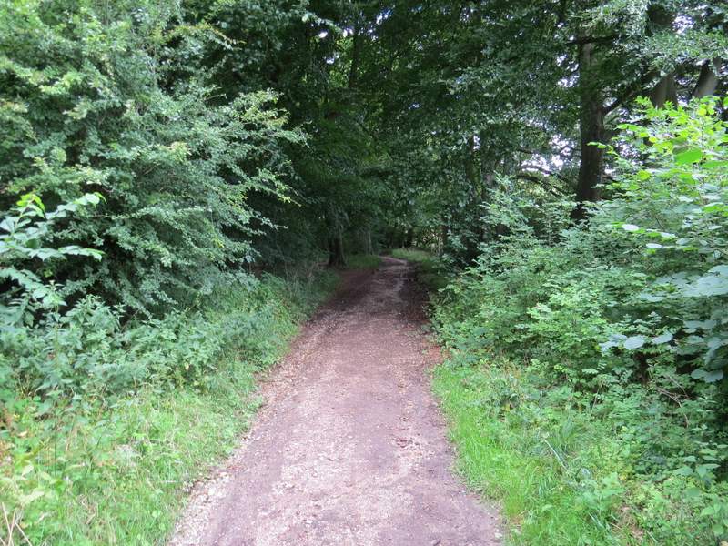
I turned right and followed the road uphill for about a hundred yards, before turning left and continuing along the Ridgeway as it passed through another wood. After going through a metal kissing-gate, I left the Ridgeway by turning right and soon came back to the Coombe Hill car park where I'd started.
The road on Lodge Hill
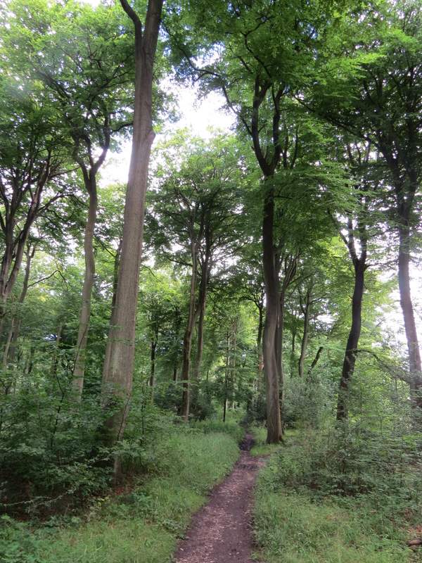
The path after the Ridgeway turns left from the road on Lodge Hill
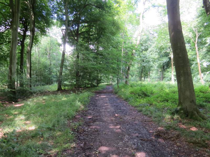
The path back to the Coombe Hill car park
This was an odd walk for me, and I actually found it tougher than I should have done because I was definitely in the wrong frame of mind for a long walk - I was in 'looking for wildflowers' mode rather than 'go for a long walk' mode, and so after the last spot where I looked for flowers, I found the few miles back to the car a bit of a drag. But it wasn't a bad route (apart from the road section between Redland End and Green Hailey, for which I've added an alternative on the map that takes the distance up to about 10.5 miles). There was at least one new path for me, and some that I'd only walked once before a long time ago, so that added some interest (for me, at least). The paths either side of Honor End Lane are definitely worth walking, for the fine views they give over Hampden Bottom.
I've estimated the time taken for this walk to be 4 hours, but that's a rougher estimate than usual as I've had to make some allowance for the time I spent looking for wildflowers in various places along the route.