Pete's Walks - Little Missenden and Amersham Old Town (page 2 of 3)
If you are considering walking this route yourself, please see my disclaimer. You may also like to see these notes about the maps and GPX files.
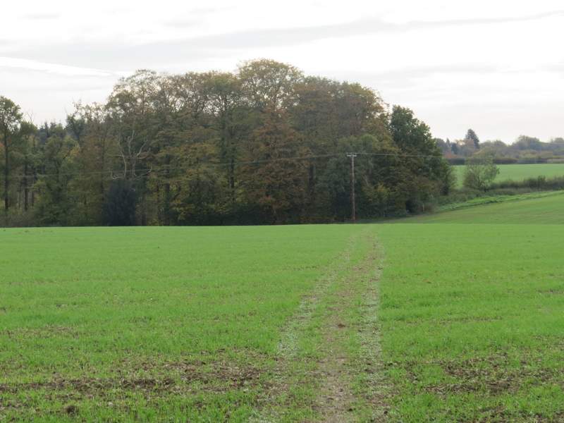
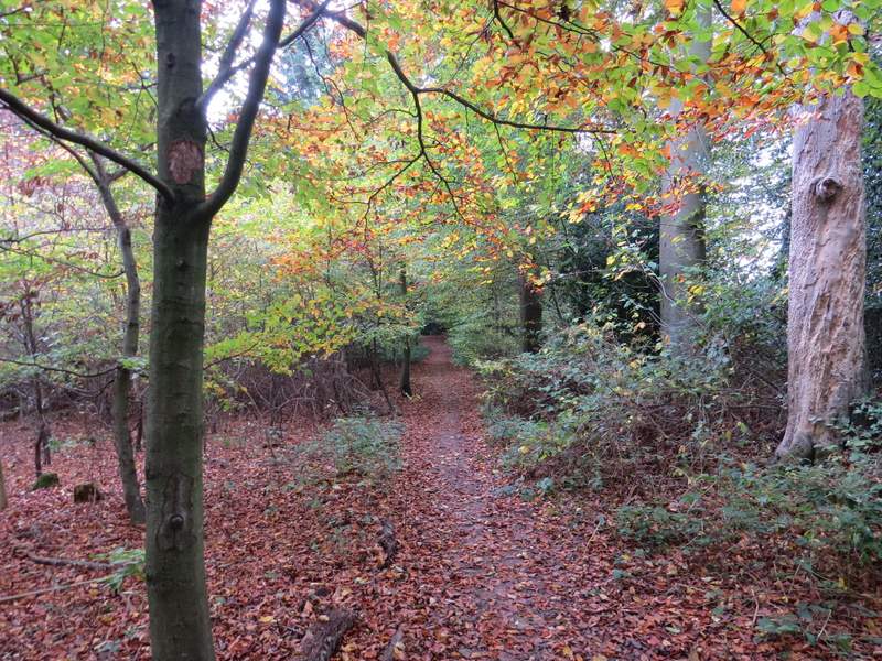
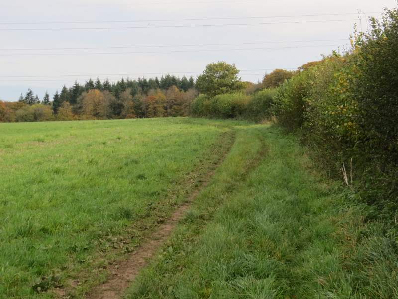
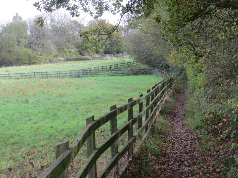
I followed the road with the village green on my left, and turned left at a road junction to follow another side of the green. I took a short detour to visit the war memorial on the green (one of the stages in the Chiltern Heritage Trail guidebook ends here), and then crossed the road and took a footpath that started down a gravel drive between several properties. At the end of the drive, the path continued through some bushes with a garden hedge on the left, then went slightly right across a large arable field, aiming for a corner of a wood. The path then ran just inside the wood, with fields nearby on my right - initially this was Priestlands Wood but at some point it became Tragoe's Plantation. On leaving the wood I went straight on across another field, then the path continued between hedges to reach a road in Winchmore Hill.
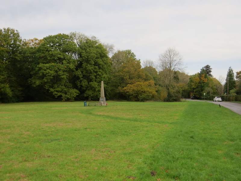
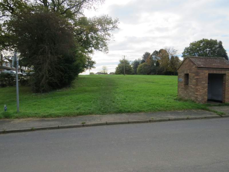
The green at Penn Street
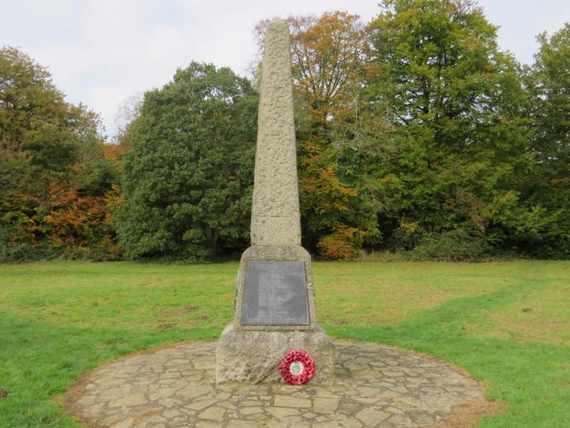
War memorial at Penn Street
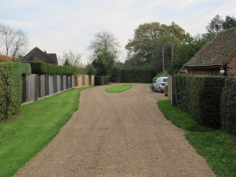
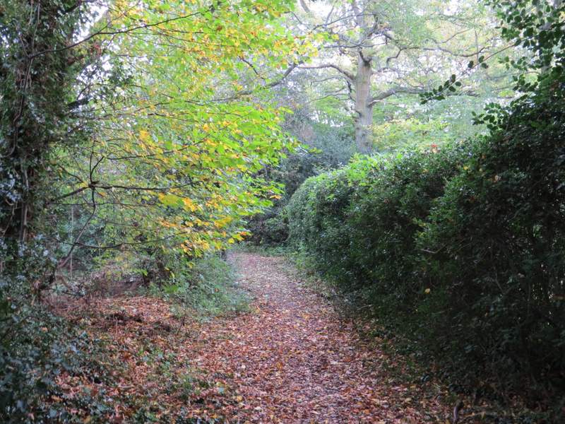
The start of the path from Penn Street to Winchmore Hill
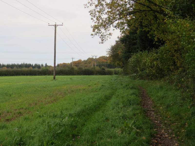
The path from Penn Street to Winchmore Hill
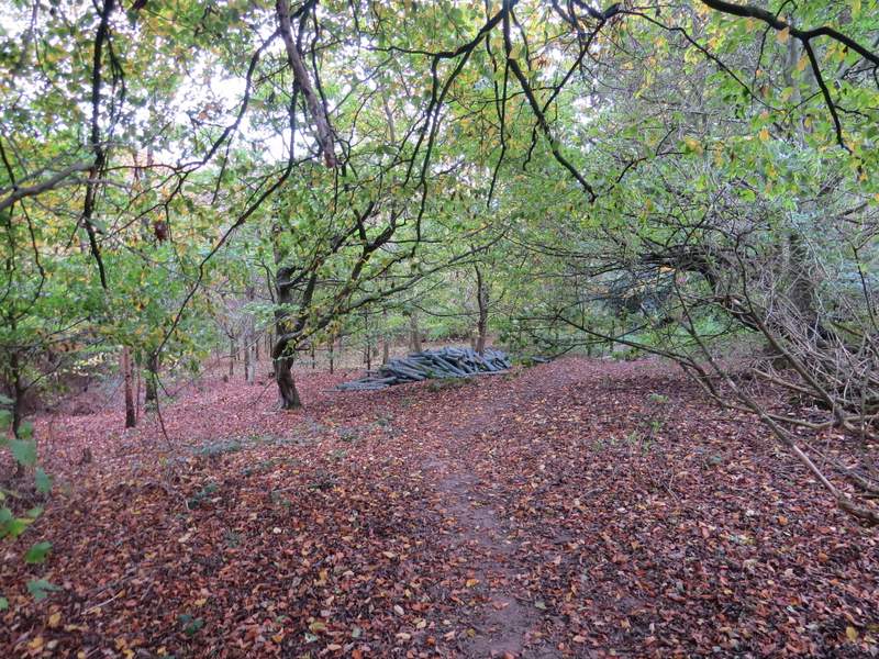
The path from Penn Street to Winchmore Hill, in Priestlands Wood or Tragoe's Plantation
The path from Penn Street to Winchmore Hill, in Priestlands Wood or Tragoe's Plantation/p>
The path from Penn Street to Winchmore Hill
The path from Penn Street to Winchmore Hill
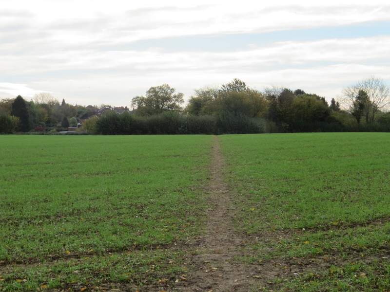
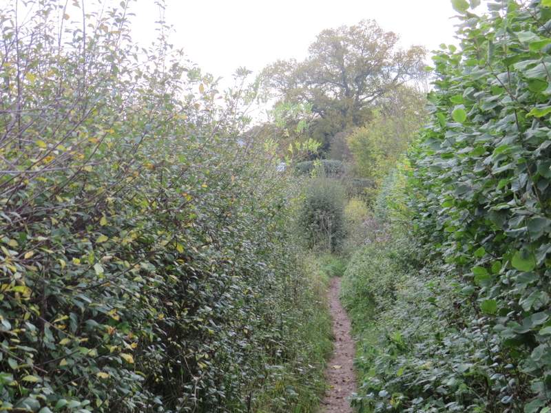
I crossed the road and went very slightly right as I crossed an area of grass to reach a seat. I then continued along another road, with a playing field now on my right. On reaching a crossroads, I turned left into The Hill. After about a hundred yards I took a path on the right (opposite a Methodist chapel) which soon left Winchmore Hill and followed a hedgerow on my right through two arable fields. The path then ran for about a hundred yards through a wood (the side nearest to Winchmore Hill is Coleshill Larches, but somewhere it becomes West Wood). I then had to cross a muddy field (it almost always seems to be muddy here!), aiming to pass just right of a small copse in the middle of the field, and then bearing slightly more left to reach a gate on the other side of the field. The path then continued between a wooden fence on my left and a hedgerow - I was relieved that this was dry, as this can become almost impassably muddy at times. Beyond another gate, the path followed an old strip of concrete and then a gravel drive past a couple of cottages to reach a road in Coleshill.
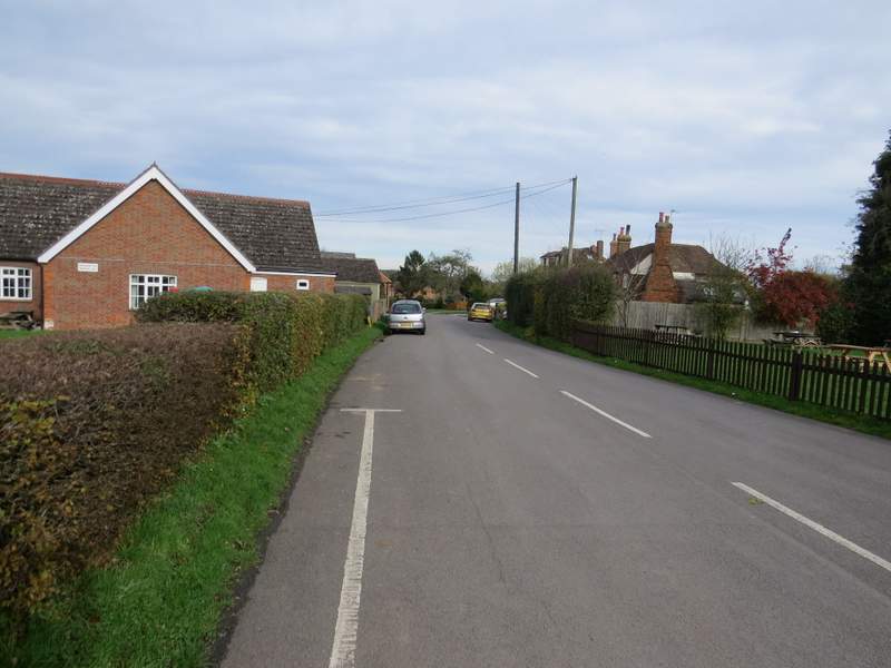
Winchmore Hill
The Hill, Winchmore Hill
The path from Winchmore Hill to Coleshill
The path from Winchmore Hill to Coleshill
The path from Winchmore Hill to Coleshill
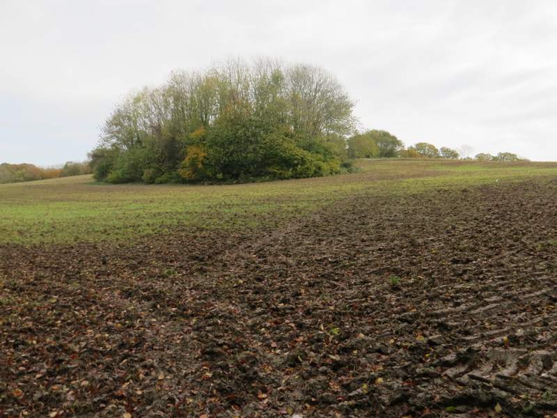
The path from Winchmore Hill to Coleshill
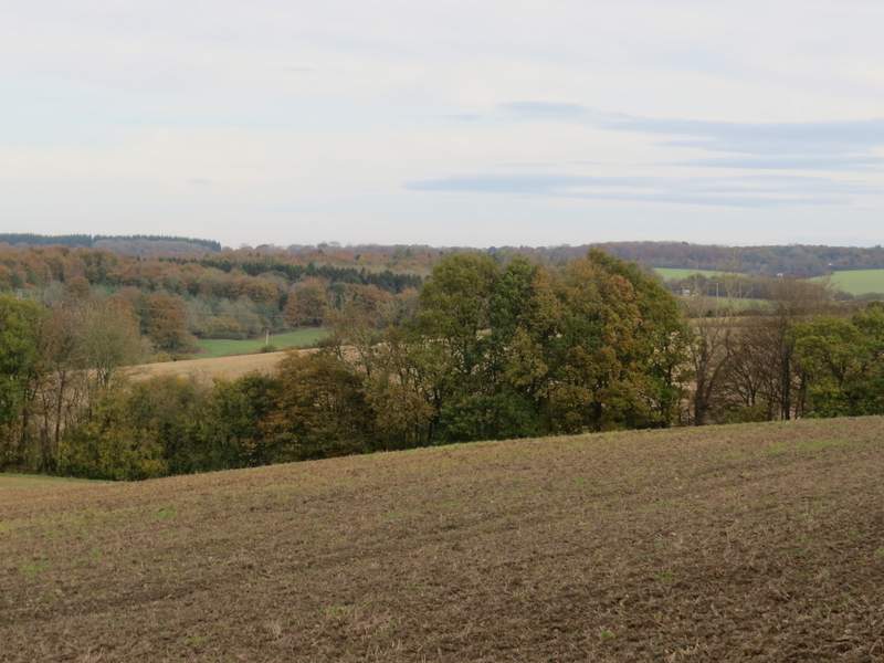
View from the path from Winchmore Hill to Coleshill, looking left towards the Misbourne Valley
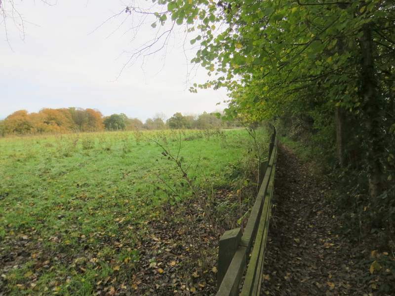
The path from Winchmore Hill to Coleshill
The path from Winchmore Hill to Coleshill