Pete's Walks - The Lee and Little Missenden (page 1 of 3)
If you are considering walking this route yourself, please see my disclaimer. You may also like to see these notes about the maps and GPX files.
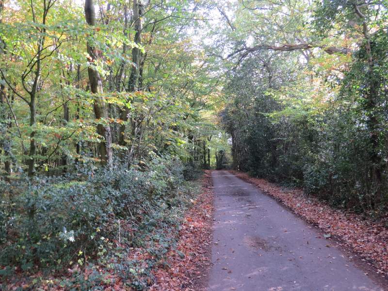
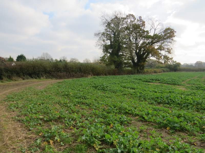
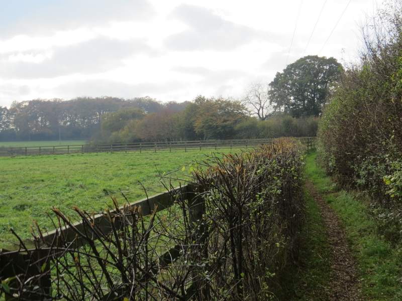
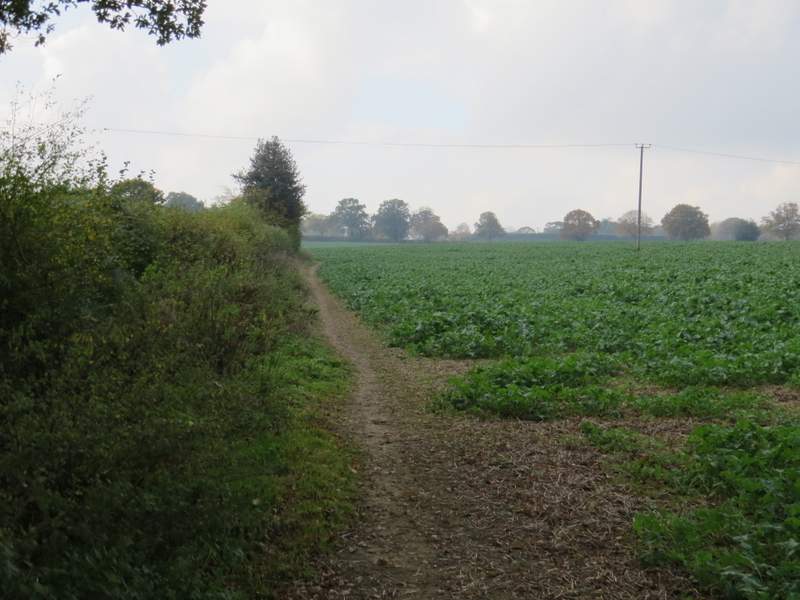
I did this walk of about 8 miles on Friday, 3rd November 2017, the fifth walk of the seven I will do on the Chiltern Heritage Trail. I started from the war memorial on the green at The Lee (grid reference SP990043), setting off about 12.40pm (having first walked here from Little Missenden). I walked along the end of the green towards the Cock and Rabbit pub, and then went down a lane on the left (actually the OS map shows it as an 'other route with public access'), with houses to the left and a grassy field dotted with trees on the right. The lane continued past a wood on the left and further on I reached the hamlet of Ballinger Bottom, where the lane became a bridleway on a track. Where the track ended (by a seat with a view over fields, hedges and woods) the bridleway continued between hedges a short way, then between a wood on the left and a hedge. Further on there was a wood on the right and a fence to my left. Finally the bridleway ran between hedges of tall trees for a hundred yards or so to reach the end of a lane in Ballinger Common.
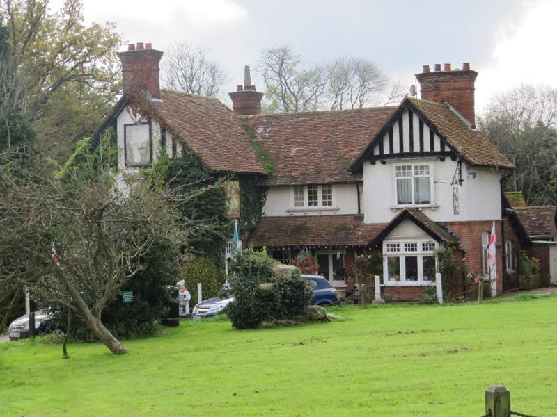
The Cock and Rabbit, The Lee
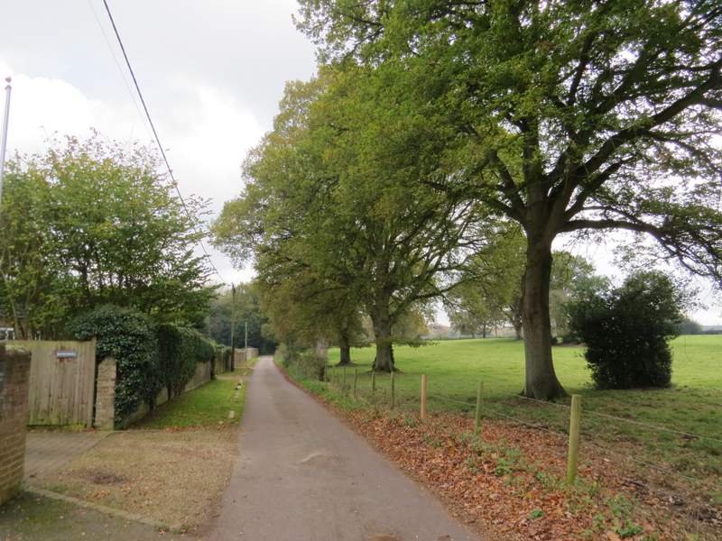
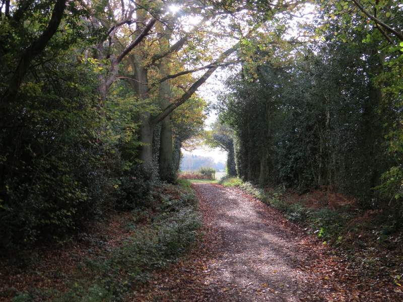
The start of the bridleway from The Lee to Ballinger Common
The bridleway from The Lee to Ballinger Common
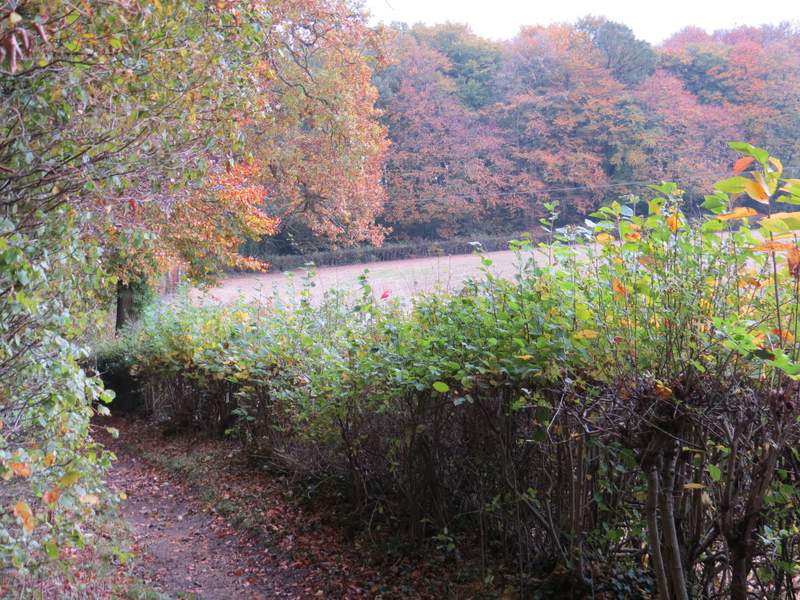
The bridleway from The Lee to Ballinger Common, passing through Ballinger Bottom
The bridleway from The Lee to Ballinger Common
The bridleway from The Lee to Ballinger Common
The bridleway from The Lee to Ballinger Common
The bridleway from The Lee to Ballinger Common
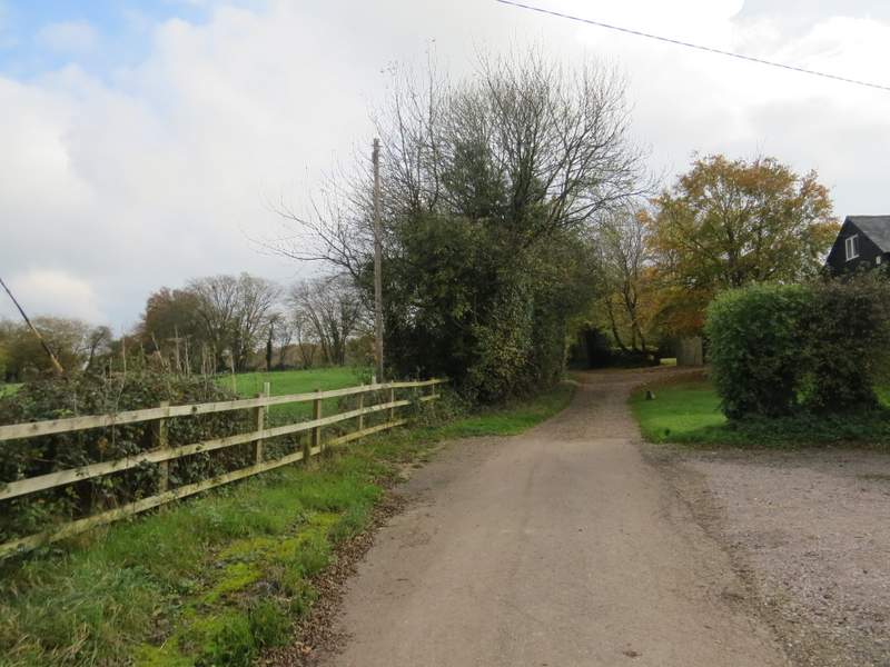
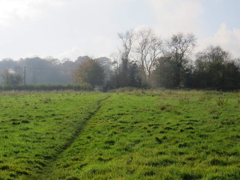
I continued straight on down the lane, soon passing the tiny St Mary's church in a garden on the left. Shortly before reaching the end of the lane, I turned right, passing a Play Area in a corner of a sports field and going through a gate in a hedge on the left. Here, with a road just to the left, I turned right along a rather overgrown path, with the sports field over the hedge on my right. A waymark indicated where the path went slightly left, between hedges and then through two gates. It continued alongside a hedge on the left past a small meadow, then went over a stile in a hedge. Here the path turned left for a short way before turning right in the field corner. After about a hundred yards I came to a stile in the hedge on my left, which I crossed and then turned right, now on a path between a fence and the hedge that was now on my right. After two or three hundred yards I went over a stile in the hedge on my right, the new path following another hedge on my left. The hedge and path turned left and then right. The path then went through a gap in the hedge (just after the last of a number of trees in the hedge) and continued across a meadow to a gate and a lane.
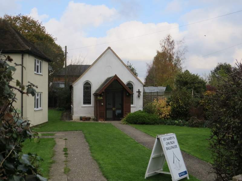
The tiny St Mary's church, Ballinger
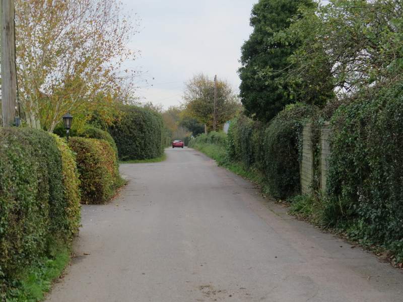
The lane at Ballinger Common
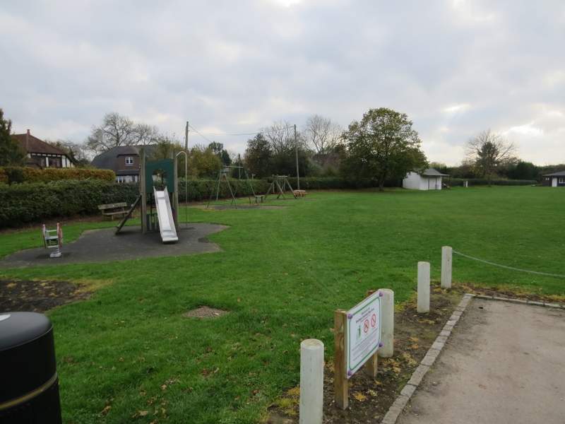
The Play Area at Ballinger Common
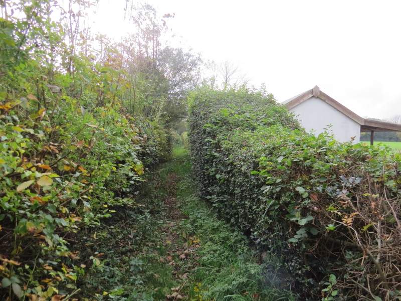
The rather overgrown path next to the playing field at Ballinger Common
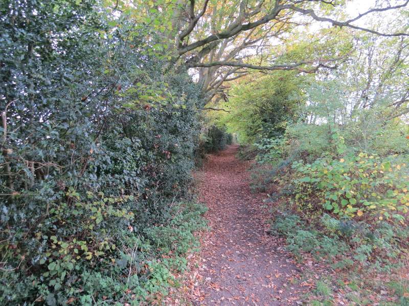
The path from Ballinger Common to Great Missenden (this is in the second field)
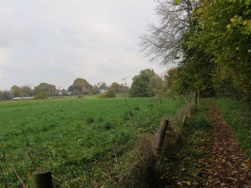
The path from Ballinger Common to Great Missenden (where the path runs between a fence and a hedge
The path from Ballinger Common to Great Missenden (in the next field, after I turned right over a stile in the hedge)
The path from Ballinger Common to Great Missenden, approaching the lane