Pete's Walks - Little Missenden and The Lee (page 1 of 3)
If you are considering walking this route yourself, please see my disclaimer. You may also like to see these notes about the maps and GPX files.
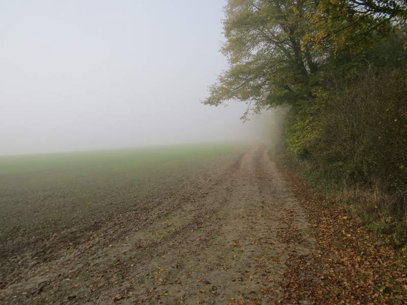
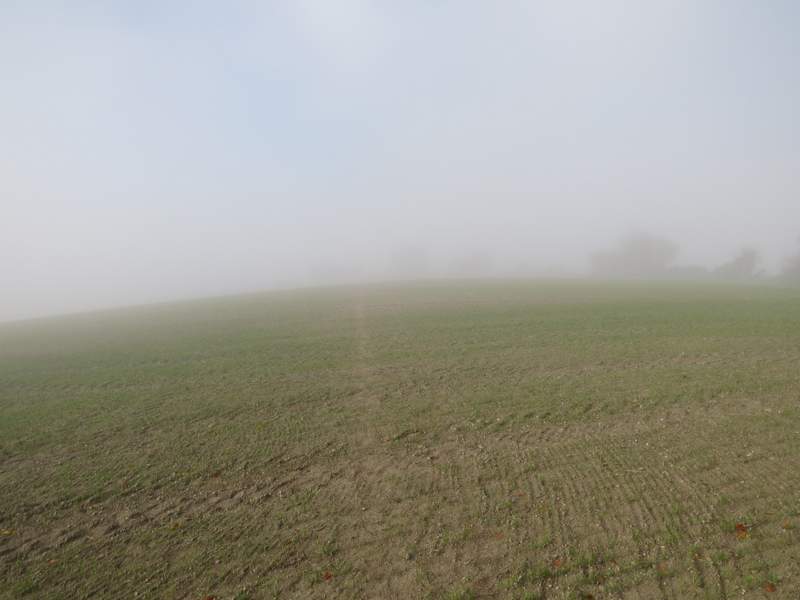
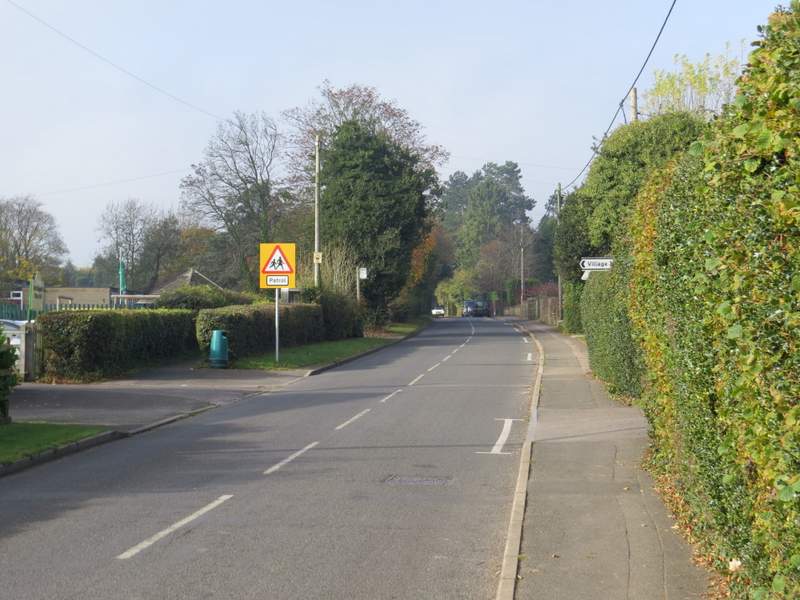
I did this walk of about 8 miles on Friday, 3rd November 2017. For the second time in a week, I parked opposite the church in Little Missenden (grid reference SU 921989). I was not a happy bunny when I arrived, as on my drive here it had been steadily getting foggier (from Wendover onwards), and yet again I was cursing the BBC weather people. But I could just about see some blue sky above me, so I decided to have a look around the church once more in the hope that the fog would soon clear. So after taking a few photos of the mediaeval wall paintings and admiring some of the memorials, I finally started walking about 9.50am, this time heading westwards out of the village (so the churchyard was to my right). On reaching the 30mph sign at the edge of the village, I took a footpath going half-left across a meadow or paddock - the fog was still thick enough that at first I couldn't see the hedgerow I was walking towards. After crosssing a bridleway (Kingstreet Lane), I followed a hedge on my right past a large arable field, the path now gently rising uphill. When the hedge turned right, I went straight on, only just managing to see the next hedgerow ahead of me. Beyond that hedgerow the path continued its gentle ascent, now through the middle of a huge arable field. As I'd been slowly gaining height the fog had been gradually getting thinner, and I was hoping to see a 'cloud inversion' (strictly speaking it's actually a 'temperature inversion') where I'd be looking back down on the fog. It didn't quite happen, but by the time the path levelled off near the far side of the field, I was roughly level with the top of the fog. On eventually leaving the field, the path continued for maybe another couple of hundred yards to reach a road in Little Kingshill.
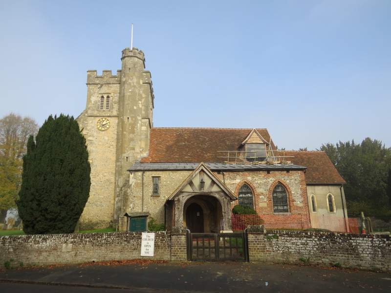
Little Missenden church
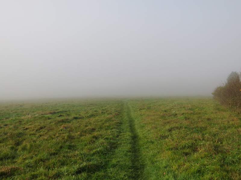
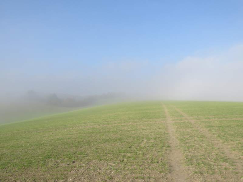
The first field after leaving Little Missenden - the fog is so thick I can't see the far side of the field
The fog is starting to clear as I head gently uphill, after crossing the bridleway named Kingstreet Lane
From where the hedge turns right, I can just about make out the hedgerow on the far side of the field
The fog is definitely starting to clear, as I cross the huge arable field on the way to Little Kingshill
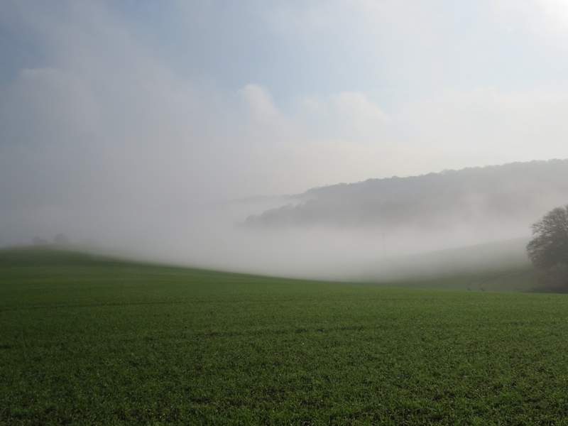
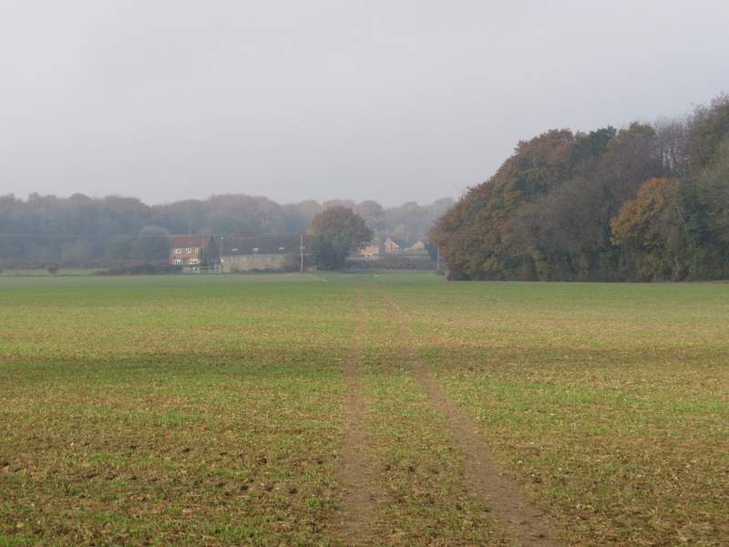
Looking back from near the far side of the huge arable field - this is the closest to a 'cloud inversion' that I've seen on any of my walks in the Chilterns
The path continuing towards Little Kingshill
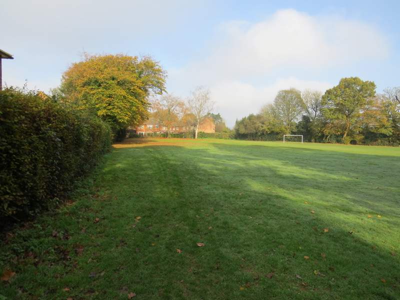
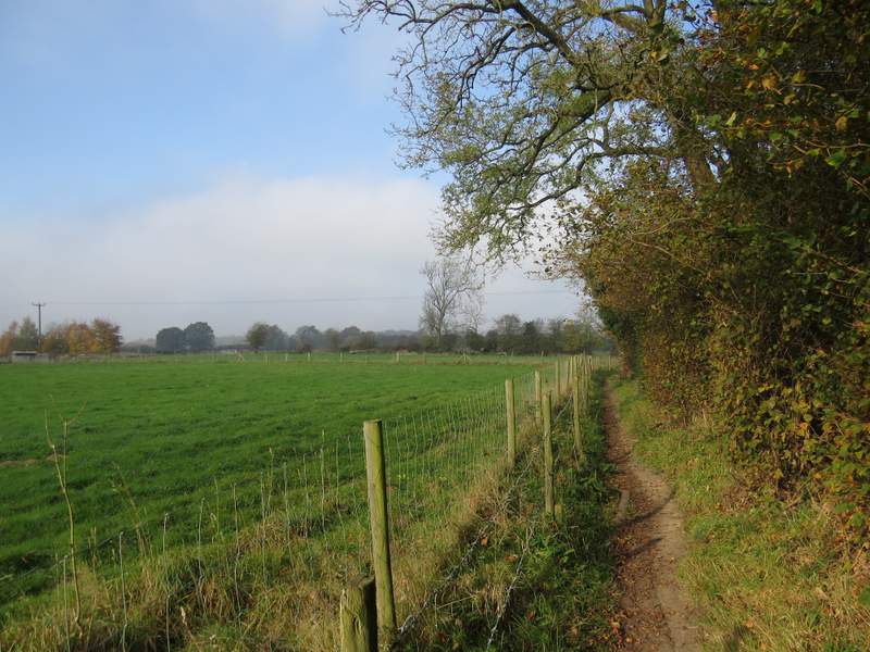
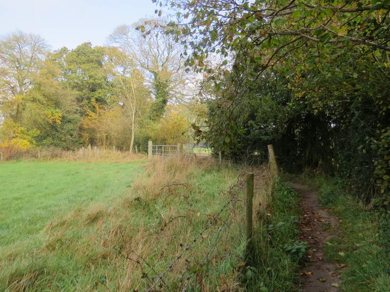
I turned left and followed the road through the village for about half a mile until I reached a playing field on my right. I continued past a bus stop and turned right along the far side of the playing field, carrying on a few yards to reach another road. Across this I walked immediately in front of the Full Moon pub (some of the staff on a cigarette break gave me a friendly 'Hello'), the path then continuing between fences and hedges, almost immediately leaving Little Kingshill. The fog had now gone as I followed the path for several hundred yards past two or three fields on my left (in one, every member of a flock of sheep stared at me curiously for some reason). On reaching Sandwich Wood, the Chiltern Heritage Trail immediately forked left, staying close to an edge of the wood on my left. It then went half-left across an arable field, aiming towards the left end of a tree belt, then continued along a headland between fields to reach a gate by Nairdwood Farm and Nags Head Lane.
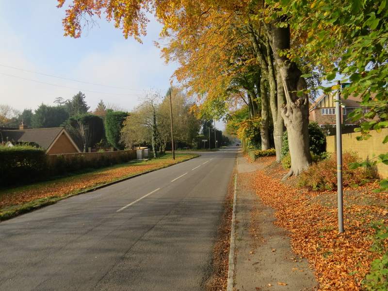
The road through Little Kingshill
The road through Little Kingshill
The path beside the playing field, Little Kingshill
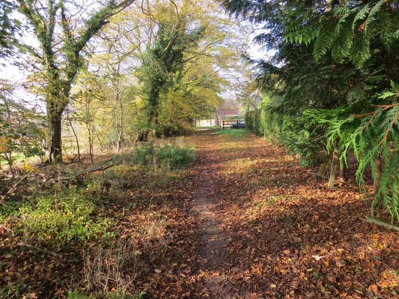
The path from Little Kingshill to Sandwich Wood
The path from Little Kingshill to Sandwich Wood
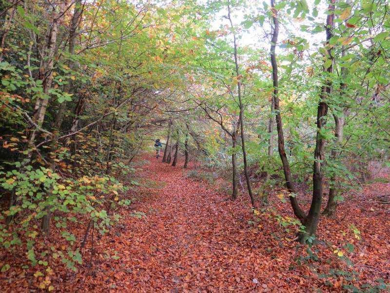
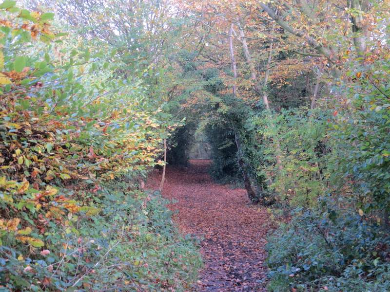
The path through Sandwich Wood
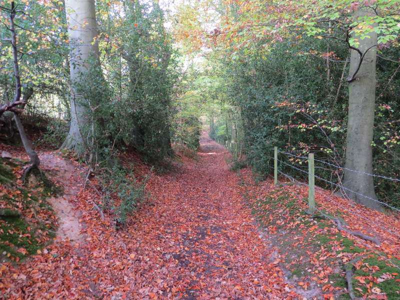
The path continuing from Sandwich Wood towards Nairdwood Farm
I turned right down the lane, and after maybe quarter of a mile I turned left into another lane (I was surprised the Chiltern Heritage Trail guidebook said this was a lane as I thought it was just the drive to Sedges Farm, but looking on the OS map the guidebook is correct). After a few hundred yards the lane ends where the drive to Sedges Farm goes right, and here I continued staright on along a tree-lined bridleway heading to Atkins Wood.
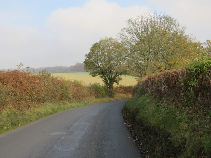
Nags Head Lane
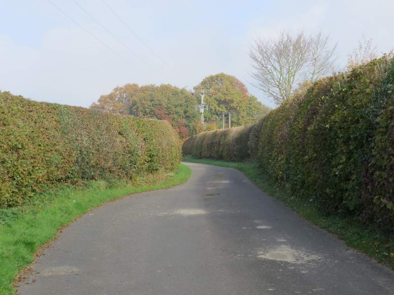
The lane to Sedges Farm
The bridleway to Atkins Wood
The bridleway to Atkins Wood