Pete's Walks - Pitstone Hill, Dagnall, Ashridge (page 5 of 5)
If you are considering walking this route yourself, please see my disclaimer. You may also like to see these notes about the maps and GPX files.
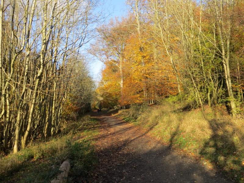
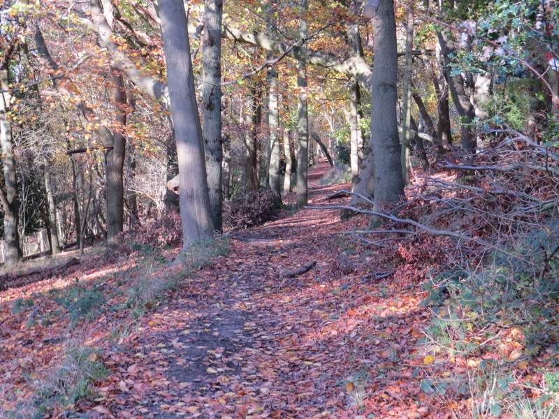
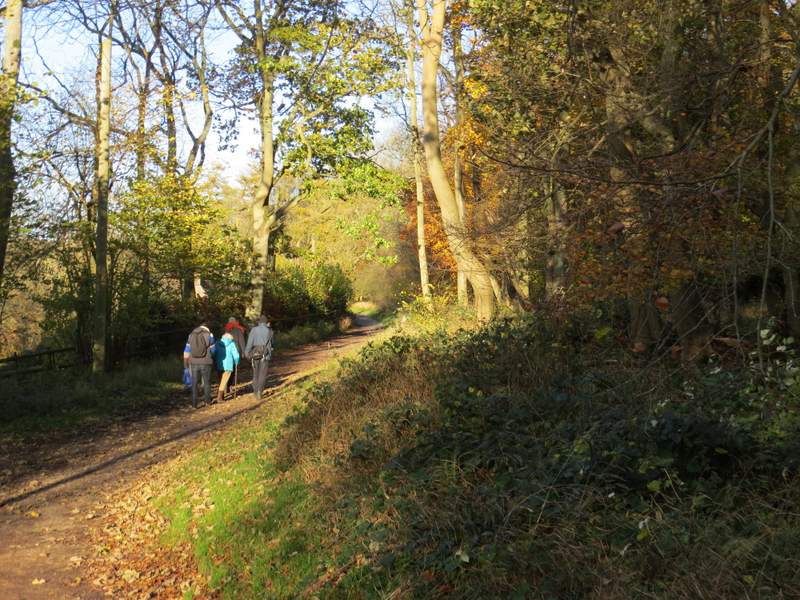
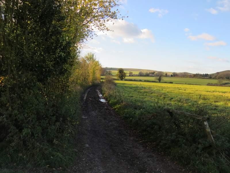
There were a few other people along this bridleway (it leads to the Bridgewater monument, where there is a National Trust tea-shop and lots of parking). Partway along it there was a nice viewpoint where the trees to my left had been cleared, looking out over Aldbury and its surroundings. Further on I went straight on where the bridleway merged with another one coming up from Aldbury on my left. After another hundred yards or so, I forked left at a less obvious bridleway junction. This bridleway ran fairly level through the woods below the Bridgewater Monument, somewhere up to my right. I saw another group of four Fallow Deer here
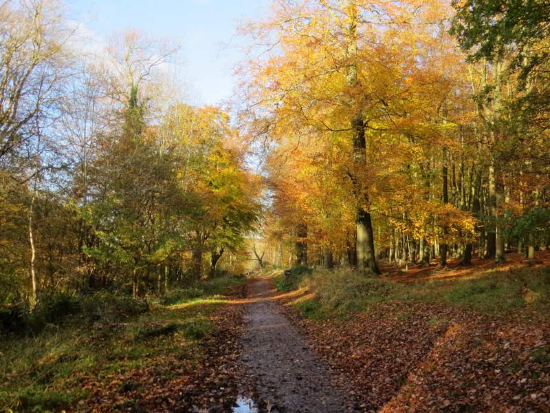
The bridleway heading towards the Bridgewater Monument
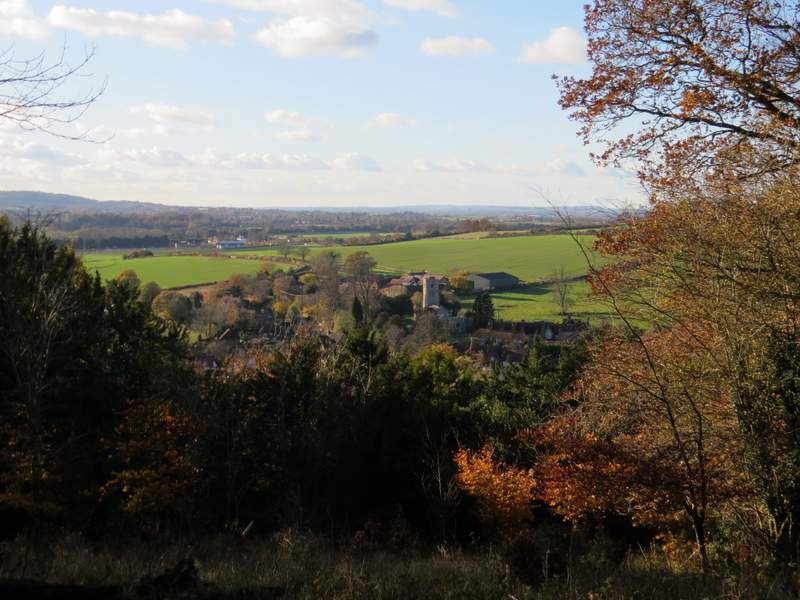
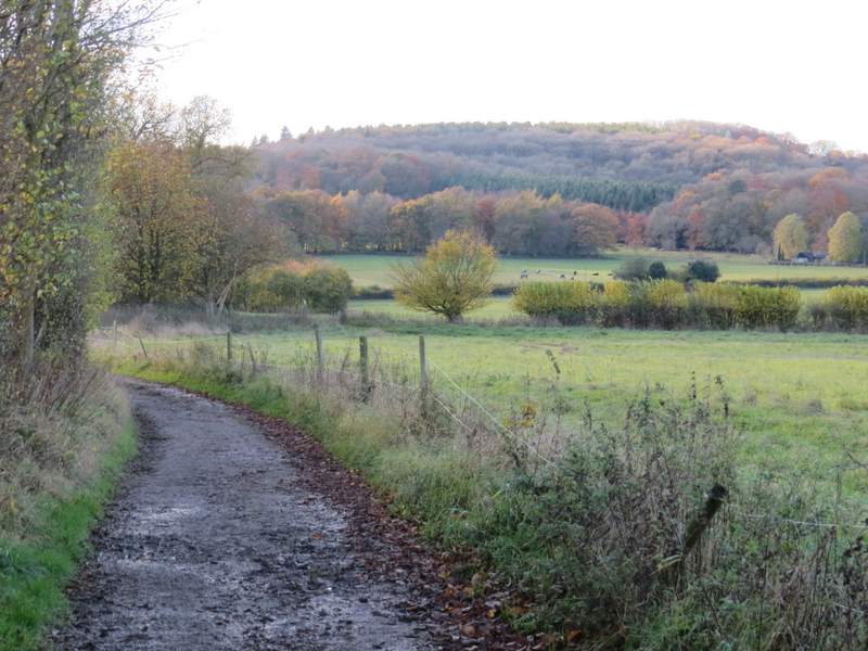
View left over Aldbury
The bridleway heading towards the Bridgewater Monument
The bridleway heading towards the Bridgewater Monument
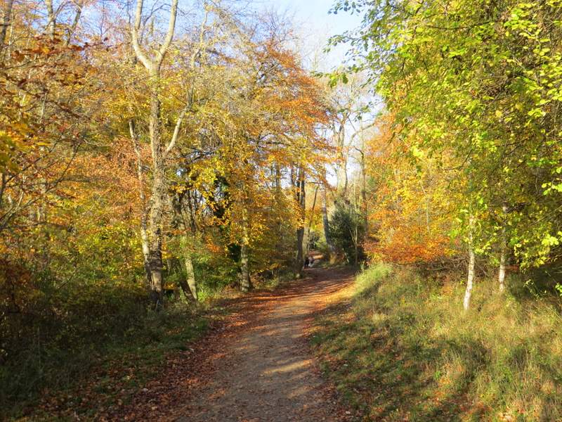
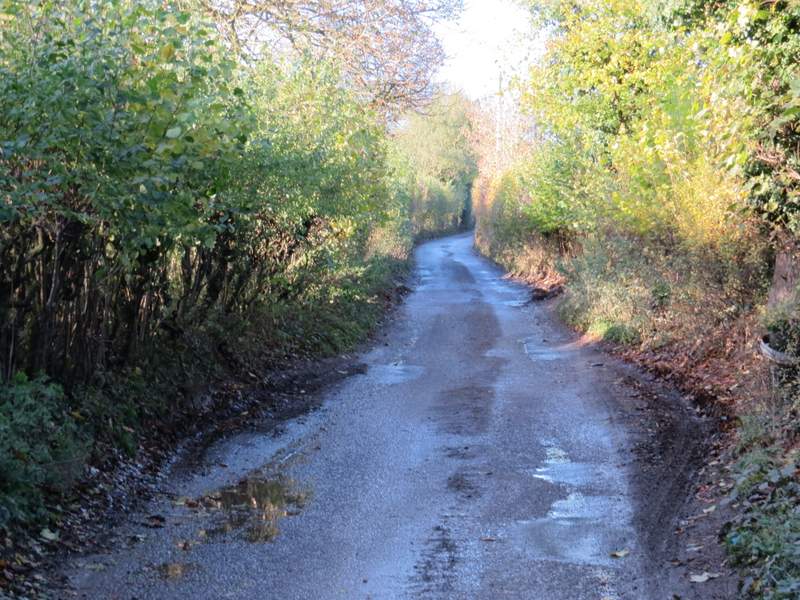
The bridleway after I forked left
After a while I reached a drive, where the bridleway went more or less straight on, passing the garden of a property named Tim's Spring on my left. Just beyond the garden, a path came in from the right and the bridleway turned slight left and started to descend a hillside. It turned further left at the bottom of the slope, and followed a track for a few hundred yards to reach a stables and a lane.
The bridleway after I forked left, passing the cottage named Tim's Spring
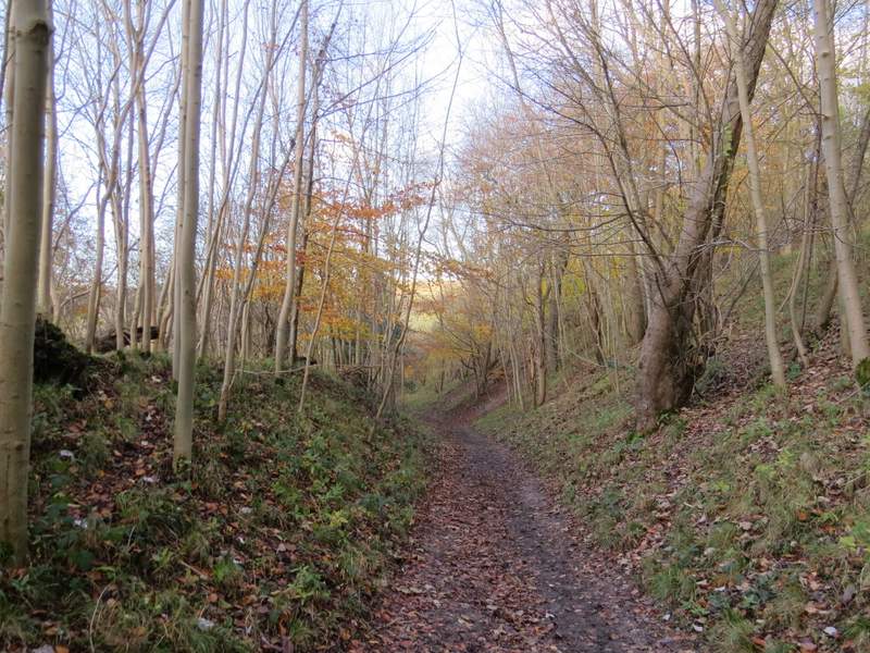
The bridleway now descending through the woods
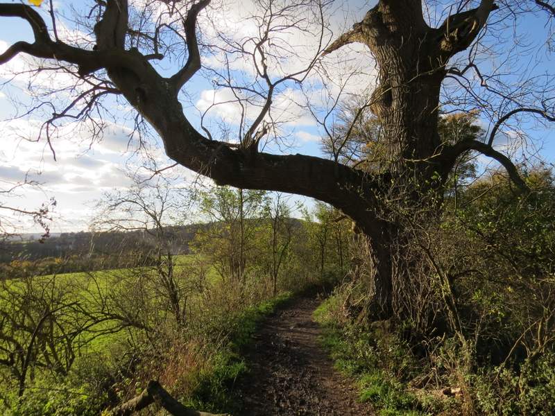
The bridleway continuing towards the stables, passing a huge old Ash tree
The bridleway continuing towards the stables
The bridleway continuing towards the stables
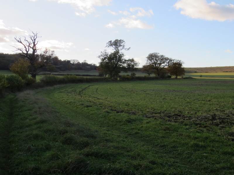
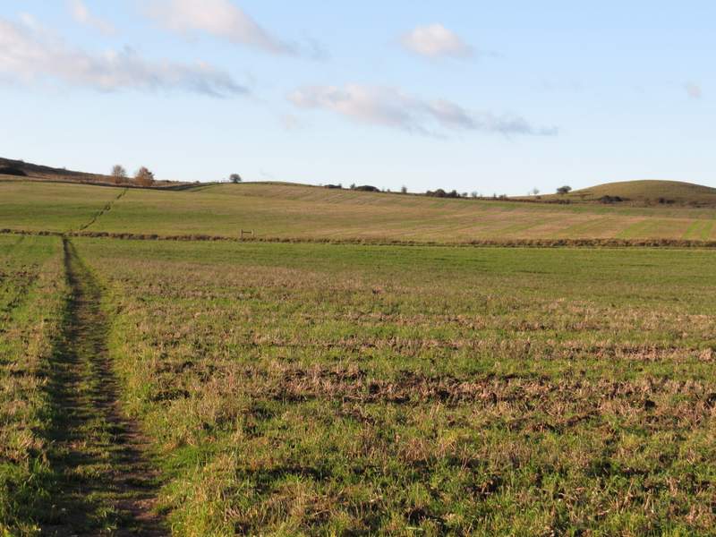
I turned right and followed the lane for about a quarter of a mile or so, before taking a path on the left. This followed a tall hedgerow on my left, which after a while gradually curved right. The path then continued across a couple of stubble fields, where I saw some Common Toadflax still in flower. On reaching the edge of the second field, the path turned half-right along the edge of the field to reach some open downland near Pitstone Hill. Here I turned right and made my way to the top of a hillock, descending the other side to reach the car park where I'd started.
The lane heading towards the Pitstone Hill car park
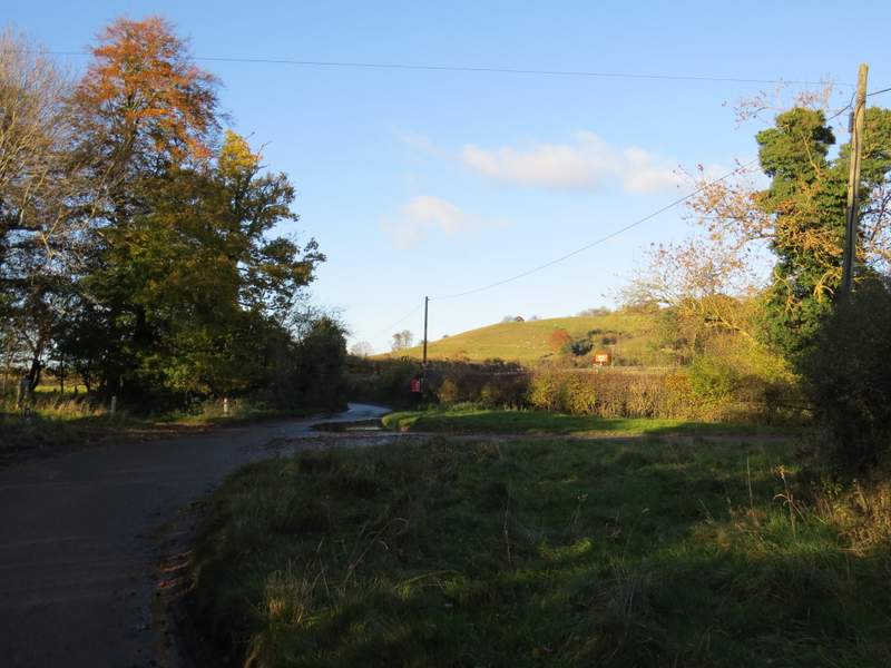
The lane heading towards the Pitstone Hill car park
The start of the footpath going left from the lane
Further along that path
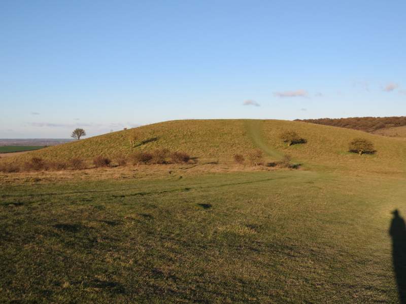
The hillock behind the Pitstone Hill car park
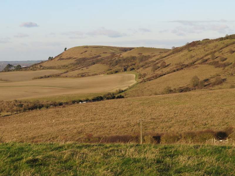
View towards Ivinghoe Beacon from the hillock (the Pitstone Hill car park is behind the gate in the bottom left of the photo)
It was a lovely day for a walk, despite the strong and very cold wind (the wind had died down in the afternoon but was just picking up again as I finished the walk). The highlight of the walk was walking through the beech woods in the afternoon sunlight, the colours were really lovely and my photos don't really do them justice. I enjoyed the walk a lot, but would change the route in a couple of places if I did it again. When I first did this walk, my aim was to include a couple of paths I'd not walked before. Neither of them are especally interesting and I'd use better alternatives if I did the walk again. I'd omit the stretch from the tumulus on Gallows Hill to Dagnall, instead making my way to Ward's Hurst Farm and then down to Dagnall past Hog Hall. Then at the end, I'd turn off the bridleway a few hundred yards before the stables, and go right to join the drive from Dunscombe Farm. Turning right at the end of the drive would shorten the bit of lane walking.