Pete's Walks - Maidensgrove and Turville Heath (page 4 of 4)
If you are considering walking this route yourself, please see my disclaimer. You may also like to see these notes about the maps and GPX files.
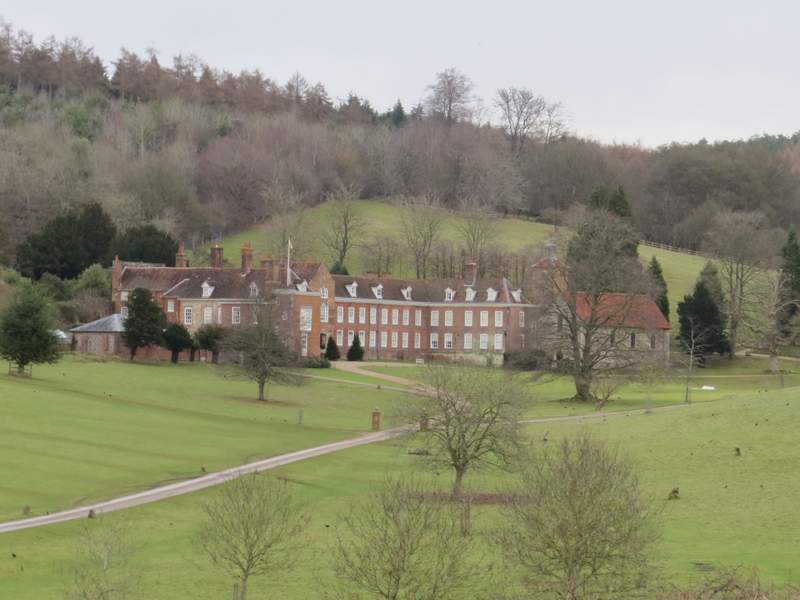
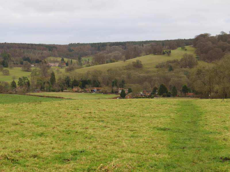
The path continued very gently downhill through the deer park, initially through more woodland then through typical parkland of grass and scattered trees. I soon saw the outbuildings of Stonor House on my right, and further on the grand house itself came fully into view, with its ancient chapel at the front and its formal gardens to the rear. There was also a fine view looking half-right towards Pishill and Pishill church, where I'd been earlier. Despite having walked this path 5-6 times last year and a similar number of times this year, I'm not in the least bored with it and it's still one of my favourite paths in the Chilterns (though it's much better in this direction, as it's downhill and the best views are ahead of you). When I eventually reached the end of the deer park, I turned left to follow the road through Stonor.
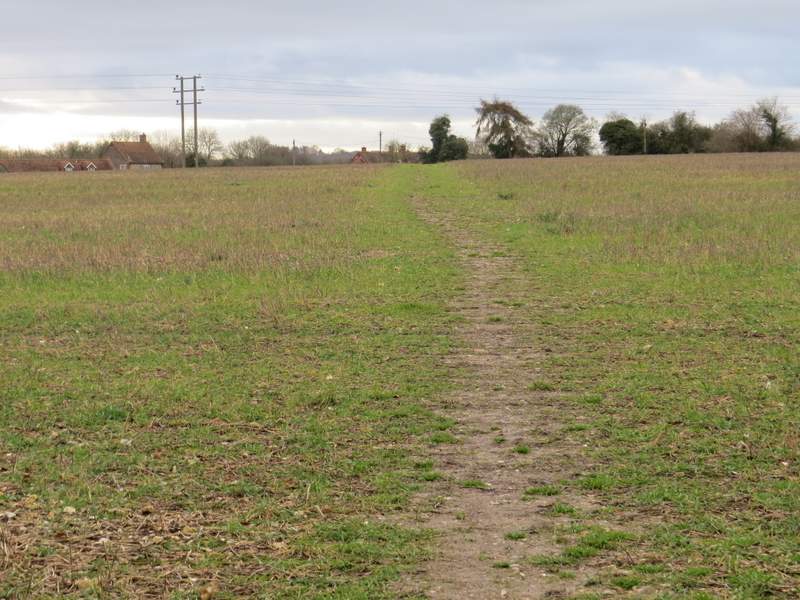
The path continuing through Stonor Park
The path through Stonor Park
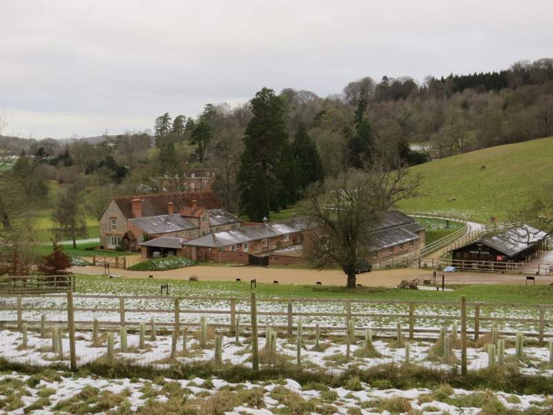
View over the outbuildings of Stonor House
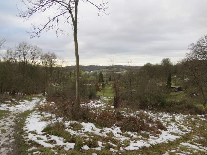
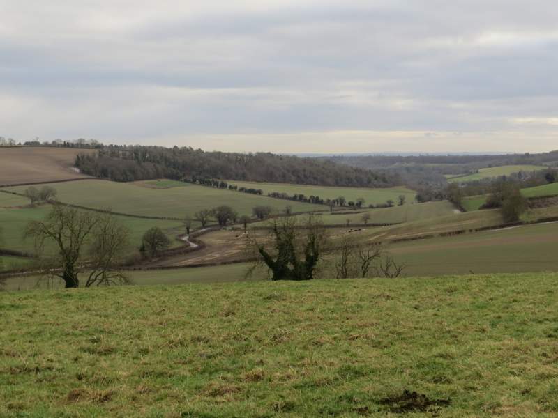
View over the deer park, looking towards Pishill
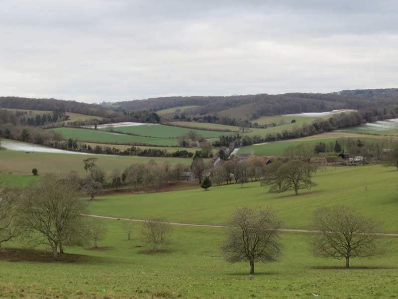
View towards Pishill church from the deer park
The path through Stonor Park
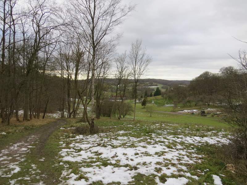
Looking back to Stonor House
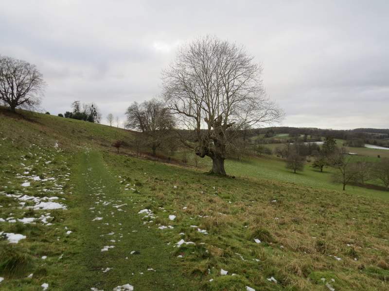
Approaching the end of the path through Stonor Park
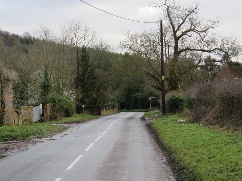
The road through Stonor
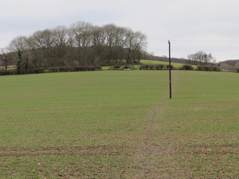
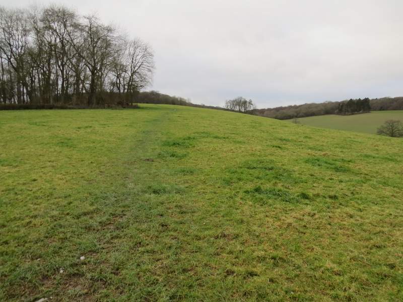
I went straight on where a lane went right (to Maidensgrove), then after another one or two hundred yards I turned right, onto a path that initially ran between garden fences. The path then crossed a field, going slightly uphill (this was muddy and slippery), and then steepened as it continued uphill through a large pasture, passing a small copse on my left. The path then entered Park Wood, the gradient now easing. Beyond the wood I crossed a flat arable field (I'm always surprised that anything can grow amongst the huge number of flints in the field), turning left on the far side to reach the end of a lane by the entrance to Lodge Farm. I turned right and followed the lane until it turned right, where I bore left along a track to reach a corner of Maidensgrove Common. I continued along the left edge of the common to reach the lane that crosses it, where I turned right to return to my car.
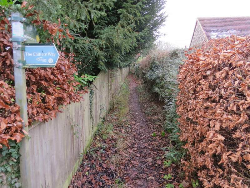
The start of the path from Stonor to Maidensgrove
The path from Stonor to Maidensgrove
The path from Stonor to Maidensgrove
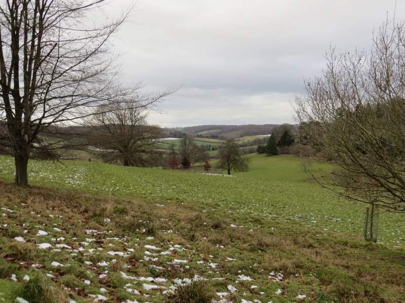
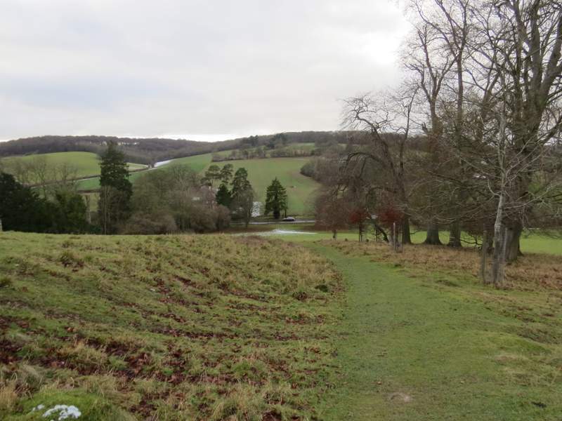
Looking left (south) along the Stonor Valley
Looking back over Stonor, towards Stonor House and its deer park
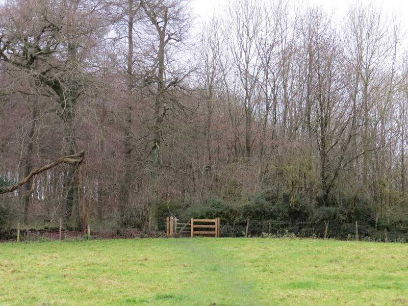
Approaching Park Wood
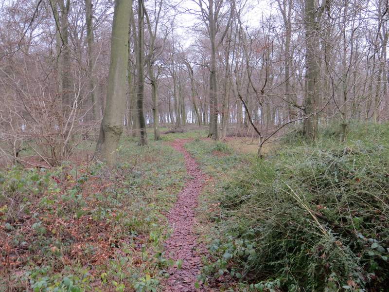
Park Wood
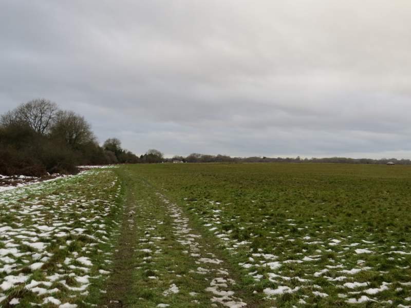
The path continuing from Park Wood towards Lodge Farm. Maidensgrove (as usual, there was a bumper crop of flintstones in this field)
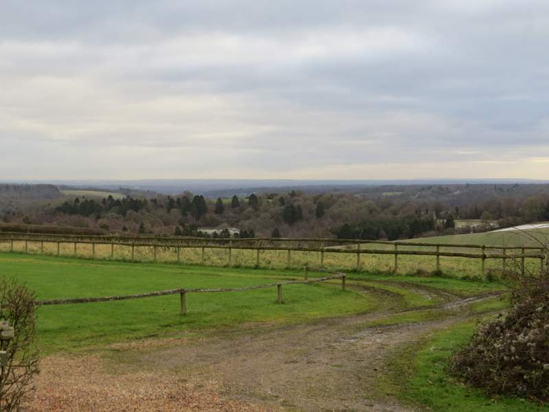
View towards the Thames valley and beyond, from the entrance to Lodge Farm
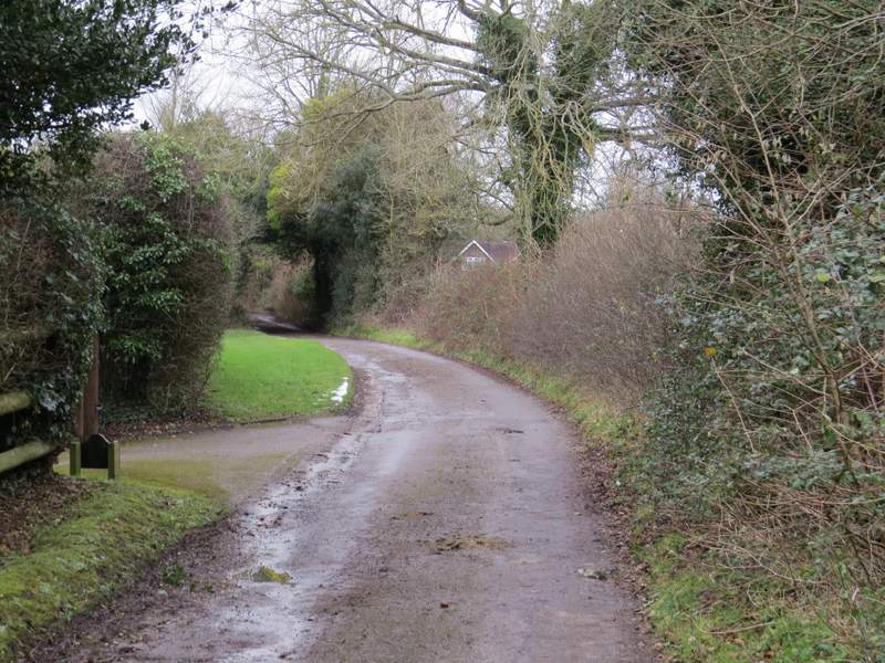
The lane in Maidensgrove
Maidensgrove Common
As it happened, there was no more snow (though it remained pretty grey for much of the time), but there was a lot of rain as I drove home so it was probably a good job that I shortened the route (even more than I'd intended to). It was still a very pleasant route, I'd be happy to do it again if I ever wanted to do about 9 miles walking in this part of the Chilterns again (though this is unlikely, unless I'm recovering from something, as if I drive all the way to Maidensgrove I usually want to walk for 5-6 hours). There was a fair amount of ups and downs, a decent mixture of woods and fields, plus the park around Stonor House, and some nice views (though they weren't at their best in today's conditions). For me, the highlight was the view towards Fingest from the edge of Summerheath Wood, which I'd not seen before.