Pete's Walks - Pitstone Hill, Dagnall, Ashridge (page 4 of 6)
If you are considering walking this route yourself, please see my disclaimer. You may also like to see these notes about the maps and GPX files.
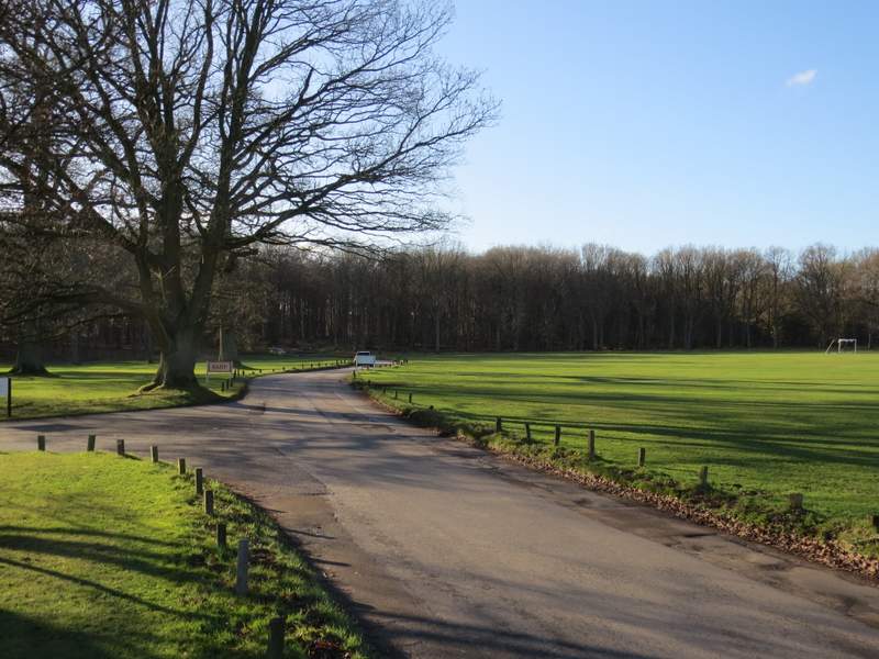
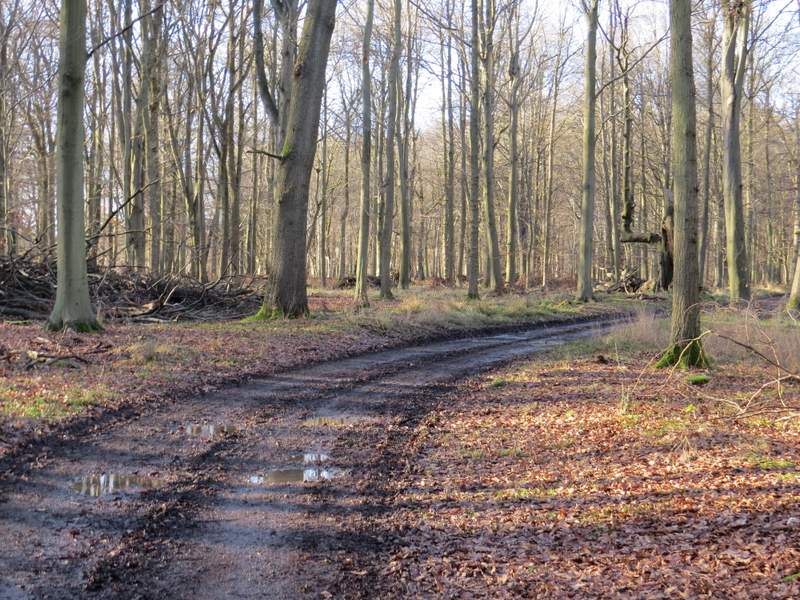
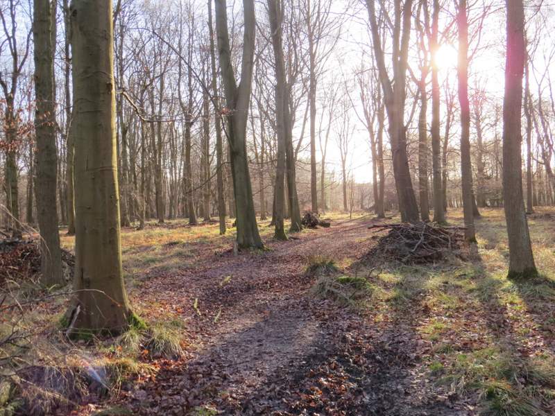
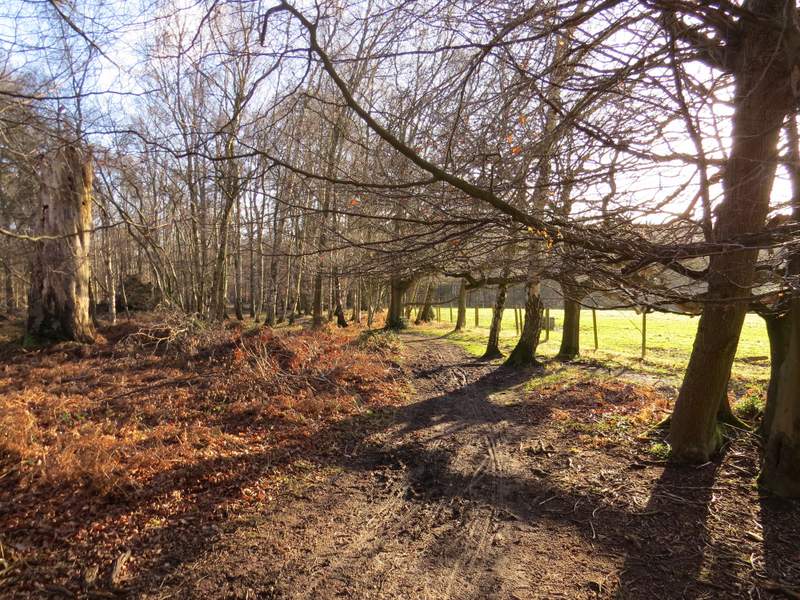
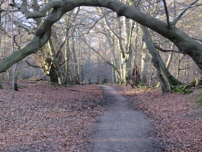
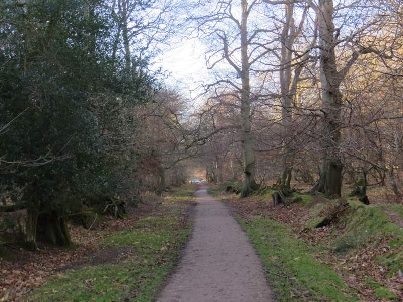
I went a few yards left along the road and took a path on the other side, that went down a track and descended through woods, initially beside a flint wall on my left. The track turned right, and continued down to the bottom of a valley (Golden Valley), a broad grassy swathe topped by woods on either side. I turned right along a track, then turned left after a hundred yards or so onto a crossing footpath. This led slightly uphill through the woods to reach a drive close to Ashridge House (I think it's a management college nowadays). When I first did the original version of this walk in 2009 I followed the drive that crosses immediately in front of the grand house, but today I chose to go right, to reach a white gate and a T-junction, where I turned left. Following this drive, a little further from the house, gave me a better opportunity to photograph it.
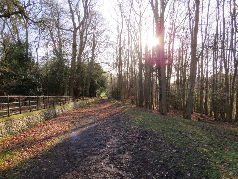
The path down to Golden valley
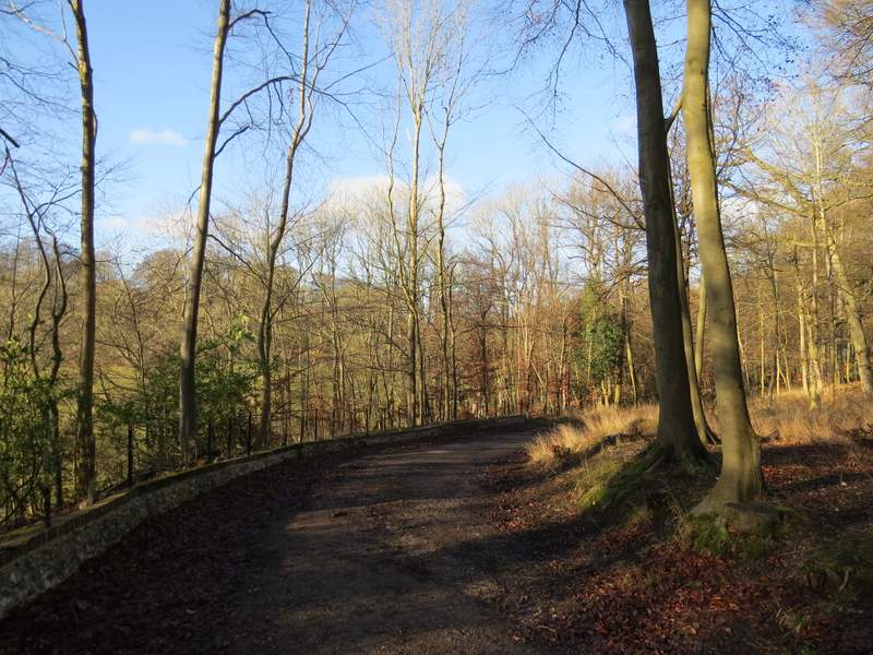
The path down to Golden valley
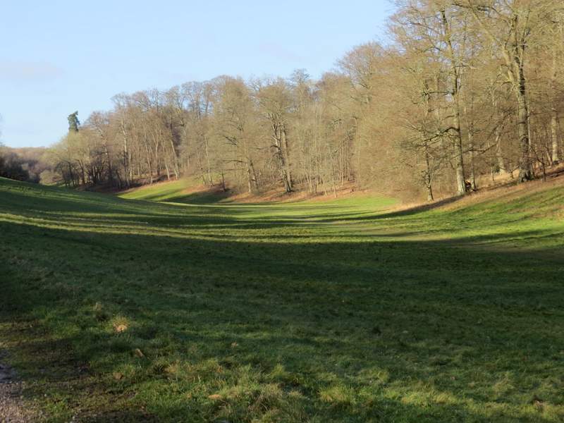
Golden Valley)
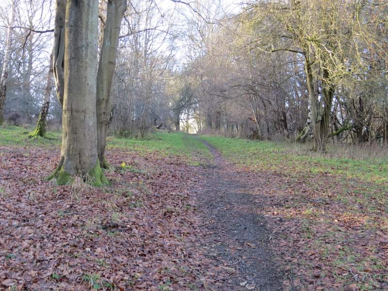
The path after I turned left from Golden Valley
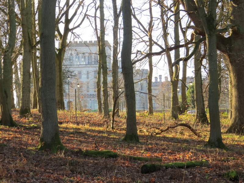
Part of Ashridge House, glimpsed through the trees
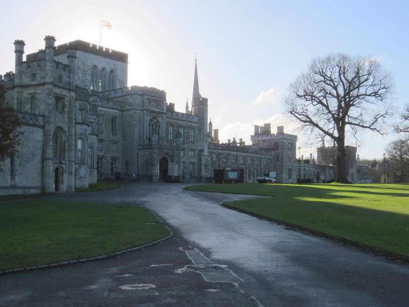
Ashridge House
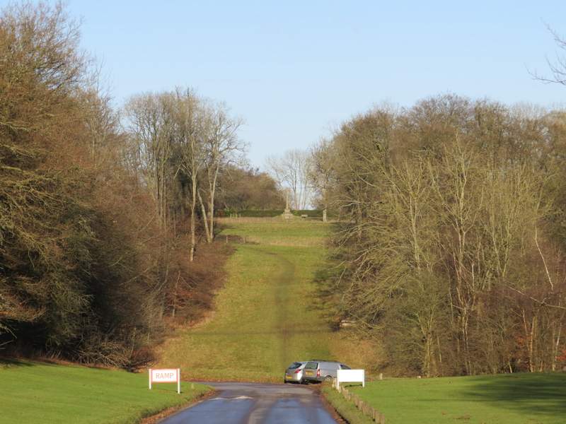
From the white gate at the junction of drives near Ashridge House, looking along a 'ride' to a cross at Little Gaddesden
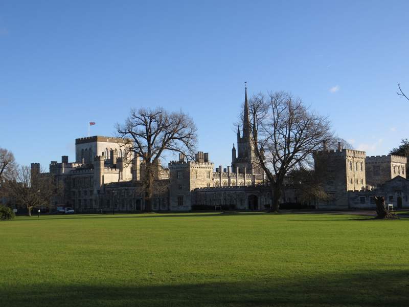
Ashridge House
The drive continuing from Ashridge House
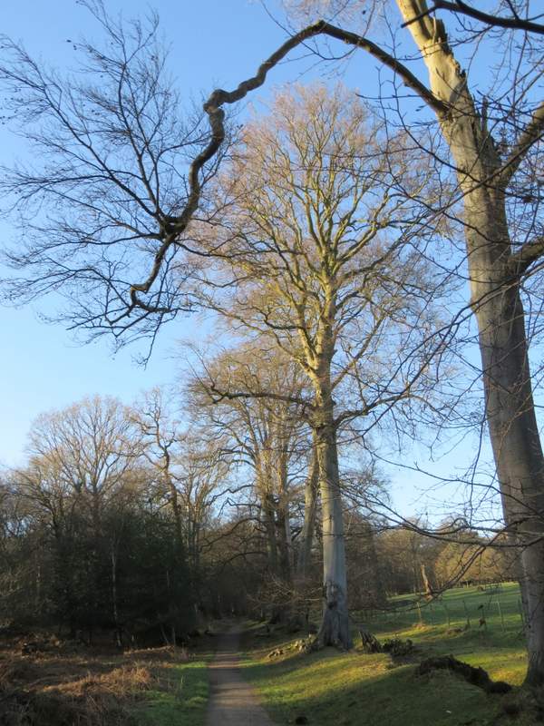
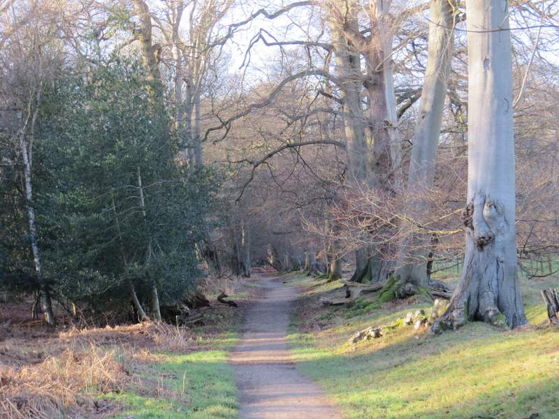
After a few hundred yards, where the drive turned slightly left to head into more of the woods, I went straight on along a track that also entered the woods. After a few hundred yards I went left where a path crossed the track, continuing through the woods. After a while I had a huge cattle enclosure (surrounded on all sides by the woods of Ashridge) on my right (actually the public footpath goes through the end of the pasture, but there is a clear path just running through the woods next to the fence). On reaching a corner of the cattle pasture, just before some cottages, I turned right. I followed a short and muddy path, still with the fence around the pasture on my right. This path soon merged with a bridleway, continuing along a line of fine beech trees (it was very slow going here, I was stopping every few yards to take a photo of the gorgeous trees!), with the pasture on my right and the woods extending to my left. After several hundred yards I reached the far end of the pasture on my right, where the bridleway continued ahead along a fine avenue of beech trees to reach the road from Ringshall to Northchurch.
The track into the woods
The path after I turned left
The path continuing past part of the large pasture
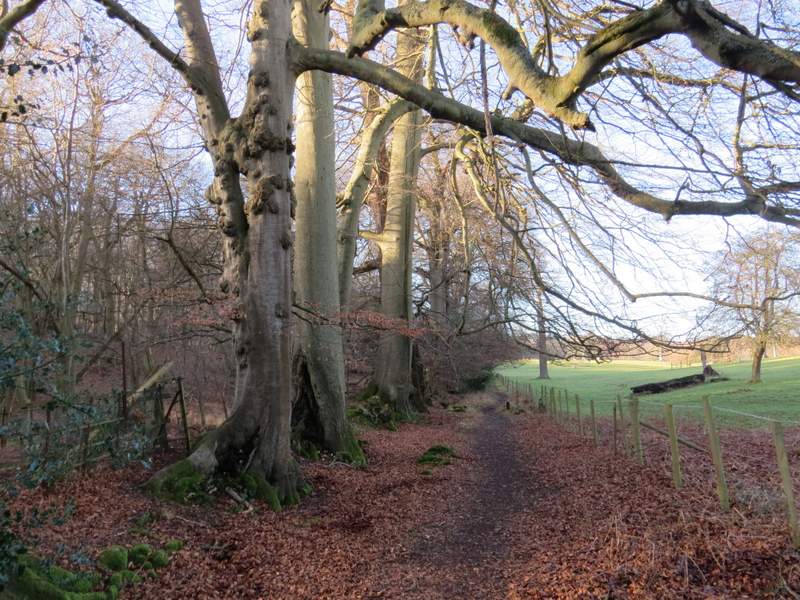
The bridleway after I turned right, running alongside the large pasture
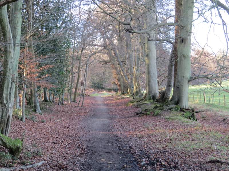
Beech trees along the bridleway
Beech trees along the bridleway
Beech trees along the bridleway
Beech trees along the bridleway
The bridleway approaching the Ringshall-Northchurch road
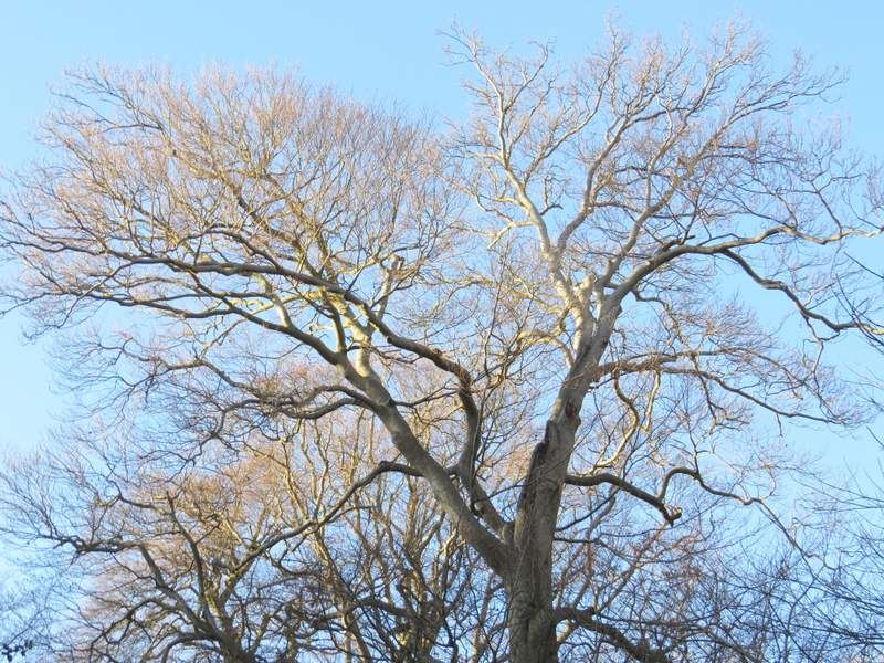
Beech trees