Pete's Walks - Pitstone Hill, Dagnall, Ashridge (page 6 of 6)
If you are considering walking this route yourself, please see my disclaimer. You may also like to see these notes about the maps and GPX files.
After a while I reached a drive, where the bridleway went more or less straight on, passing the garden of a property named Tim's Spring on my left. Just beyond the garden, a path came in from the right and the bridleway turned slightly left and started to descend a hillside. It turned further left at the bottom of the slope, and followed a track between hedges for a while. Just after the hedge on the right finished, I varied from my original route for the second time by turning right and following a footpath across a field. Through a hedge gap on the other side, the path turned half-left across a larger field. On the far side I reached a drive or lane coming from Duncombe Farm (to my right) where I turned left. After I passed a footpath going right after a couple of hundred yards I was on unfamiliar territory, I think I've only walked the rest of this drive or lane once or twice before. I was surprised how far it was to the lane junction at the end of the drive, where I rejoined my original route and turned right - I thought the alternative way I went today was roughly just going round the other two sides of a rectangle compared to my original route, but now looking at the OS map there is quite a curve in the drive making this option a little longer.
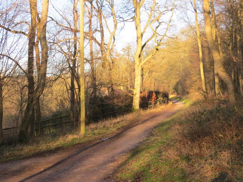
The bridleway continuing past a property on the left named Tim's Spring
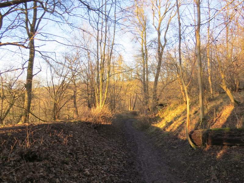
The bridleway as it starts to descend
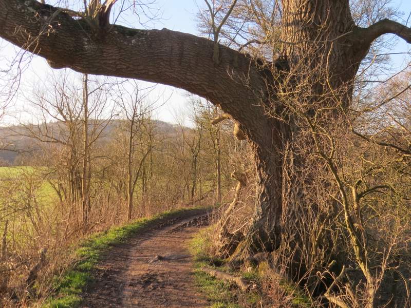
Old Ash tree, near the foot of the slope
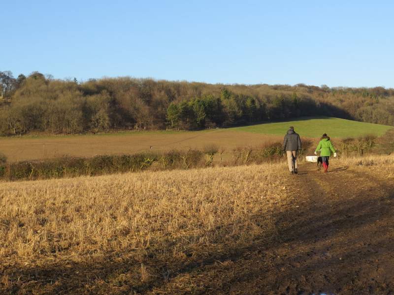
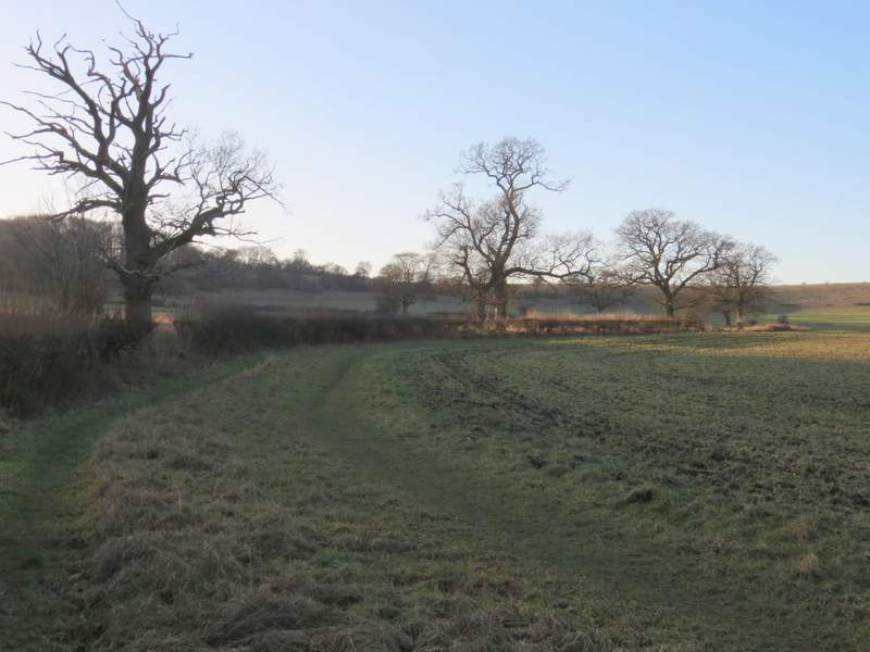
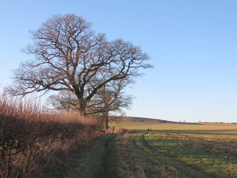
The path after I turned right
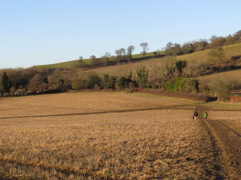
The path after I turned right
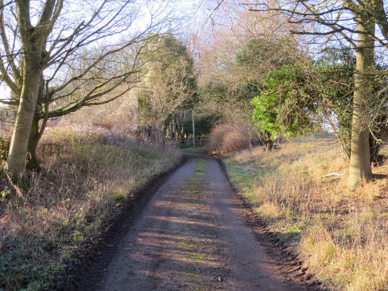
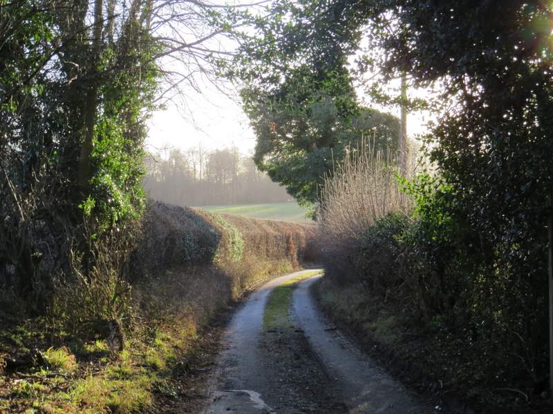
The drive from Duncombe Farm
The drive from Duncombe Farm
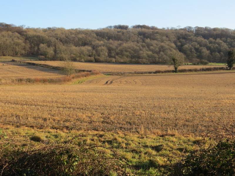
Looking back towards part of Ashridge
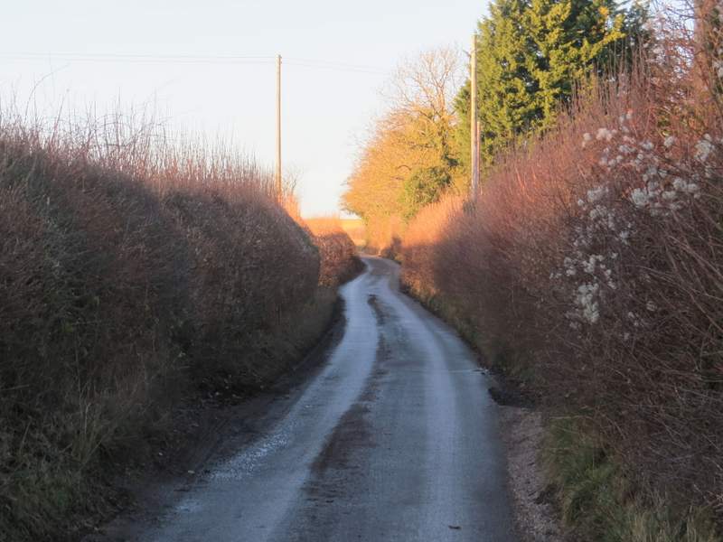
The drive from Duncombe Farm
I followed the lane for about a quarter of a mile or so, before taking a path on the left. This followed a tall hedgerow on my left, which after a while gradually curved right. The path then continued across a couple of stubble fields. On reaching the edge of the second field, the path turned half-right along the edge of the field to reach some open downland near Pitstone Hill. Here I turned right and made my way to the top of a hillock (I could have just followed a path round to the right), descending the other side to reach the car park where I'd started.
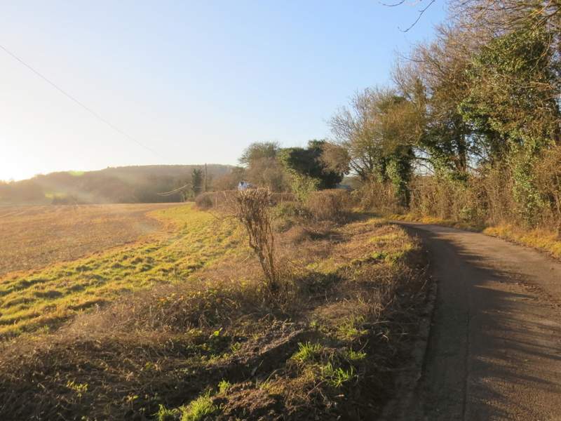
The short lane section (the next path I took is on the left, roughly where the lane goes out of view in this photo)
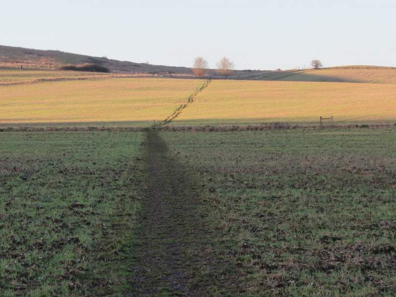
The path after I turned left
The path after I turned left
The path after I turned left
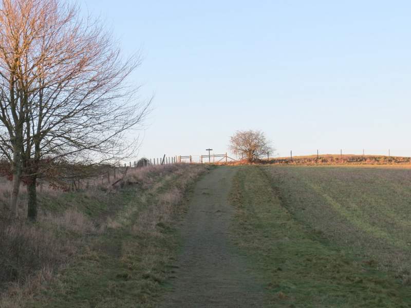
The path after I turned left
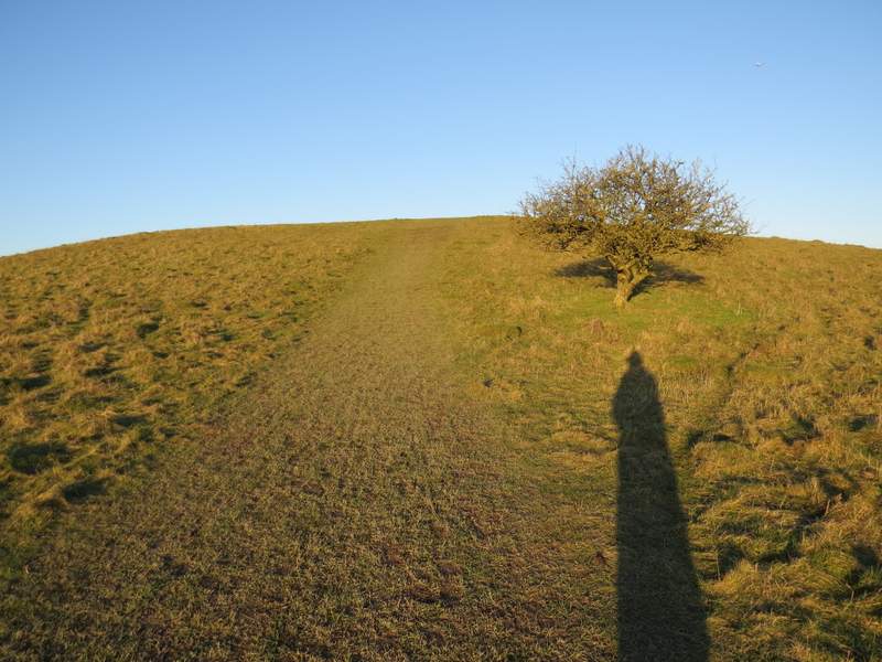
The path up the 'hillock'
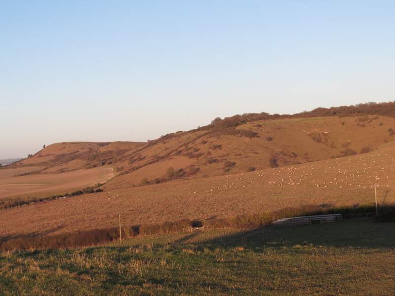
View from the 'hillock' towards Ivinghoe Beacon and Steps Hill
It was a lovely day for a walk, despite the cold. I really enjoyed the walk - I took about 250 photos, which is possibly the most on any of my walks. I think changing the route between Gallows Hill and Dagnall has really improved it - the path from Ward's Hurst Farm down past Hog Hall to Dagnall is one of my favourite stretches of downhill in the Chilterns. The second change I made didn't make that much difference, but I still think I just preferred it to the original route (because it avoided a muddy stable yard and because the drive from Duncombe Farm was slightly quieter than the lane from Aldbury). In fact, I'm already looking forward to doing this walk again sometime!