Pete's Walks - West Wycombe and Moorend Common (page 6 of 6)
If you are considering walking this route yourself, please see my disclaimer. You may also like to see these notes about the maps and GPX files.
The drive led gently downhill with a nice view ahead. I almost went past the waymark post where I needed to take a path on the right, that entered the wood and after a short distance turned left. It exited the wood by the start of a drive (to the Country Sports company) and a road. I went right along the road, immediately crossing the M40 again, and then took a footpath on the left. This started alongside Sandage Wood on my right, then continued beside a hedgerow, all the while with a nice view to my left. When I reached a field corner, the path went right, running through an empty L-shaped paddock where it turned left to follow an edge of the paddock to a stile and a track by Fryers Farm. I went straight on down the track, along a bridleway, passing the farm on my left.
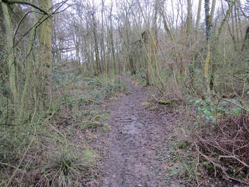
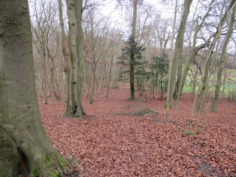
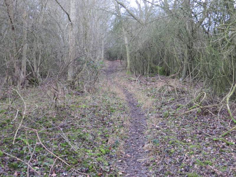
Widdenton Park Wood again
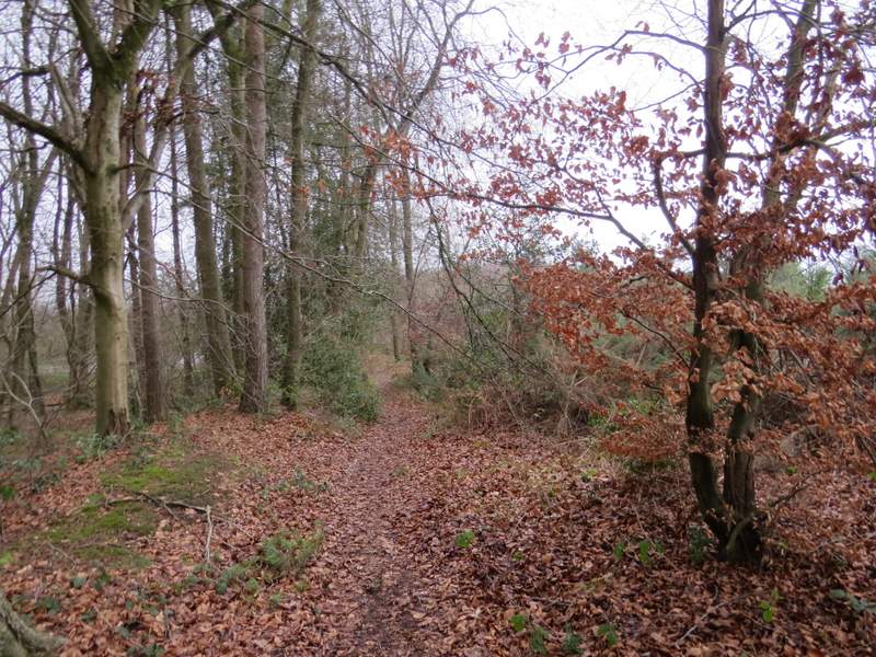
Widdenton Park Wood again
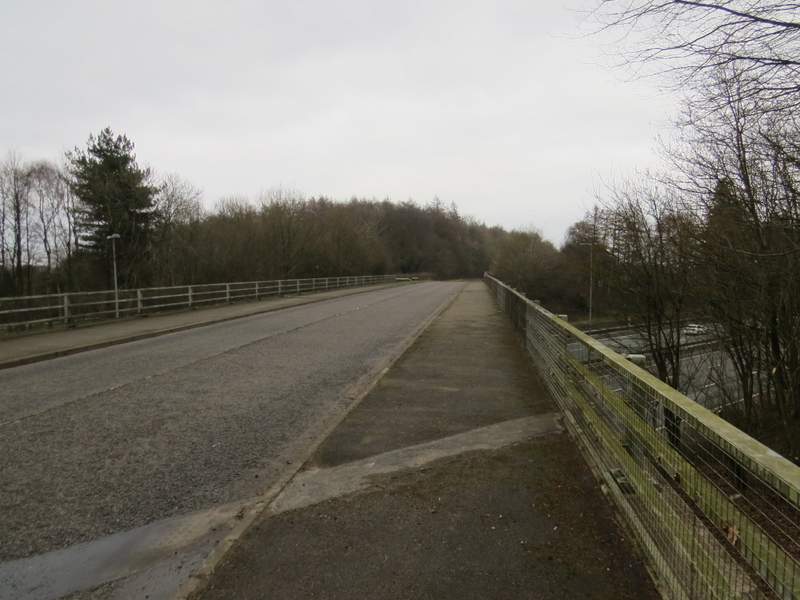
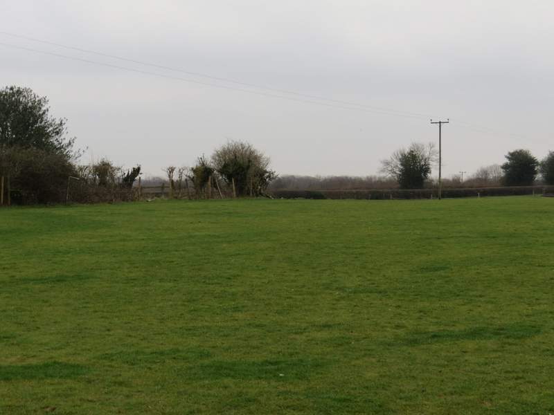
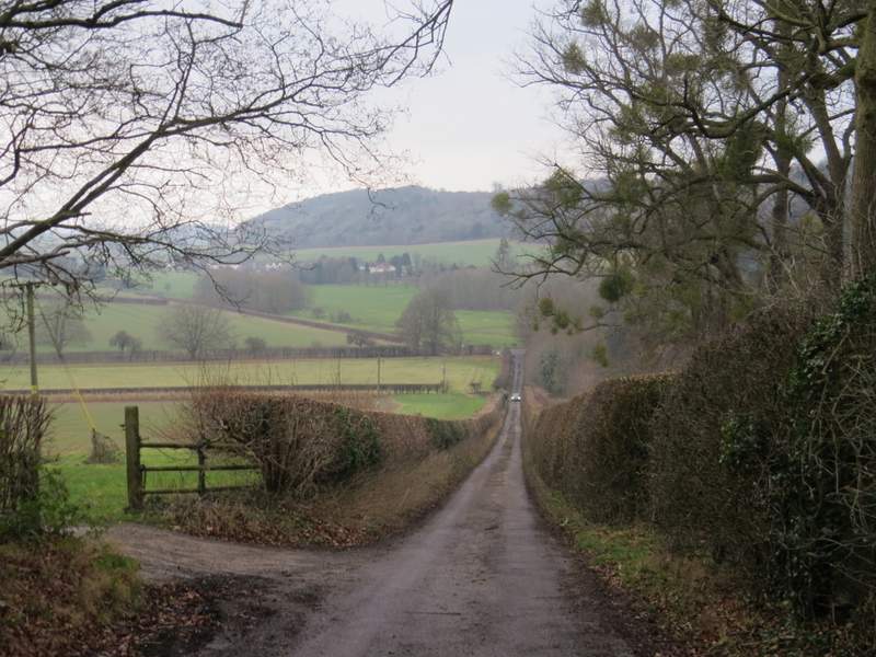
The road crossing the M40 again
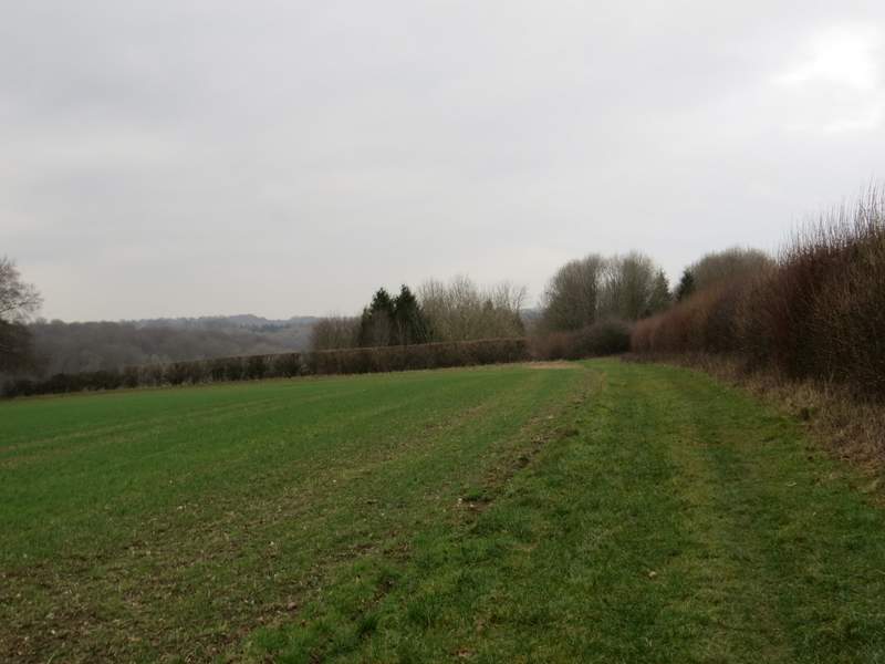
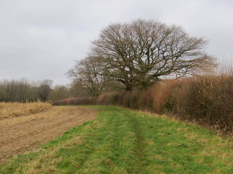
The path on the left, continuing from the edge of Sandage Wood
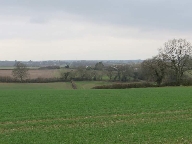
View left from that path
The path continuing through the paddock by Fryers Farm (it turns left by the hedge/fence corner in the middle of the photo)
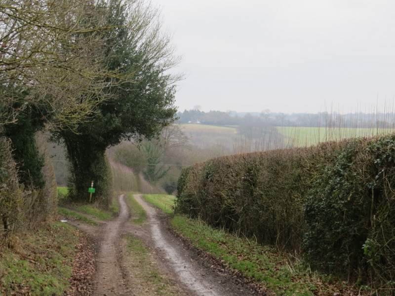
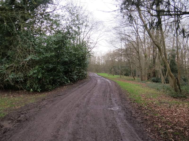
The bridleway from Fryers Farm
The bridleway from Fryers Farm
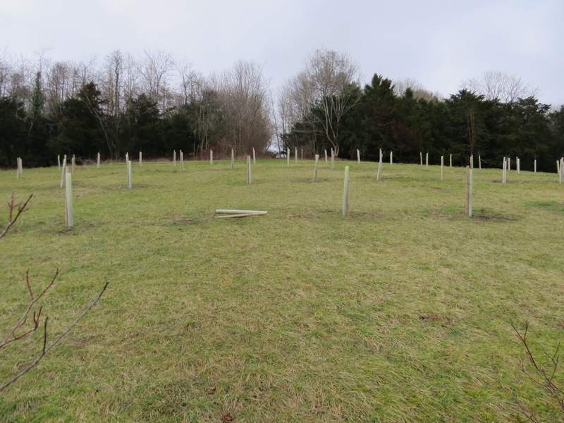
When the bridleway reached the corner of a wood on my left (Hellbottom Wood), I forked slightly left onto a footpath that ran just inside the wood and continued dropping slowly downhill. Near the bottom of the slope a white arrow on a tree showed where the path went right and left the wood. I soon turned left at a gate or stile, going steeply uphill through a grassy area with plastic tubes where numerous trees had been planted. The path then re-entered Hellbottom Wood as it continued uphill - I had to take care to stay on the path and not join a track to the right of it. After leaving the wood, the path levelled out as it followed a hedgerow on my right. It then ran between trees and a cottage garden to reach the lane through Towerage (which rather confusingly is called Toweridge Lane). I turned left and then stayed with Toweridge Lane as it turned right at a junction. It started to go downhill through a wood, then continued downhill between hedges to reach the A40 on the edge of West Wycombe. I turned right to retrace my steps from the start of my walk, turning left at a junction as I entered the village to return to the car park where I'd started.
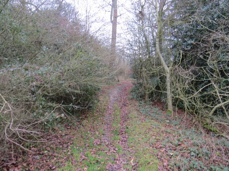
The path through Hellbottom Wood
The path through Hellbottom Wood
The path through Hellbottom Wood
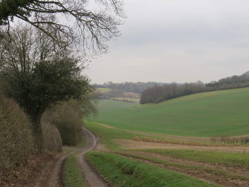
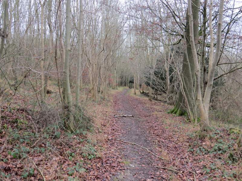
The path continuing to Towerage
The path continuing to Towerage
The path continuing to Towerage
Toweridge Lane
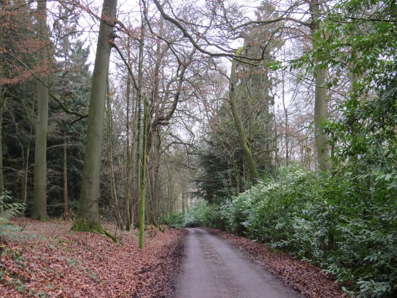
Toweridge Lane
Toweridge Lane descending to the A40 on the edge of West Wycombe (note the masses of Mistletoe in the trees!)
I enjoyed this walk, particularly the bits I'd only walked once in the opposite direction before. The grey conditions weren't ideal and led to some rather dull photographs, but there were still several good views at various points on the route. There was a good mixture of woods and fields, with a couple of commons as well. But I'll always remember this walk for being a 'three deer day', only the second time I've seen Fallow, Muntjac and Roe Deer all on the same day.