Pete's Walks - Hambleden, Medmenham, Colstrope, Fawley (page 1 of 6)
If you are considering walking this route yourself, please see my disclaimer. You may also like to see these notes about the maps and GPX files.
Google map of the walkDownload GPX file of the walk
NOTE: You now have to pay to use the car park in Hambleden. I usually manage to park along the village street to the west of the church (looking at the church from the village centre, take the street on the left and follow it round to the right).
I did this circular walk of about 14.7 miles on Sunday, 28th January 2018. It was very much an exploratory walk, linking up a number of paths I'd never walked before. About 70% of the route was new to me, and another small section I'd only walked once before.
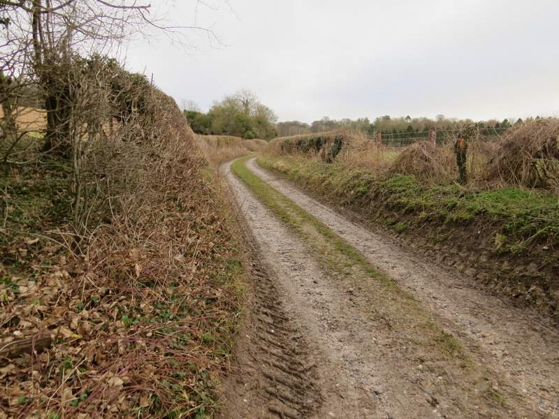
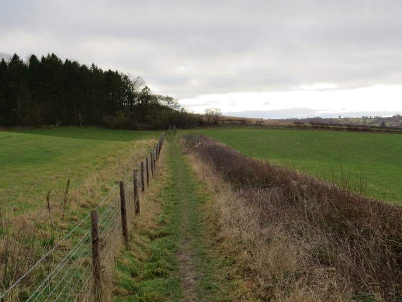
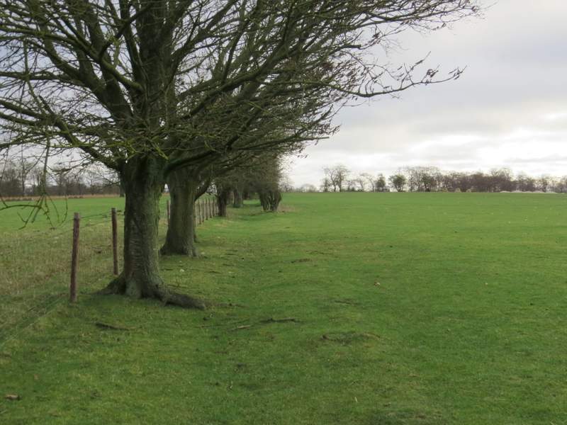
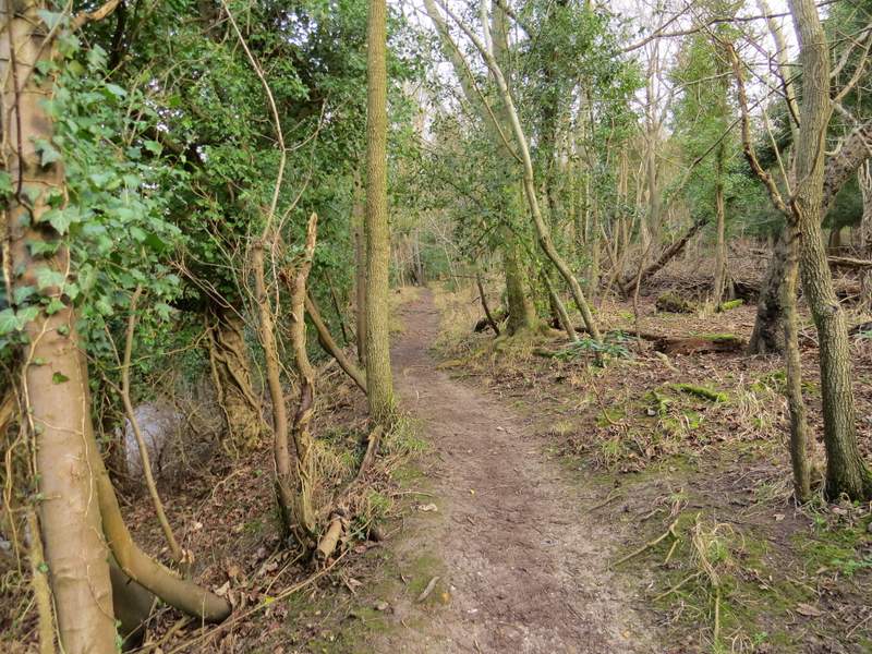
I parked in the car park at Hambleden (grid reference SU 785866), and started walking at roughly 10:15am. From the end of the car park I turned left along a playing field, turning right for a few yards when I reached a hedge, then going through a gap in the hedge and turning right along a track. After about a quarter of a mile I reached a track junction where I turned left, starting the first of the many new paths I'd walk today. The track soon ended (I saw a small number of goldfinches here), but the footpath turned right to run between a fence and a hedge, with green fields either side. On then entering North Cot Wood I quickly came to a path junction, where I continued uphill through the wood rather than take the path leaving the wood on my right. It wasn't very steep through the wood, and after about a quarter of a mile the path ended at a lane. A path continued on the other side, soon turning right (south) and following the edge of Chalkpit Wood on my right for a few hundred yards The path then turned left and entered a very large sheep pasture, going straight on along its left edge. There were some nice views to my right here, over the Thames valley.

The track out of Hambleden
The track where I turned left, the first of many new paths I'd walk today
The path after it turns right, southwards
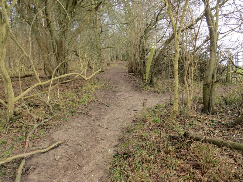
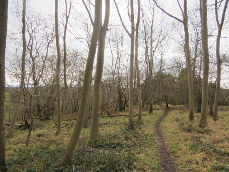
The path junction just inside North Cot Wood, where I continued uphill through the wood
North Cot Wood

Approaching the end of the path where it meets the lane

The path on the other side of the lane, running beside Chalkpit Wood
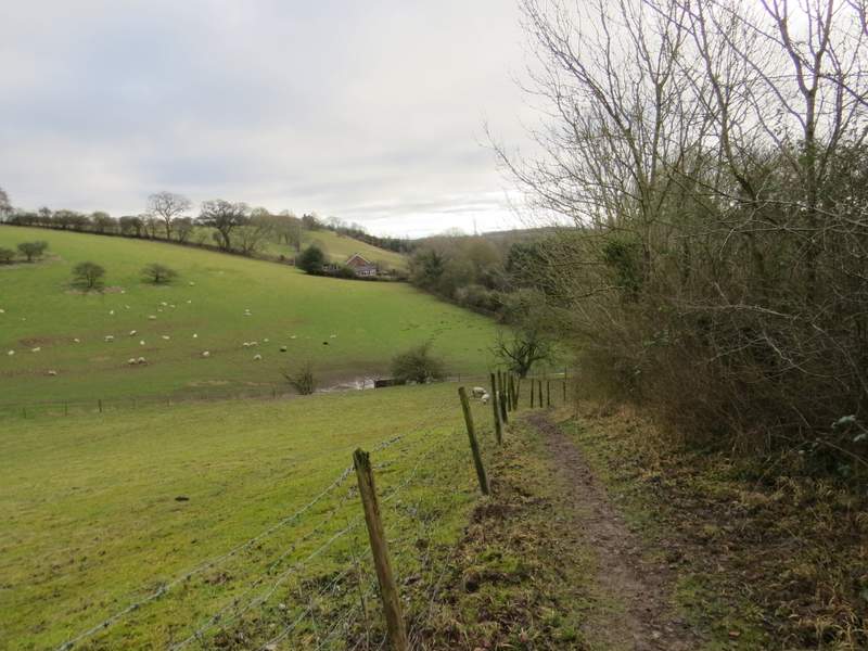
The path after it turns left, running along the edge of a large sheep pasture
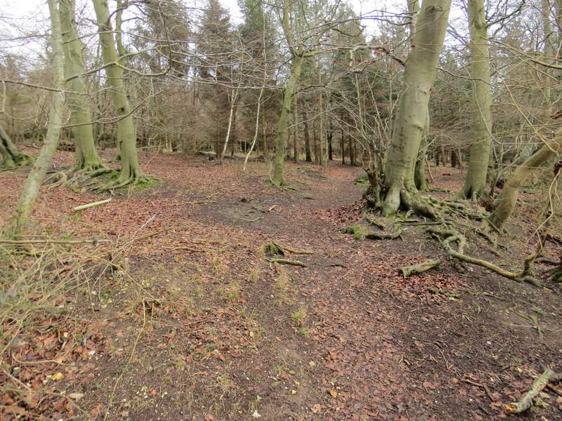
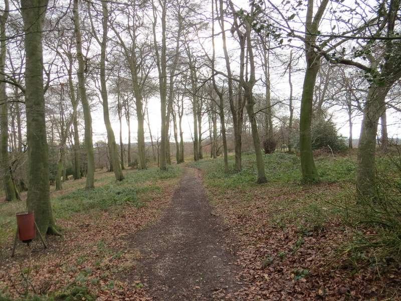
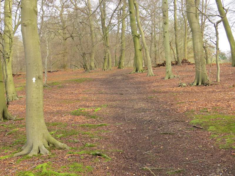
Eventually the path reached Binsfield Wood, where it turned right to head slightly east of south. At one point I came to a three-way fork, where the public footpath took the rightmost path. After a while the path started to drop steeply (the OS map names this Kildown Bank) and another path came in from my right (I'd have come that way if I'd turned right at the path junction just inside North Cot Wood). At the bottom of the slope I reached a main road, where I turned left. One reason I'd not come this way before was because I didn't know if there'd be a path or walkable verge next to this road - fortunately there was a path, which soon brought me to a junction by the Dog And Badger pub in Medmenham. The OS map shows a field to the left of the road as an Open Access area and I'd hoped to walk through it rather than along the road, but there was no way in or out of it from the road, as far as I could see.
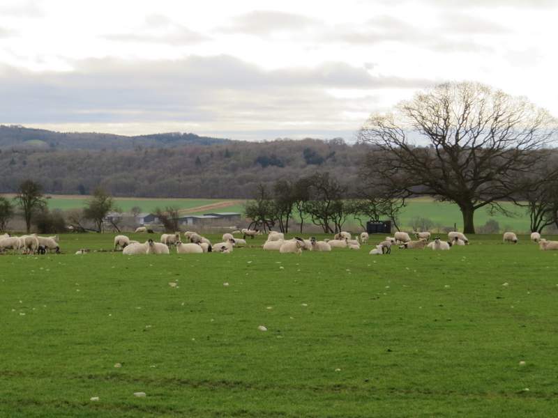
View half-right from the large sheep pasture
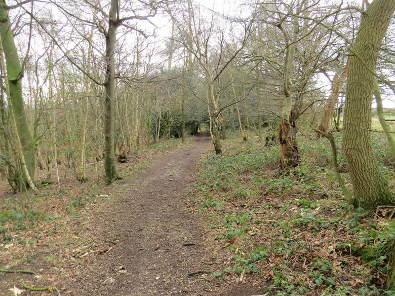
The path continuing through Binfields Wood
The path continuing through Binfields Wood (this is after keeping right at a three-way fork)
The path continuing through Binfields Wood
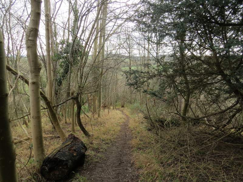
The path continuing through Binfields Wood
The path descending Killdown Bank
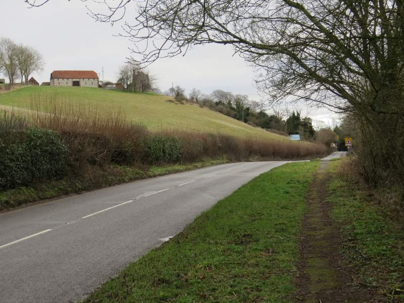
The road to Medmenham
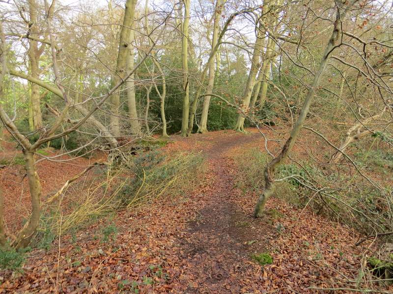
I turned left at the road junction, but almost immediately took a footpath on the right which climbed uphill through another wood. At the top of the slope the path turned slightly right. There was an information board about an iron-age hill fort here, but it was difficult to really make anything out. A short way further on the path reached a track, where it turned left, crossed a driveway, and soon ended at a private road or drive, where I turned right.
Near the start of the path from by the road junction
Further along the same path
This is near the hill-fort
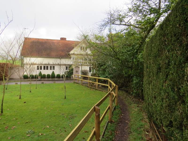
Near the end of the path, approaching the private road or drive