Pete's Walks - Pitstone Hill and Wigginton (page 4 of 5)
If you are considering walking this route yourself, please see my disclaimer. You may also like to see these notes about the maps and GPX files.
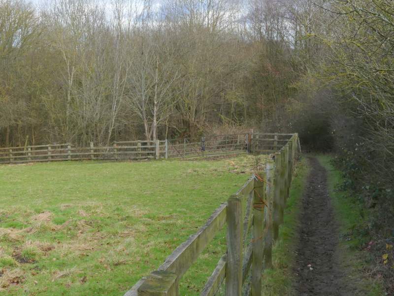
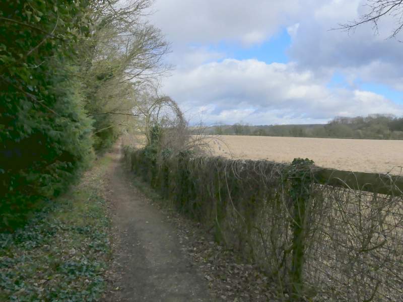
Lunch over, I turned left in the corner of the park and then turned right through a gate near the next corner. I went straight on down the road facing me (Fox Road). Immediately after the last house on the right I turned right, rejoining the Ridgeway national trail which I'd be following almost the whole of the rest of the walk. There was a nice view out over the Vale of Aylesbury to my left as I followed a hedge and then a fence on my right. The path then continued between Langton Wood on my left and a fence to my right, with a paddock beyond. The path next ran along the left edge of an arable field - after the wood on my left ended there was again a good view out over the Vale of Aylesbury.
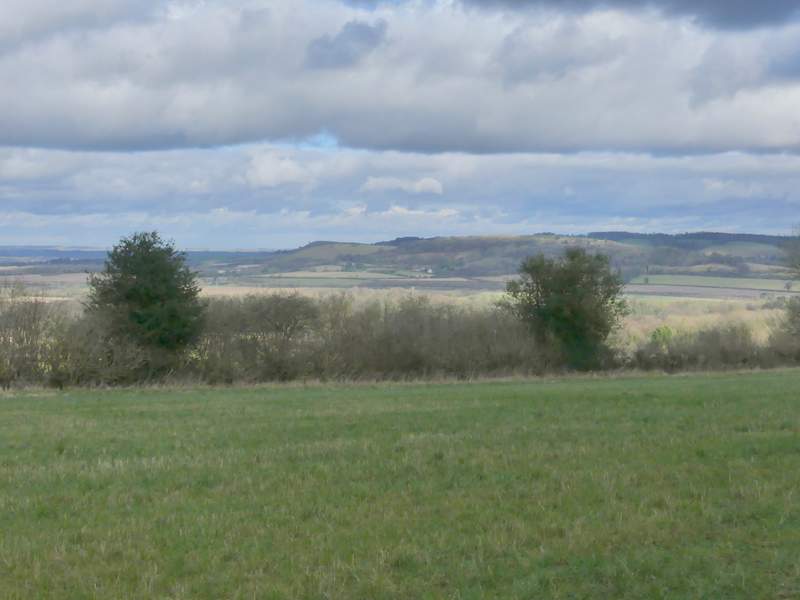
View from The Ridgeway on the edge of Wigginton
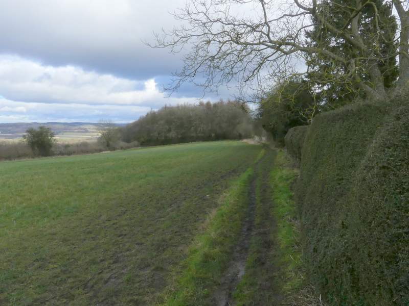
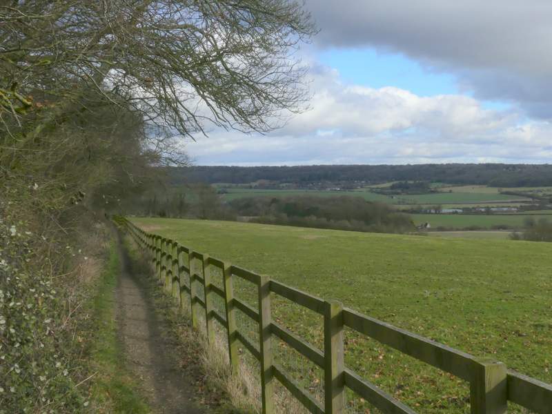
The Ridgeway as it leaves Wigginton
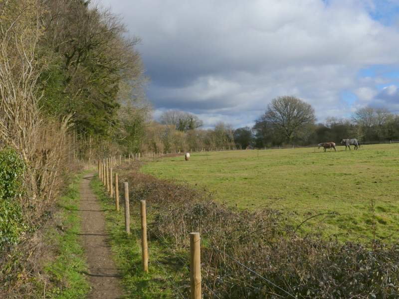
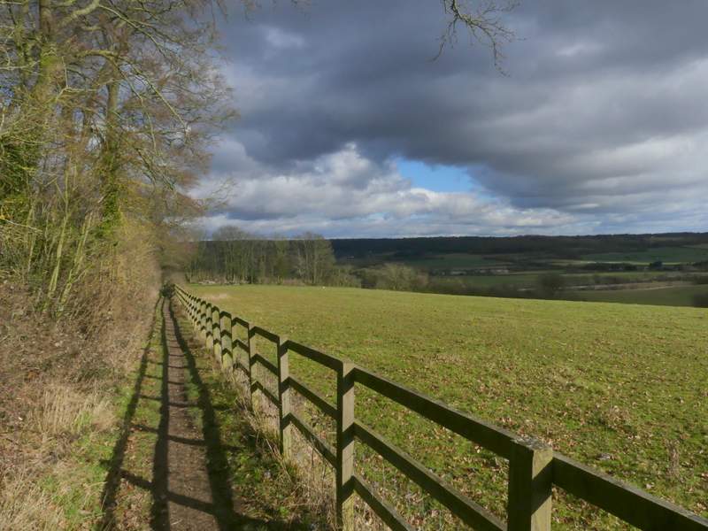
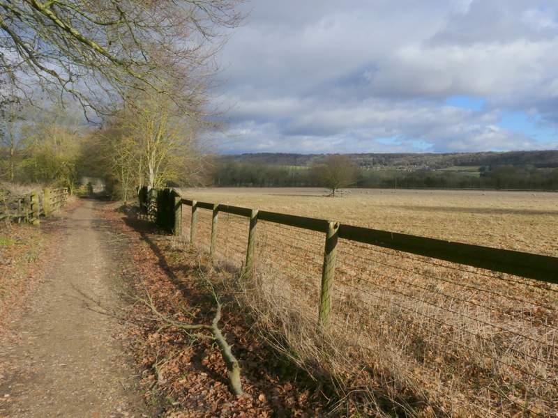
The Ridgeway between Wigginton and a lane called The Twist
The Ridgeway between Wigginton and a lane called The Twist
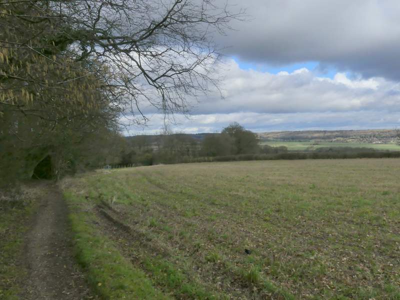
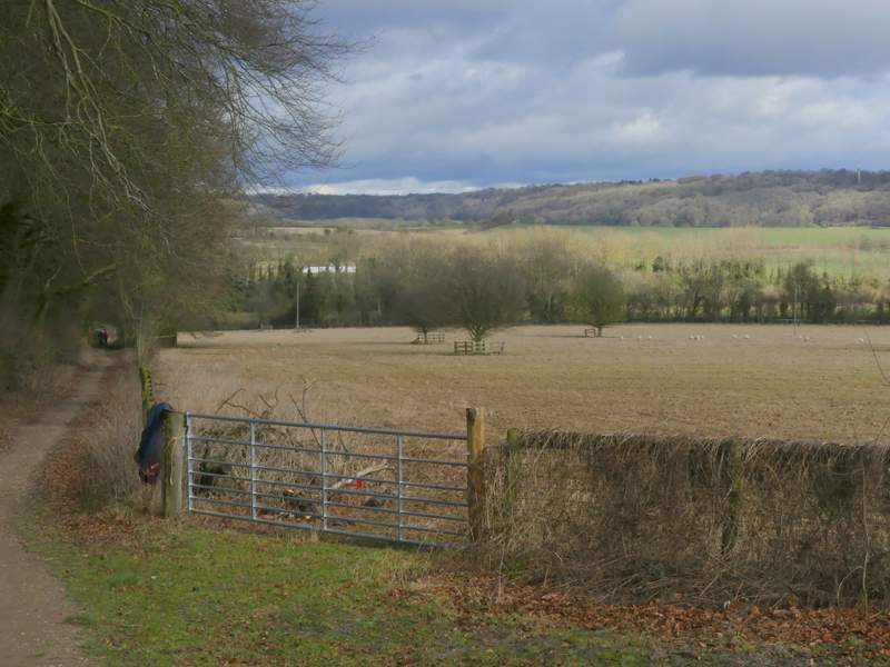
On reaching a lane called The Twist I went a few yards right and took a path on the other side. This ran between a tall hedge with several mature trees on my left and a fence-line on my right, with attractive views over the 'Tring Gap' ahead of me, back to where I'd been walking earlier. Shortly after going through two gates either side of a short track between two fields, I crossed the footbridge over the A41 that I'd seen in the distance earlier. The forecast had said it would be rather windy, but I hadn't noticed that at all until I walked across this high bridge - and the wind made it feel a lot colder too. The Ridgeway then turned right for a few yards and then left, following a paddock fence on the left, to reach the A4251 main road (which I'd crossed earlier at Cow Roast).
The Ridgeway continuing the other side of the Twist
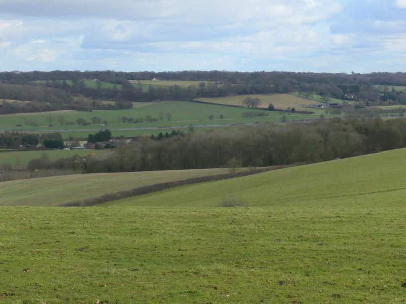
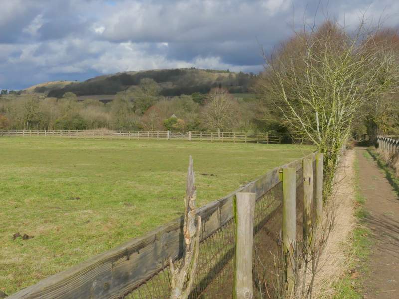
View across the 'Tring Gap' to where I'd been earlier - the paler green field near the top right is where the Alpacas were, with Norcott Court Farm at the bottom right corner of the field
The Ridgeway continuing the other side of the Twist
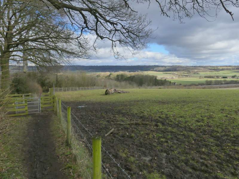
The Ridgeway continuing the other side of the Twist
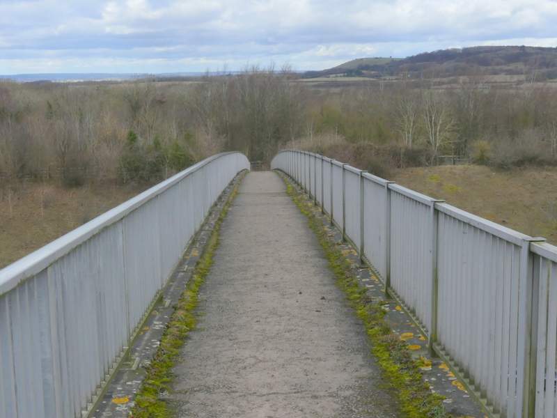
The Ridgeway crossing the footbridge over the A41 (the one seen in a couple of previous photos) - it was surprisingly windy and chilly here
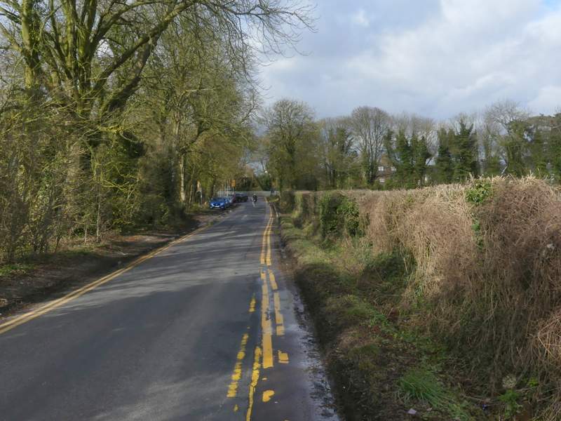
The path now approaching where it ends at the A4251 (the old A41 before the dual carriageway was built, and once the old Roman road called Akeman Street)
I walked a little way right, crossed the road and took a footpath on the other side (still following the Ridgeway). This path ran in a straight line for about half a mile, initially with woodland to my left and paddocks beyond a fence on the right, and then with paddocks either side. The path ended at a lane, where I turned left, soon reaching the end of the lane at Tring Station where I turned right and immediately crossed over the Grand Union Canal.
The path continuing from the A4251 to Tring Station
The path continuing from the A4251 to Tring Station
The path continuing from the A4251 to Tring Station
The path continuing from the A4251 to Tring Station (Pitstone Hill and Aldbury Nowers in the background)
The lane into Tring Station
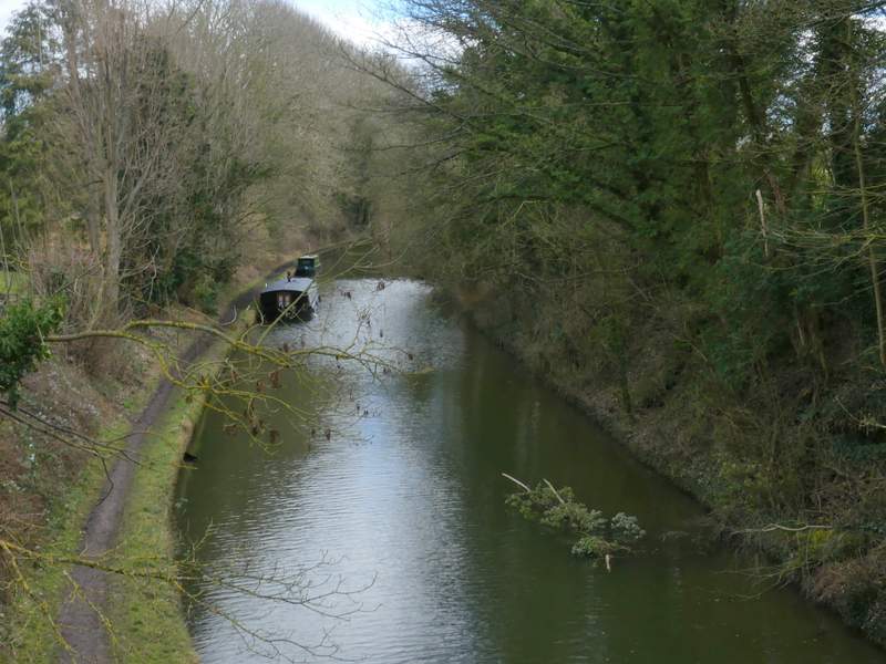
The Grand Union Canal at Tring Station