Pete's Walks - Wigginton and Drayton Wood (page 1 of 3)
If you are considering walking this route yourself, please see my disclaimer. You may also like to see these notes about the maps and GPX files.
Google map of the walkDownload GPX file of the walk
I did this circular walk of about 6 miles on Saturday, 7th April 2018. It was a repeat of a walk I've done several times before. This time I walked it in the anti-clockwise direction for the first time - I did this purely for the sake of doing something different as I knew that the views would not be so good this way round. I only wanted to walk for a couple of hours or so today as I'm still recovering from a virus I had about 6-7 weeks ago.
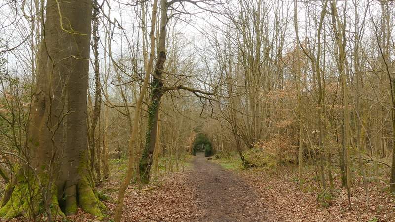
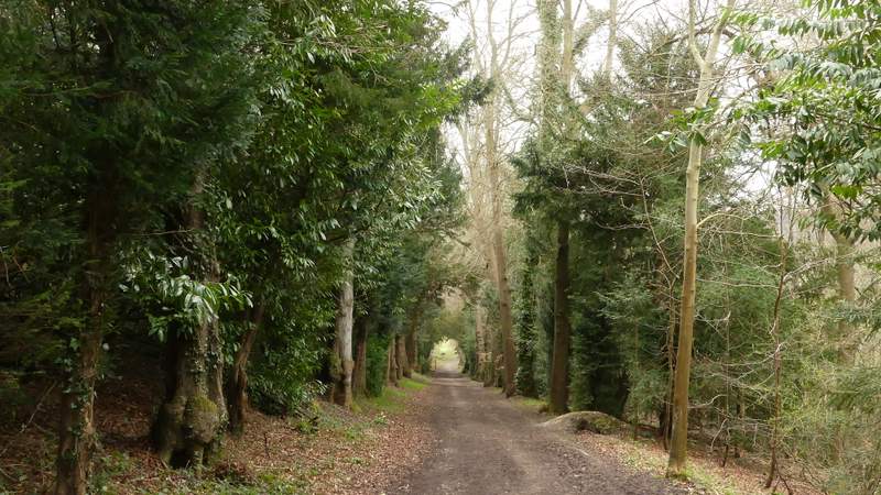
I parked in the car park by the playing field in Wigginton (grid reference SP938099). I started walking about 2.05pm, taking the paved path out of the back of the car park. On reaching a road I crossed over and continued down the short street opposite. At its end a path carried on along the right edge of a small park. I stayed on the path as it turned left in a corner of the park, and in the next corner turned right through a gate and continued along Fox Road ahead of me. On reaching the edge of Wigginton, I turned left along a short drive past some cottages to reach an entrance to Tring Park. A path continued through this wooded part of the park, soon reaching a path crossroads where I went straight on. The path was soon dropping downhill through the trees (I spotted my first Wood Anemones of 2018 here) to reach an Obelisk at a five-way path junction.
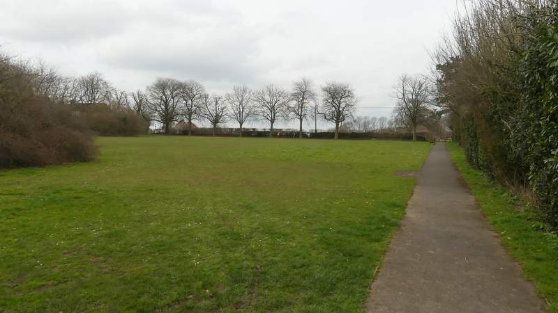
The park in Wigginton
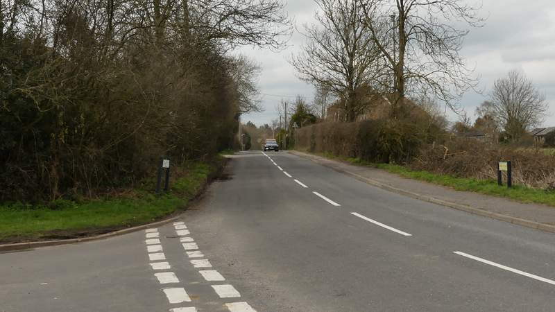
Fox Road, from where I left the park
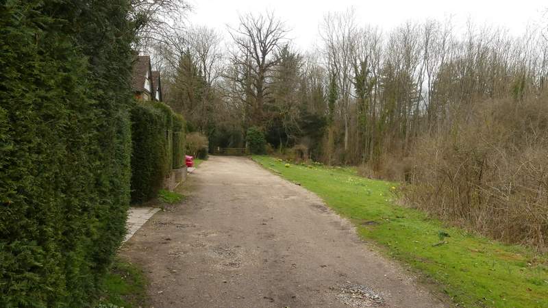
The short drive way on the edge of Wigginton leading to Tring Park
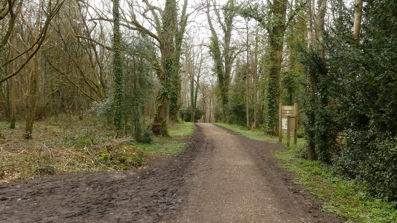
The path from the entrance to Tring Park
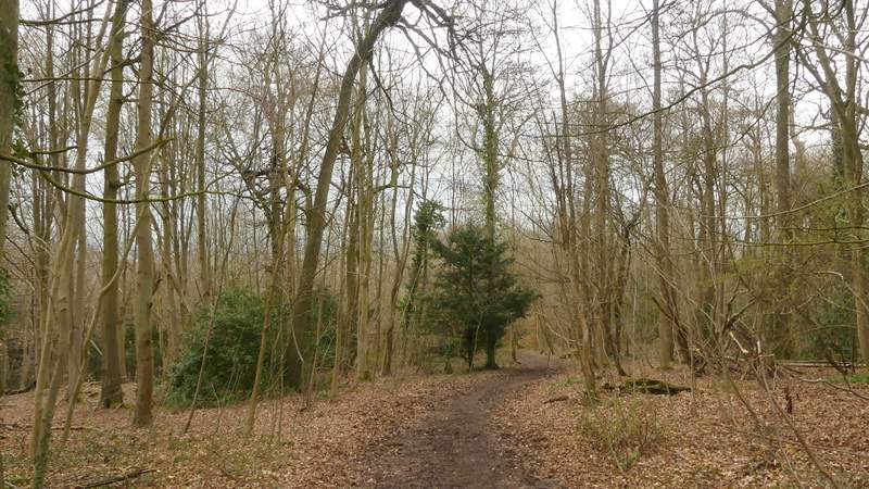
The path continuing down to the Obelisk
The path continuing down to the Obelisk
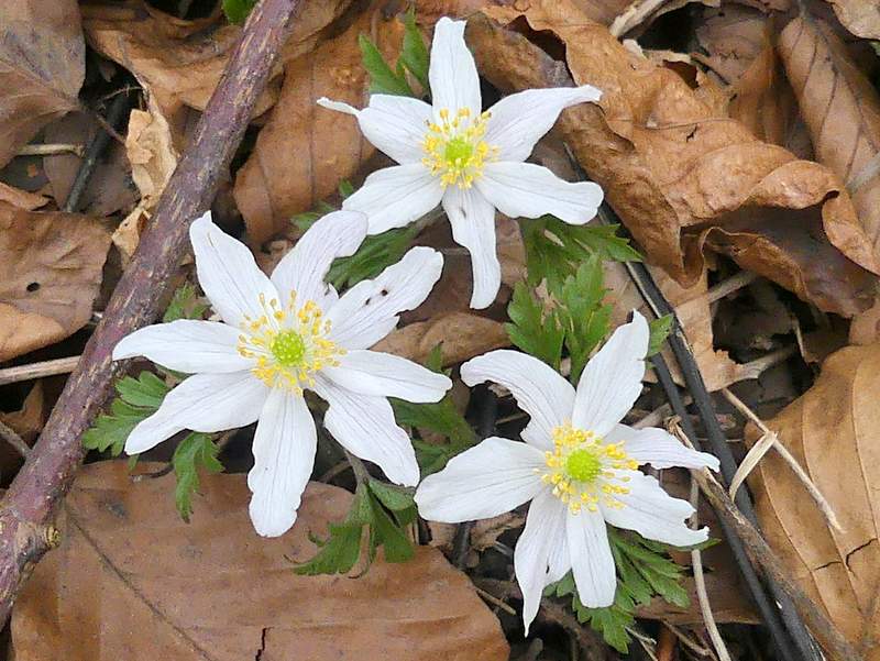
Wood Anemones
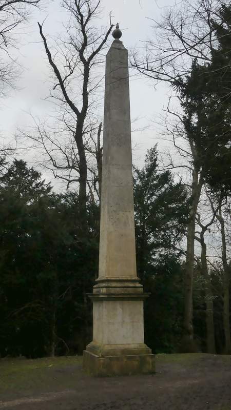
The Obelisk
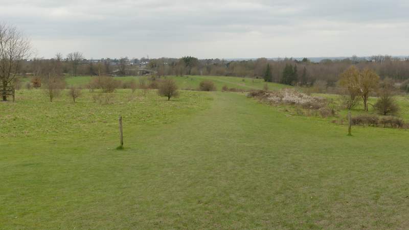
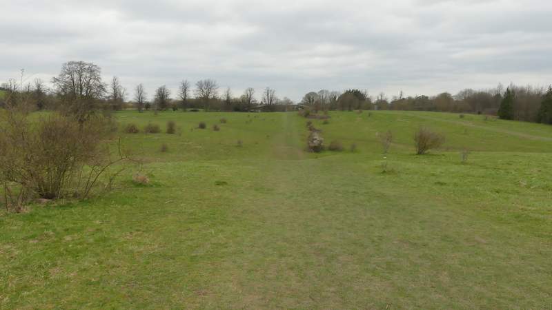
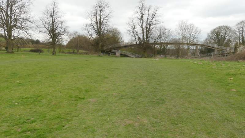
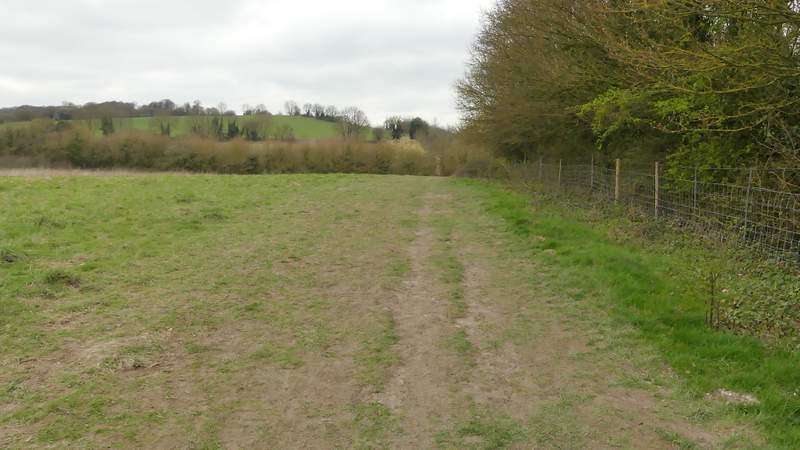
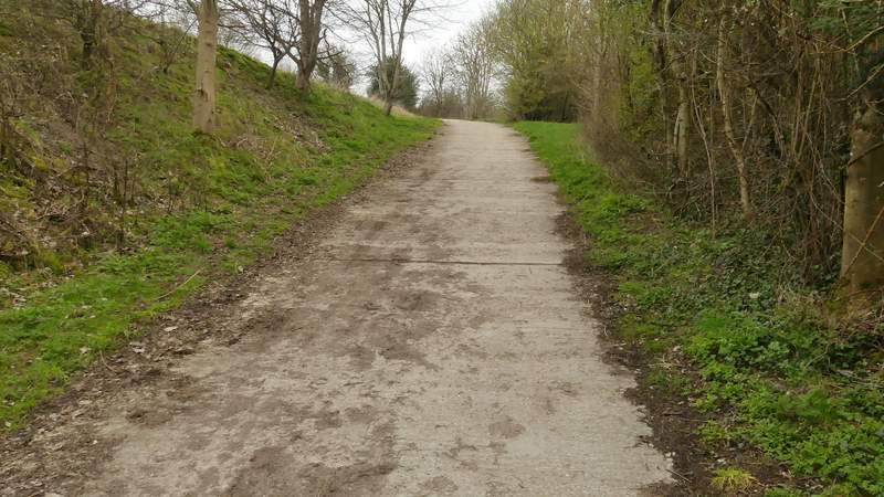
I took the second path on the left, which continued downhill to reach a gate at the foot of the slope, where I emerged from the trees into the grassland part of Tring Park. I turned right and followed a broad path through the grass, heading towards a distant footbridge over the A41. The path was fairly flat for a while, then dropped quite steeply for a short while before gradually regaining height as it approached the footbridge. As I reached the footbridge I turned left, soon going through a gate and leaving Tring Park, the path now running alongside a hedge with a meadow extending to my left. I then crossed a lane, the path continuing on the other side up a concrete drive and then following a hedge on my right (parallel to the A41 dual carriageway).
The path downhill from the Obelisk
The path across Tring Park
The path across Tring Park
The path across Tring Park, close to the footbridge over the A41
The path continuing from Tring Park
The path continuing after crossing the lane
The path continuing after crossing the lane
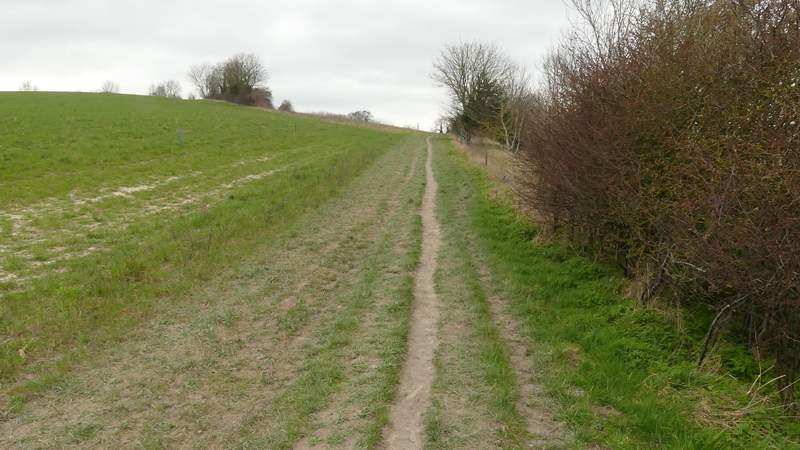
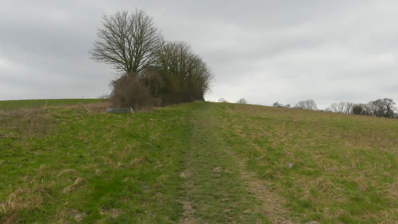
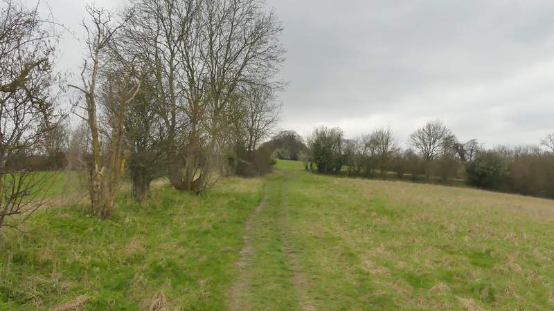
At a path junction I turned left, following an intermittent hedgerow on my left uphill. As I'd foreseen, I needed to turn round as I steadily climbed this hill, in order to get the best views on this route. They certainly weren't at their best on this very grey afternoon.
The path after turning left and uphill, towards Stubbing's Wood
The path to Stubbing's Wood
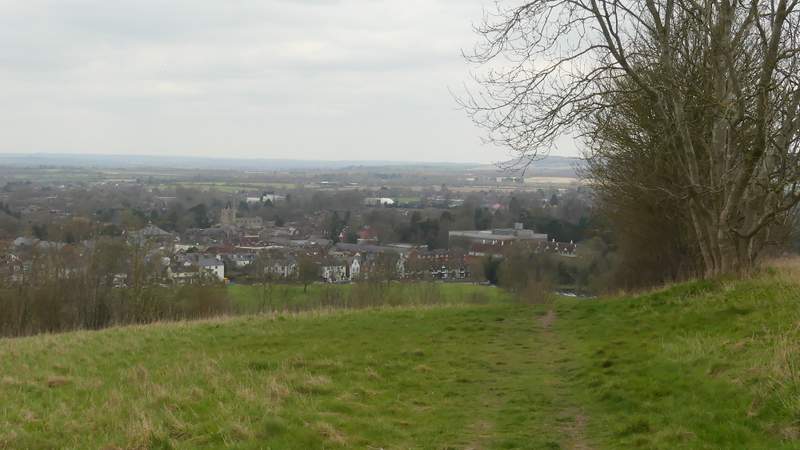
Looking back, over Tring and part of the Vale of Aylesbury