Pete's Walks - Wigginton and Drayton Wood (page 3 of 3)
If you are considering walking this route yourself, please see my disclaimer. You may also like to see these notes about the maps and GPX files.
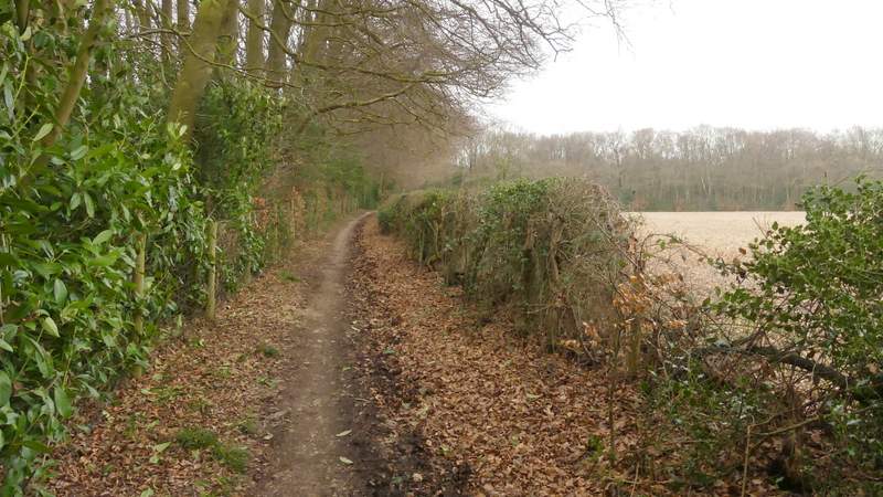
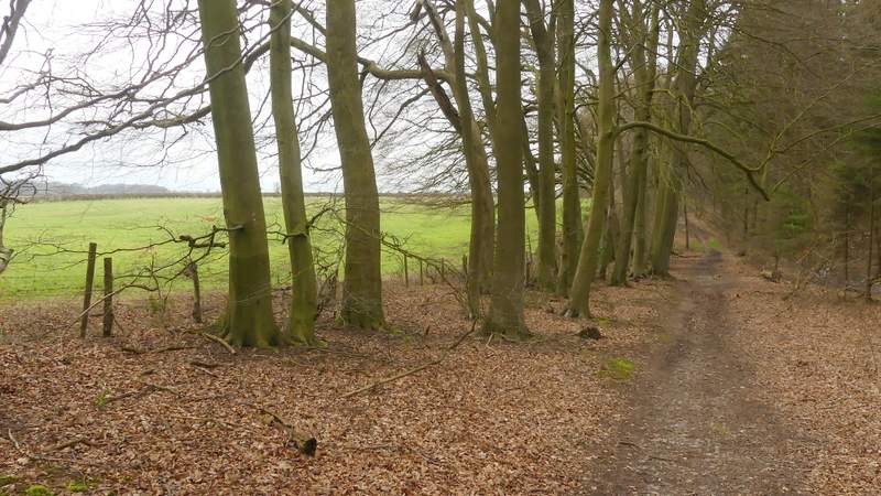
On reaching the edge of Drayton Wood I went over a stile and turned left along a bridleway running between the wood and a hedge on my right. When the hedge ended and the wood was on both sides of the bridleway, I immediately turned right onto a footpath that ran just inside the edge of the wood, with the same field just to the right. This path continued through this part of Drayton Wood (which was almost entirely mature Beech trees with a bit of Holly) for several hundred yards. I stayed on the path as it turned left (going over two path crossroads) and then ran alongside paddocks on the right to reach Shire Lane (next to a property named 'Montana').
The path through Drayton Wood
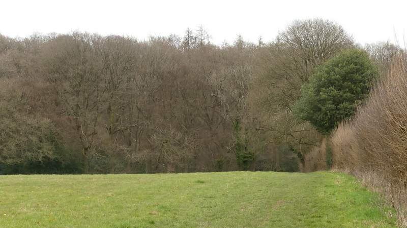
View from the edge of Drayton Wood
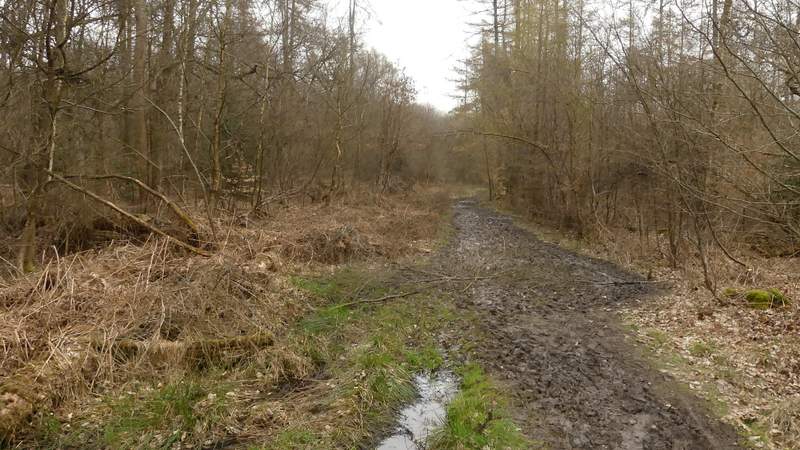
Bridleway on the edge of Drayton Wood (I would turn right just inside the part of the wood on the right of this photo)
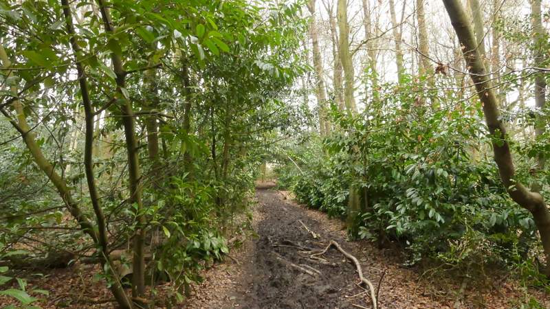
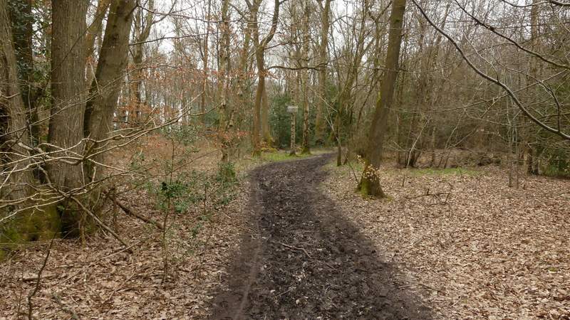
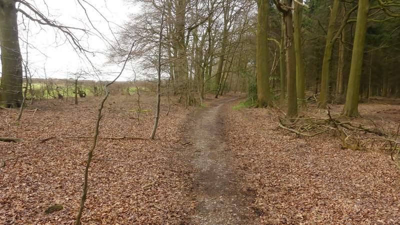
The long path through Drayton Wood after I turned right from the bridleway
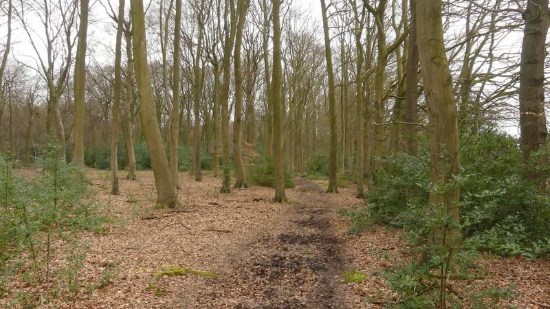
The long path through Drayton Wood after I turned right from the bridleway
The path after it turns left, with paddocks just to the right
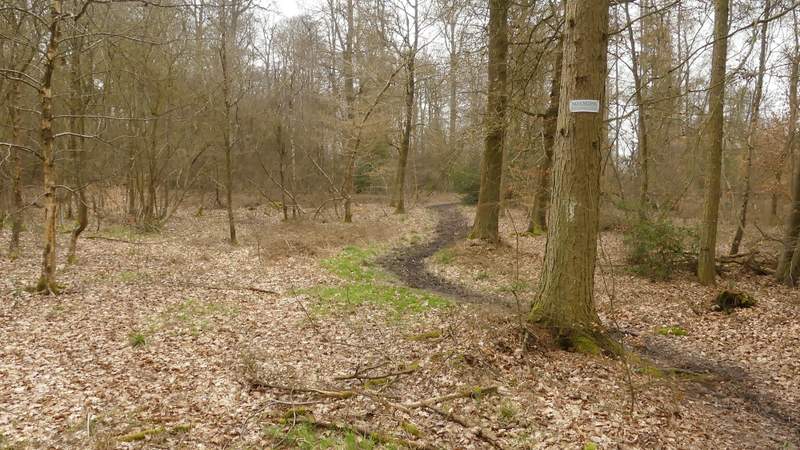
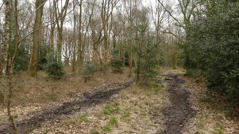
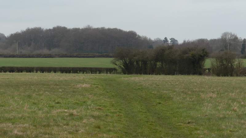
The path to High Scrubs
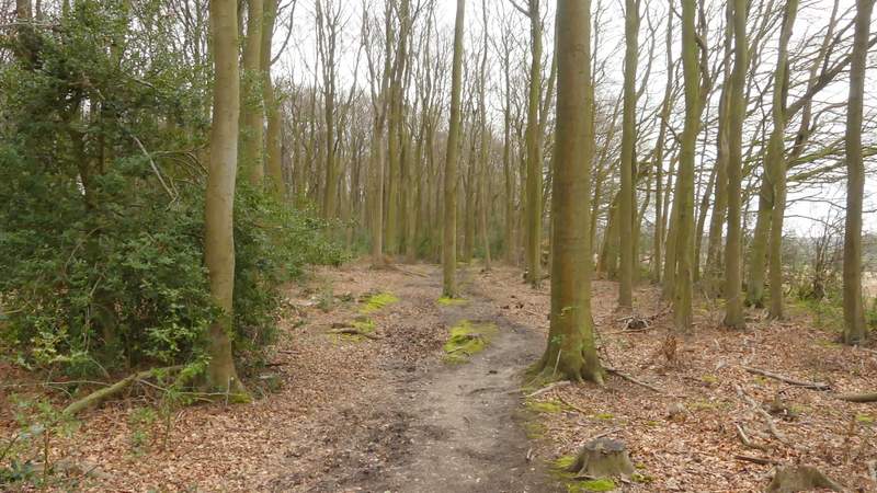
Across the lane a path continued, following a hedge on the right with a few horse-jumps built into it (though I don't think I've ever seen horses in either this field or the one the other side of the hedge). The path then entered a wood called High Scrubs, where I soon went straight on over a crossing bridleway. I stayed on the path through the wood for a few hundred yards until I reached another lane. The path continued on the other side, now passing through Roundhill Wood. After a few hundred yards there was a field close by on my left.
The path through High Scrubs
The path through High Scrubs
The path after re-crossing Shire Lane
The path after re-crossing Shire Lane
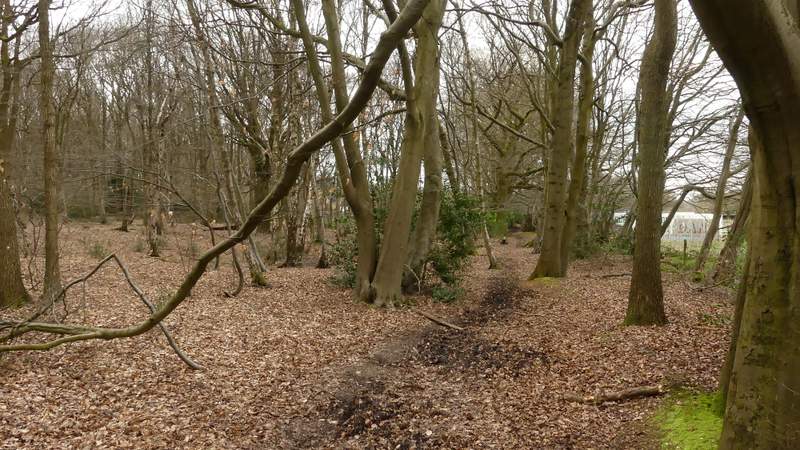
The path continuing through Roundhill Wood
The path continuing through Roundhill Wood
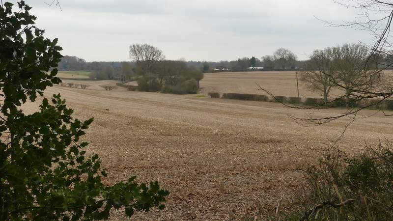
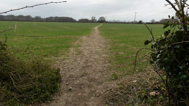
Immediately after that field beside the wood ended at a hedgerow, I came to a path junction where I went half-left, leaving the wood and crossing a large green field diagonally. The path then cut through a small corner of another field, before continuing in the same direction across an arable field. At a path junction on the far side I went through a kissing-gate and crossed a narrow pasture to reach a road. Here I turned left and followed the road a quarter of a mile or so into Wigginton, back to the car park where I'd started.
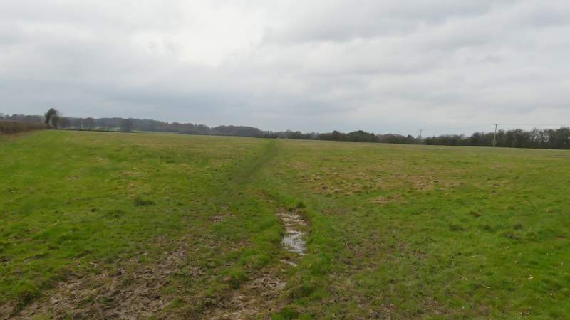
The start of the path back across the fields to Wigginton
The path back across the fields to Wigginton
The path back across the fields to Wigginton
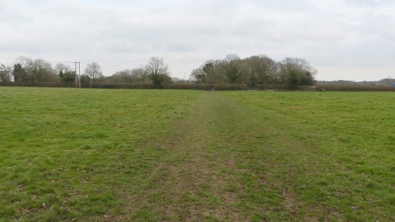
The path back across the fields to Wigginton, crossing the final pasture
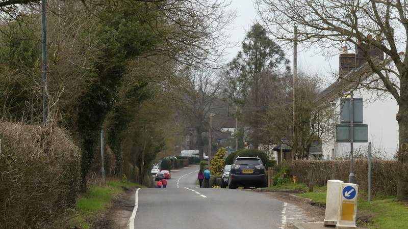
The road into Wigginton
I enjoyed the walk, despite the grey and muddy conditions (the walk took 20 minutes longer than usual, due to these muddy conditions I think). But the route is definitely better when walked the other way round (clockwise) as you get the fine views over Tring and the Vale of Aylesbury as you descend from Stubbing's Wood. Going anti-clockwise as I did today, the corresponding descent is the one down through the wooded part of Tring Park, where there is no view at all.