Pete's Walks - Cowleaze Wood and Turville Heath (page 4 of 4)
If you are considering walking this route yourself, please see my disclaimer. You may also like to see these notes about the maps and GPX files.
(I used Alternative 1 as shown on the map)
At the bottom of the slope the bridleway continued along a track through the valley for a few hundred yards, until it ended at a bend in another of the Wormsley Estate drives, where I continued straight on. After a quarter of a mile or so, just after a yellow cottage, I turned left onto a footpath that headed gradually uphill through Langleygreen Plantation (the OS map shows that the footpath changes to a bridleway at some seemingly arbitrary point after a few hundred yards!). It was quite a long but fairly easy plod uphill, the bridleway eventually levelling off as it continued through the wood. When I came to a path crossroads, indicated by white arrows on a tree, I turned left. This path dropped downhill through the wood, then went slightly left as it continued downhill across a paddock or meadow, before passing to the left of Lower Vicar's Farm to arrive at another of the drives on the Wormsley Estate.
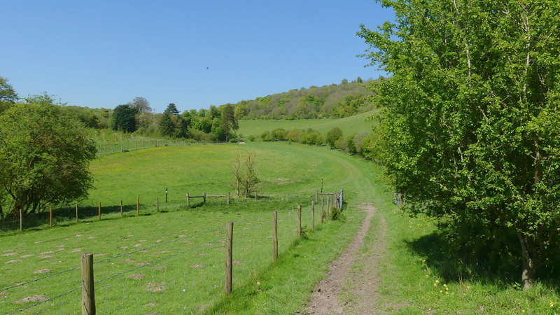
The bridleway continuing through the Wormsley Valley
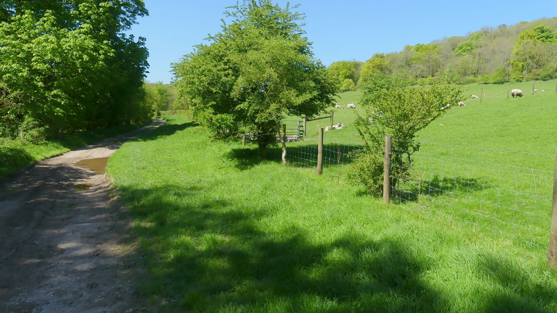
The bridleway continuing through the Wormsley Valley
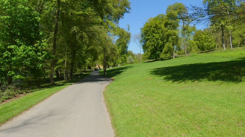
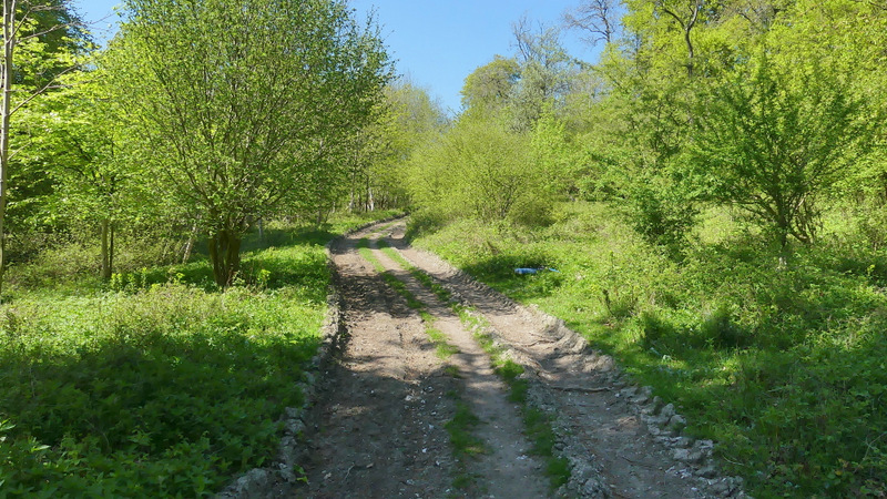
The Wormsley Estate drive
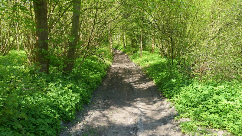
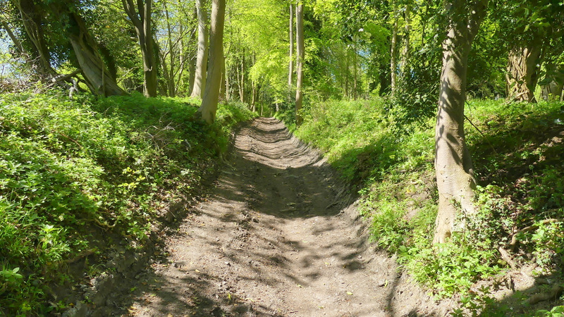
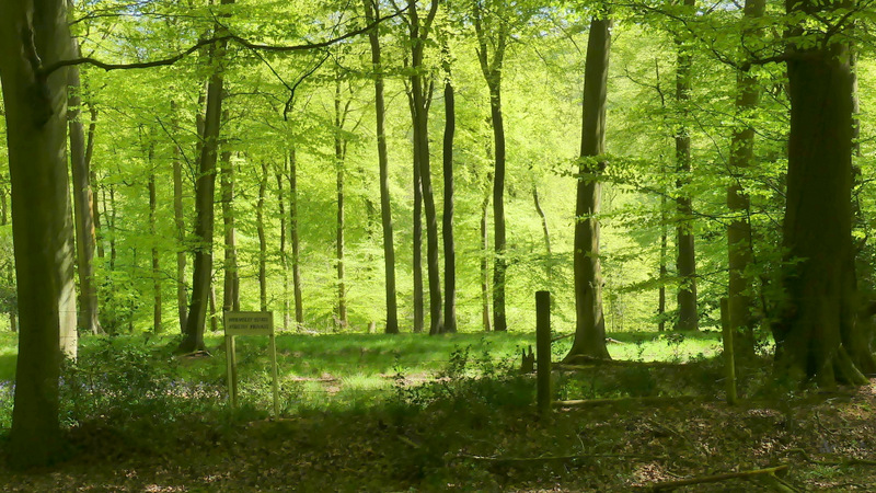
Start of the path up through Langleygreen Plantation (I noticed a sign at the start saying something like 'Please keep to the public footpath/bridleway' which I assumed was one of a number of generic signs the Wormsley Estate used for footpaths or bridleway, but I've just seen on the OS map that, rather bizarrely, what starts as a footpath seemingly arbitrarily changes to a bridleway after a few hundred yards)
The path through Langleygreen Plantation
The bridleway through Langleygreen Plantation
The bridleway through Langleygreen Plantation
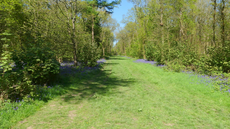
The path after I turned left in Langleygreen Plantation
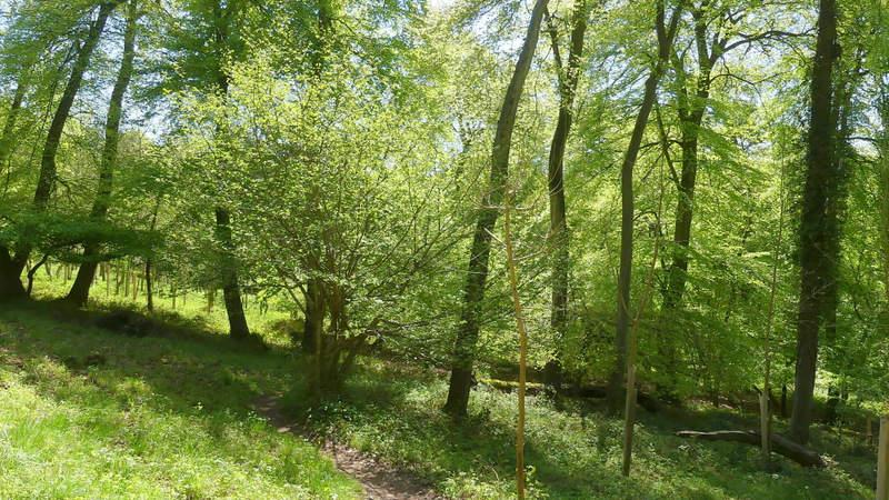
The path after I turned left in Langleygreen Plantation
The path continuing past Lower Vicar's Farm
I went a short distance left along the drive, then took a path starting in the hedge on my right. This path led steeply uphill through two fields (the second had been ploughed and farrowed without the path being re-instated, so it was a bit tiresome crossing it). At the top of the slope I was glad to enter the shade of Cowleaze Wood, where I followed the path straight on through the wood for about half a mile to return to the car park where I'd started.
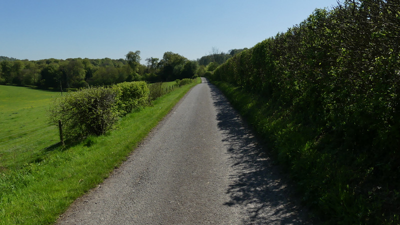
The Wormsley Estate drive
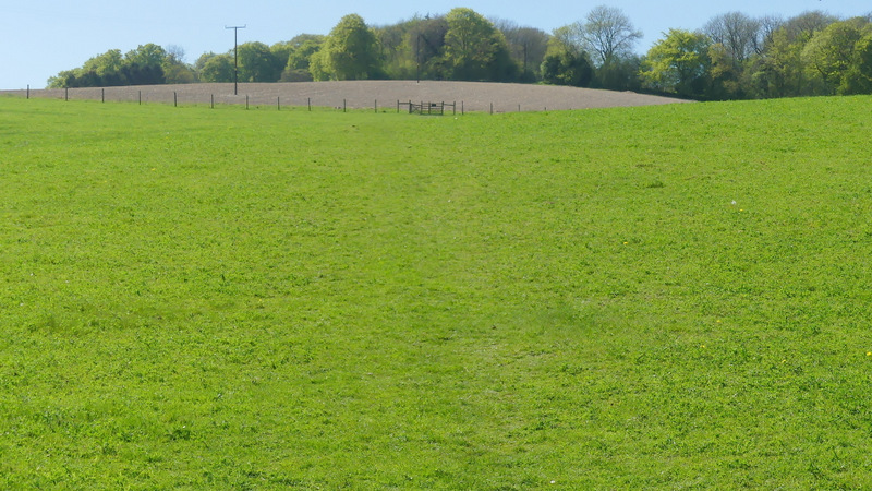
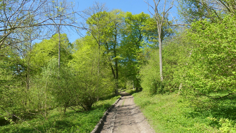
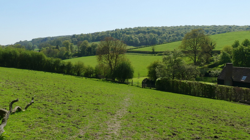
The path up to Cowleaze Wood
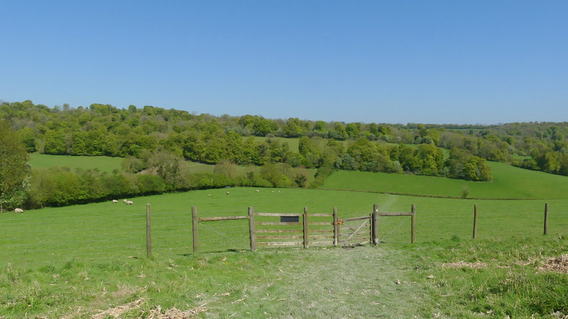
Looking back from the path up to Cowleaze Wood
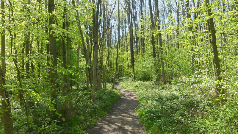
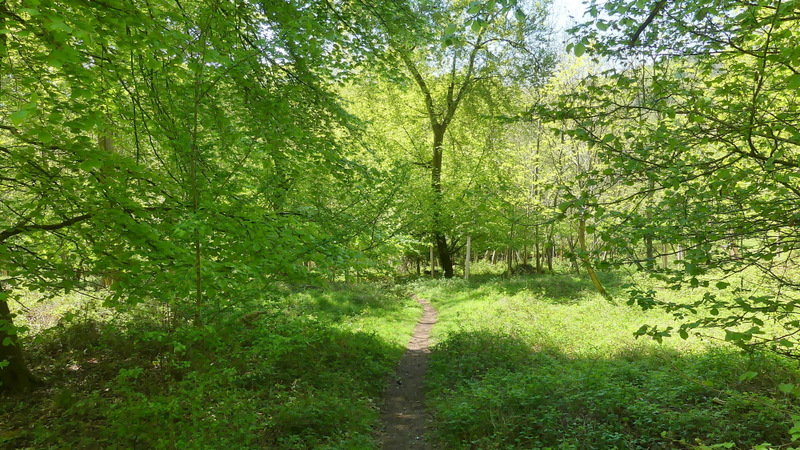
Cowleaze Wood
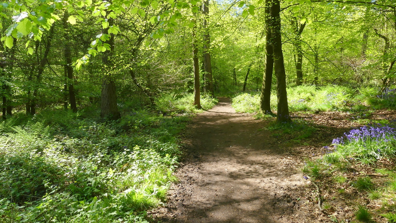
Cowleaze Wood
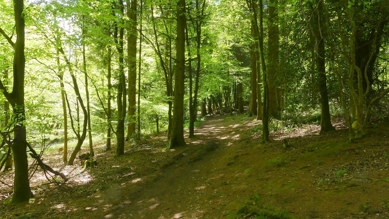
Cowleaze Wood
View left from the path through Cowleaze Wood
View right from the path through Cowleaze Wood, just before I reached the car park
This has long been one of my favourite walks in the Chilterns. It's been a few years since I walked it, though I've used most parts of the route on many other walks since. I wasn't disappointed at all with it today, I'd still highly recommend it! There are good views most of the way round, and when there wasn't a view it was usually because I was on a charming woodland path! It was a beautiful Spring day, clear blue skies and very warm, so with all the Spring flowers on display I could scarcely have had a better day for this walk.