Pete's Walks - Maidensgrove Common and Moor Common (page 4 of 6)
If you are considering walking this route yourself, please see my disclaimer. You may also like to see these notes about the maps and GPX files.
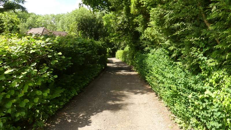
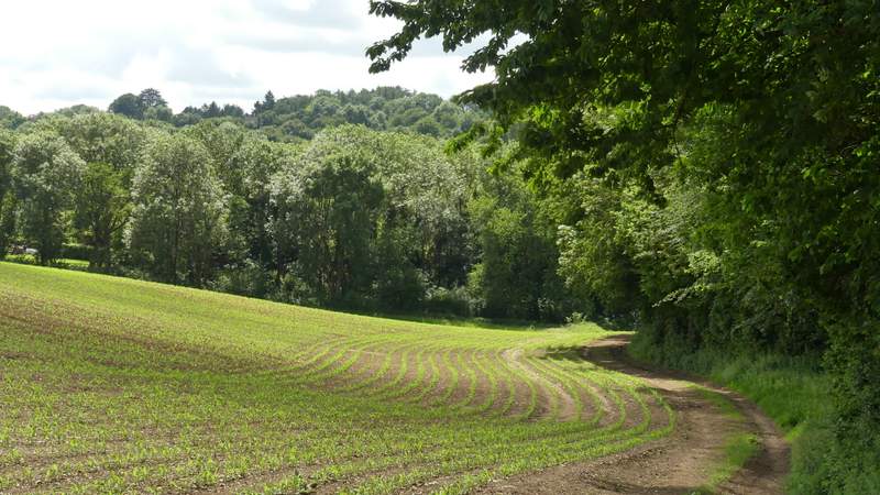
I chose this walk today as I hoped to see some orchids here at Moorend Common, but as I'd half-expected they weren't yet fully in flower so I'll have to come back again in a week or two's time. I followed the path through the open area of the common and on into the wooded part, where it immediately turned left and crossed a small footbridge over a tiny stream (a major waterway by the standards of the Chilterns!). I followed the path through the woods of Moorend Common for another quarter of a mile or so, until I reached a drive (from some buildings to my right) where I turned left and soon reached a road at Moor Common.
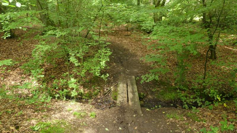
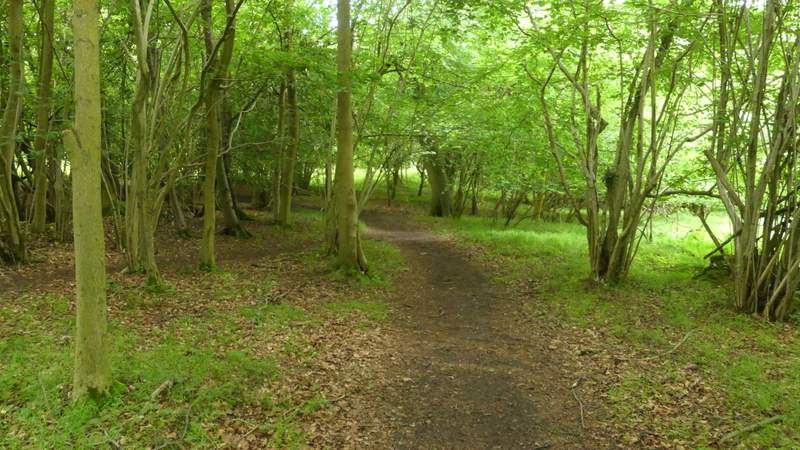
The path through Moorend Common
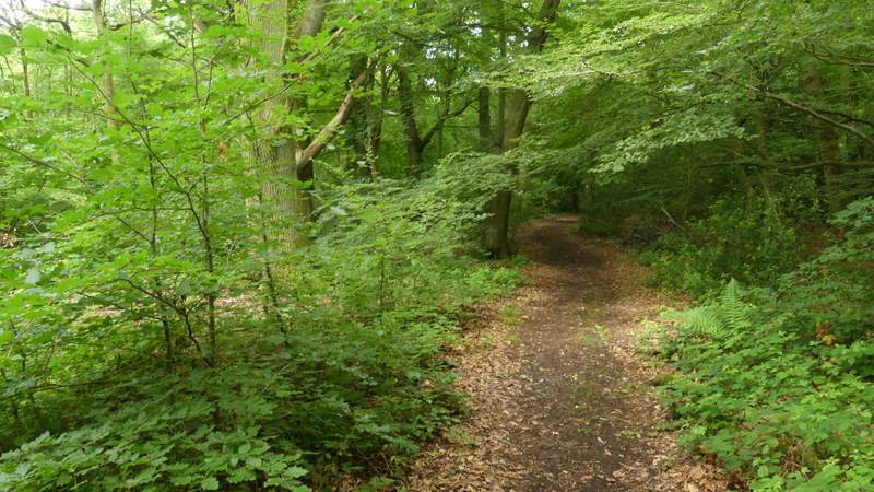
The path through Moorend Common
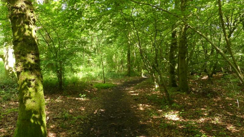
The path through Moorend Common
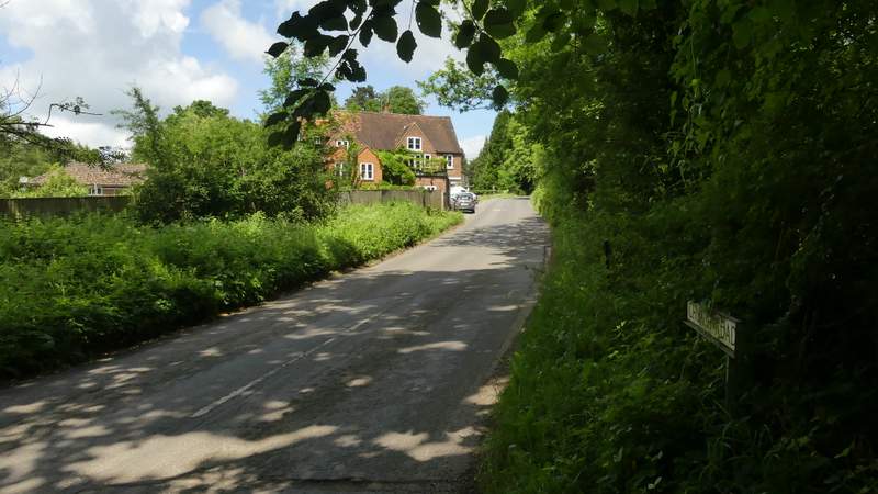
The road at Moor Common
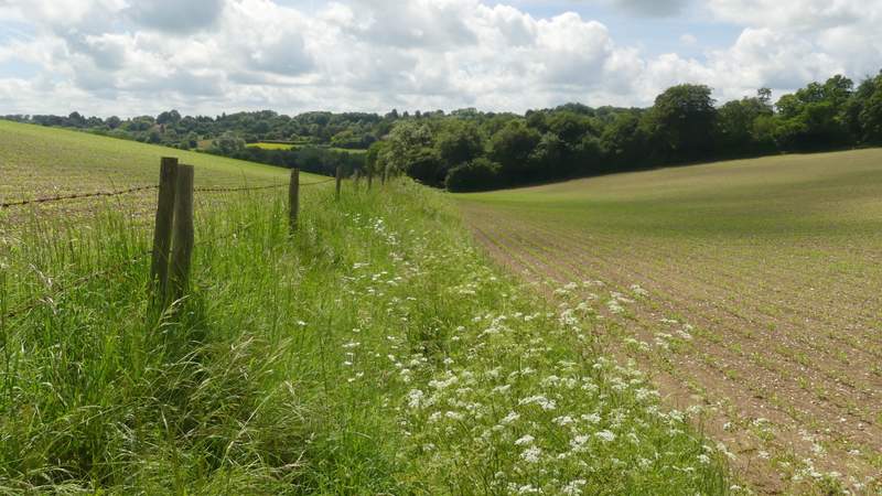
I turned right, then took a bridleway on the left after a hundred yards or so. This followed a drive, then turned right at a gate, going uphill quite steeply for a short way before curving left and passing some farm buildings on the left. The bridleway then dropped slightly downhill, continuing straight on beside a hedge on my right. I ignored a path going right, but not long after took a path on the left. This followed the left edge of a field, then had the edge of a wood on the right. Where the wood turned right, the path crossed the field on my left to reach a minor road.
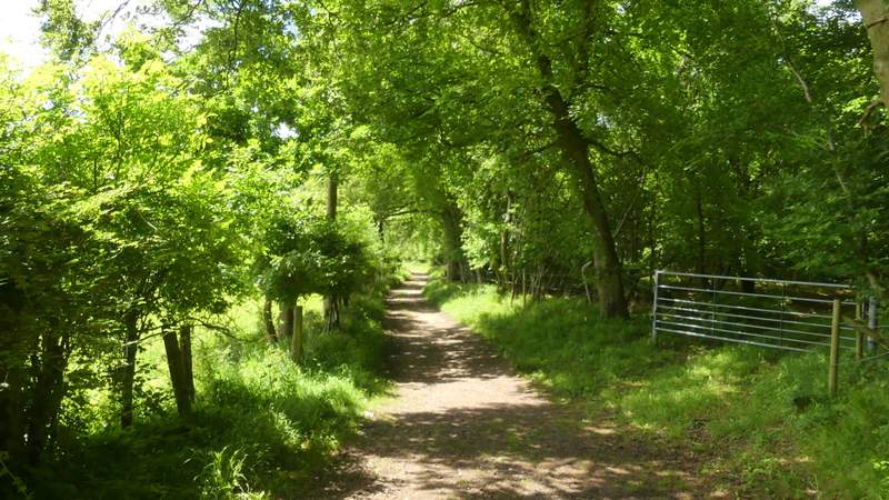
The bridleway from Moor Common
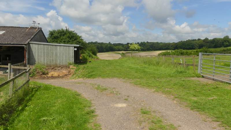
The bridleway from Moor Common
The bridleway from Moor Common
The path after I turned left
The path after I turned left
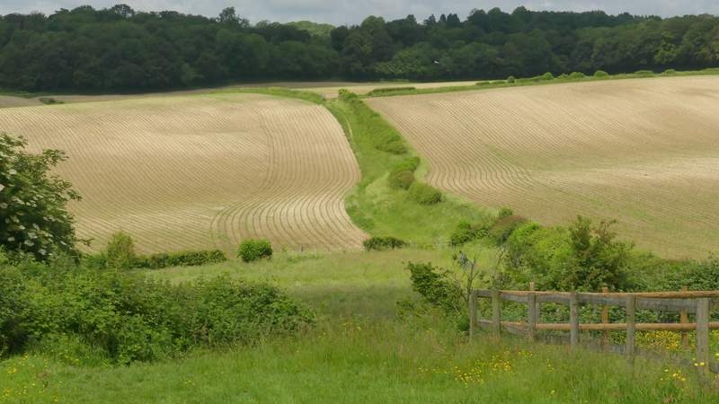
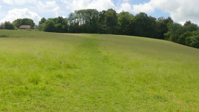
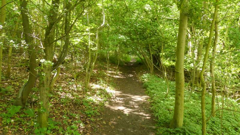
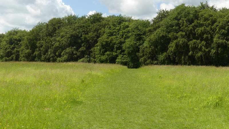
Across the road a path led uphill through a meadow to reach a path junction, where I turned right. This path then immediately turned left and ran for about half a mile through Mousells Wood (the OS Map shows that at the second crossing path I reached It actually changes from a footpath to a bridleway). On reaching a gate at the far side of the wood, I turned right along a track between a hedge and the wood on my right. The track continued briefly between Adams Wood and Mousells Wood, then crossed a large meadow surrounded by woods (though I couldn't see one side of it because of the slope) to reach Fingest Wood. The path dropped slightly downhill through this wood for about a hundred yards to reach Fieldfare's Stile (named after a nature writer) and a seat where I stopped to eat my lunch and enjoy the views over the junction of valleys at Fingest.
The path to Mousells Wood
The path through Mousells Wood
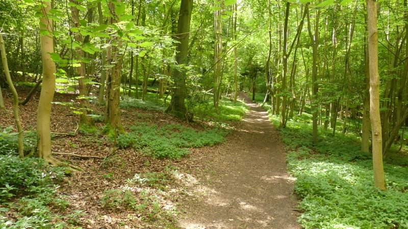
The path through Mousells Wood/p>
The path through Mousells Wood
The path to Adam's Wood, after I turned right on the edge of Mousells Wood
Approaching Fingest Wood
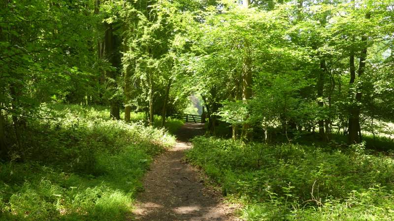
Fingest Wood, approaching Fieldfare's Stile
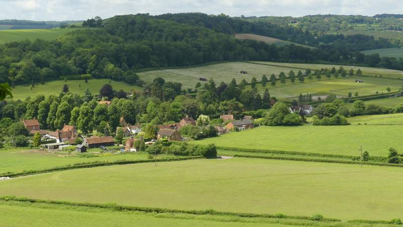
View over Fingest from Fieldfare's Stile