Pete's Walks - Coombe Hill and Redland End (page 5 of 5)
If you are considering walking this route yourself, please see my disclaimer. You may also like to see these notes about the maps and GPX files.
I crossed over to the car park, and took a bridleway that immediately went right, starting up a short flight of 'steps' and running almost parallel to the road (to my right). When this bridleway came to a track, I went right for a few yards to a gate by the road, then turned left to continue along the bridleway, which soon went left in a semi-circle through Pulpit Wood (I could have taken a footpath from the gate that cut off this loop). The bridleway then went right (the OS map shows this as a bridleways crossing, but the map doesn't seem to reflect the routes on the ground in this small area). The bridleway continued through what was now Port Wood, turning left after a while, then turning right. Soon after this, it was running through a tree belt or narrow extension of the wood - through the tress on my left I could see across fields to Chequers.
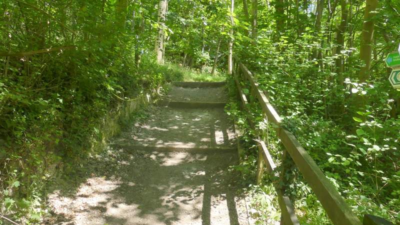
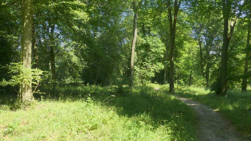
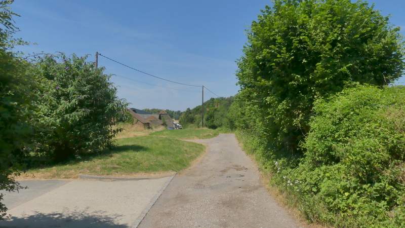
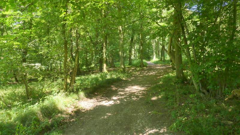
The start of the bridleway going east from the car park south of Pulpit Hill
The bridleway going east from the car park south of Pulpit Hill
The bridleway going east from the car park south of Pulpit Hill
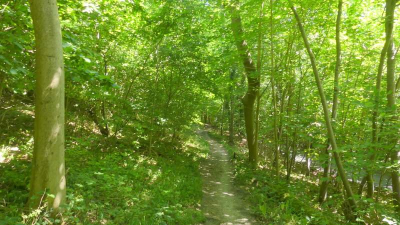
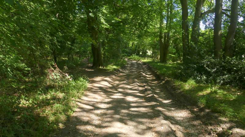
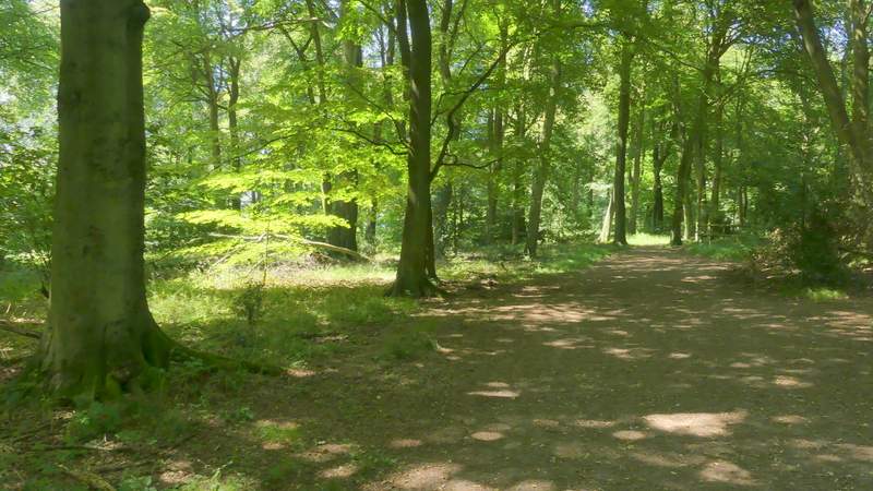
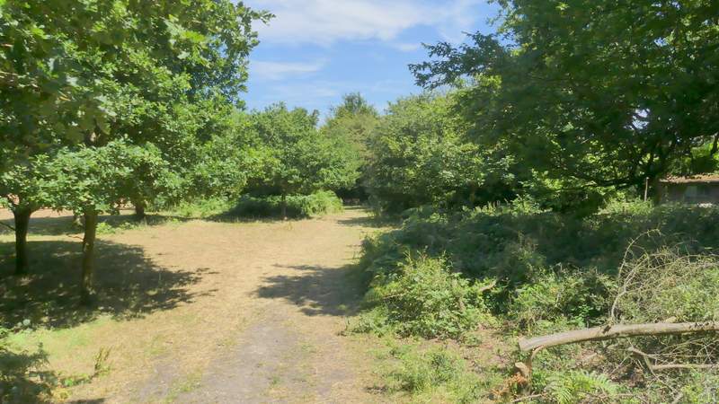
The bridleway continuing through Port Wood
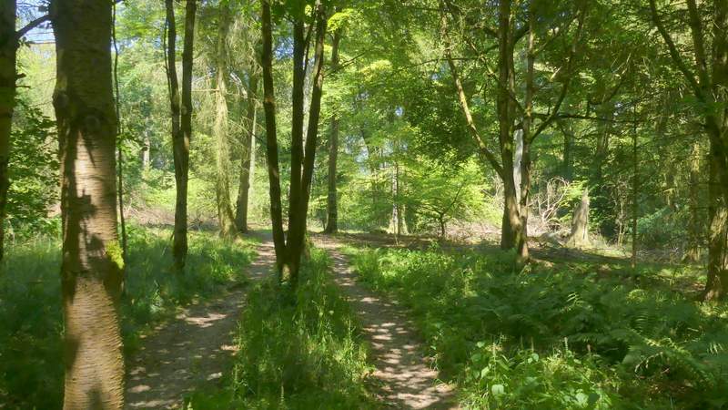
The bridleway continuing through Port Wood
The bridleway continuing through Port Wood
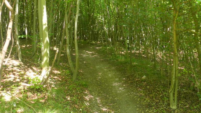
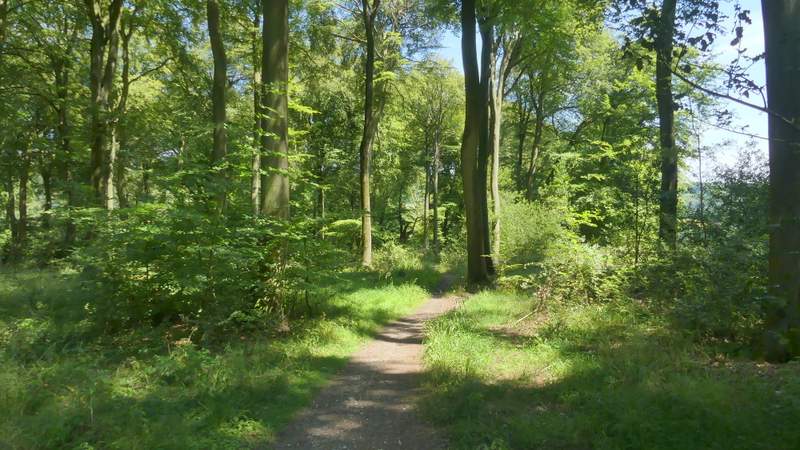
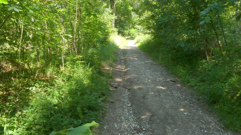
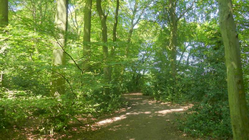
The bridleway continuing through the tree belt extending from Port Wood
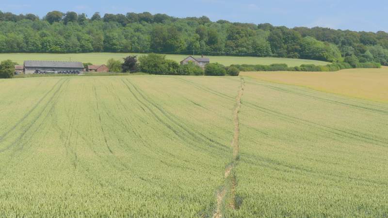
On reaching a road I crossed over. A few yards to the left a footpath set off across a corn field. On the far side I reached a lane, where I turned left and walked trough the hamlet of Buckmoorend. At the end of the lane, on the corner of a road, I took a bridleway going right - part of the Ridgeway national trail. This led through trees, then went uphill into Goodmerhill Wood. Near the top of the hill, it turned left. There then followed a pleasant section of about half a mile through the beeches of Goodmerhill and Linton's Woods. There were a number of junctions with other paths, but there were always Ridgeway fingerposts or white acorn signs to guide me.
The path to Buckmoorend
The lane through Buckmoorend (the vehicles at the end of the lane belonged to ITV, Sky and other newscasters, covering an important Brexit meeting at Chequers - David Davis and Boris Johnson resigned from the cabinet a few days later)
The Ridgeway going east from Buckmoorend
The Ridgeway climbing up through Goodmerhill Wood
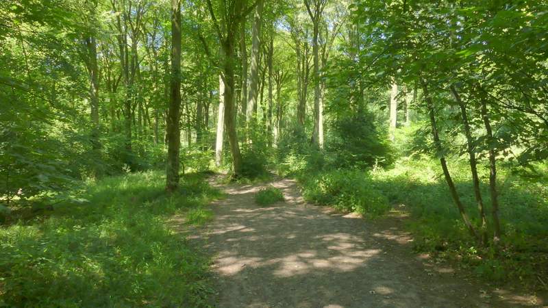
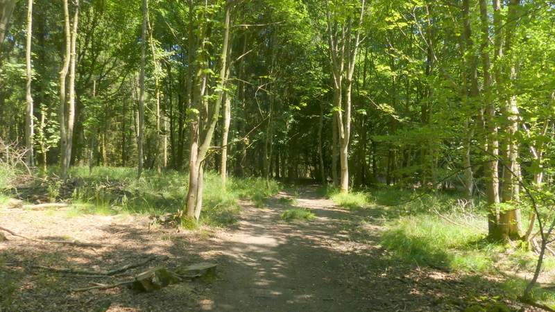
The Ridgeway in Goodmerhill Wood
The Ridgeway in Goodmerhill Wood
The Ridgeway in Linton's Wood
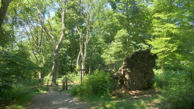
On reaching a road on Lodge Hill, I turned right and followed it uphill for about a hundred yards before taking a path on the left. Still on the Ridgeway, I followed the path through another beech wood for about quarter of a mile. On leaving the wood at a metal kissing-gate, I turned right (leaving the Ridgeway) and walked the short distance back to the Coombe Hill car park (staying close to a hedge on my right).
The Ridgeway on Lodge Hill
The Ridgeway on Lodge Hill, just before I turned right
The path after I turned right from the Ridgeway, heading back to the Coombe Hill car park
It was another hot and sunny day - the warm spell has lasted over two weeks now. As with my previous walk, I'd chosen this route because it was shorter than my average walk and because much of it was in the shade of trees, and it proved to suit my requirements perfectly. It was an enjoyable route, with some nice views and plenty of woodland walking, though rather flat with only two or three shortish ups and downs.