Pete's Walks - Bledlow Ridge, Bradenham, West Wycombe (page 5 of 5)
If you are considering walking this route yourself, please see my disclaimer. You may also like to see these notes about the maps and GPX files.
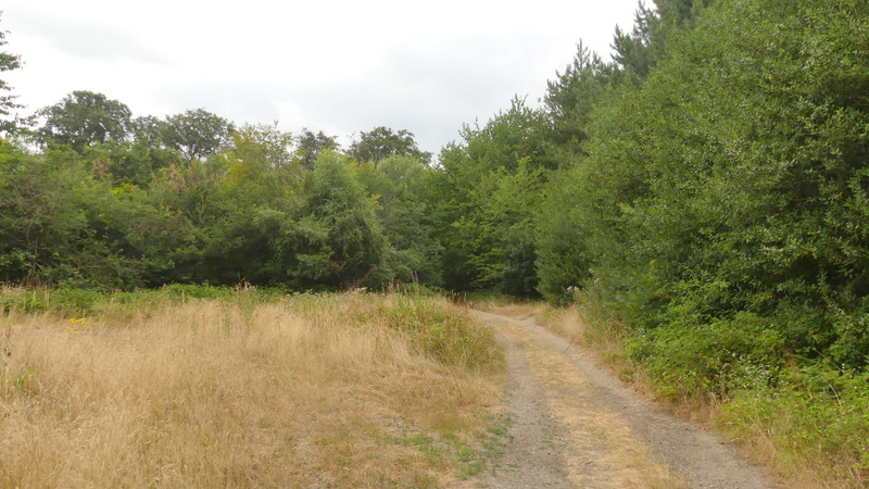
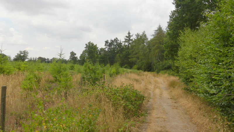
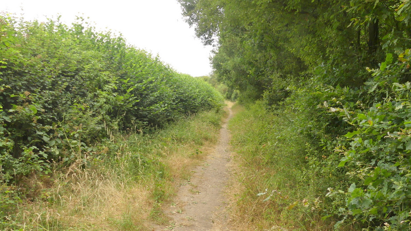
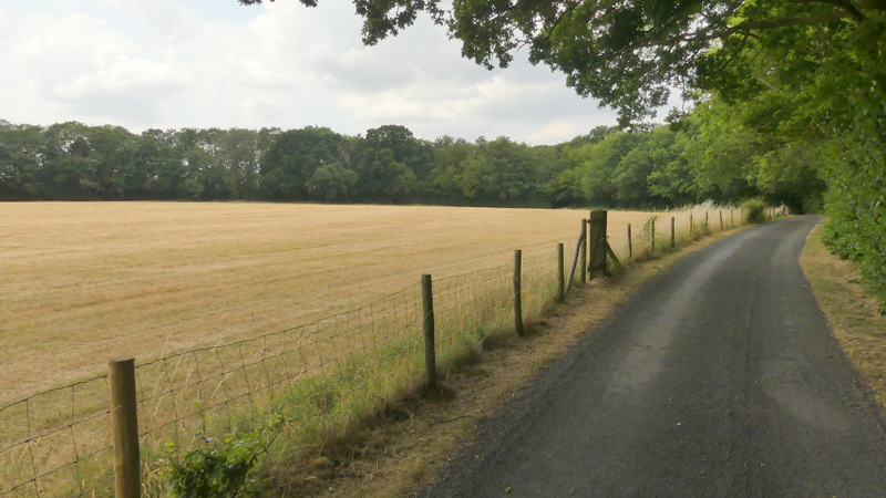
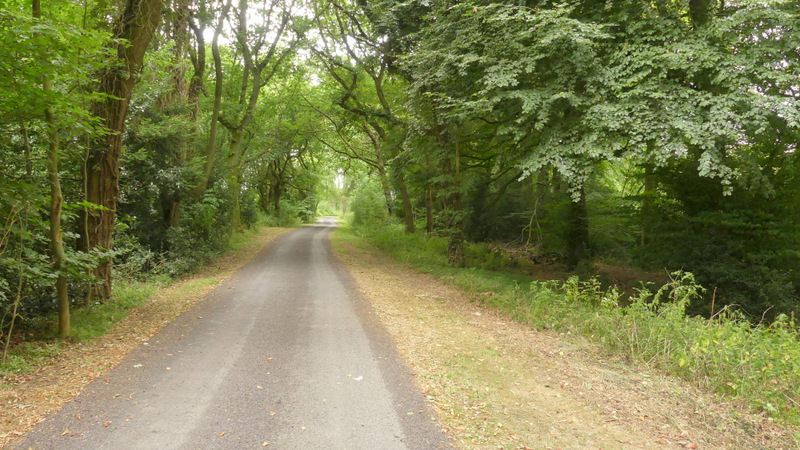
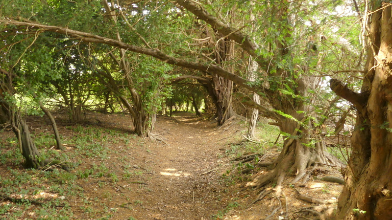
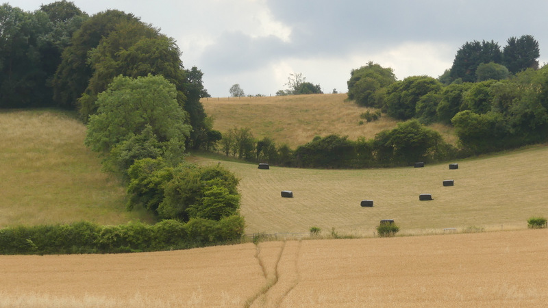
From the church gate, I continued through the car park on West Wycombe Hill and at its end took a path through long grass, On reaching a track I followed it left, soon passing a cottage or house to my right. The path continued through woods for about a mile (I kept right at an apparent fork somewhere, that I didn't remember), the path being very level as it followed the top of a ridge in a north-northwest direction. Eventually it brought me to Nobles Farm.
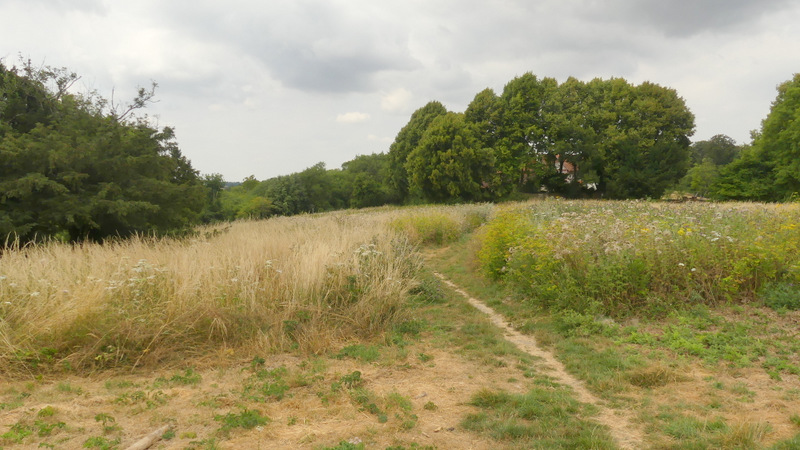
The start of the path going north-northwest from West Wycombe Hill
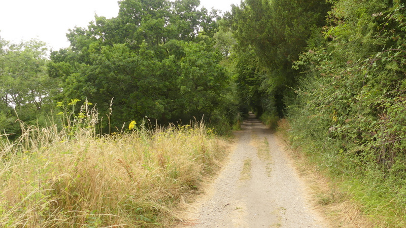
The path going north-northwest from West Wycombe Hill
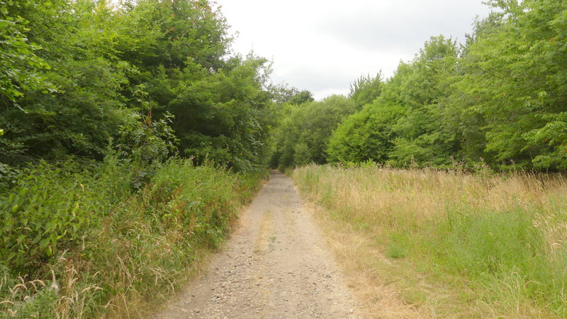
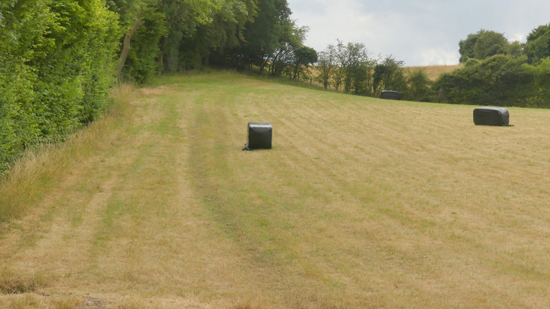
The path going north-northwest from West Wycombe Hill
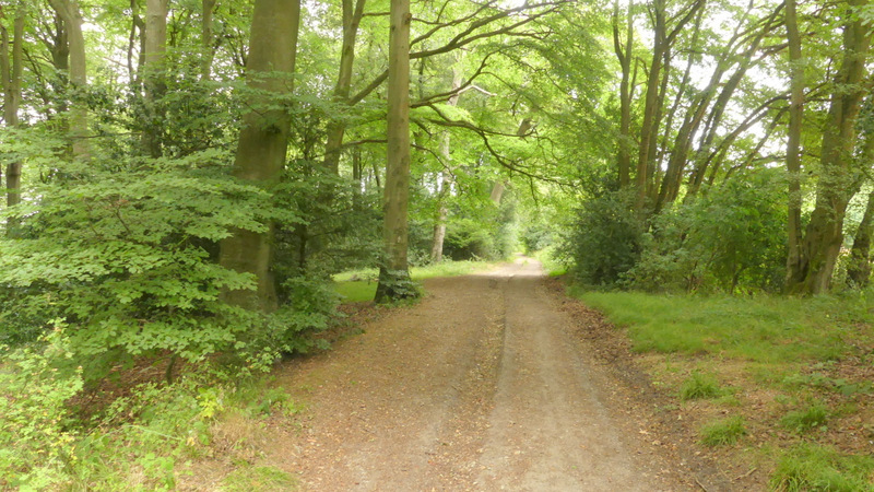
The path going north-northwest from West Wycombe Hill
The path going north-northwest from West Wycombe Hill
The path going north-northwest from West Wycombe Hill
The path approaching Nobles Farm
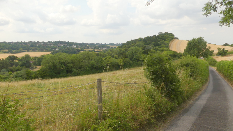
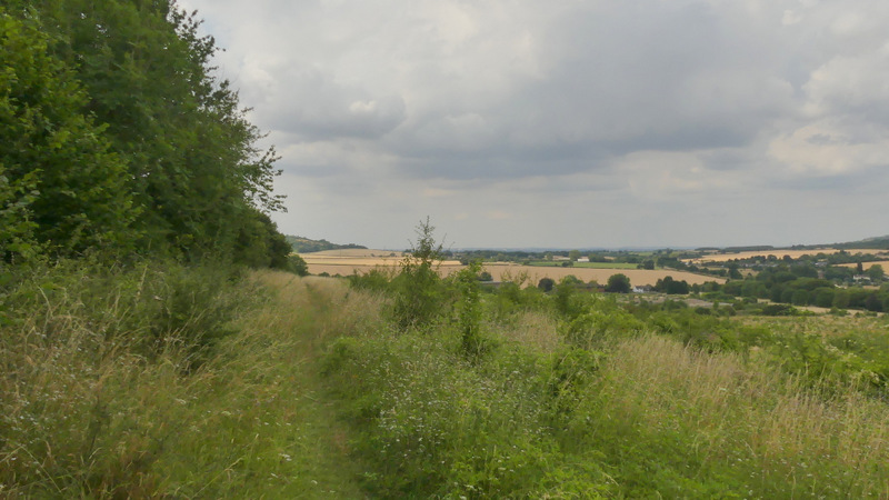
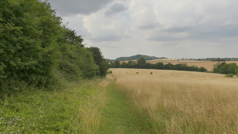
I continued straight on along the tarmac drive from Nobles Farm, soon passing a point where there was a deliberate dip in the hedge on my right, so that a fine view across the valley on my right could be seen. The drive continued beside Allnut's Wood with paddocks on my left, then passed through part of the wood before descending between hedges to reach Slough Lane. Across the lane, a path continued along the edge of a corn field, rising up Slough Hill. Near the top of the slope the path entered the trees on the right, but continued in more or less the same direction. There were a few Yew trees here, just before I reached the top of the small hill.
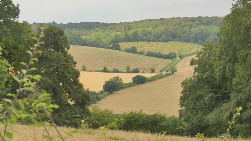
View left from just past Nobles Farm
The drive from Nobles Farm
The drive from Nobles Farm
The drive from Nobles Farm, approaching Slough Hill
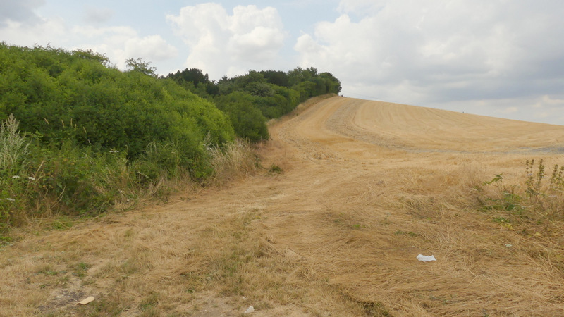
Slough Hill
The path passing the Yew trees on Slough Hill
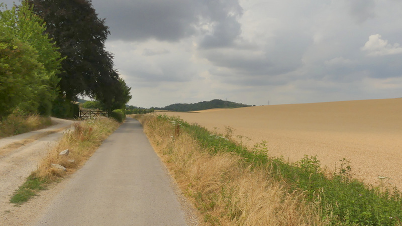
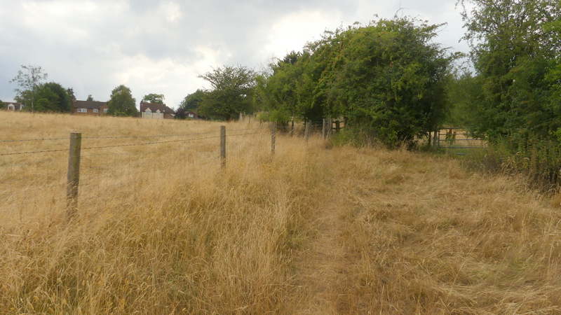
The path continued straight on from Slough Hill, descending slowly and pleasantly along the left edge of some overgrown meadows. On reaching Haw Lane, I turned left, following it downhill and then turning right along a bridleway at the valley bottom. I passed a cottage or bungalow on my left, then turned left onto a footpath that started at a gate immediately before a garden hedge. This path crossed a large corn field, then rose uphill along the left of a meadow. In the next meadow or pasture it started along the left edge then turned and headed to the far right corner. Now level, the path ran between fences for a hundred yards or so to bring me back to the road through Bledlow Ridge, where I turned left to return to where I'd parked.
The path descending from Slough Hill
The path descending from Slough Hill
The bridleway from Haw Lane
The path back up to Bledlow Ridge
The path back up to Bledlow Ridge
The path approaching Bledlow Ridge
This was another very warm day, although the skies remained grey and overcast for most of the time I was walking. In fact it was so hot (about 25C) that I regretted I'd forgotten to bring a third litre of water with me, which I usually do on very hot days - I had to ration my water intake in the afternoon, and finished the last few drops from my second litre bottle as I reached the top of the hill at Bledlow Ridge. I enjoyed the walk far more than I'd expected too - apart from the route from Lodge Hill across the Saunderton Valley and then the bridleway from Downley to West Wycombe, most of the paths were ones I'd used very frequently before, yet the only section I found I was a bit over-familiar with was the path north from West Wycombe Hill. Considering the route basically follows the tops of hills either side of a valley it was surprisingly up and down, with a total of seven noticeable uphills. There were nice views to be had most of the way round, and where there weren't views it was usually because I was in woodland. It's certainly a route I'd like to do again sometime.