Pete's Walks - Sonning Common and Mapledurham (page 1 of 5)
If you are considering walking this route yourself, please see my disclaimer. You may also like to see these notes about the maps and GPX files.
Google map of the walk Download GPX file of the walk (NOTE the gpx file is based on an older version of the map that was very inaccurate around Barn Wood)
I did this circular walk of about 12.4 miles on Saturday, 18th August 2018. It was a repeat of a walk I first did in December 2016, but walked in the opposite direction (clockwise).
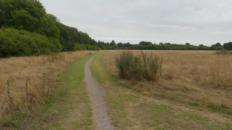
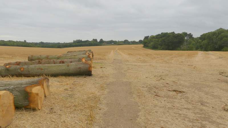
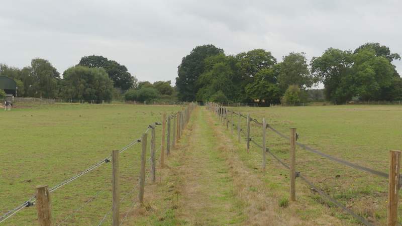
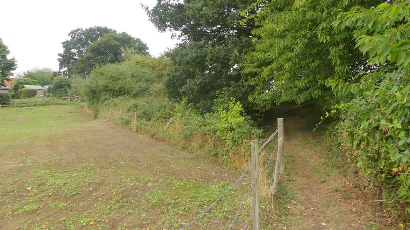
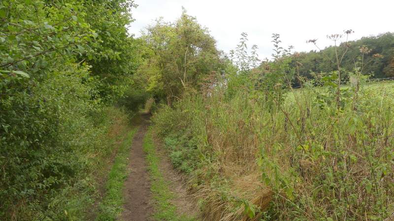
I parked at the Millennium Green in Sonning Common (grid reference SU714795), where there is a bay with room for a couple of cars, plus disabled parking for two more. I started walking about 10:10am, going along a long edge of the green with a hedgerow on my left. When the path turned right in the corner, it entered some trees and soon came to a fork where I kept left and immediately went through a small gate on the left to reach a lane. I turned right, and at the end turned left along a minor road heading out of Sonning Common, with a row of houses on my left. Opposite a bus stop, a took a footpath on the right that crossed a huge field that was now stubble (I wondered where the tree trunks and stack of wood by the start of the path had come from, but it was soon apparent that they came from the copse I passed over to my right, where the centre had been completely taken out leaving just a ring of trees). Beyond this field, the path ran between fences with paddocks either side, beyond which it turned left and ran along the right edge of a garden past a house to reach a lane in Chalkhouse Green.
The Millennium Green, Sonning Common
The road on the edge of Sonning Common
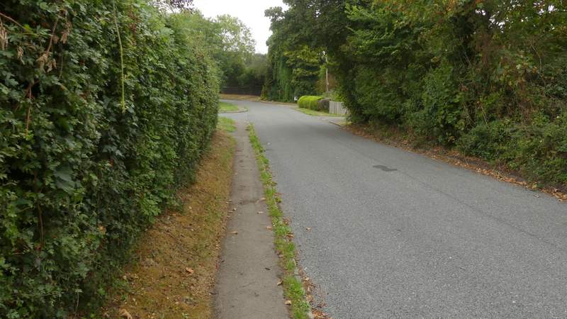
The path to Chalkhouse Green
The path to Chalkhouse Green
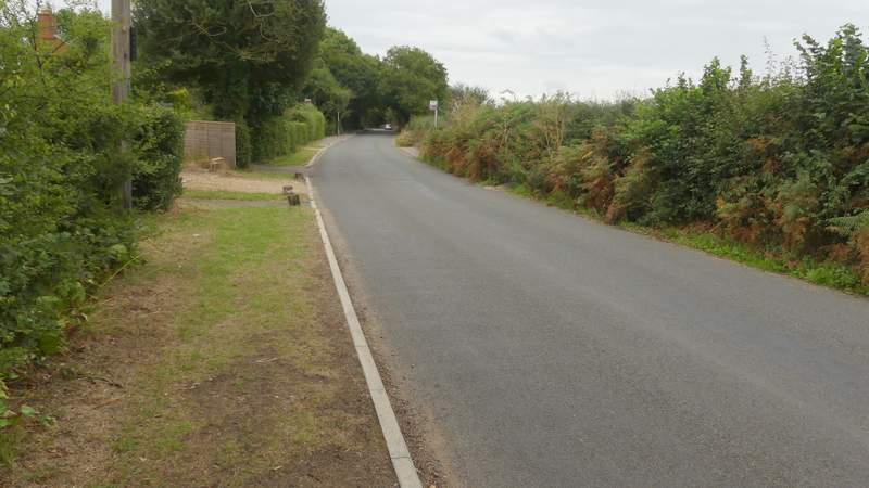
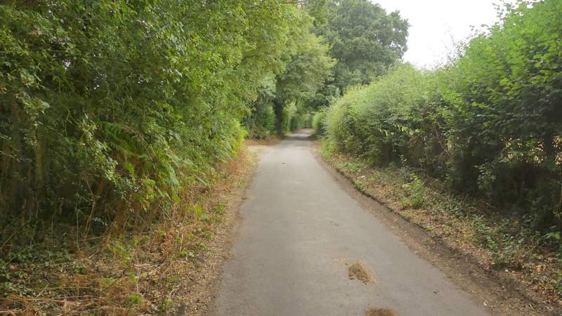
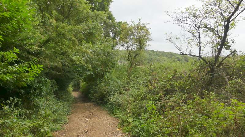
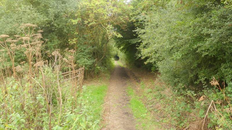
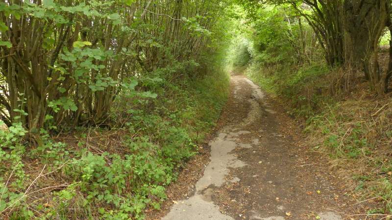
I turned right along the lane. After about a quarter of a mile it ended at a bend in a minor road, where I went straight on, following the road where it then turned right at a junction with a lane coming in from the left. After the last property on the left, I turned left down a restricted byway that dropped downhill into a valley bottom, where it turned left and continued between hedgerows for several hundred yards before turning right and heading up the opposite slope of the valley. It was now a roughly surfaced track, and further on became almost a lane as it reached Tokers Green, where I went left where the lane forked.
The path to Chalkhouse Green
The lane at Chalkhouse Green
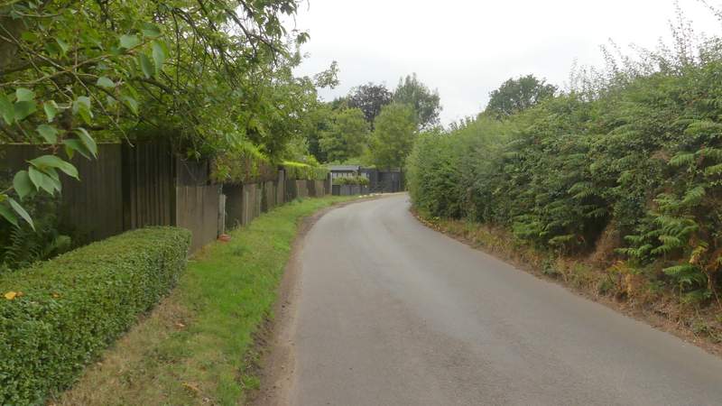
The minor road Chalkhouse Green
Near the start of the restricted byway from Chalkhouse Green to Tokers Green
The restricted byway from Chalkhouse Green to Tokers Green
The restricted byway from Chalkhouse Green to Tokers Green
The restricted byway from Chalkhouse Green to Tokers Green/p>

The restricted byway from Chalkhouse Green to Tokers Green

The restricted byway entering Tokers Green
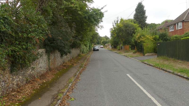
I then turned left along a street for a few yards, before going down Rokesby Drive on the other side. I followed this street for about half a mile, and at its end in Chazey Heath I turned left along a main road heading to Reading (the A4074). AFter a quarter of a mile or so, I took a minor road on the right, then after maybe 50 yards turned left along a bridleway.
Rokesby Drive
Rokesby Drive
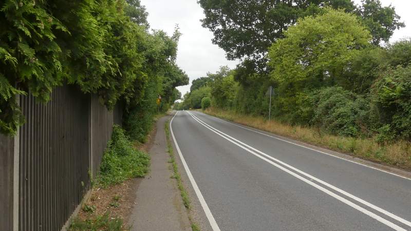
The road at Chazey Heath