Pete's Walks - Cadmore End, Radnage, Crowell Hill (page 5 of 6)
If you are considering walking this route yourself, please see my disclaimer. You may also like to see these notes about the maps and GPX files.
Just as Lott Wood ended, I took a path going right which rose uphill just inside the edge of Lott Wood. At the top of the slope, it left the wood and continued alongside a hedgerow on my left. The path then dropped downhill through a grassy field, before continuing between paddock fences to reach the drive to Hallbottom Farm. Here I went right, but when the drive immediately turned sharp left, I went straight on along a fottpath into a wood. On reaching a path T-junction I turned left, this path fairly soon leaving the wood and crossing an overgrown area before going to the right of a shed and returning to the drive from Hallbottom Farm. I turned right, and followed the drive for about a quarter of a mile to reach Stokenchurch. At the end of the drive, I turned right by a pub, following a street that soon curved left to meet the main road through Stokenchurch (the A40), where I stopped to sit on a bench to eat a very late lunch (it was now about 2.20pm).
The path along the edge of Lott Wood, after I turned right
The path continuing towards Hallbottom Farm
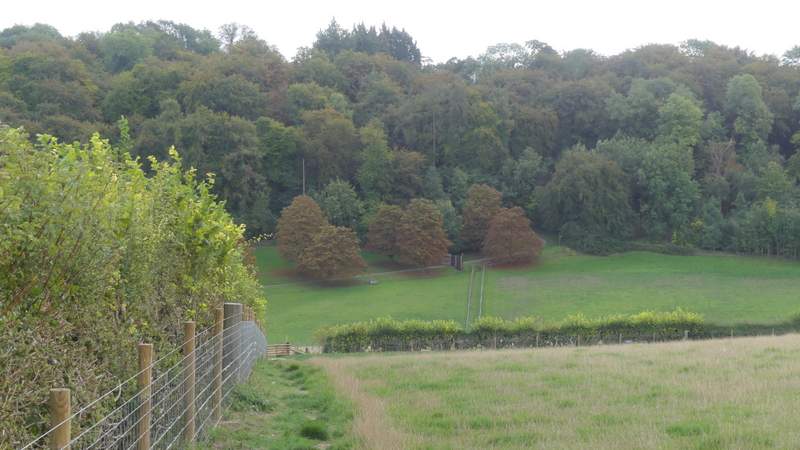
View left, back towards Bledlow Ridge
The path continuing towards Hallbottom Farm
The path going right from a turn in the drive to Hallbottom Farm
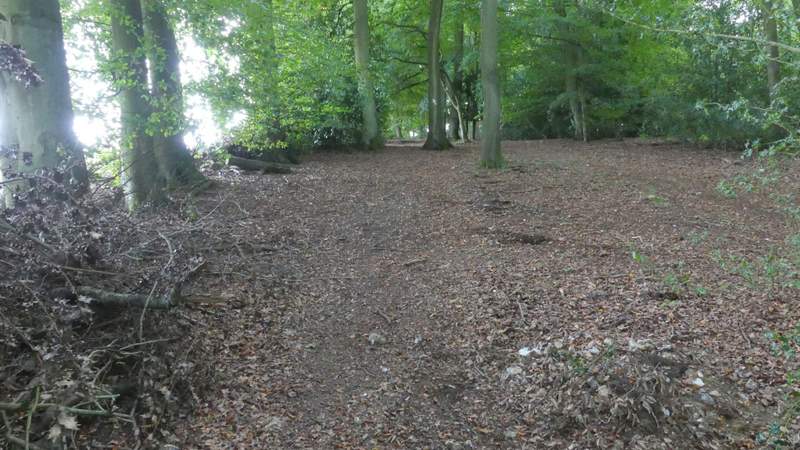
The Path after I turned left at a path T-junction
The path after it leaves the wood
Back on the drive from Hallbottom Farm, heading into Stokenchurch
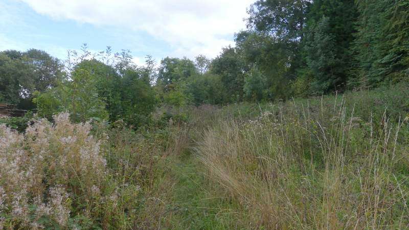
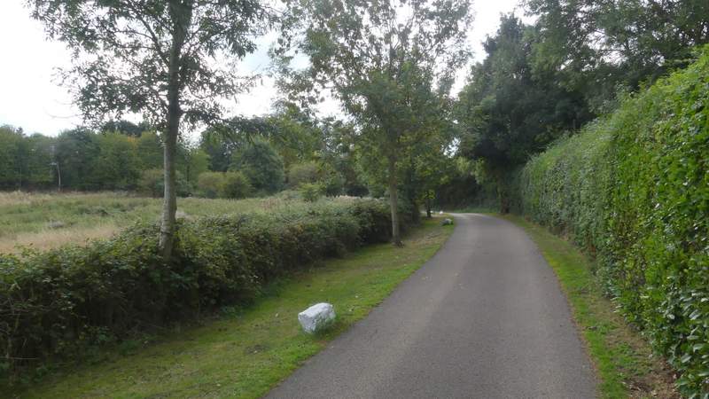
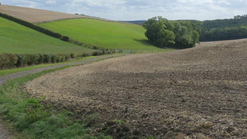
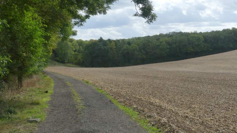
I went a few yards left along the A40, then took a street on the other side. Beyond a traffic island, the street dropped slightly downhill to a junction, where I went straight on down the drive to Chiltern Vale Farm (according to a sign - the OS map shows this used to be Coopers Court Farm). The drive soon went under the M40 and then I turned left along another farm track, immediately having to go over a stile to the right of a gate. The track turned slightly right and descended very slightly - the path should have forked right across part of a field where the track turned left at one point, but as it hadn't been re-instated after ploughing I just followed the track to reach the point where the path crossed the track and entered Penley Wood on my left.
Near the start of the path going south from Stokenchurch
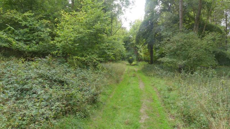
I stayed on this track, the path actually cuts across part of the field but hadn't been re-instated after ploughing
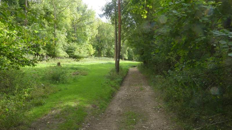
Penley Wood
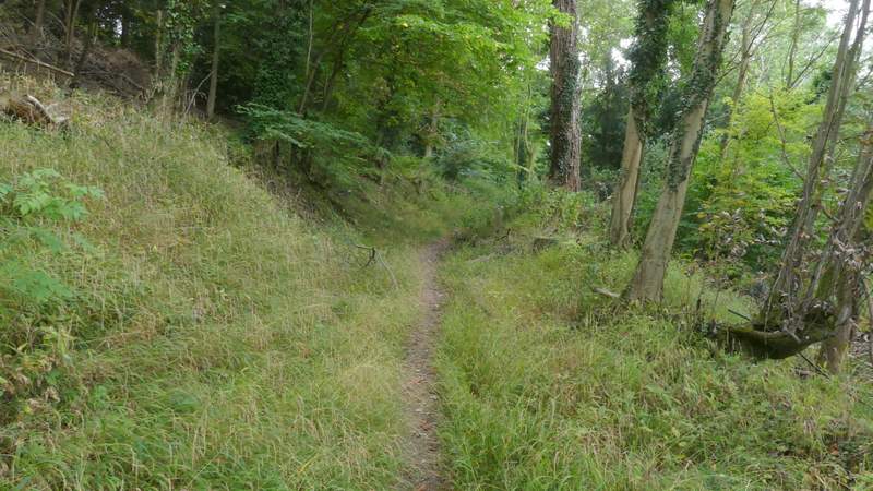
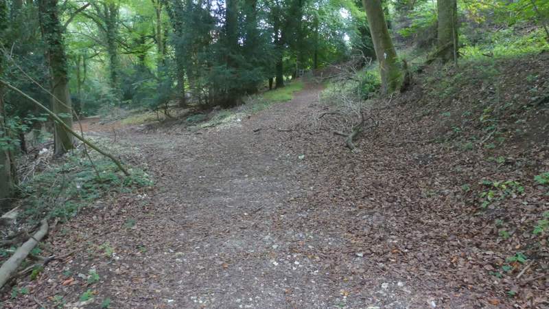
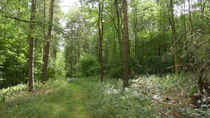
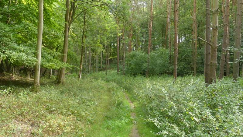
I now had a long section following this path along a track through a wooded valley bottom. After half a mile or so I passed a junction where a path came down from the left, then passed two junctions where paths went right. I then looked carefully for a point where the path forked slightly left from the track (there was an arrow on a tree, but it was hidden behind leaves and branches). The path rejoined the track after a hundred yards or so and then a little further I came to a path junction in Twigside Bottom (I usually refer to the whole valley by this name, but it may well just be the name of this section of the valley).
Penley Wood
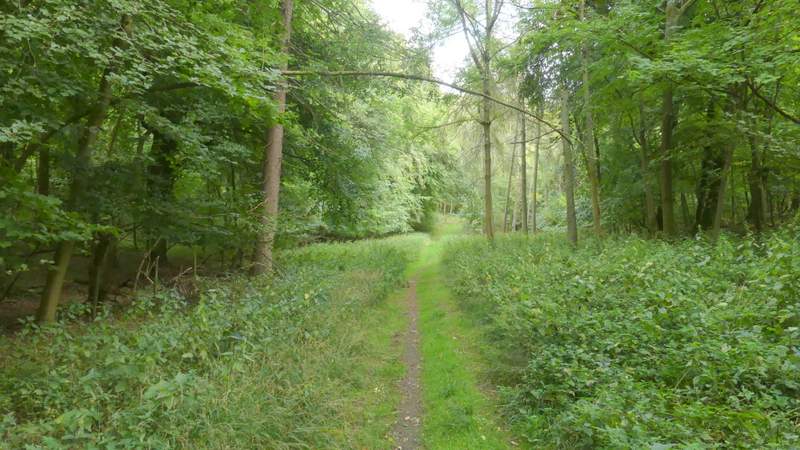
Penley Wood
Penley Wood
Penley Wood
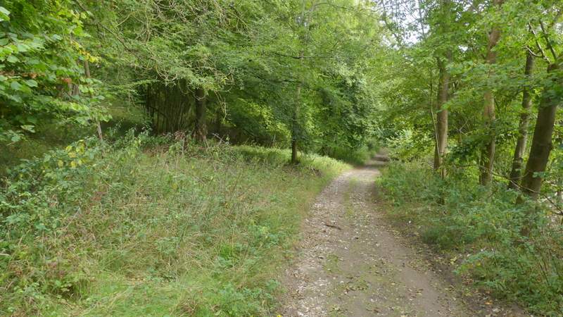
This is where the footpath temporarily leaves the track (for about 100 yards)
Back on the track
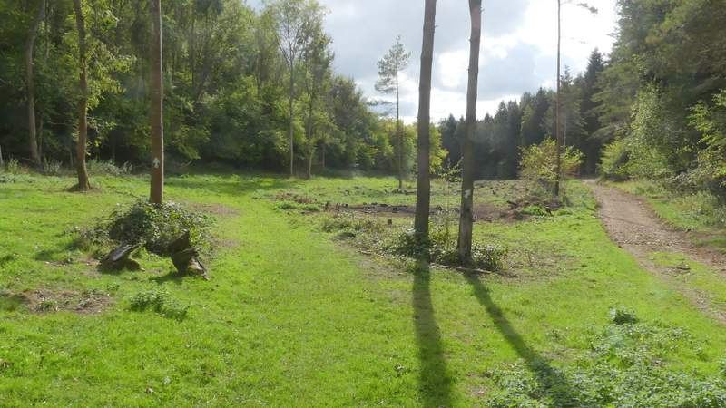
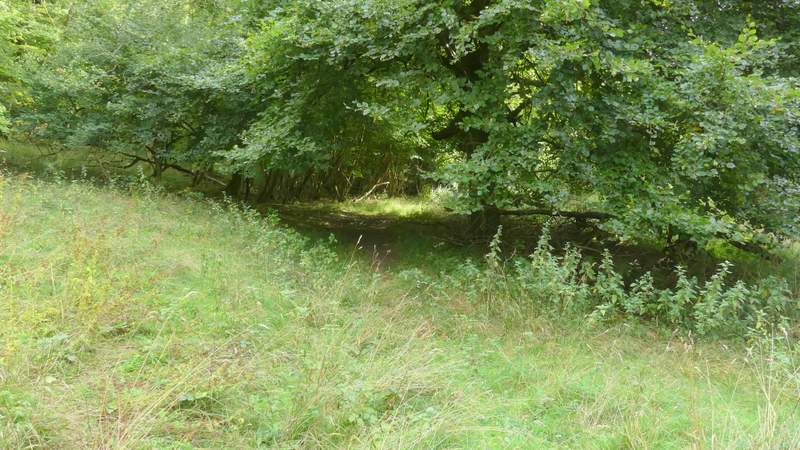
Path junction at Twigside Bottom, where I forked left from the track