Pete's Walks - Malvern Hills walk (page 6 of 6)
If you are considering walking this route yourself, please see my disclaimer. You may also like to see these notes about the maps and GPX files.
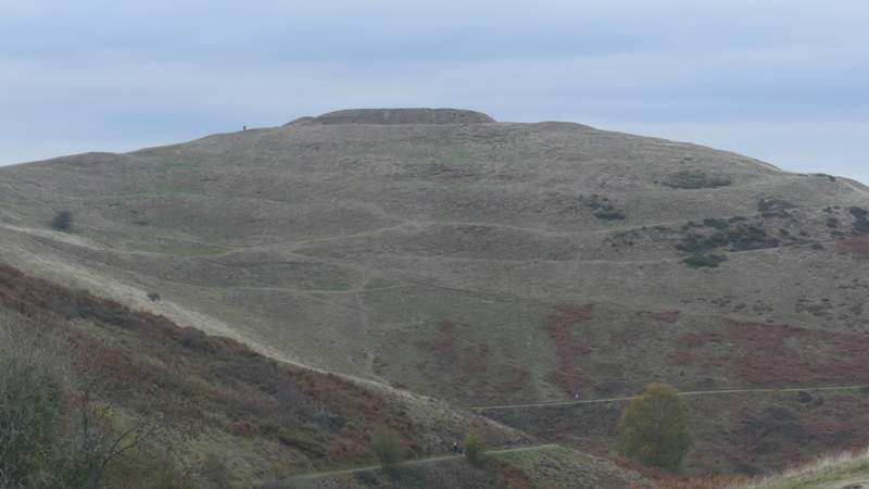
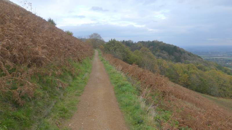
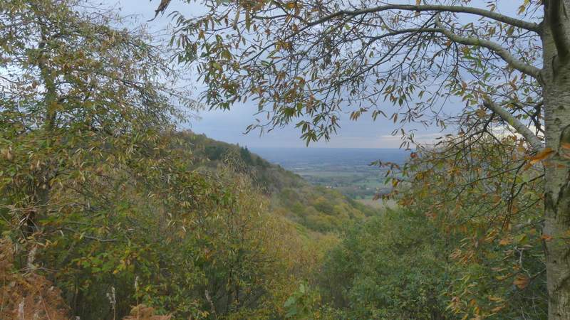
Although I hadn't walked too many miles, I'd done a lot of uphills, many of them longer than I'm used to in the Chilterns, and my legs felt really tired now as I slowly plodded my way up the surfaced path to the top of British Camp (also known as Herefordshire Beacon). Despite the grey conditions, there were still splendid views that gave me every excuse to stop 'just to take a photo'! In a few places there were flights of steps, usually where the path crossed one of the several ditches and embankments of the Iron Age hill fort. I got to the top eventually (I haven't struggled uphill like that for a long time), where not only were there yet more amazing long-distance views, but I could now see pretty much the full extent of the enormous hill fort (actually I've just read that the upper part could have been enlarged when a mediaeval castle was built here). Looking north, I could see almost all of the ridge I'd walked earlier. I now carried on along the top of the hill, thoroughly enjoying the experience of being in a place that was of such historic interest and had such glorious views.
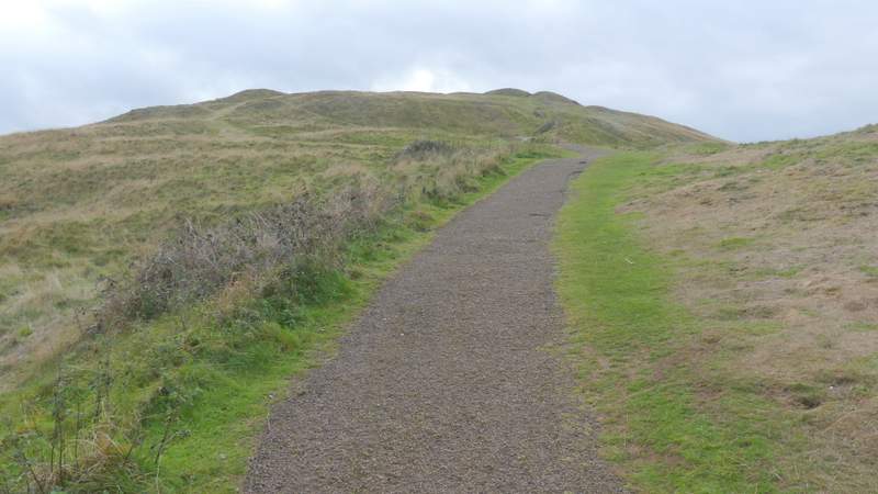
The path up British Camp
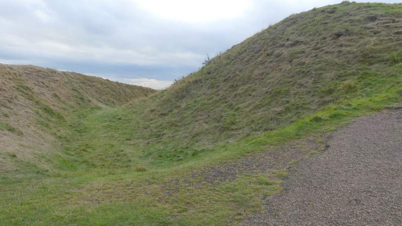
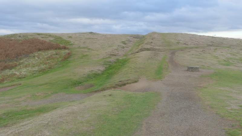
The top-most ditch of the Iron Age hill fort
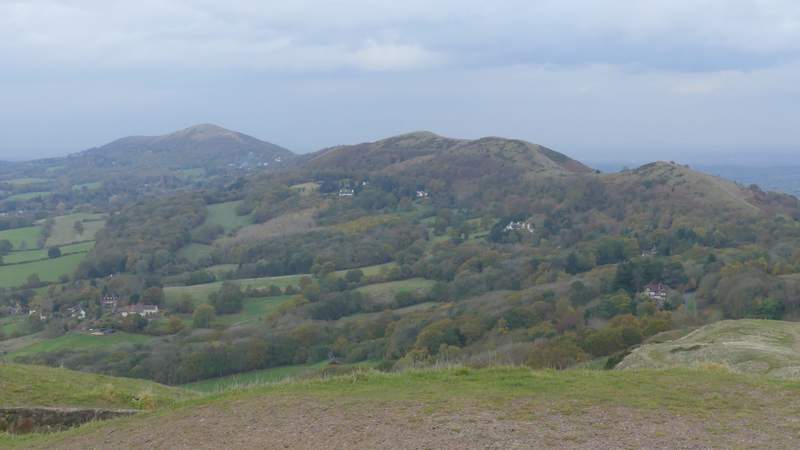
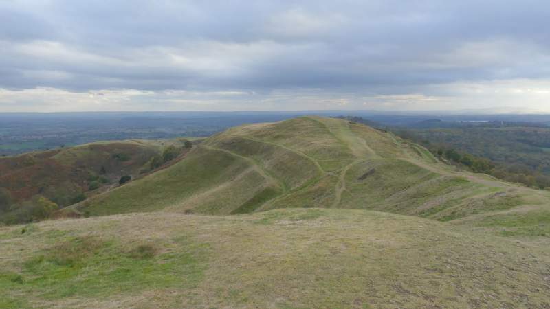
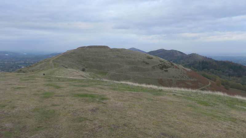
Looking north from British Camp over the hills I'd walked over earlier
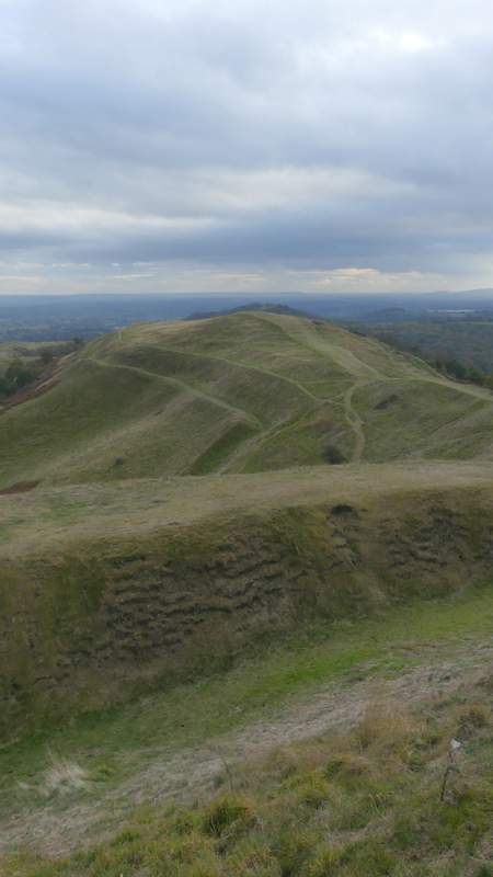
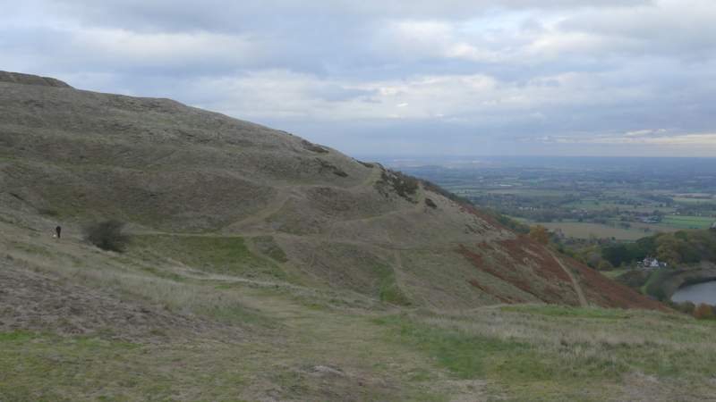
The top section of the Iron Age hill fort
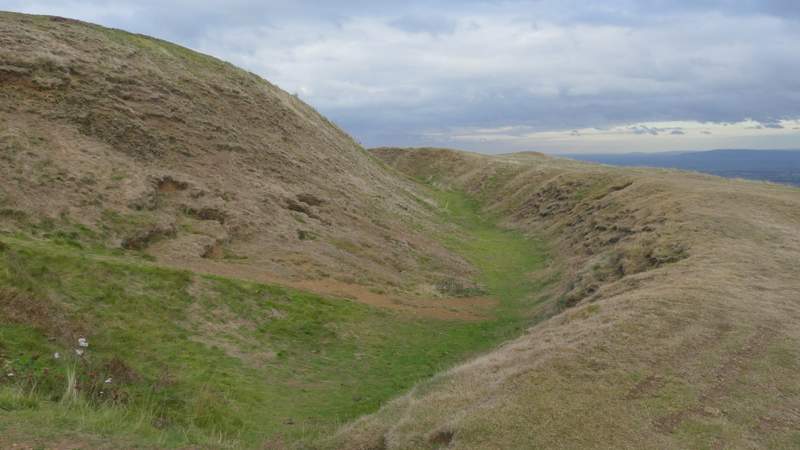
The top-most ditch of the Iron Age hill fort
The top section of the Iron Age hill fort (actually this might have been a mediaeval 'extension', when a castle was built at the highest point of the hill)
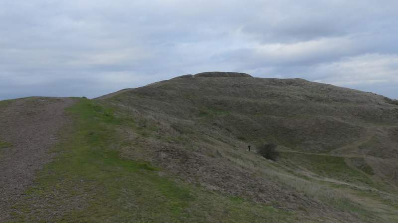
Looking back to the highest point of British Camp
Looking back at the eastern flank of British Camp
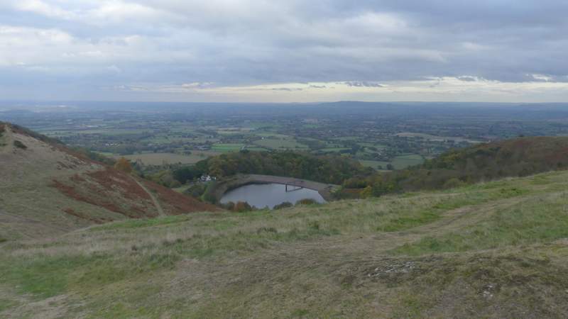
Looking east from British Camp, over British Camp reservoir
Looking back to the highest point of British Camp
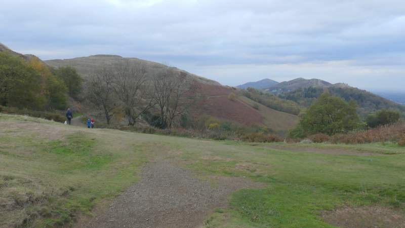
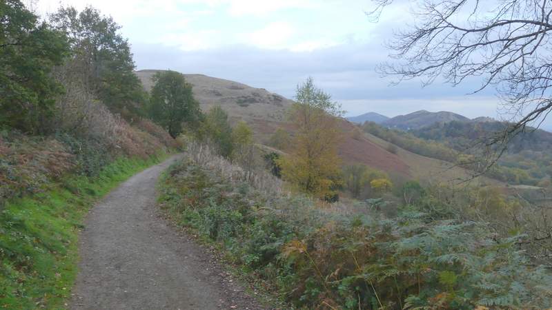
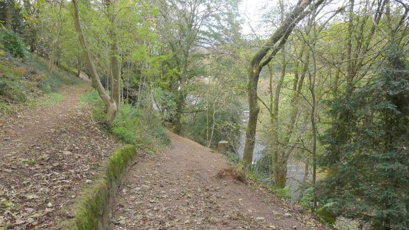
Having struggled so much on the climb up to the top of British Camp, I'd now got my second wind and as I descended the southern end of the hill fort I looked along the ridge and decided I could make it to the next tiny hill southwards - it looked about half a mile away, with very little up and down involved. But when I then turned right at a path crossroads to head that way, there were some spots of rain and I decided I'd better not push my luck (it did rain as I drove back to Ludlow, so this was probably a sensible decision). So I turned round, going straight on at the crossroads (as if I'd gone left on coming down from the hill fort) and followed a very pleasant path, about half a mile long, that contoured round the eastern side of British Camp and took me straight back to the car park.
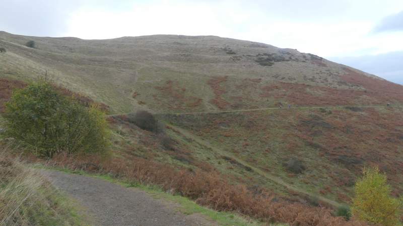
Descending the southern end of British Camp - I was going to turn right by the circular stone marker to go on to the next minor summit, but a few spots of rain deterred me so I went left instead, and followed a clear path back to the car park
The start of the path back to the car park
British Camp, from the south
The path back to the car park
The path back to the car park
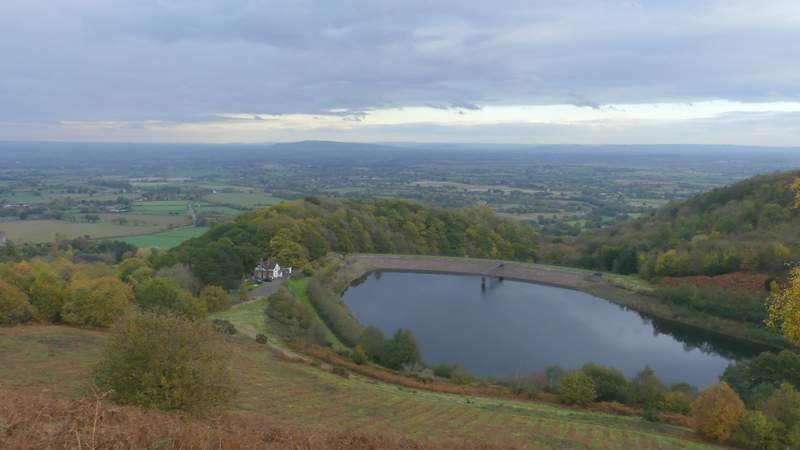
Looking east, over British Camp reservoir
The path back to the car park
Looking east
Approaching the car park for British Camp
This was an absolutely fabulous walk, and is a day I'll remember for a very long time. I'm used to the wonderful 180 degree views looking northwest from the Chiltern escarpment, but here the long-distance views were almost 360 degrees. Even on the paths along the eastern or western flanks of the ridge, the 180 degree views were pretty amazing. Again I'm used to seeing Iron Age hill forts in the Chilterns, but none of them are anywhere near the scale of the one on British Camp. My plan of following the top of the ridge in one direction and then following a lower level rout back the other way worked well for me, giving some variety and letting me see another aspect of the Malvern Hills. The lower paths were quieter too - my only concern with the path along the top of the ridge was that there were quite a lot of other people about, and if it was like that mid-week at the very end of October just how busy does it get at summer weekends?