Pete's Walks - Pitstone Hill and Grand Union Canal (page 1 of 4)
If you are considering walking this route yourself, please see my disclaimer. You may also like to see these notes about the maps and GPX files.
Google map of the walkDownload GPX file of the walk
I did this circular walk of roughly 8.5 miles miles on Sunday, 25th November 2018. It was a repeat of a walk I first did in November 2013 but this time I walked it in the anti-clockwise direction for the first time. It is a cut down version of my Pitstone Hill and Wigginton walk (Walk 4 of my Chiltern Chain Walk), shortened simply by following the towpath of the Grand Union Canal from Tring Station to Cow Roast. I had intended to do a longer walk today, but I had a particularly poor night's sleep and consequently felt pretty rough this morning and needed far more time than usual before I could set off.
I parked in the car park for Pitstone Hill (grid reference SP 954148) and started walking about 11am. I went straight up and over the 'hillock' by the car park, then joined the Ridgeway national trail as it followed an intermittent hedgerow on my left as it climbed gently to the top of Pitstone Hill. Here I turned left, following part of the ancient earthwork called Grim's Ditch as it slowly descended across the western slope of the hill.
The 'hillock' by the Pitstone Hill car park/p>
View back over the car park towards Ivinghoe Beacon and Steps Hill, from the hillock
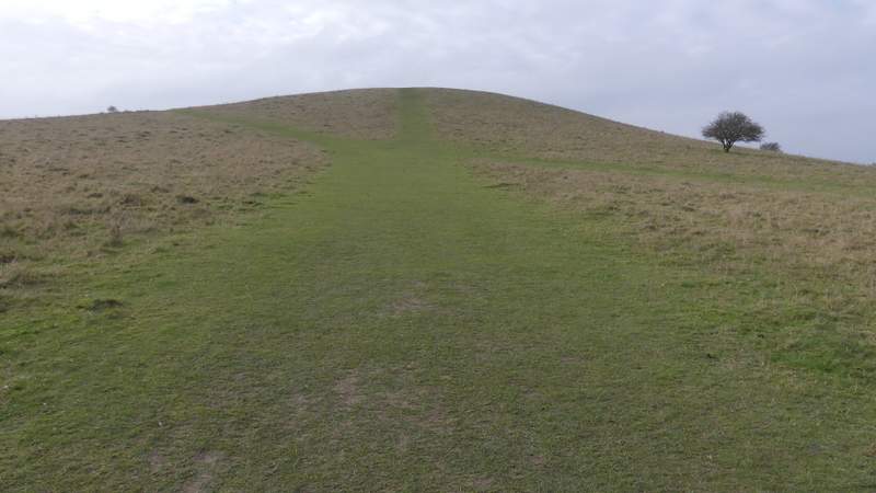
The path to Pitstone Hill from the hillock
The path up Pitstone Hill (the path to the right of the hedge)
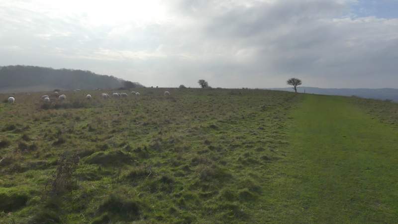
Pitstone Hill
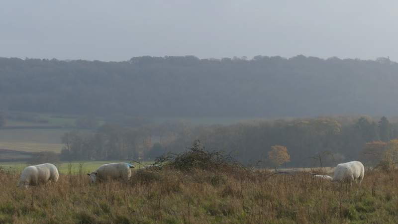
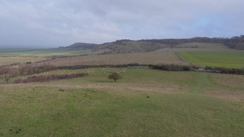
Looking left towards Ashridge, from Pitstone Hill
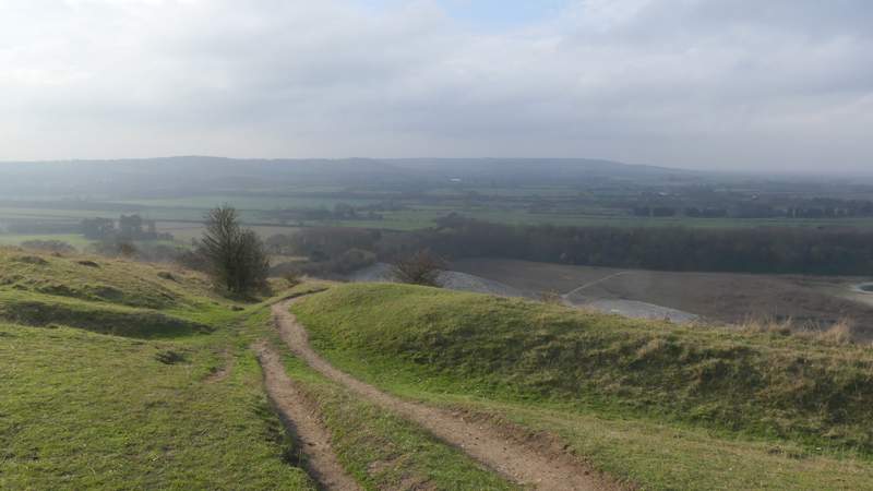
The start of the descent along Grims Ditch on Pitstone Hill
Grims Ditch on Pitstone Hill
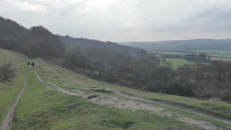
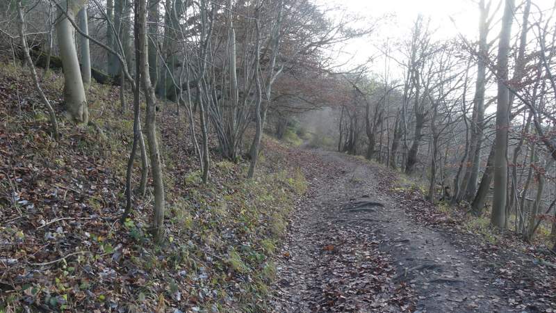
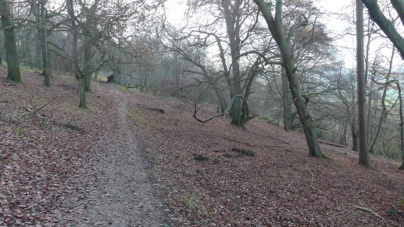
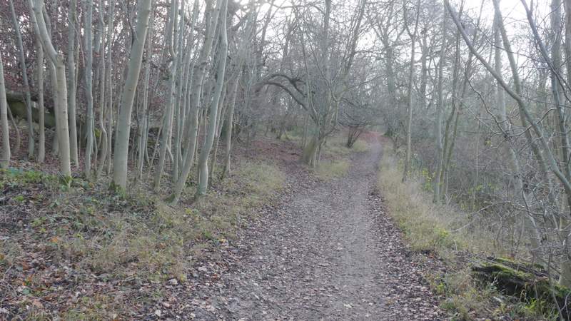
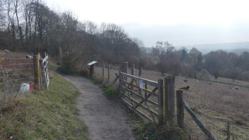
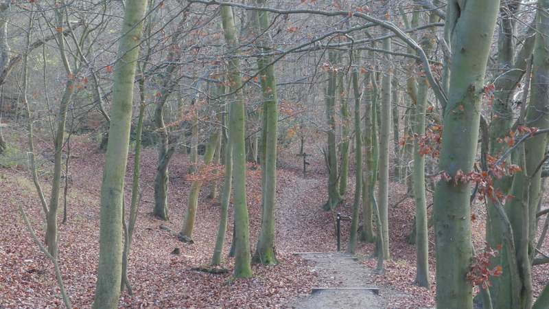
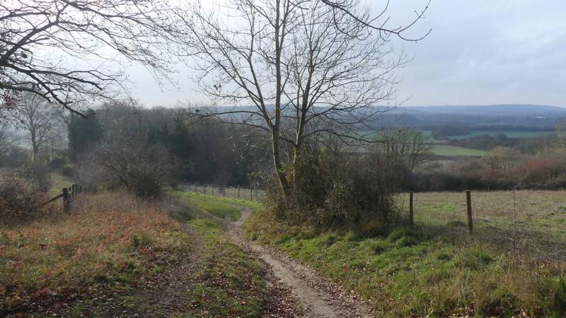
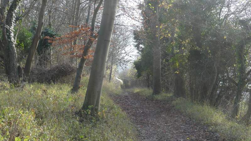
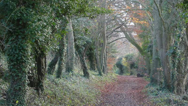
Through a gate I continued through a wood for about half a mile (I still don't know if Aldbury Nowers is the name of the wood or the hill it covers), the Ridgeway then briefly passing a more open area that is part of the Aldbury Nowers nature reserve. Briefly back in the woods, I dropped down a flight of 'steps' and turned right at a T-junction (another path had just gone right a few yards before this). The Ridgeway continued through another bit of the reserve, then turned left at a path junction. After following a bridleway between tall hedges for almost another half mile, I turned right at a crossroads of bridleways. This soon brought me to a road, where I turned right and followed the road into Tring Station.
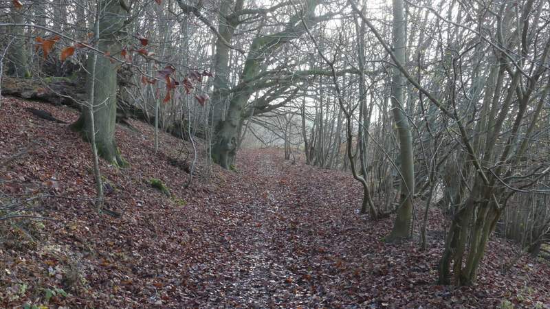
Aldbury Nowers
Aldbury Nowers
Aldbury Nowers
Aldbury Nowers
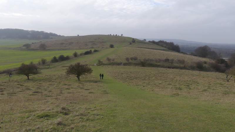
The Ridgeway passing through the Aldbury Nowers nature reserve
Aldbury Nowers
The Ridgeway passing through the Aldbury Nowers nature reserve
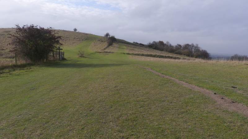
The bridleway continuing from Aldbury Nowers
The bridleway continuing from Aldbury Nowers
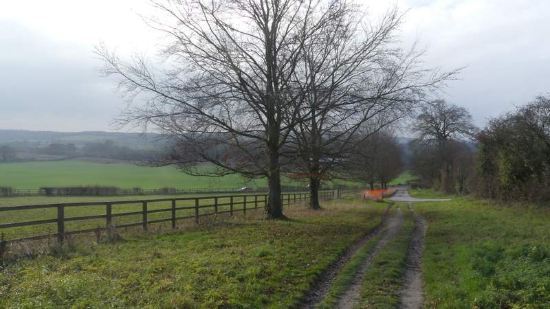
The bridleway after I turned right at the bridleway crossroads
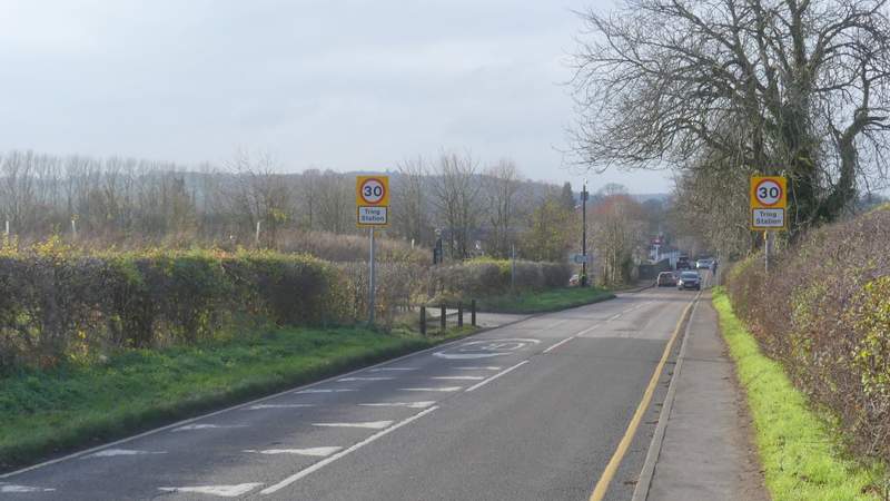
The road into Tring Station