Pete's Walks - Pitstone Hill and Grand Union Canal (page 3 of 4)
If you are considering walking this route yourself, please see my disclaimer. You may also like to see these notes about the maps and GPX files.
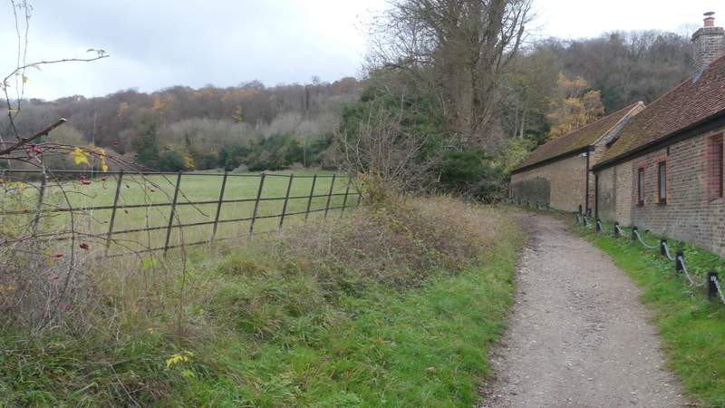
I went a few yards into the next field, then turned right through a tall gate in what I've always supposed is a deer fence. I was now on a byway, which rose quite gently uphill through a wood, then continued along a track into the hamlet of Tom's Hill. The byway continued as more or a less a lane through some of the woods of Ashridge. It soon came to a hairpin bend in a road, where I went straight on for a few yards then took a path that forked left and dropped slowly downhill through the woods to reach the edge of Aldbury. Here I went a short way down a street, then took a footpath on the right between garden boundaries. This turned right alongside the tall fence of the village allotments, then I turned left through a gate to cross the allotments and reach a street, where I turned right to reach the village centre with its pond and stocks.
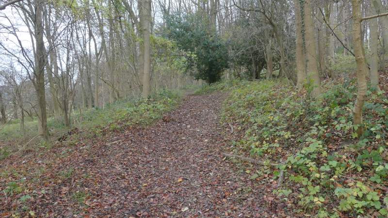
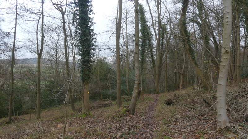
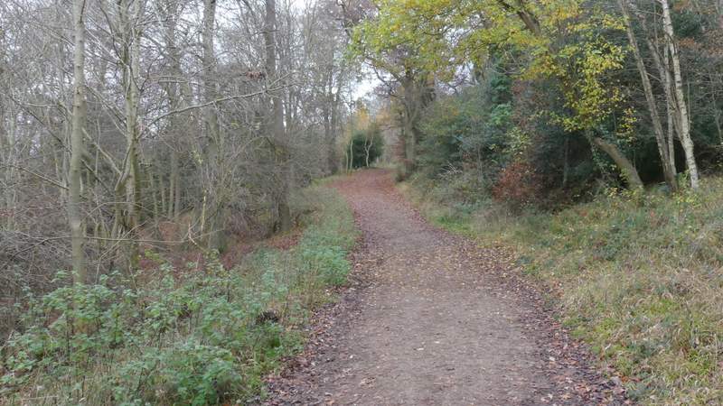
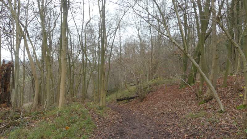
The path from Norcott Court Farm to Tom's Hill, going uphill through the wood
The path from Norcott Court Farm to Tom's Hill, going uphill through the wood
Approaching Tom's Hill
The lane from Tom's Hill
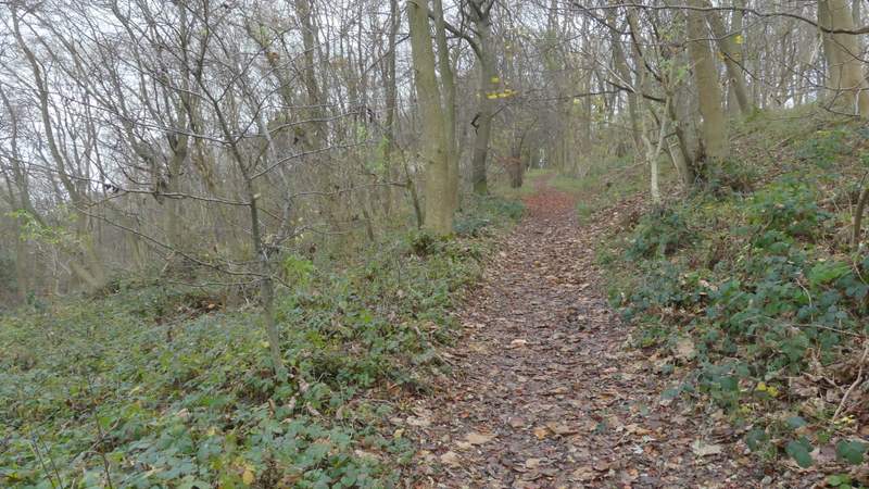
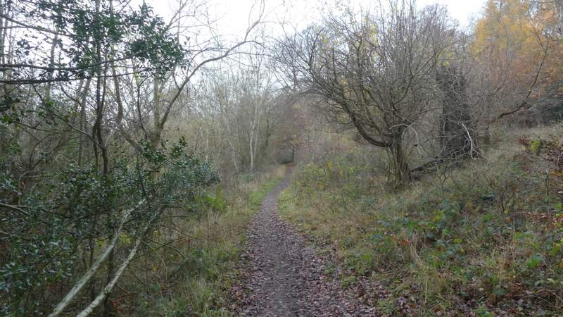
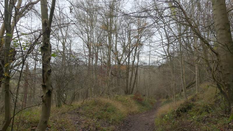
The path from near the hairpin bend, descending to Aldbury
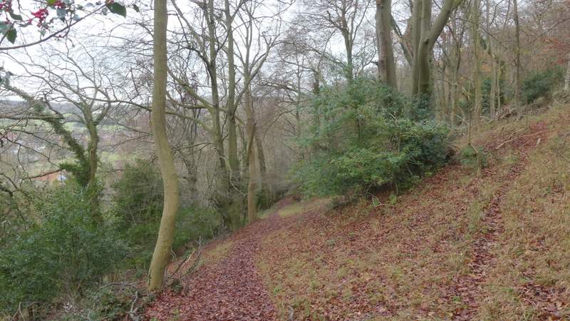
The path from near the hairpin bend, descending to Aldbury
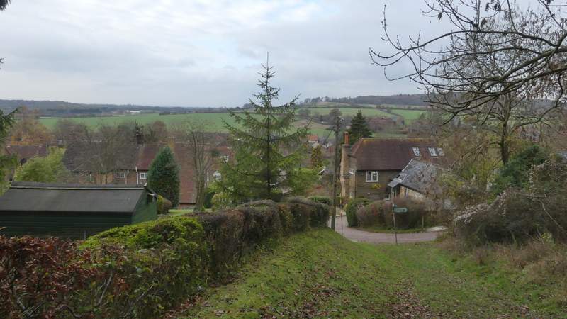
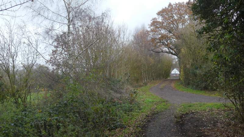
Entering Aldbury
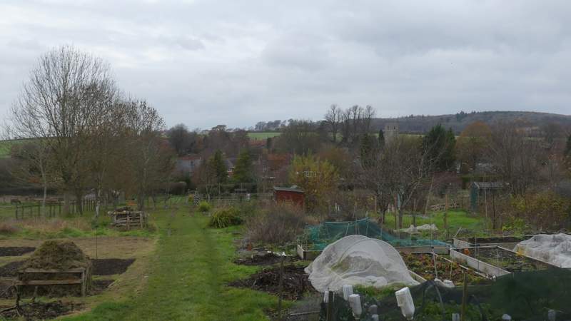
The allotments at Aldbury
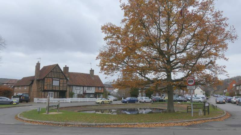
The centre of Aldbury, with the stocks and pond
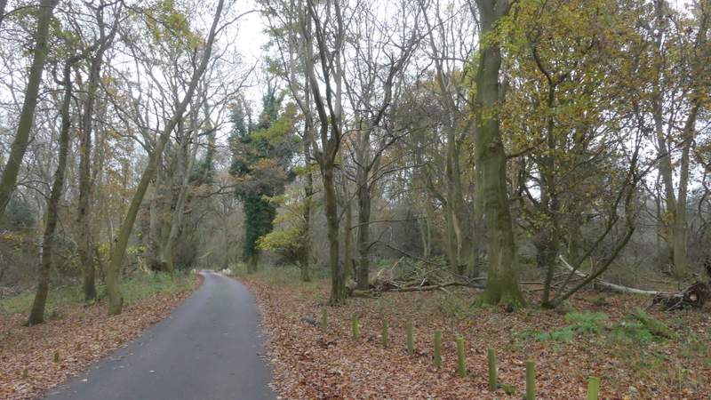
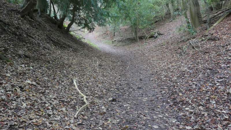
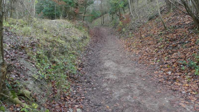
I turned right at a road junction here, but soon forked left along a bridleway that climbed uphill through more of the Ashridge woods (it was heading to the Bridgewater Monument and the National Trust tea shop, but I wouldn't be following it that far). This was the steepest part of today's walk, but somehow it didn't seem quite as long as usual. The gradient eased considerably when another bridleway came in sharply from the right, and after another 100 yards or so I forked left along another bridleway (instead of continuing up to the Monument). This bridleway stayed fairly level as it ran through the woods, with the Monument somewhere uphill to my right. On reaching a drive, I went straight on, soon passing a property named Tim's Spring on my left. Beyond this the bridleway turned half-left (a footpath came in from the right here) and started to drop back down hill.
The start of the bridleway from Aldbury to the Bridgewater Monument in Ashridge
The bridleway from Aldbury to the Bridgewater Monument in Ashridge
The bridleway from Aldbury to the Bridgewater Monument in Ashridge
The bridleway after it merges with one coming in from the right
The bridleway after I forked left, contouring round below the Monument
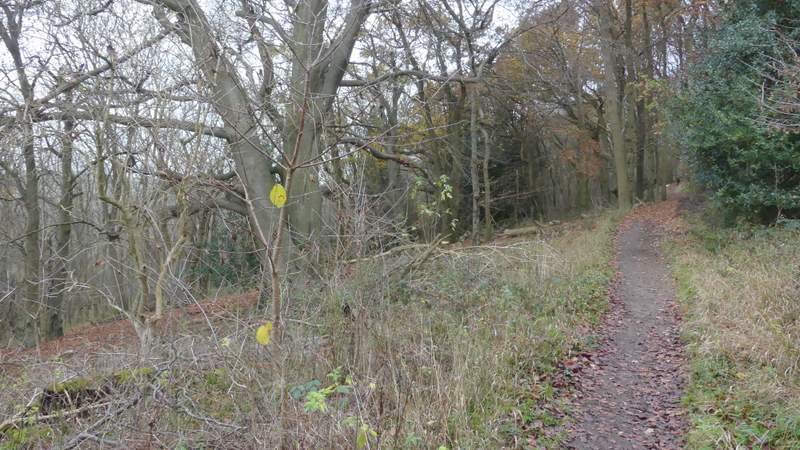
The bridleway after I forked left, contouring round below the Monument
The bridleway approaching Tim's Spring
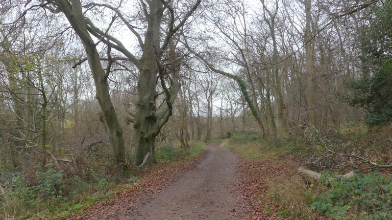
The bridleway descending through the woods of Ashridge
The bridleway descending through the woods of Ashridge