Pete's Walks - Southeast from Cadmore End (page 1 of 6)
If you are considering walking this route yourself, please see my disclaimer. You may also like to see these notes about the maps and GPX files.
I did this circular walk of about 13.8 miles on Wednesday, 26th December, 2018 (Boxing Day). It was a repeat of a walk I first did in November 2011, and again I walked it clockwise (I've walked the route anti-clockwise twice). The name I've given this walk is a little vague - it passes through Wheeler End very near the start and Frieth near the end, but otherwise doesn't really pass through any villages or hamlets that could sensibly lend their name to the walk.
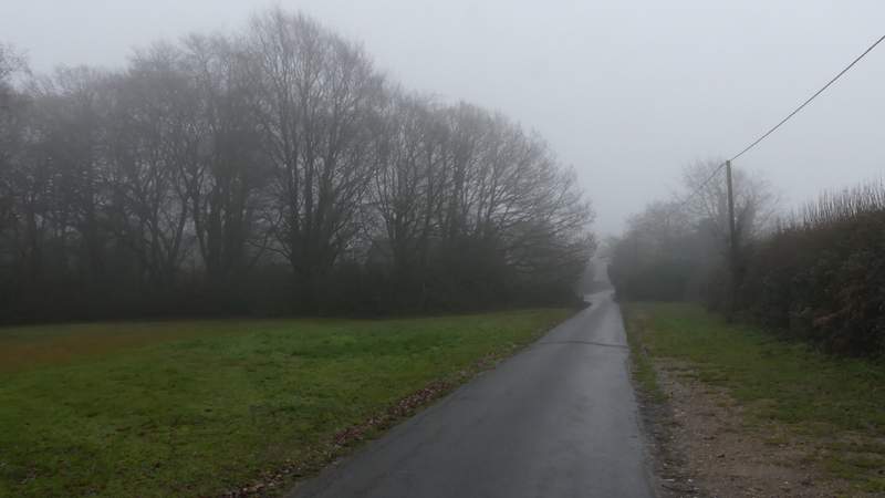
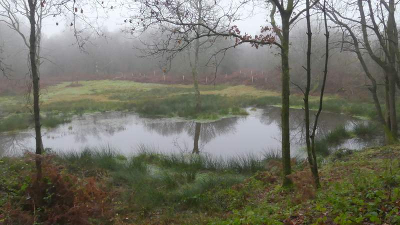
I parked near the start of Church Road (almost opposite the school) in Cadmore End (grid reference SU 783927). It was quite misty as I started walking at about 9.35am, and I was just hoping that the weather forecast was correct and the mist would soon clear away (one of the times I walked this route anti-clockwise it was in thick fog!). I followed the road (barely a lane), which passed the church on my left and curved left. It brought me back to the road through Cadmore End, where I crossed over and went right. After three or four hundred yards I turned left along the drive to Kensham Farm (the drive to Rackley's Farm was on the right, the way I'd be returning at the end of the walk). This crossed a bridge over the M40, then I turned right along another drive (starting by an information board about Cadmore End Common). I then took a path on the right (the waymark post was on the left of the drive, curiously), which ran through a mainly wooded part of Cadmore End Common. I soon passed a pond on the left, then kept left at a fork and passed a white cottage om my left and then another, larger pond).
The lane through Cadmore End (Church Road)
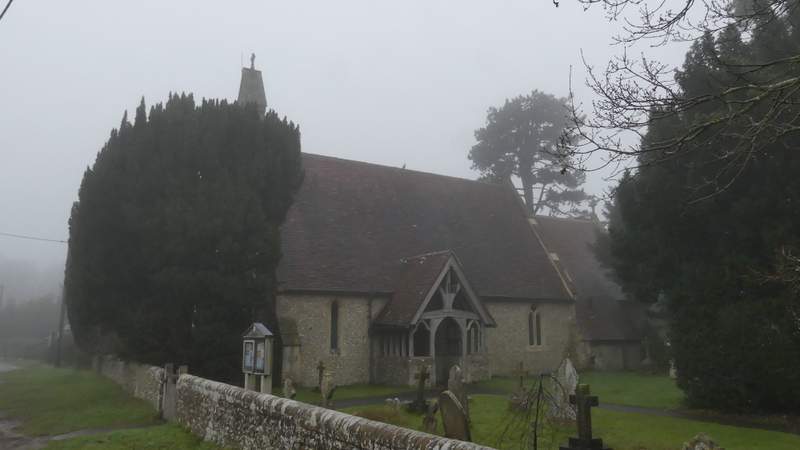
Cadmore End church
The lane through Cadmore End - you can see how misty it was now, but fortunately the weather forecast was correct and the mist had lifted within about 30 minutes of the start of the walk
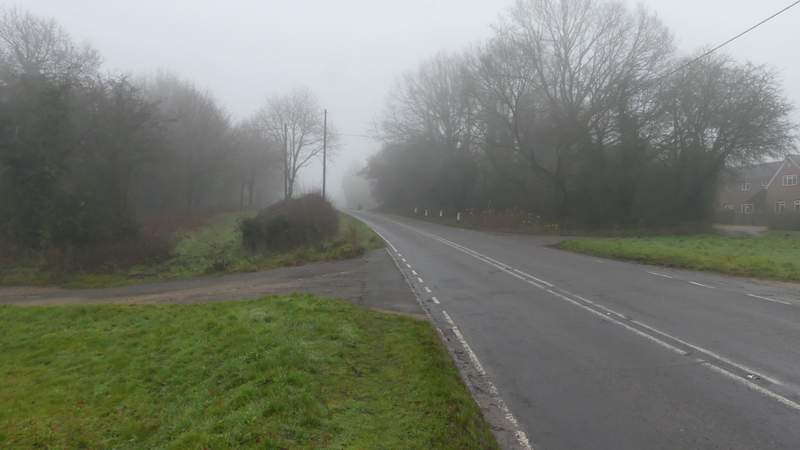
The road through Cadmore End
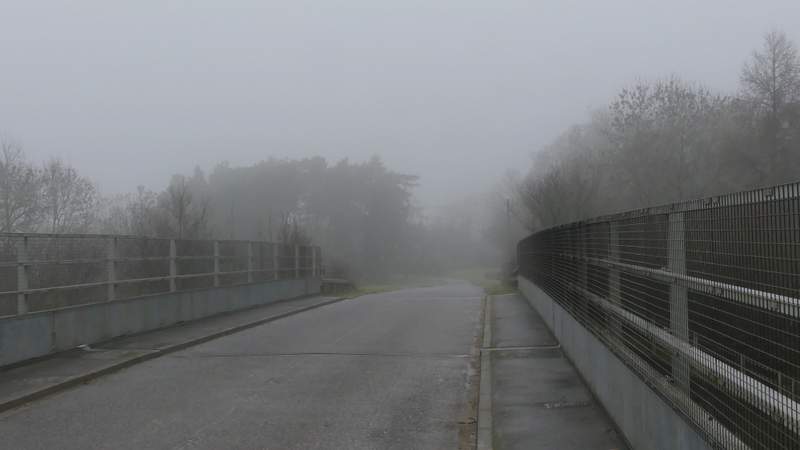
The bridge over the M40
Near the start of the path through Cadmore End Common
The first (smaller) pond - this area has been cleared somewhat since I last came this way, in fact I don't ever remember it being this open
The path through Cadmore End Common, passing the White Cottage (I kept left at a fork just before here)
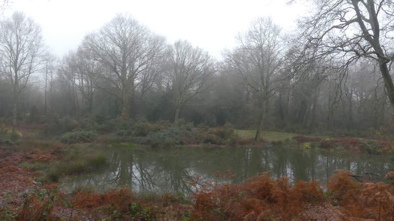
The second (larger) pond
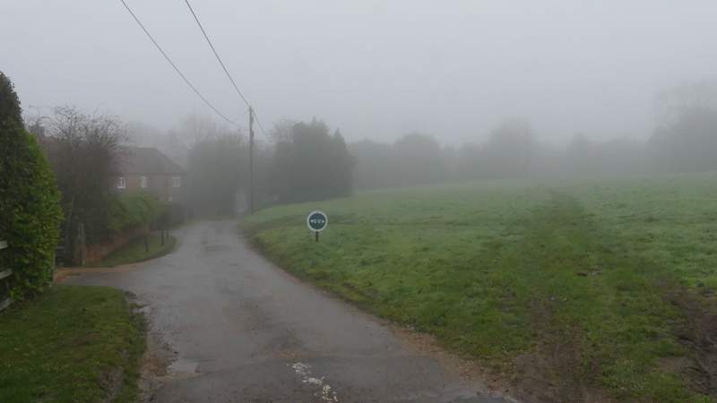
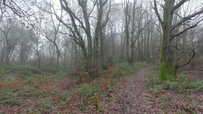
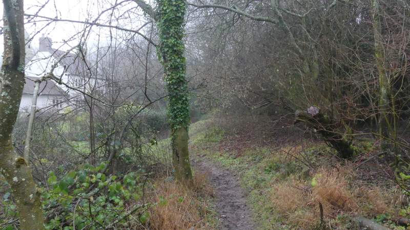
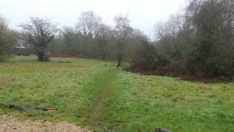
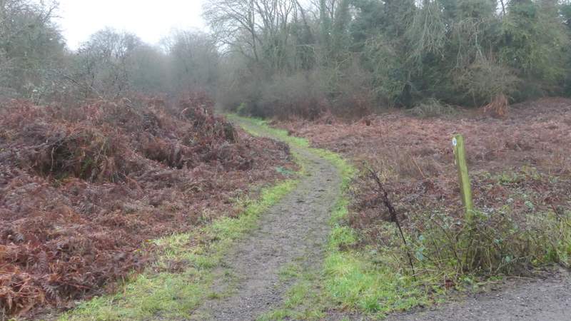
The path then crossed a drive at a more open area of the common, close to cottages on my right. It soon crossed another drive, and then ran for some distance through a wooded part of the common (I kept right at any forks in the path). On reaching a road, I crossed over and went down a track on the other side. I ignored a waymark indicating a path going left (though I could just as easily have gone that way) and instead went a few yards further then turned left, with a grassy area of common at Wheeler End on my right. I followed the edge of bushes on my left, the path entering the bushes after a while and then soon bringing me to another road.
The path through Cadmore End Common - this is the open area with cottages on the right
The path through Cadmore End Common, from where it crosses a track
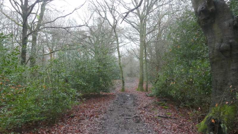
The path through Cadmore End Common
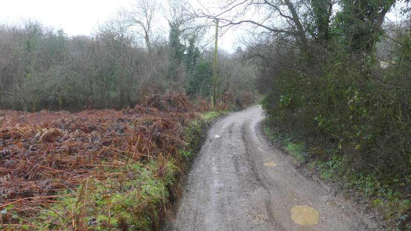
The track after I crossed the road
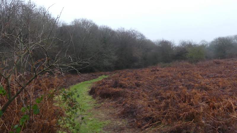
The path after I turned left, along the edge of a common
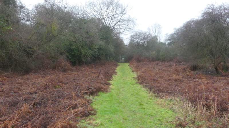
The path after I turned left, along the edge of a common, now approaching the road