Pete's Walks - Southeast from Cadmore End (page 6 of 6)
If you are considering walking this route yourself, please see my disclaimer. You may also like to see these notes about the maps and GPX files.
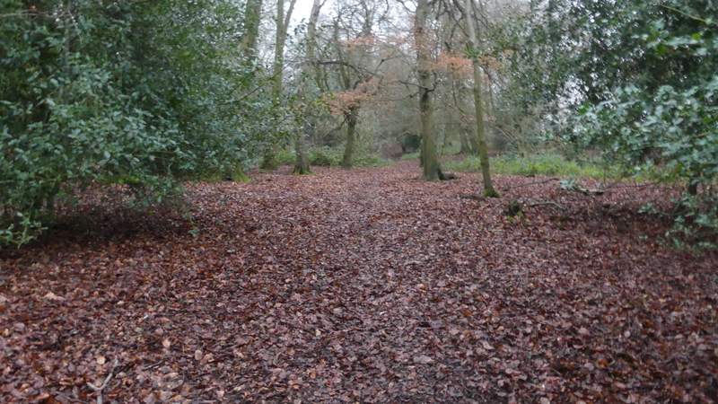
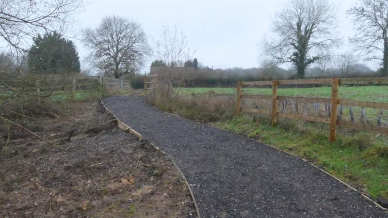
At the end of the footpath I continued down a short street in Frieth to a T-junction, where I went a short way left and then turned right down Innings Road. I soon spotted a herd of a deer in a field on my right. After about a quarter of a mile, now in Little Frieth, the road turned right and a track went straight on, but I took a path going half-right. This ran between fences for two or three hundred yards to reach Moussells Wood. A little way into the wood I went straight on at a path crossing, the path now descending steadily through the wood. At the bottom of the slope I reached a minor road, where I went left and soon reached a junction where a lane went off to the right. Here I took a permissive path running along the far side of the lane, initially between a hedge on my left and some bushes (between me and the lane). The permissive path ended where the lane turned right, but here I took a footpath on the left.
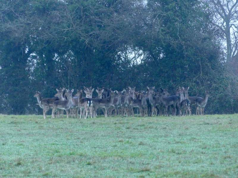
Fallow Deer, in a field at Frieth
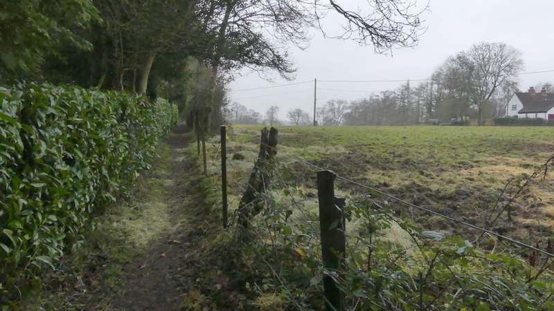
The path from Frieth to Moussells Wood
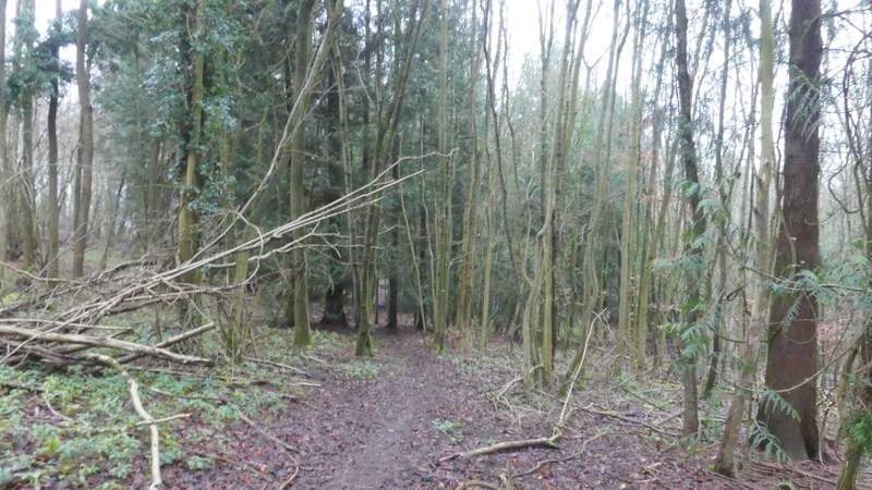
The path descending through Moussells Wood
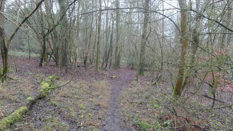
The path descending through Moussells Wood
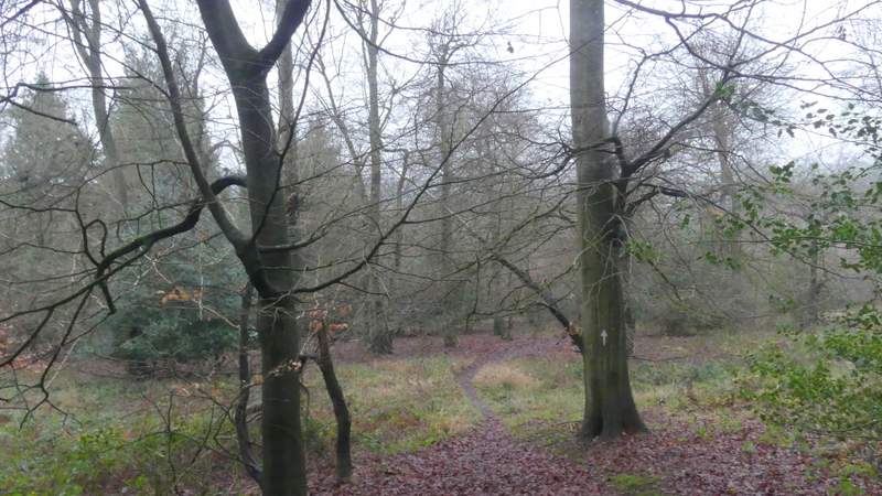
The path descending through Moussells Wood
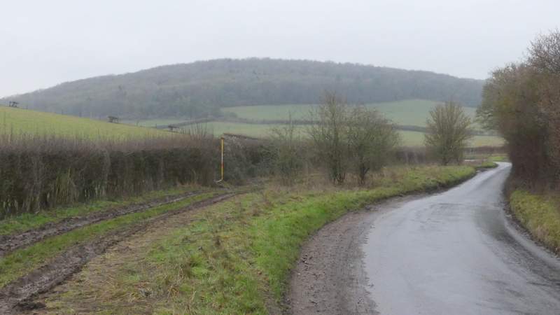
The minor road after I turned left
The start of the permissive path next to the lane
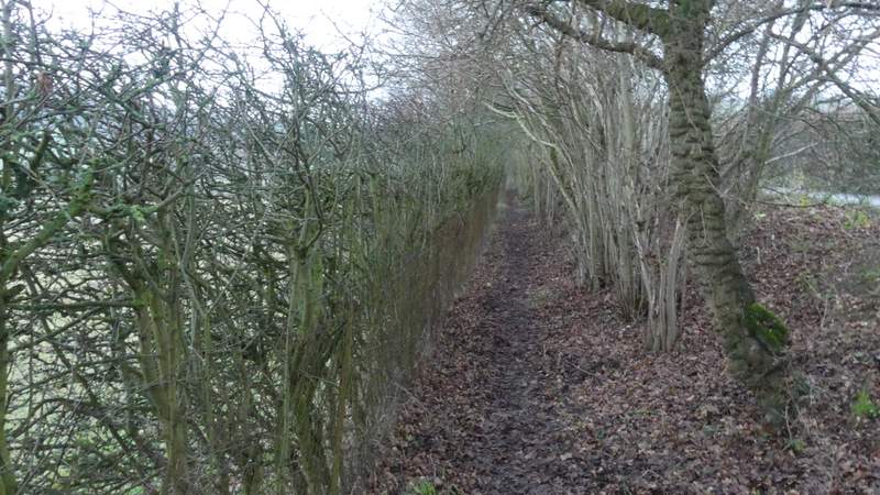
The permissive path next to the lane
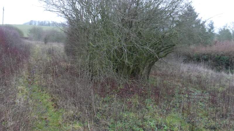
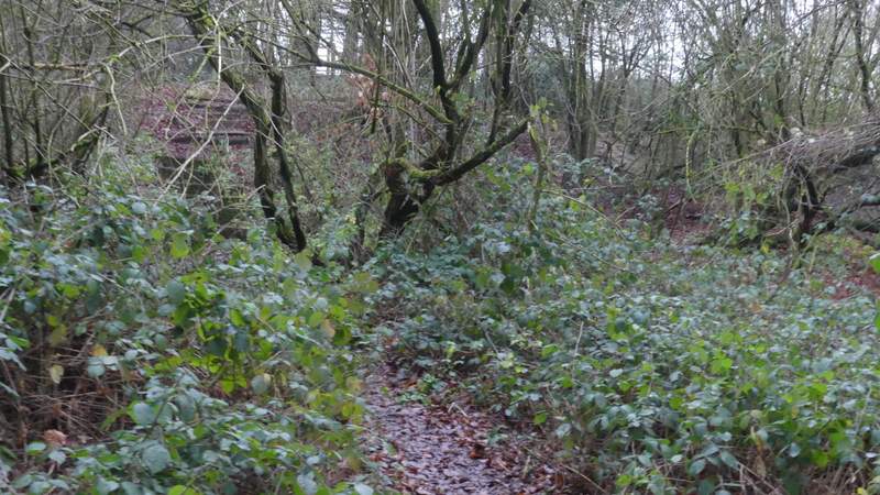
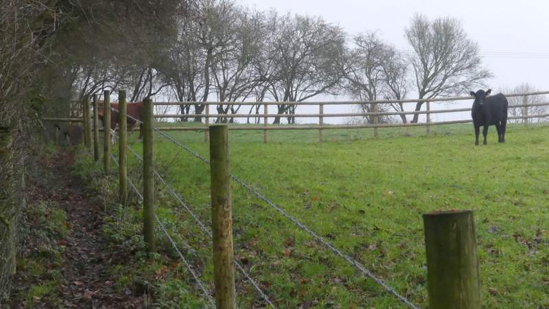
The path followed a hedge on the left a short distance, then when the hedge turned left I wanted to take a path going right but there was no actual sign of this path (it's usually quite clear). However I could see the path clearly as it approached a hedge on the far side of the field, about a quarter of a mile away, so initially I followed some tractor tracks that were aiming some way right of where I wanted to go, and after maybe a couple of hundred yards I found the path I wanted forking slightly left from the tractor tracks. On reaching the far hedgerow, the path continued across a corner of a large pasture (sloping uphill) to reach a wood, then continued uphill through the wood. Towards the top of the slope, the path left the wood and re-entered the same cattle pasture, though there was now a fence between the path and the few bullocks that were here. The path continued on, passing to the left of Rackley's Farm and ending where the farm drive met the road through Cadmore End. I now just had to turn left and re-trace my steps from this morning, along the road and then forking left along what becomes Church Road to return to my parked car.
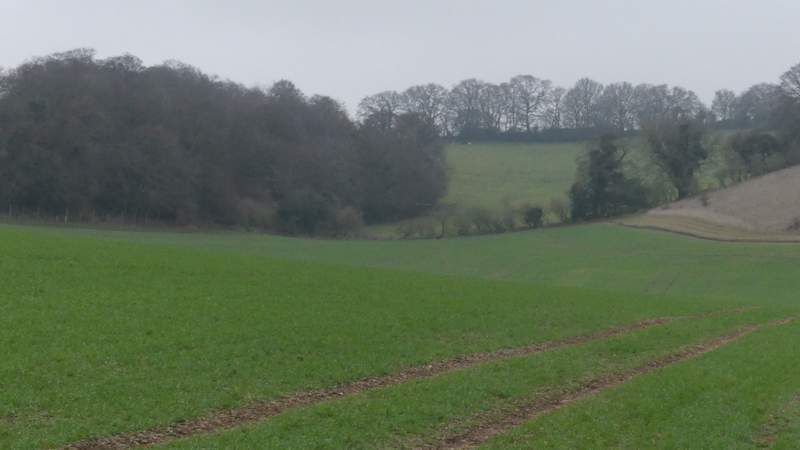
The path back up to Cadmore End (I followed tractor tracks then found the path, heading just right of the lowest point of the hedgerow)
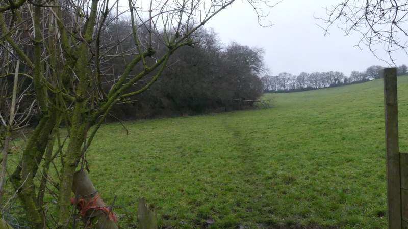
The path up to Cadmore End crossing a corner of a cow pasture to reach a wood
The path continuing up through the wood
The path continuing up through the wood
The path continuing towards Rackley's Farm
The path continuing past Rackley's Farm
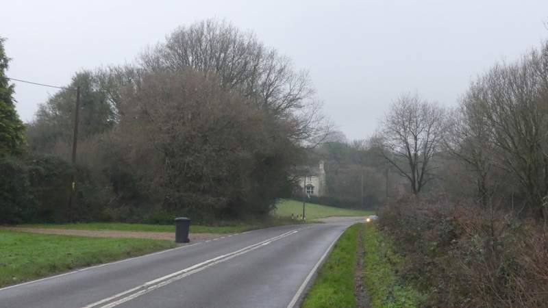
The road through Cadmore End
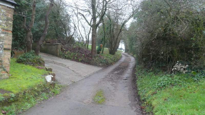
The start of the lane through Cadmore End
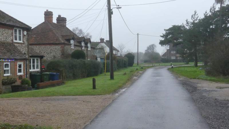
The lane through Cadmore End
After the early morning mist had cleared, this was a typically dank December day, but I actually quite liked these conditions and thoroughly enjoyed the walk. The paths were generally a bit muddy but not too bad (no doubt I'll be sick of muddy conditions in a couple of months time!), apart from the early mist it stayed dry, and I never felt at all cold (I think it was 7-8C, but I was warmly wrapped up). The walk was the usual Chiltern mixture of woodland and field paths, with a few ups and downs, with the 'biggest' uphill coming right at the end as I arrived back at Cadmore End. There was an unusually long lane section, but that seemed to pass very quickly and I saw very few cars along it. It was nice to see Fallow Deer and a Muntjac, plus the usual Red Kites and Buzzard, and wonderful to see some Ring-necked Parakeets again.