Pete's Walks - Christmas Common, Russell's Water, Nuffield (page 4 of 6)
If you are considering walking this route yourself, please see my disclaimer. You may also like to see these notes about the maps and GPX files.
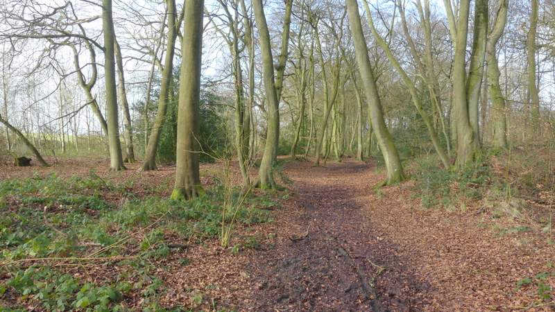
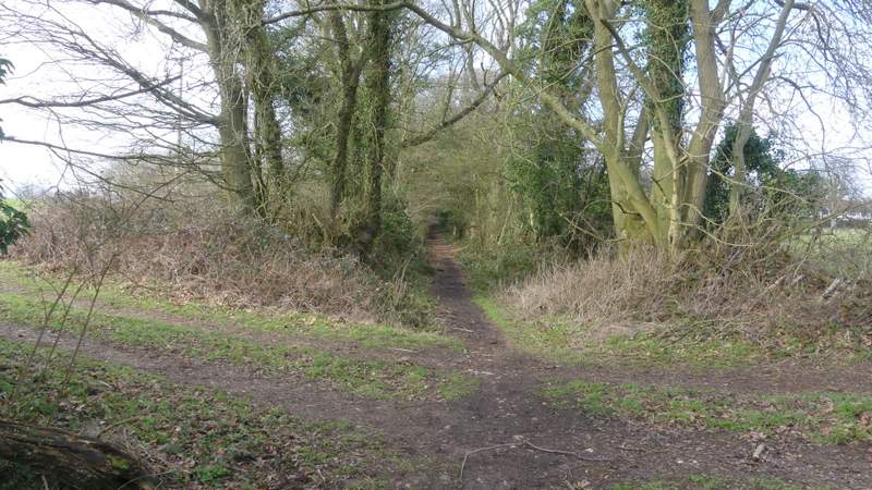
I then went straight on in the same direction at a junction where three footpaths and a bridleway branch off, the bridleway now running through a narrow belt of trees with arable fields just a few yards to my left. It then continued through a beech wood named Heycroft Shaw for several hundred yards, beyond which it ran with tall trees either side again. After passing a couple of cottages on the edge of Nuffield the bridleway turned right, but here I took a short path going straight on. I soon reached a minor road in Nuffield, where I went a few yards left to a junction where I stopped on a bench to eat my lunch (it was now about 12.50pm).
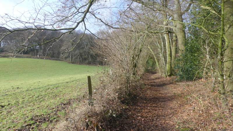
The bridleway from Howberrywood to Nuffield, after the multi-way junction
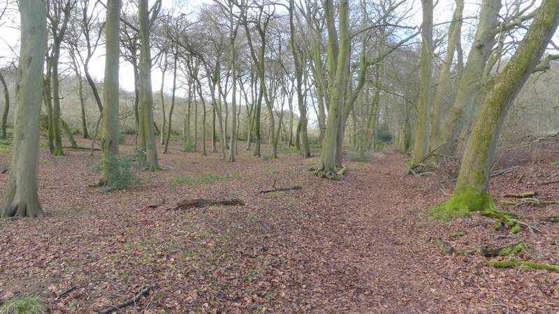
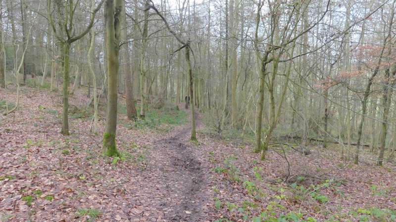
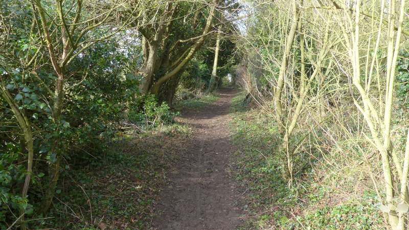
The bridleway continuing through Heycroft Shaw
The bridleway continuing through Heycroft Shaw
The bridleway continuing through Heycroft Shaw
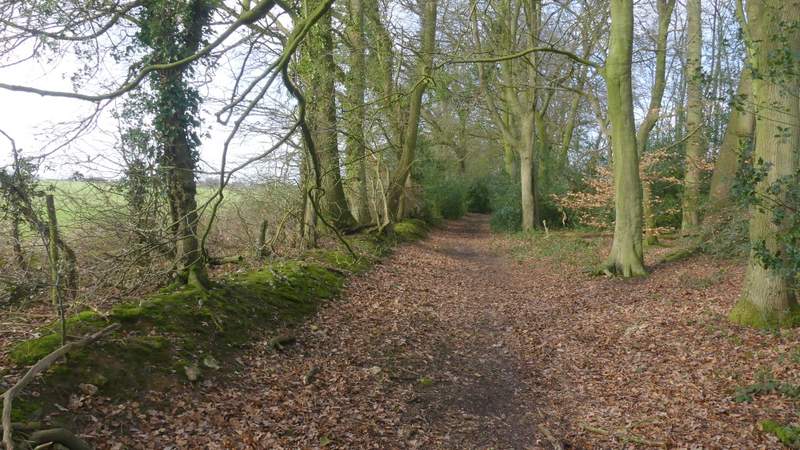
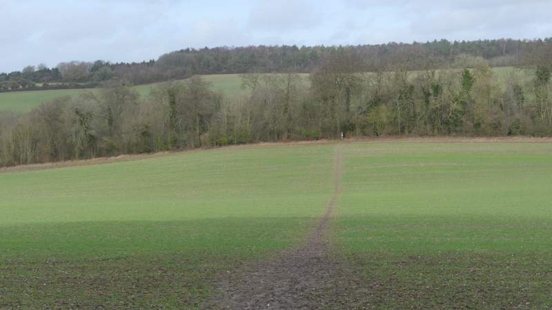
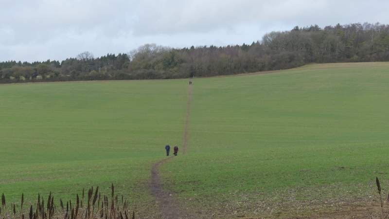
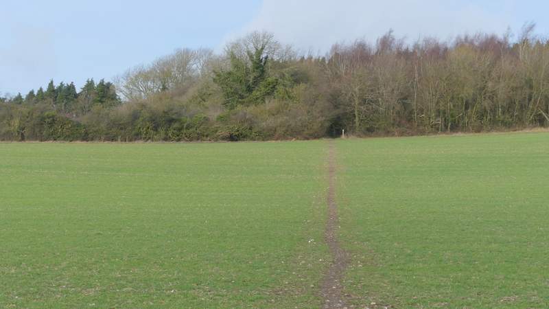
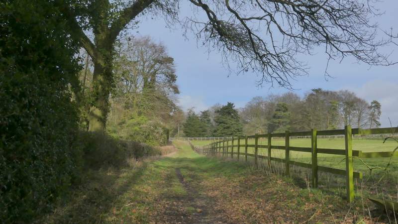
Approaching Nuffield
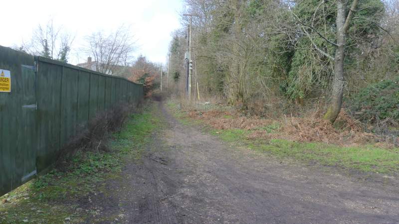
Approaching Nuffield
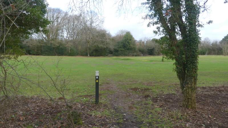
I turned right at the junction, following the village lane as far as the ancient parish church. Opposite the church I took a path, part of the Ridgeway, which crossed an area of rough grass (with a nice view left out over the Oxfordshire Plain), and then followed a series of white-topped posts that marked the way across Huntercombe golf course (where Ian Fleming was once a member). On leaving the golf course the Ridgeway went down a gravel drive (there were two new houses here, that have replaced some cottages that I think were still here the last time I came this way) to reach the A4130.
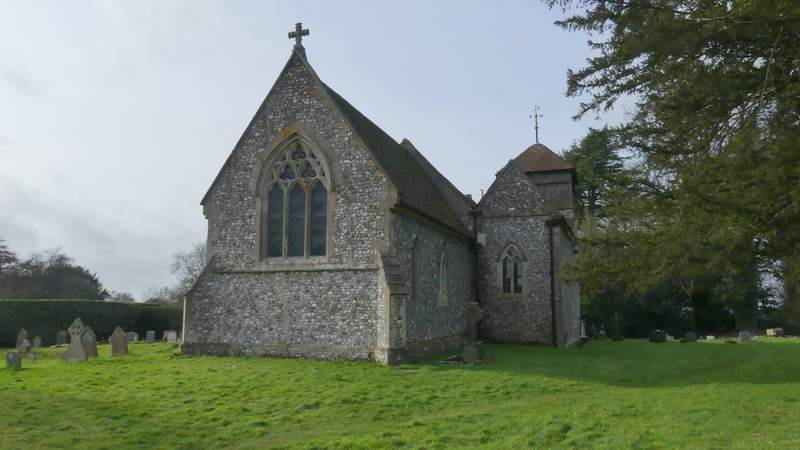
Nuffield church
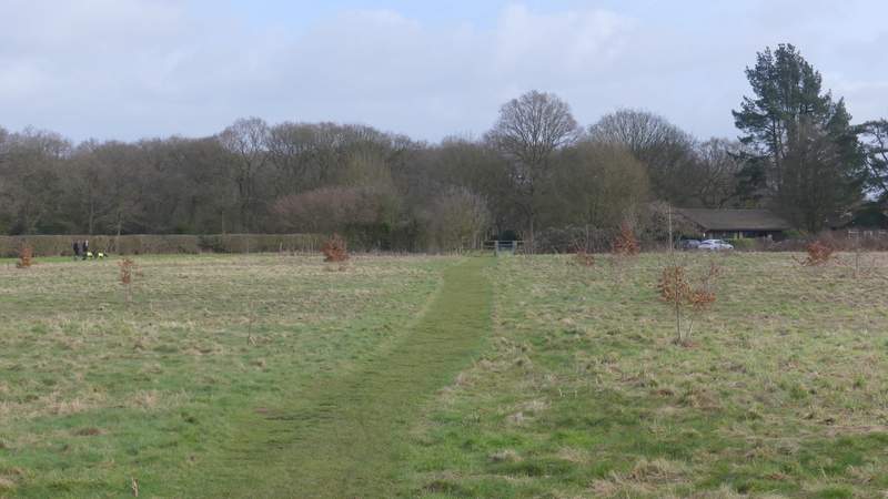
The Ridgeway crossing Huntercombe golf course
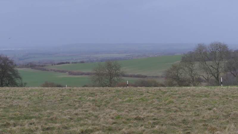
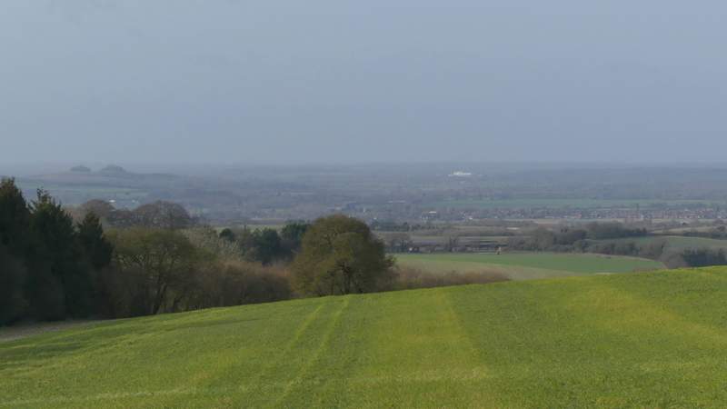
View left from the Ridgeway crossing Huntercombe golf course, out to the Oxfordshire Plain<
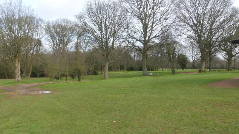
The Ridgeway crossing Huntercombe golf course
The Ridgeway crossing Huntercombe golf course
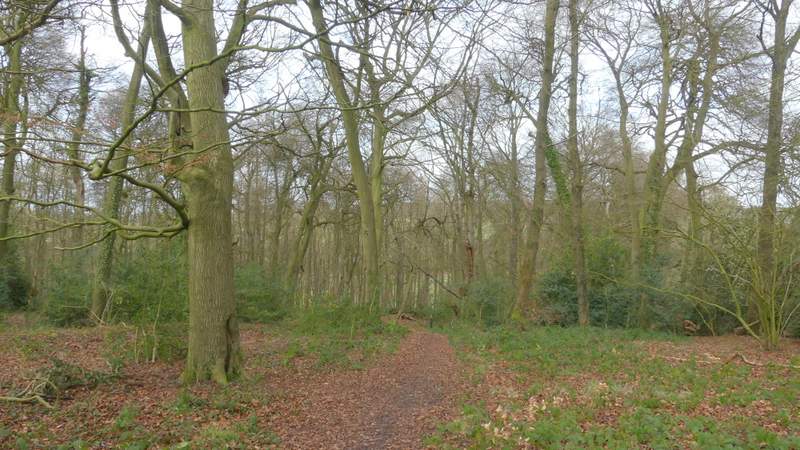
After crossing the main road, a footpath continued gently downhill through a wood. I then crossed a large arable field to reach a tree belt, where the Ridgeway crossed another part of the Chiltern Way. I went straight on, the path now rising very gently uphill as it crossed an enormous arable field. The path continued through the narrow end of a wood, then ran along a track with paddocks on the right and a view out to the Oxfordshire Plain on my left. This brought me to the large house named Ewelme Park.
The Ridgeway after crossing the A4130
The Ridgeway after crossing the A4130
The Ridgeway after crossing the A4130 (the Chiltern Way runs through the tree belt)
The Ridgeway continuing towards Ewelme Park
The Ridgeway continuing towards Ewelme Park
The Ridgeway continuing towards Ewelme Park
The Ridgeway approaching Ewelme Park
View left over the Oxfordshire Plain from just before Ewelme Park. Wittenham Clumps are on the left and I think the white building is Culham Laboratory (now the Culham Centre for Fusion Energy)