Pete's Walks - Stoke Row, Nettlebed, Woodhouse Farm (page 4 of 7)
If you are considering walking this route yourself, please see my disclaimer. You may also like to see these notes about the maps and GPX files.
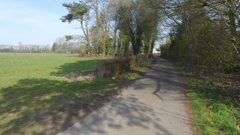
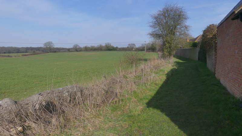
After about half a mile the bridleway ended at a road (yes, the B481 yet again!). Across the road I continued down another bridleway that started down a farm drive then continued through a tree belt - this bridleway is named Deadman's Lane on the OS Map, I walked another section of it on last week's walk. I soon came to a point where a footpath crossed the bridleway, where I went right. Leaving the tree belt, I crossed a farm track and was about to continue alongside a tree belt to the right of a very large field, when I made out the faint path forking left, gradually moving away from the tree belt as it crossed the field. I've just measured it on the OS map, and it was almost half a mile across the field, where I passed a small group of trees just before I reached the opposite corner. Here I turned right at a path junction (the path I'd just come along was the one that inspired me to plan this route, after passing it on last week's walk). I now followed a surfaced drive towards Nettlebed, the path then going through a gate on the right and switching to the other side of a wall as it passed Nettlebed church. On reaching the main road through Nettlebed (the A4130), I crossed over and took a footpath on the other side, which ran alongside garden fences on my right with a field to my left, then continued through some allotments.
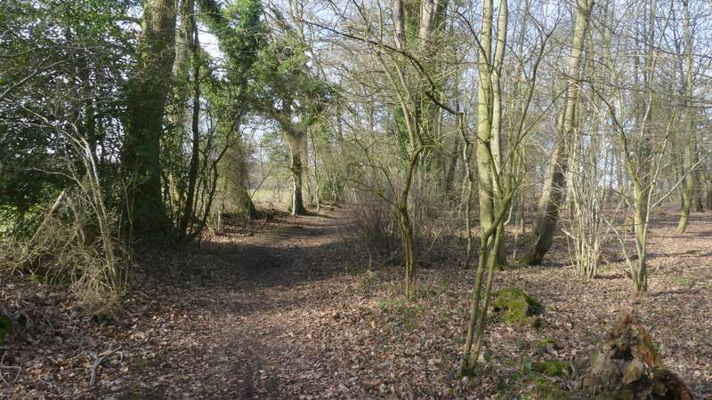
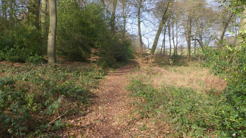
Deadman's Lane
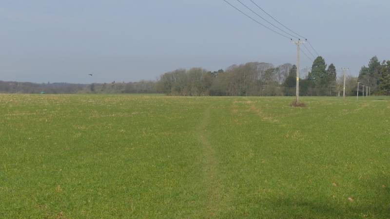
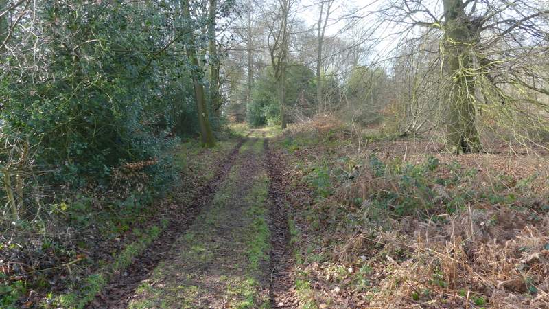
The path going northwest from Deadman's Lane
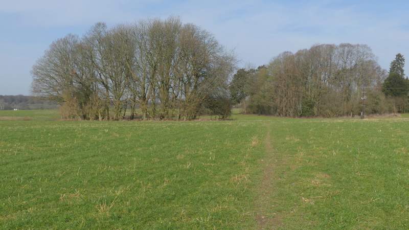
The path going northwest from Deadman's Lane
The path into Nettlebed
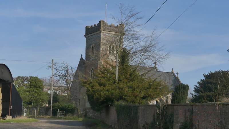
Nettlebed church
The path after I crossed the road in Nettlebed
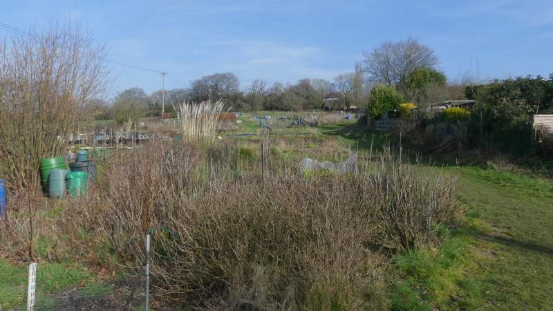
The path continuing through the allotments
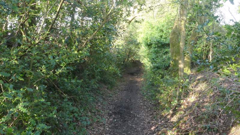
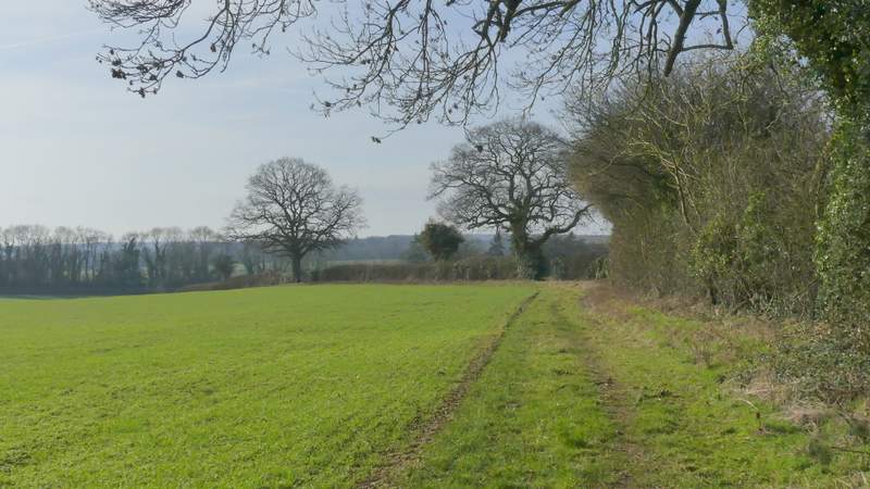
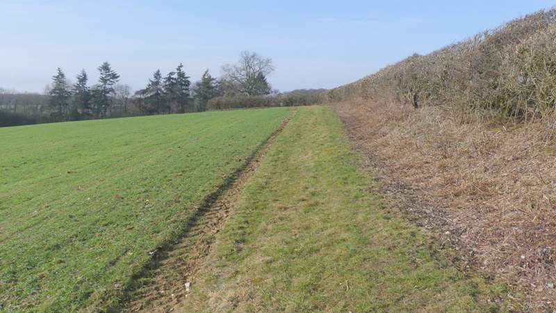
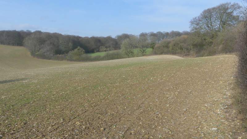
When the path ended at a road, I took a bridleway starting immediately on my left, forking left from the road. I soon passed an impressive old pollarded Beech tree here. The bridleway soon curved left with houses to the right, then I took a path on the left that went through a hedge gap and turned right, following a long hedgerow on my right. After a while this turned right, left and right again. On reaching a field corner (where another path went left, to reach the A4130), I should have gone across part of a field to the near end of a wood, but there was no sign of the path so I just turned right and followed the curving edge of the field instead. The entrance where the path went into Groveridge Wood was clear enough, and I followed the path through the wood until I reached a path crossroads where I turned left - this was further into the wood than my OS map showed, in fact the path I followed (indicated by white arrows on trees) seemed to be the one shown as a dotted black line on the map, rather than the green dotted line of the public footpath. Having turned left at the crossroads, I followed a track through the wood, which fairly soon turned slightly right. A white arrow on a tree showed where the public footpath went left from the track, soon reaching the edge of the wood. There was no sign of the path crossing the field next to the wood, but I correctly guessed it went to a gate I could just make out on the far side (I found there was a finger-post there when I got there).
The bridleway going northwest from Nettlebed
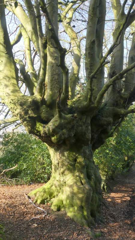
Old pollarded beech tree on the edge of Nettlebed
The path after I turned left from the bridleway
The path after I turned left from the bridleway (after the first time it turned right)
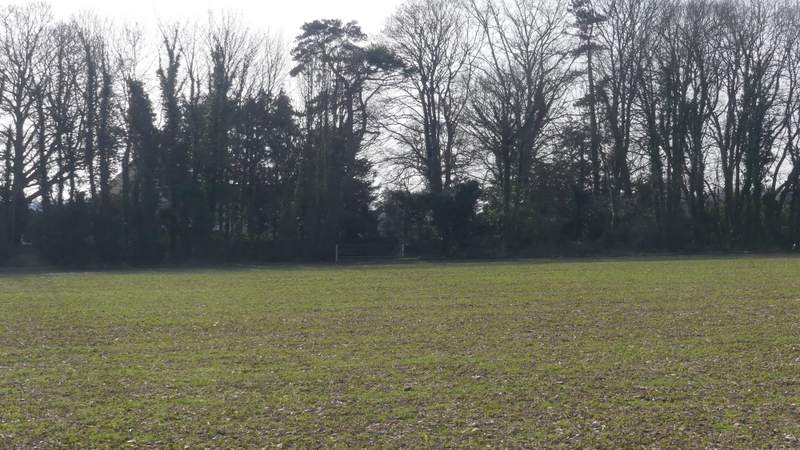
Here I should have walked across the field to where the wood starts, but as there was no sign of a path I just followed the field edge
The path through Groveridge Wood
The path through Groveridge Wood after I turned left - the footpath seems to now follow what the OS map shows as a dotted black line
Crossing the field after the path left Groveridge Wood