Pete's Walks - Stoke Row, Nettlebed, Woodhouse Farm (page 6 of 7)
If you are considering walking this route yourself, please see my disclaimer. You may also like to see these notes about the maps and GPX files.
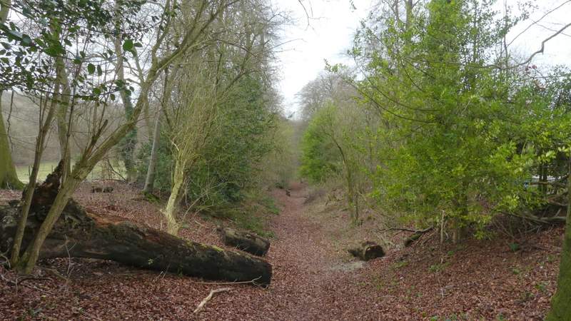
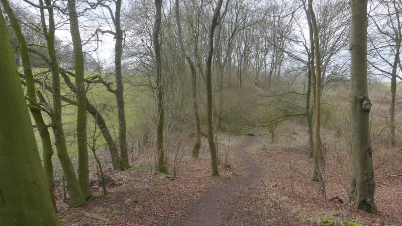
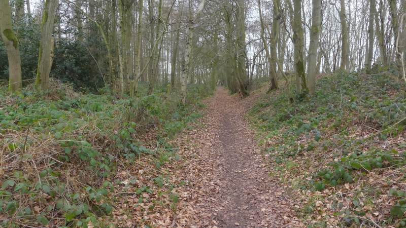
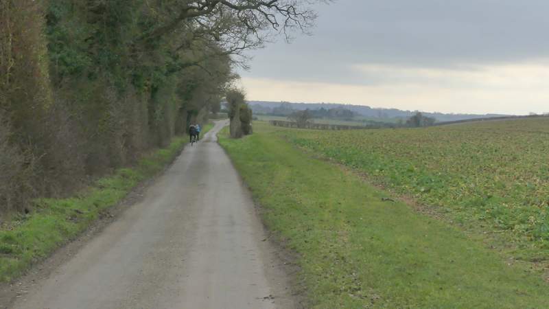
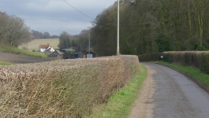
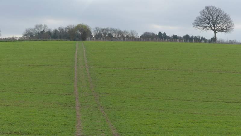
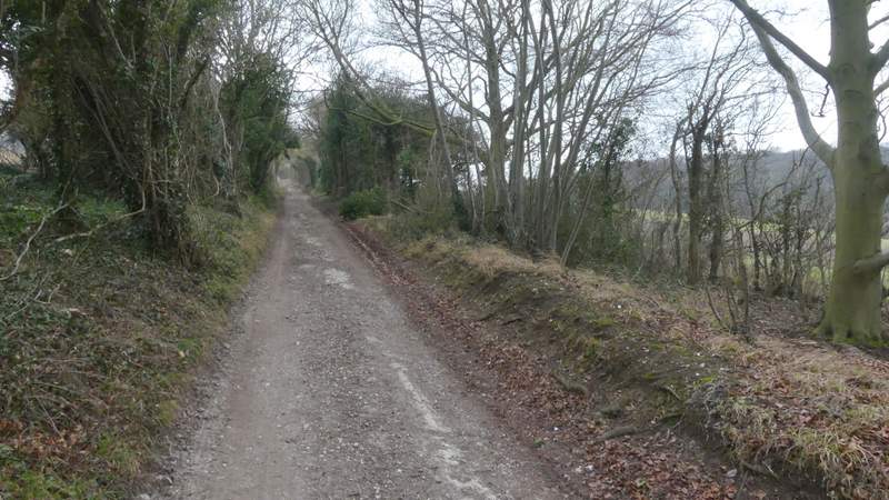
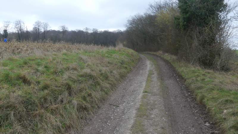
For over a mile, the Ridgeway and Grim's Ditch ran through a tree belt, very gradually descending from the Chilterns down towards the Oxfordshire Plain, running in a dead straight line that was heading slightly north of west. At first the path ran to the left of the ditch, then switched to the other side for a while. Somewhere along here I passed a lady walker with a dog, and foolishly said "Lovely day for a walk, so far" - of course, that was tempting fate, and almost immediately the blue skies I'd enjoyed all morning disappeared and were replaced by grey clouds, so much so that I was worried I was going to get a soaking for the second week in a row. At a short gap where a track crossed the line of the ditch to reach a property on the left, the path started to run along the bottom of the ditch for a hundred yards or so. After going through a kissing-gate, it returned to running to the left of the ditch. On eventually leaving the tree belt, the Ridgeway continued for three or four hundred yards between hedges (where there was no real sign of Grim's Ditch), and then ran through Oaken Copse. Beyond this wood it followed a line of pine trees for about a quarter of a mile to reach a lane (this is marked Icknield Way on the OS map, but that is in Gothic script, suggesting the lane may lie along the course of that historic route).
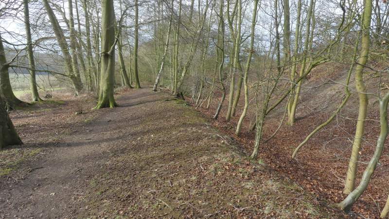
The Ridgeway descending alongside Grim's Ditch
The Ridgeway descending alongside Grim's Ditch
The Ridgeway descending alongside Grim's Ditch
The Ridgeway descending alongside Grim's Ditch
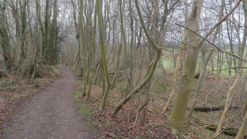
The Ridgeway descending alongside Grim's Ditch
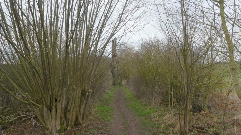
The Ridgeway descending alongside Grim's Ditch, approaching Oaken Copse
Oaken Copse
The Ridgeway continuing from Oaken Copse to the lane
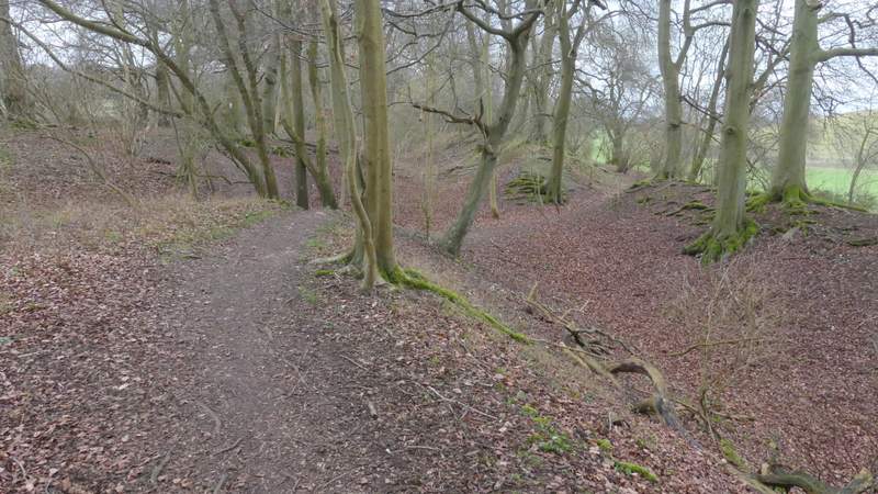
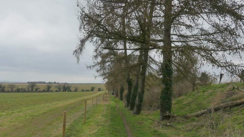
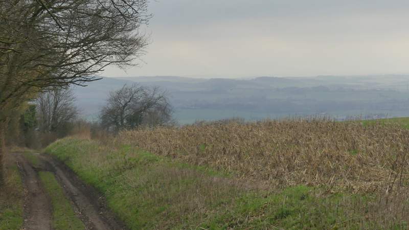
I turned left along the lane, soon making use of a permissive path running to the right of it (not that there was much traffic on the lane). After about a quarter of a mile I turned left along the drive to Woodhouse Farm (shown as a byway on the OS map). On reaching the farm I turned right onto a footpath that took me through Wicks Wood. Beyond this the path rose very slightly uphill as it crossed a green field, and then it continued southwards along a farm track heading to Poors Farm (the view towards the Berkshire Downs from this track was nowhere near its best, in the now very grey conditions). The track now named Poors Lane, continued from Poors Farm for maybe a third of a mile to reach Hailey.
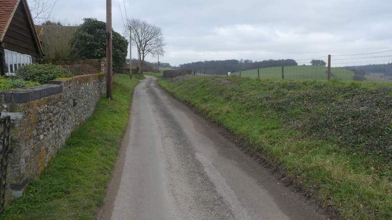
The lane, labelled 'Icknield Way' on OS map (there is a permissive path to it's right here)
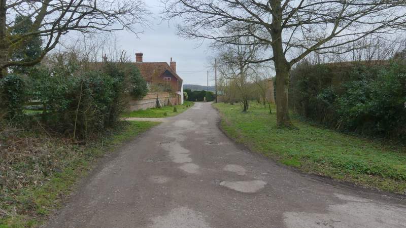
The drive to Woodhouse Farm (the white building on the left)
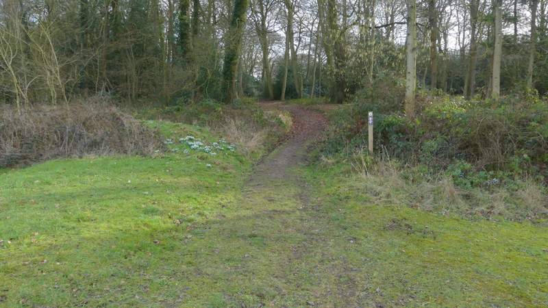
The start of the path from Woodhouse Farm to Hailey
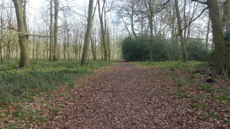
The path from Woodhouse Farm to Hailey, in Wicks Wood
The path continuing from Wicks Wood
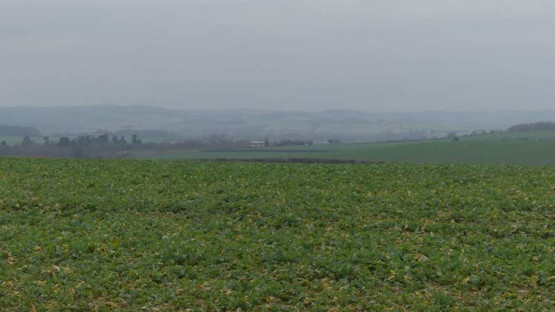
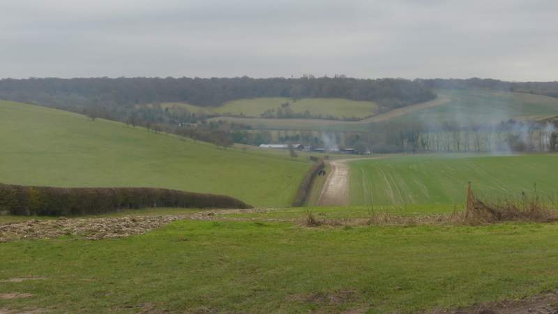
View towards the Berkshire Downs
The path continuing towards Poors Farm
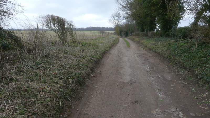
The path continuing from Poors Farm to Hailey
The path reaching Hailey along Poors Lane
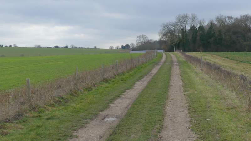
I turned left and followed the single lane through the hamlet, soon passing the King William IV pub on my left (a sign said "Walkers Welcome"). Not much further on the lane deteriorated to a byway. I passed a junction where a bridleway went right to Ipsden (there was a nice view in that direction), then there was a long straight section where the byway rose uphill - this wasn't too steep at all and I was surprised how easily I regained most of the height I'd lost on the long descent beside Grim's Ditch. I remembered there was a nice view looking back here, but again it was very grey and murky today.
The lane through Hailey, after I turned left
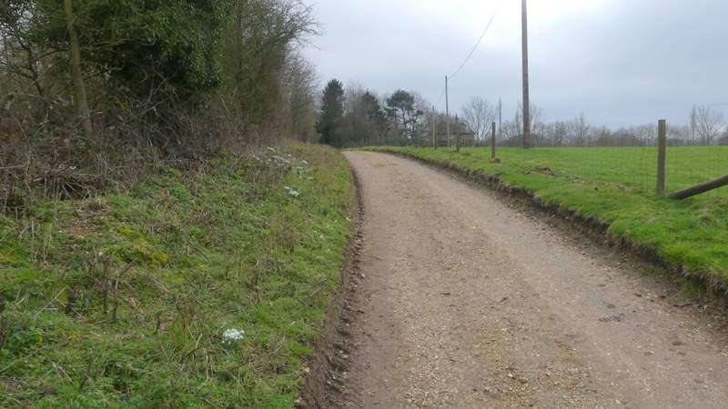
Near the start of the byway going east from Hailey
View right towards Well Place
The byway going east from Hailey
The byway going east from Hailey
View back from the byway going east from Hailey