Pete's Walks - Cowleaze Wood, Chinnor, Ibstone (page 6 of 7)
If you are considering walking this route yourself, please see my disclaimer. You may also like to see these notes about the maps and GPX files.
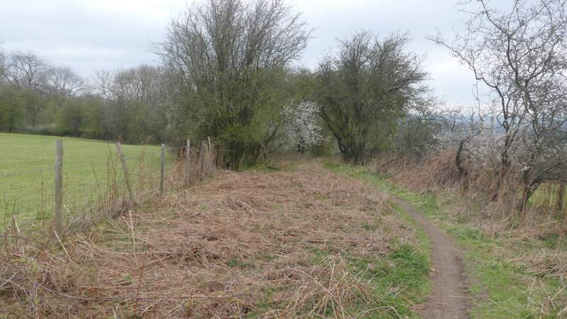
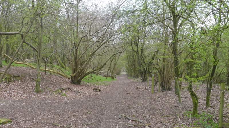
When I reached the top of the slope, I soon came to a T-junction (still in Shotridge Wood), where I turned right. I quickly came to another path junction where I turned left. After a few hundred yards this came to a path junction, where I continued down a straight surfaced drive to reach a road on the edge of Christmas Common. I went right, following the road for one or two hundred yards and then taking a bridleway on the left, that would take me downhill towards Pyrton Hill House.
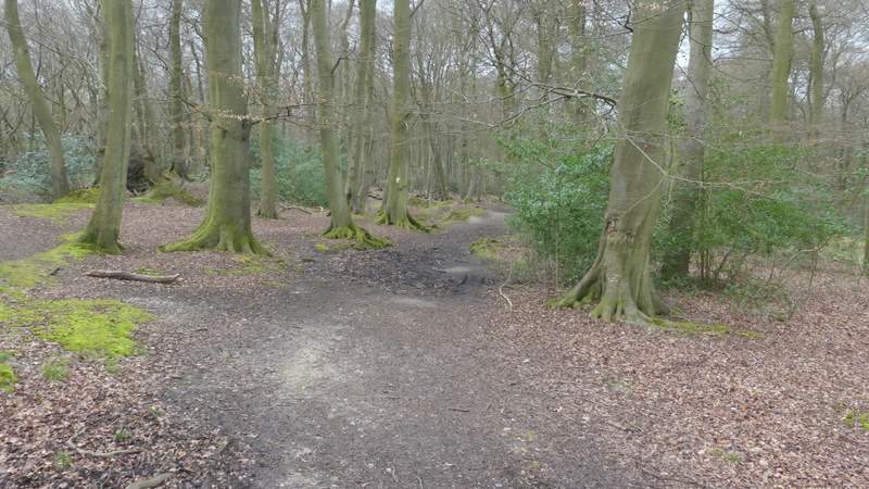
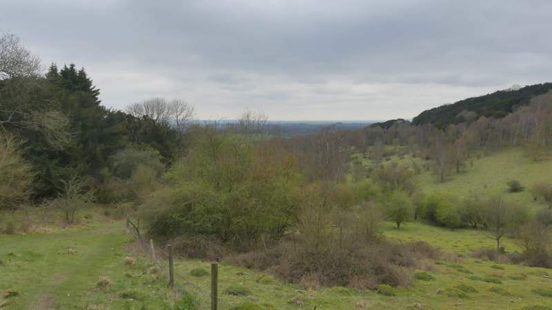
The path in Shillingridge Wood, after I turned right
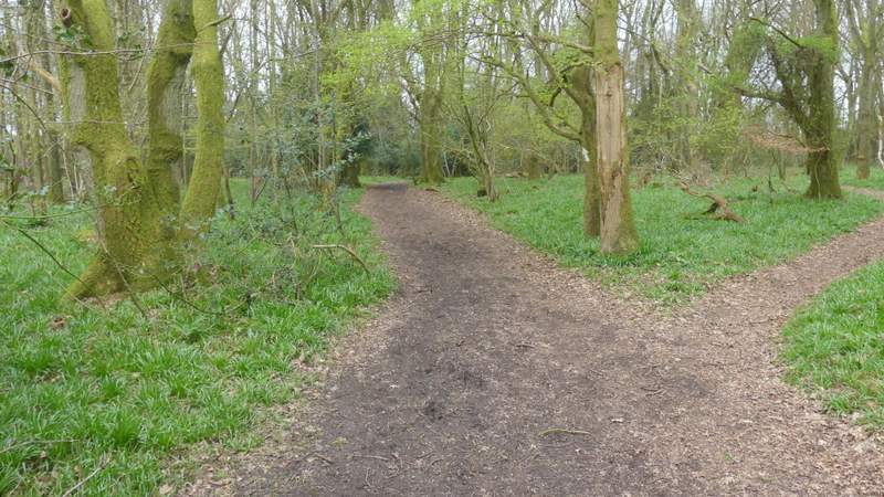
The path in Shillingridge Wood, after I turned left
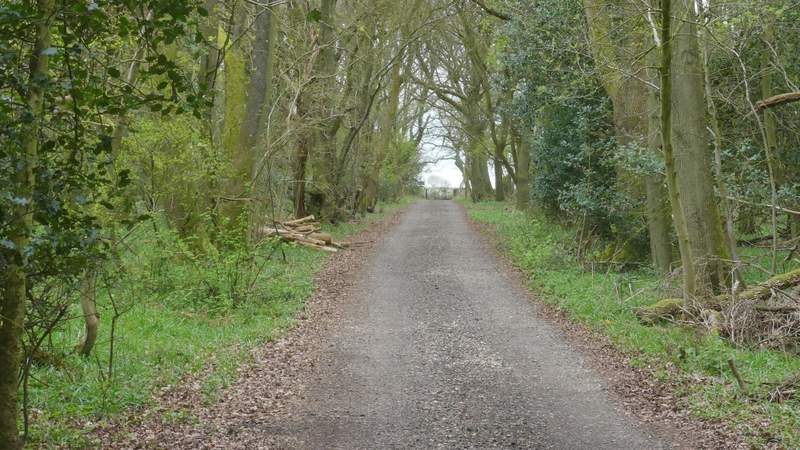
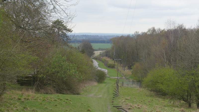
The drive approaching the road at Christmas Common
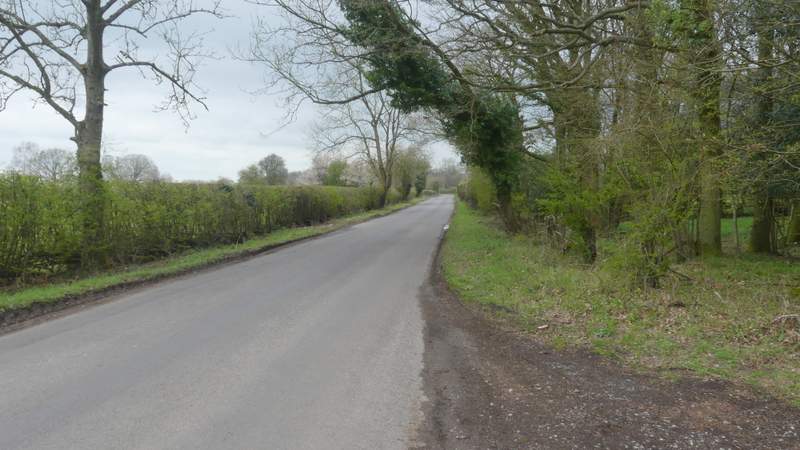
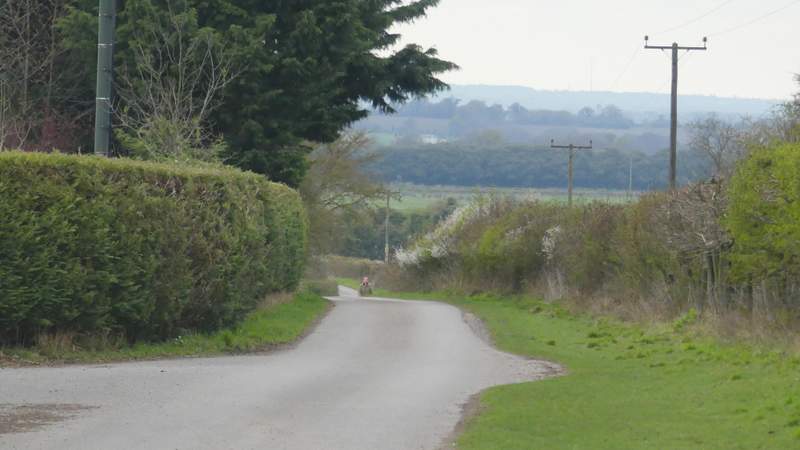
The road near Christmas Common
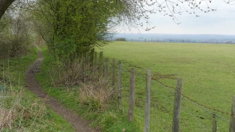
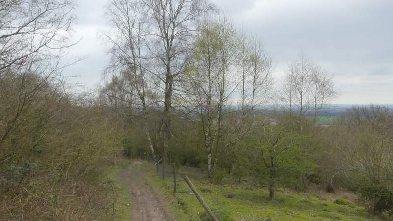
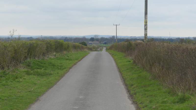
The bridleway ran between hedges for a while, then started to descend quite steeply as it dropped down the Chiltern escarpment. Occasionally I had a view ahead towards the Oxfordshire Plain or to Pyrton Hill on my right, where I spotted a few Fallow Deer (I see them there more often than not, it is the only hill along this part of the Chilterns that has no public access so they probably don't get disturbed very often). At the bottom of the slope, the bridleway continued along the drive from Pyrton Hill House (there is a 'Cat Hotel' and a Saw Mill here as well). I followed it for a little under half a mile, then turned right onto another part of the Ridgeway.
The start of the bridleway descending to Pyrton Hill House
The bridleway descending to Pyrton Hill House
The bridleway descending to Pyrton Hill House
The bridleway descending to Pyrton Hill House
The bridleway descending to Pyrton Hill House
The bridleway descending to Pyrton Hill House
The lane continuing from Pyrton Hill House
The lane continuing from Pyrton Hill House