Pete's Walks - Cowleaze Wood, Crowell, Stokenchurch (page 7 of 7)
If you are considering walking this route yourself, please see my disclaimer. You may also like to see these notes about the maps and GPX files.
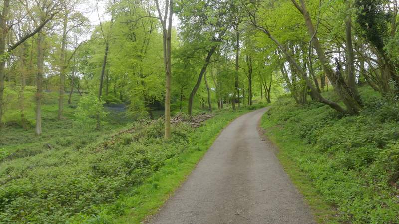
The path dropped down through the wood, then crossed an empty paddock and passed just left of Lower Vicar's Farm to reach another of the drives on the Wormsley Estate. Previously I had always turned left here and then taken a footpath on the right that leads steeply uphill to Cowleaze Wood, but I again tried something new by turning right onto a bridleway that runs along the drive. After passing the farm on my right, it turned left, and ran for several hundred yards alnong a small valley, before gradually rising uphill, going through a wood and passing Upper Vicar's Farm (just a farmhouse) to reach a minor road.
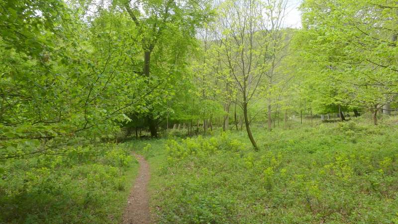
The path after I turned left in Langleygreen Plantation
The path after I turned left in Langleygreen Plantation
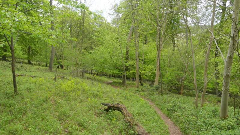
The path continuing past Lower Vicar's Farm
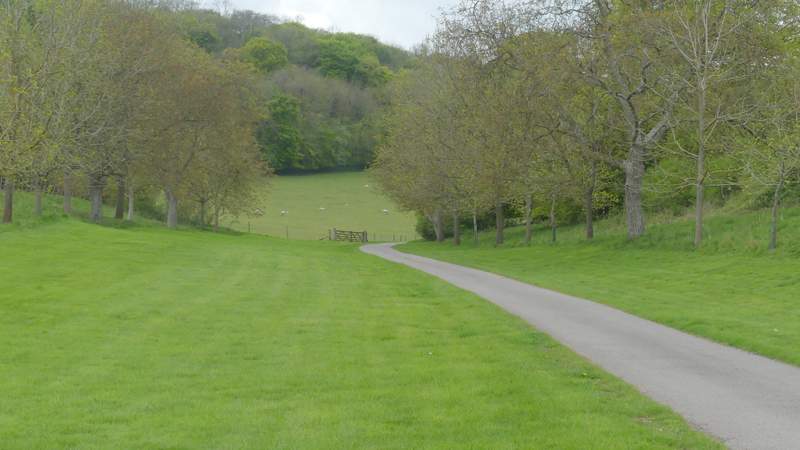
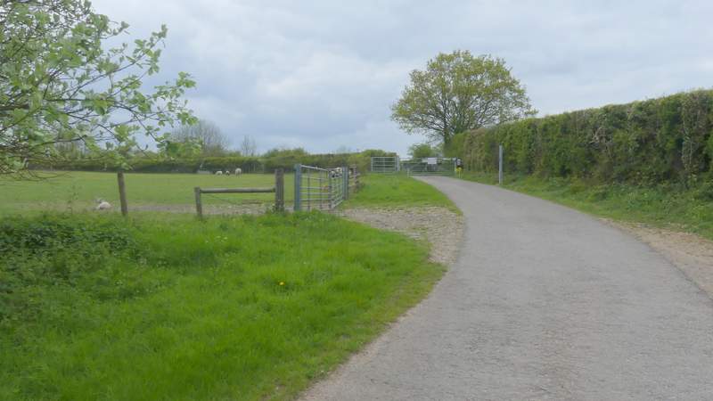
The Wormsley Estate drive after I turned right
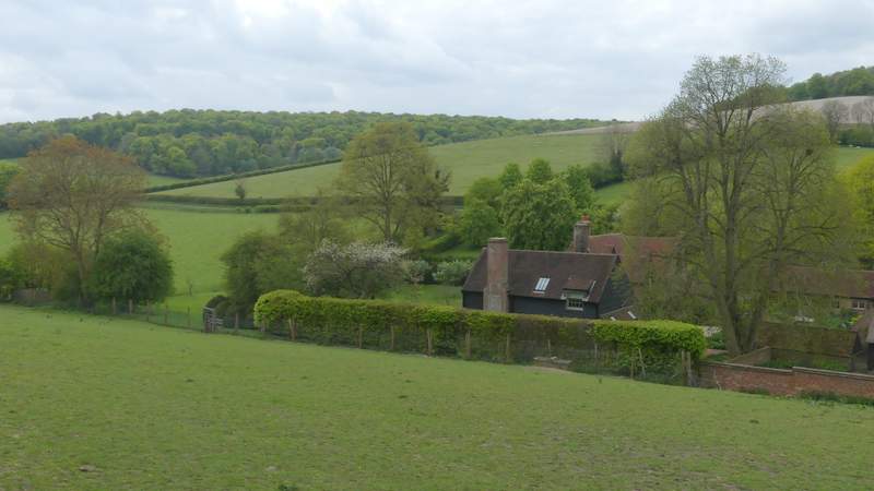
The drive from Lower Vicar's Farm to Upper Vicar's Farm
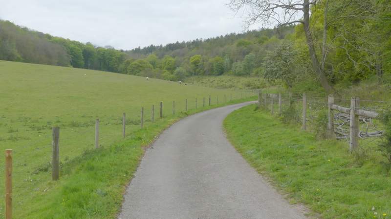
The drive from Lower Vicar's Farm to Upper Vicar's Farm
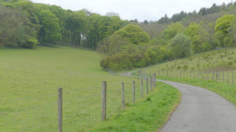
The drive from Lower Vicar's Farm to Upper Vicar's Farm
The drive from Lower Vicar's Farm to Upper Vicar's Farm
The drive from Lower Vicar's Farm to Upper Vicar's Farm
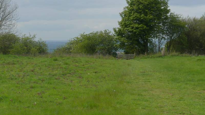
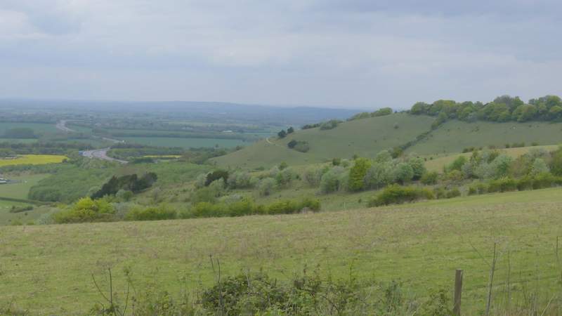
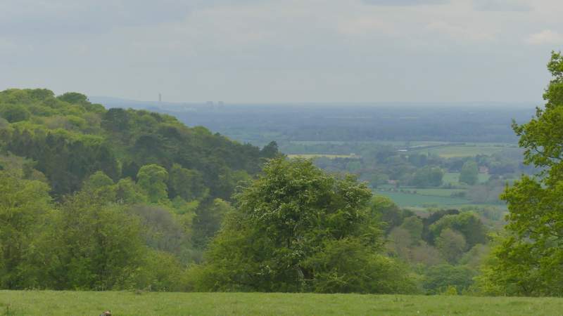
When I planned the walk, I'd intended to just turn left and follow the road back to the Cowleaze Wood car park. But that was a poor idea as I'd have missed out on some fine views out over the Oxfordshire Plain. So I crossed the road and took a path that went a short way across a meadow or pasture. Over a stile, I then turned left along a path that runs along the edge of part of the Aston Rowant nature reserve (the path that descends Linky Down starts a few yards to the right from where I crossed the stile). I followed the path a short distance, admiring the far-reaching views to my right when there were occasional gaps in the hedge on that side. I soon came to the start of Hill Road again, where I went straight on, retracing my steps from the start of the walk, through a narrow pasture and then crossing the road back to the car park where I'd started from.
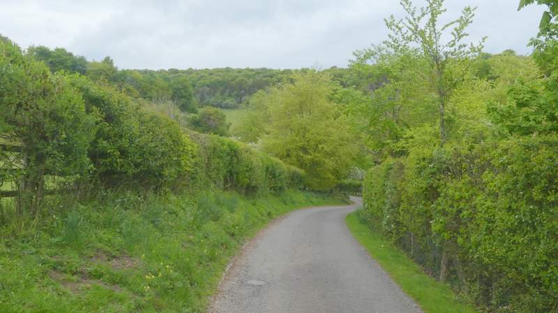
The short path after I crossed the road
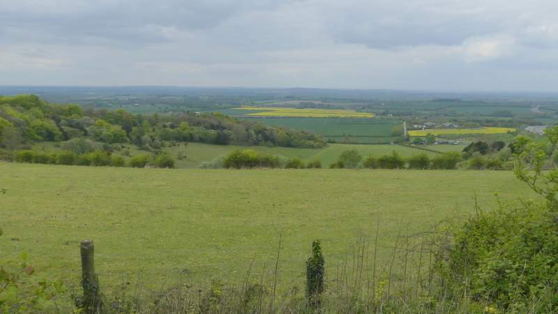
View along the valley between Linky Down and Bald Hill, and out over the Oxfordshire Plain
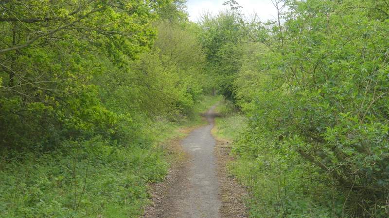
The path through the Aston Rowant nature reserve
View over Linky Down to Beacon Hill
Another view from across the road from Cowleaze Wood, as I retraced my steps from the start of the walk
This was another enjoyable walk, and it was good to try out some new paths and bridleways again. The descent of Hill Road was perfectly pleasant, but I doubt I'll go that way often as the three other routes down the Chiltern escarpment from Cowleaze Wood are all preferable because they have fine views ahead over the Oxfordshire Plain. The section from Lewknor to Crowell, running parallel to the Chilterns escarpment, was again perfectly pleasant, but it was predictably very flat and by the time I got to Crowell I was looking forward to the ups and downs of the Chilterns. But I can definitely see me using the path from High Wood to Crowell Wood again, and the best new path I walked today was the one from Sprig's Alley to Crowell Wood and on to Hallbottom Farm, which I'm sure I'll use as a route to Stokenchurch again (though without the unnecessary detour away from the drive from Hallbottom Farm). I'm glad I've finally got round to walking the drive from Lower Vicar's Farm to Upper Vicar's Farm, but I doubt I'll walk it again (unless I choose to do this walk in the opposite direction sometime).