Pete's Walks - Christmas Common, Ibstone, Cookley Green (page 6 of 7)
If you are considering walking this route yourself, please see my disclaimer. You may also like to see these notes about the maps and GPX files.
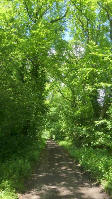
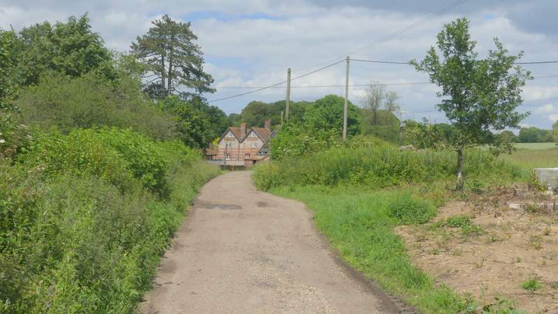
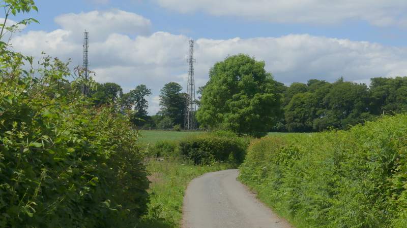
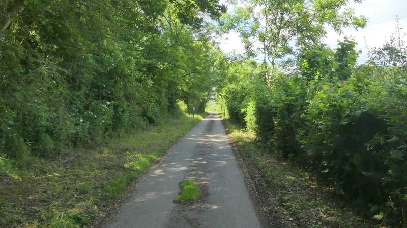
I crossed the road here, and continued along a path along the right edge of the village green. On the far side I turned right and followed Coates Lane. This soon left the village and a bit further on ran just inside the edge of a wood, where I passed a Water Tower on the left. Shortly after leaving the wood I passed Coates Farm on my left, the surface of the lane improving now as it turned left and then right before ending at a T-junction with another lane.
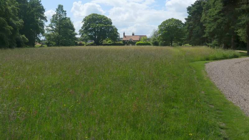
Cookley Green
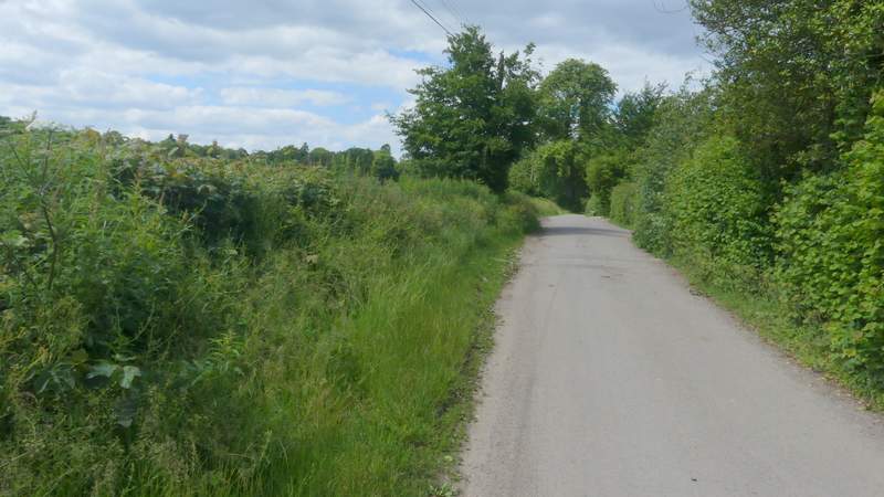
Coates Lane, Cookley Green
Coates Lane
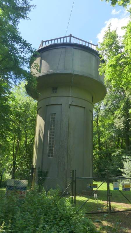
Water tower along Coates Lane
Coates Lane, approaching Coates Farm
Coates Lane
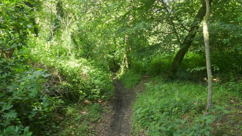
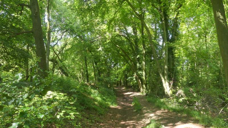
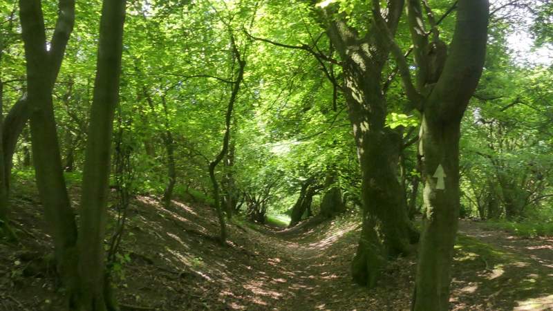
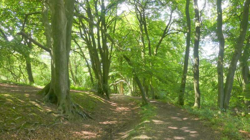
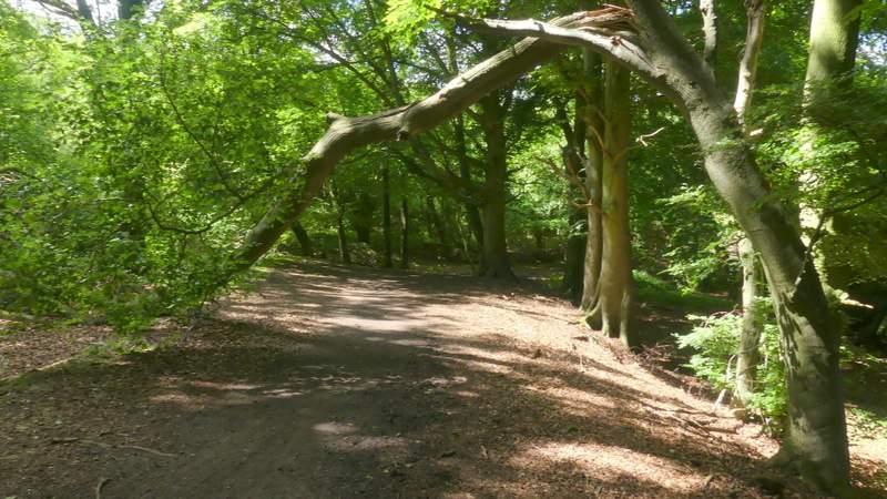
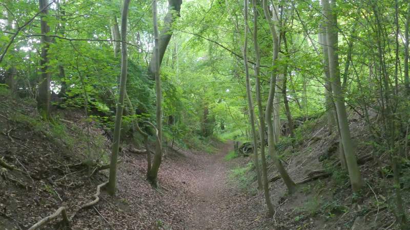
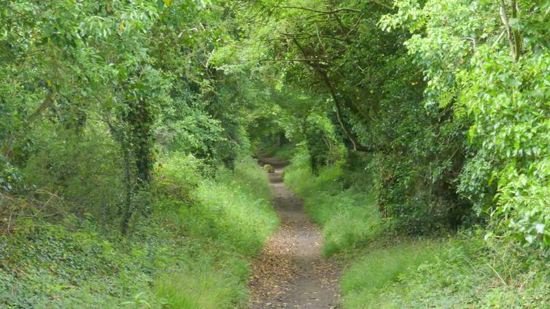
Across the junction, I continued on a bridleway that started down the drive to Wood Farm. After one or two hundred yards it turned right from the drive and started to make its way downhill through a wood. There were a few slight bends or curves, but the bridleway generally headed roughly North-Northeast. Then after about half a mile, after a straight section where the bridleway had left the wood and had tree-covered embankments either side, I reached a path junction (just before the bridleway reaches Dame Alice Farm).
The drive to Wood Farm
The bridleway heading down towards Dame Alice Farm
The bridleway heading down towards Dame Alice Farm/p>
The bridleway heading down towards Dame Alice Farm
The bridleway heading down towards Dame Alice Farm
The bridleway heading down towards Dame Alice Farm
The bridleway heading down towards Dame Alice Farm
The bridleway heading down towards Dame Alice Farm
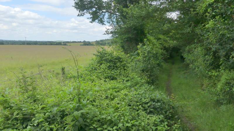
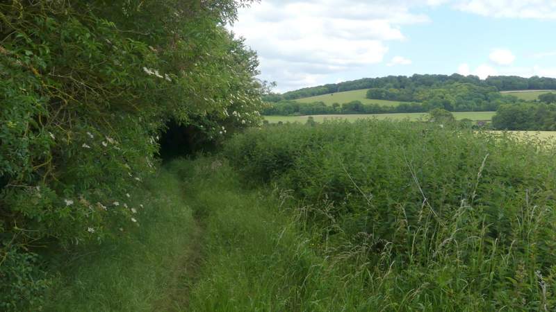
I turned right here, and followed a hedge-lined path for about another half-mile, with occasional views out over the fields either side. I saw a Yellow Shell moth, the fifth place I'd spotted one of them on this walk. The path brought me to Howe Road, close to a property named Dumble Dore on the OS map, where I turned left.
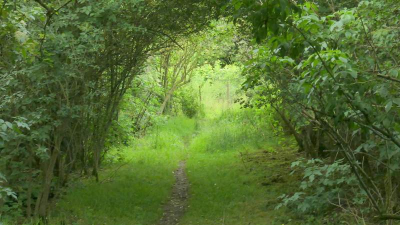
The path to Dumbledore
The path to Dumbledore
The path to Dumbledore
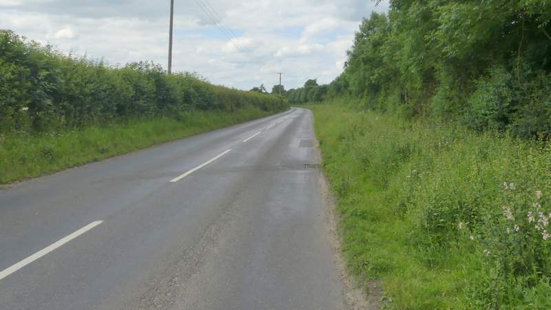
Howe Road, after I turned left at Dumble Dore