Pete's Walks - Maidensgrove Common and Moor Common (page 4 of 6)
If you are considering walking this route yourself, please see my disclaimer. You may also like to see these notes about the maps and GPX files.
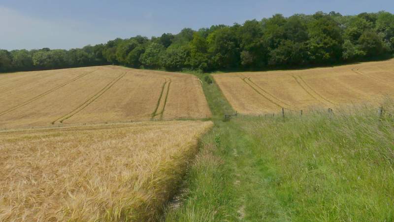
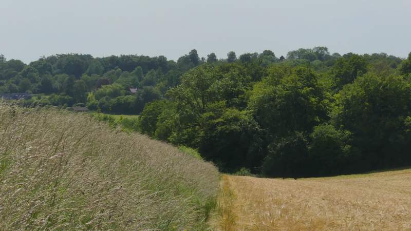
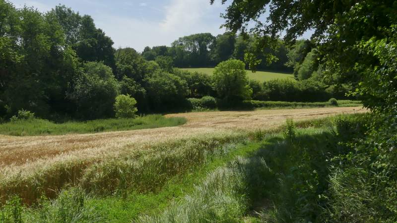
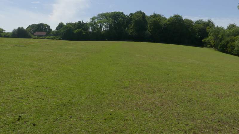
I chose this walk today as I hoped to see some orchids here at Moorend Common. When I did this same walk last year I was a week or two early to see them at their best, today (about four weeks later in the year) I was a little too late to see them at their best as the Southern Marsh Orchids were all at least partly gone over, though the Common Spotted Orchids, one or two Heath Spotted Orchids and the numerous hybrids were still in good shape. After looking at the orchids for 20-25 minutes, I followed the path through the open area of the common and on into the wooded part, where it immediately turned left and crossed a small footbridge over a tiny stream. I followed the path through the woods of Moorend Common for another quarter of a mile or so (stopping at one point to sit and eat my lunch), until I reached a drive (from some buildings to my right) where I turned left and soon reached a road at Moor Common.
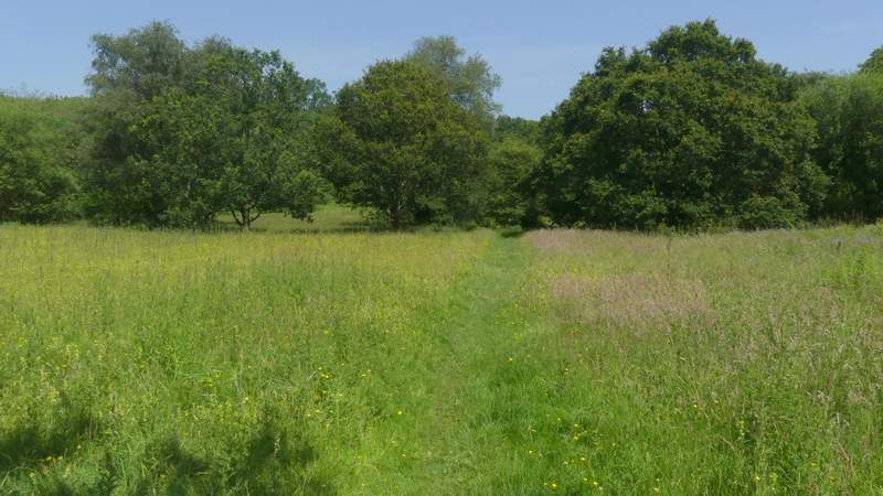
Moorend Common
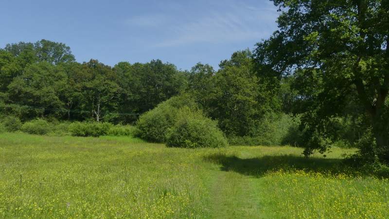
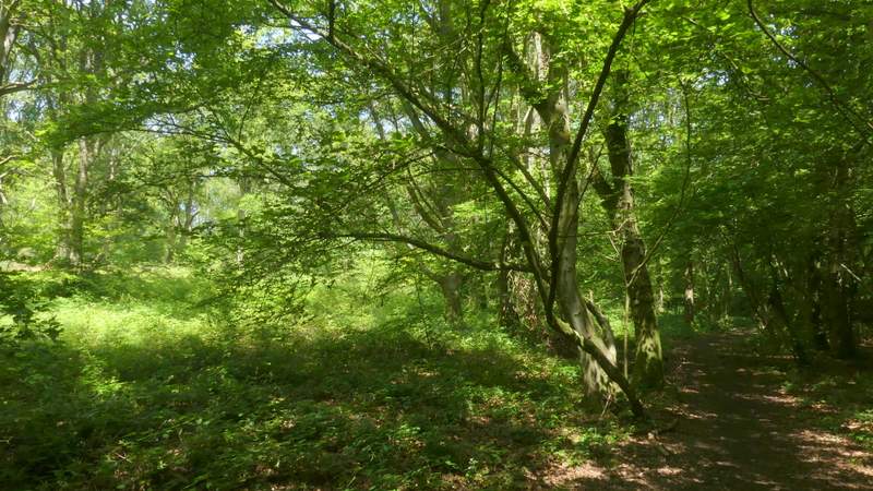
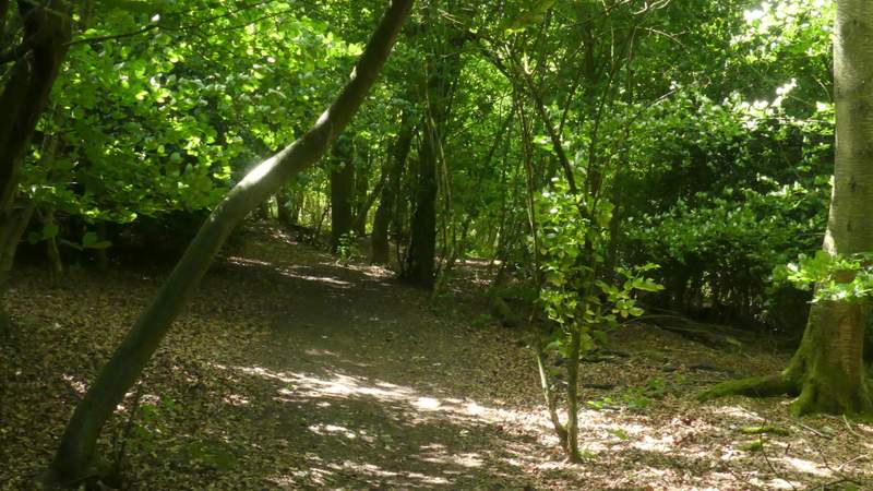
The path through Moorend Common
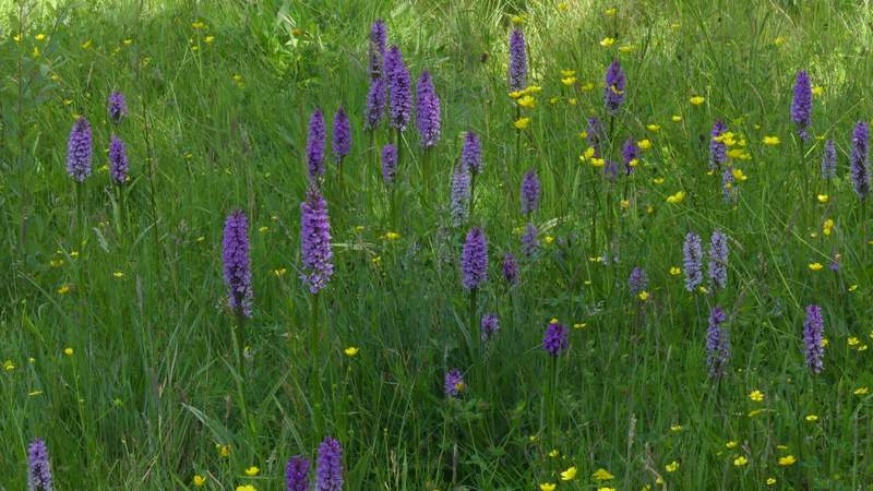
Orchids at Moorend Common
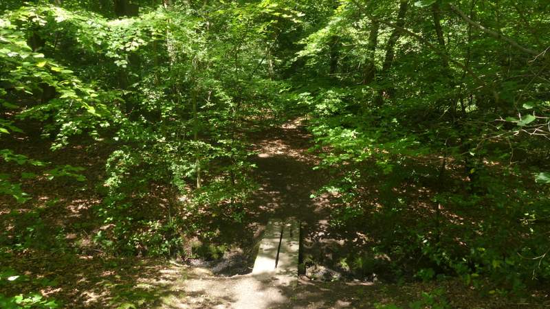
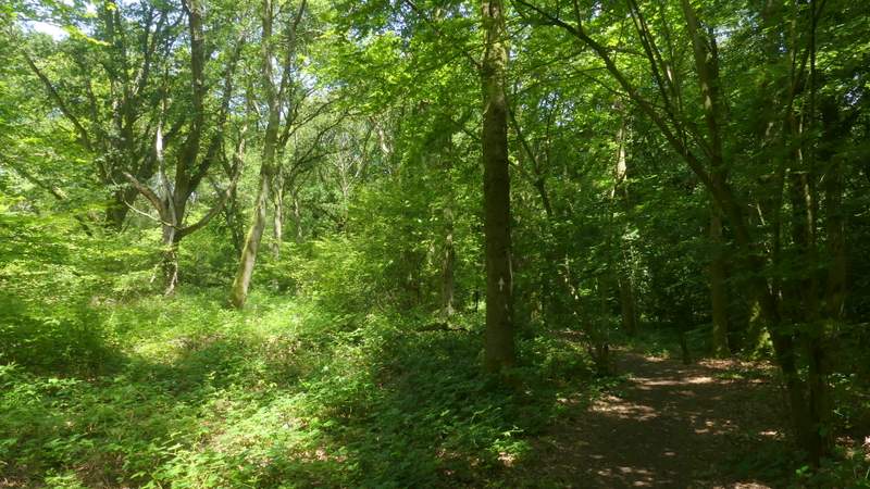
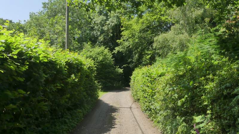
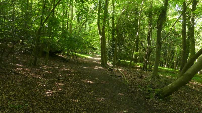
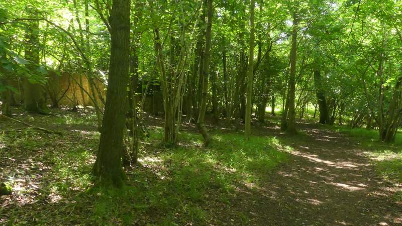
The path through Moorend Common
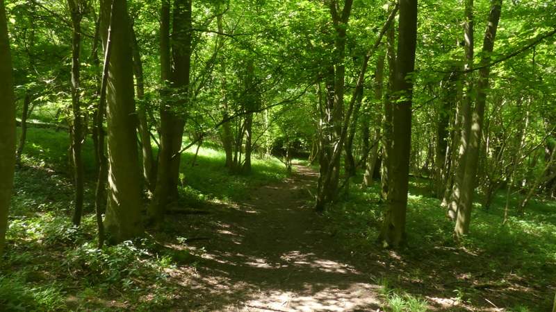
The path through Moorend Common
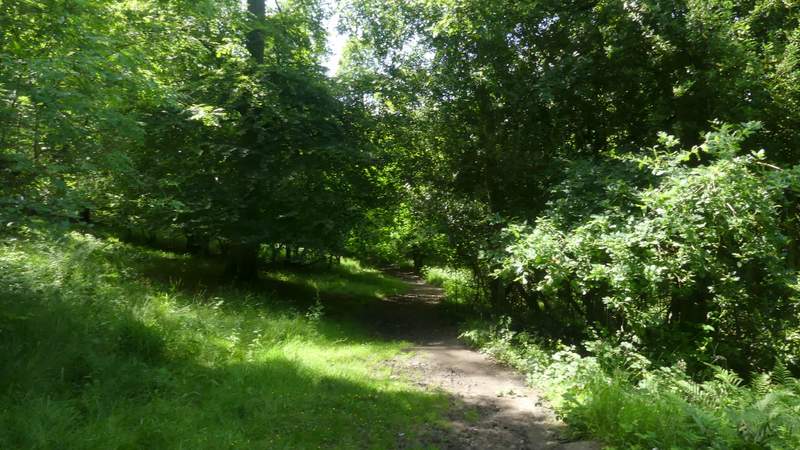
The path through Moorend Common
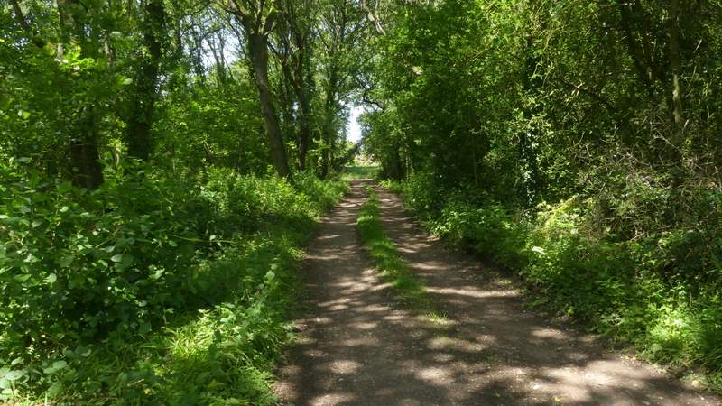
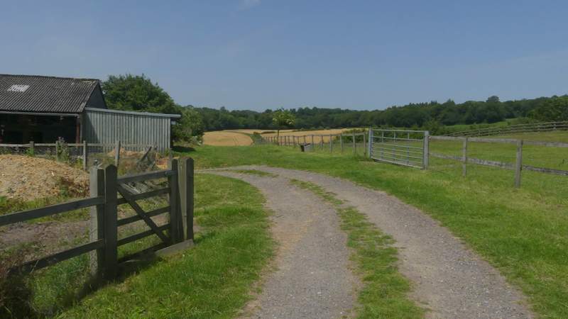
The drive at Moorend Common
I turned right, then took a bridleway on the left after a hundred yards or so. This followed a drive (a path immediately went left), then turned right at a gate, going uphill quite steeply for a short way before curving left and passing some farm buildings on the left. The bridleway then dropped slightly downhill, continuing straight on beside a hedge on my right. I ignored a path going right, but not long after took a path on the left (near the bottom of a small valley). This followed the left edge of a field, then had the edge of a wood on the right. Immediately after the wood turned right, the path crossed the field on my left to reach a minor road.
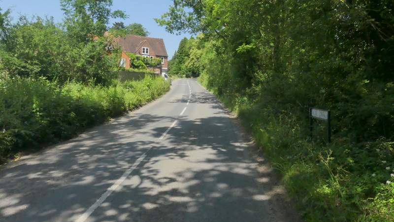
The road at Moor Common
The bridleway from Moor Common
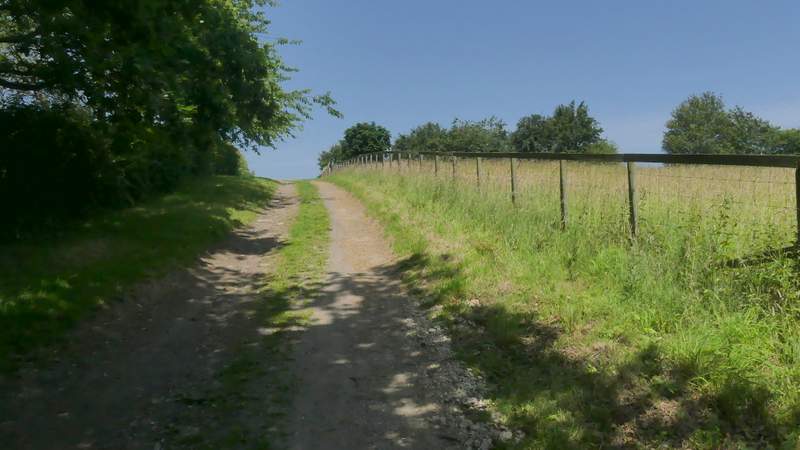
The bridleway from Moor Common
The bridleway from Moor Common
The bridleway from Moor Common
The bridleway from Moor Common (I went over the stile and turned left)
The path after I turned left
The path after I turned left
Across the road a path led uphill through a meadow to reach a path junction, where I turned right. This path then immediately turned left and ran for about half a mile through Mousells Wood. Curiously the OS Map shows that there should be a path on the left, then several hundred yards further on a path on the right, and then a path crossroads - in fact there are just two path crossroads, clearly visible and waymarked. The OS map also shows that at the second crossroads the path actually changes from a footpath to a bridleway.
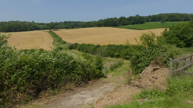
The path to Mousells Wood
The path through Mousells Wood
The path through Mousells Wood
The path through Mousells Wood
The path through Mousells Wood
The path through Mousells Wood