Pete's Walks - Maidensgrove Common and Moor Common (page 6 of 6)
If you are considering walking this route yourself, please see my disclaimer. You may also like to see these notes about the maps and GPX files.
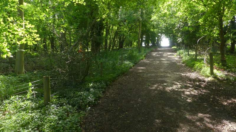
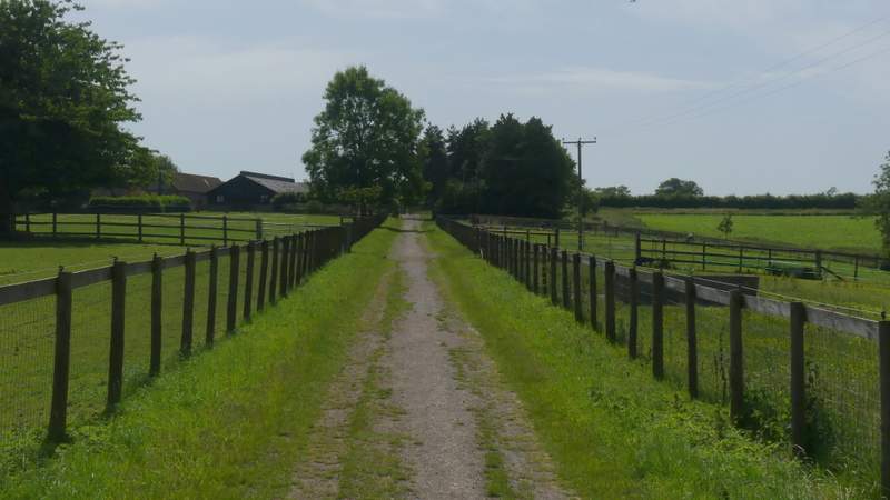
I went more or less straight on from the centre of Turville (other than a diversion to take a photo of the church, over to my right), following School Lane to its end and then continuing straight on along a bridleway - the start of the bridleway is much nicer now that the overhanging hedge on the left has been cut down, giving some nice views. Through a gate, the bridleway then continued for several hundred yards alongside a hedge on my right (Poynatt's Wood where I'd been earlier was over to my left). I then crossed Dolesden Lane, the bridleway continuing on the other side and heading uphill along a track. On entering a small wood the track became a concrete drive, turning slightly right and continuing steeply uphill. Through a gate at the edge of the wood, the bridleway continued between paddock fences, gradually levelling out as it approached Southend Farm. It then carried straight on along the drive from the farm for a quarter of a mile to reach Southend (I kept left at a fork just before reaching the hamlet).
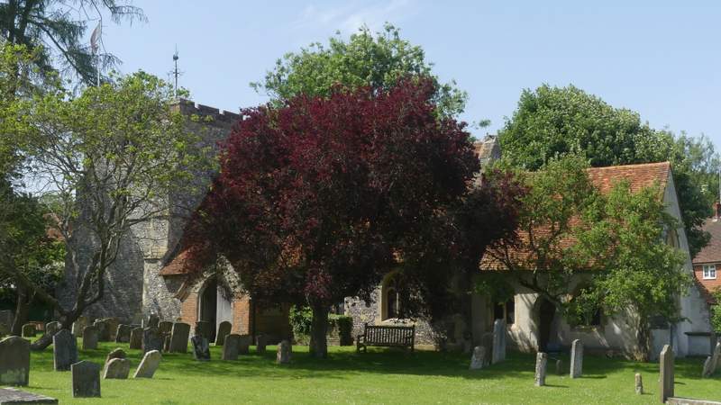
Turville church
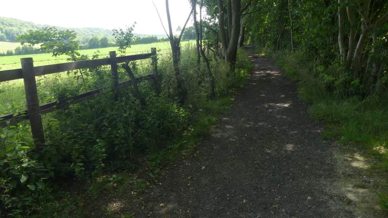
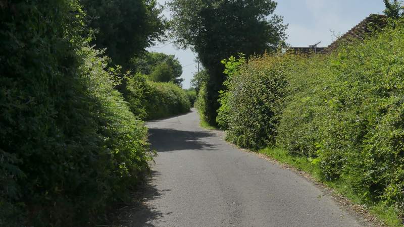
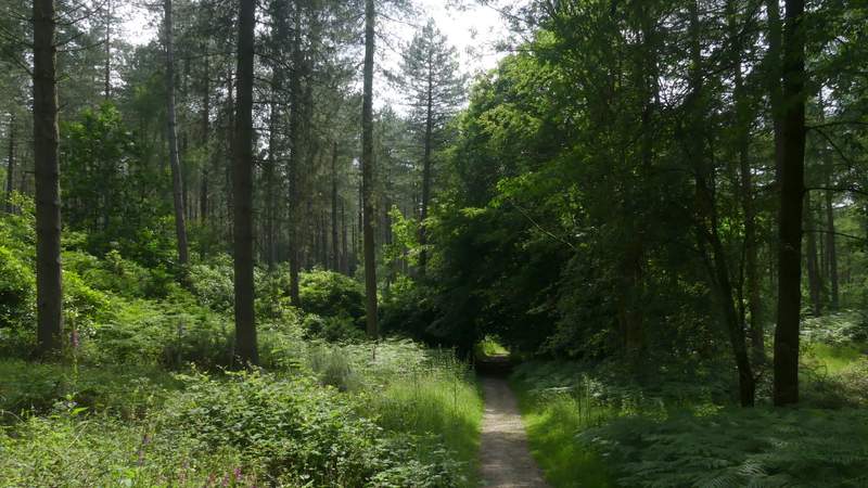
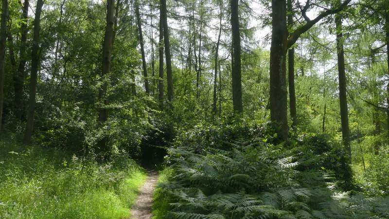
The bridleway from Turville to Southend
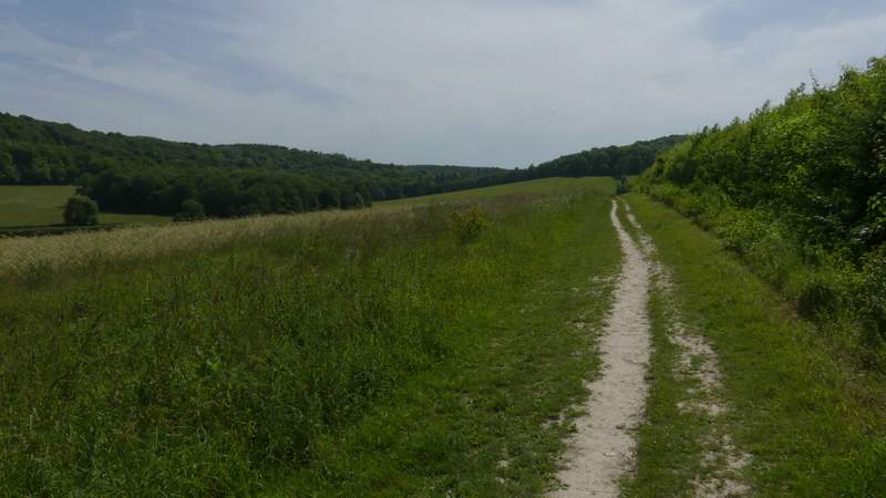
The bridleway from Turville to Southend
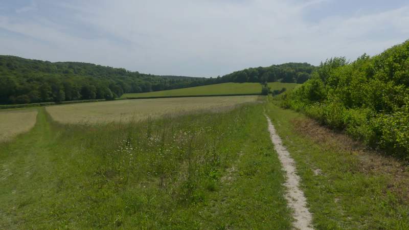
The bridleway from Turville to Southend
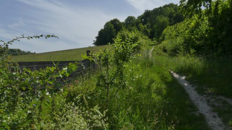
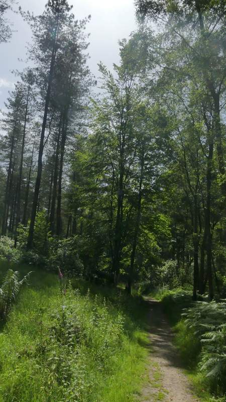
The bridleway from Turville to Southend, after crossing Dolesden Lane
The bridleway from Turville to Southend
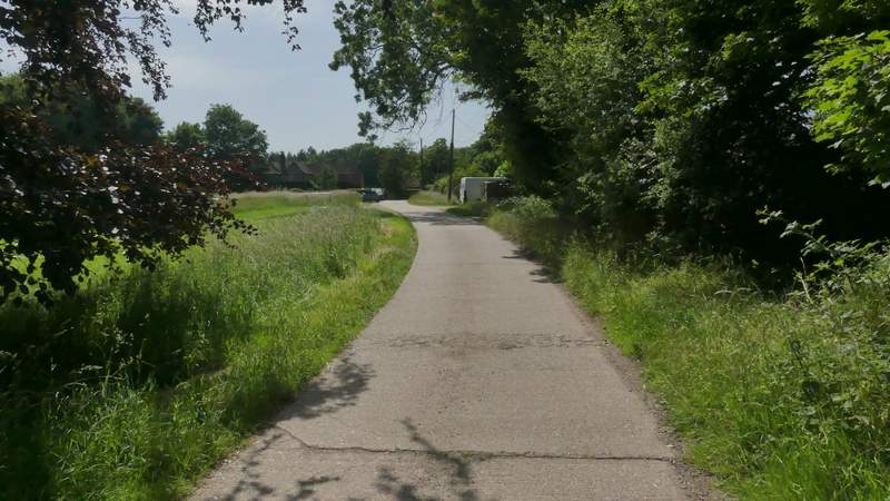
Approaching Southend Farm
The drive from Southend Farm
The drive from Southend Farm
Entering Southend
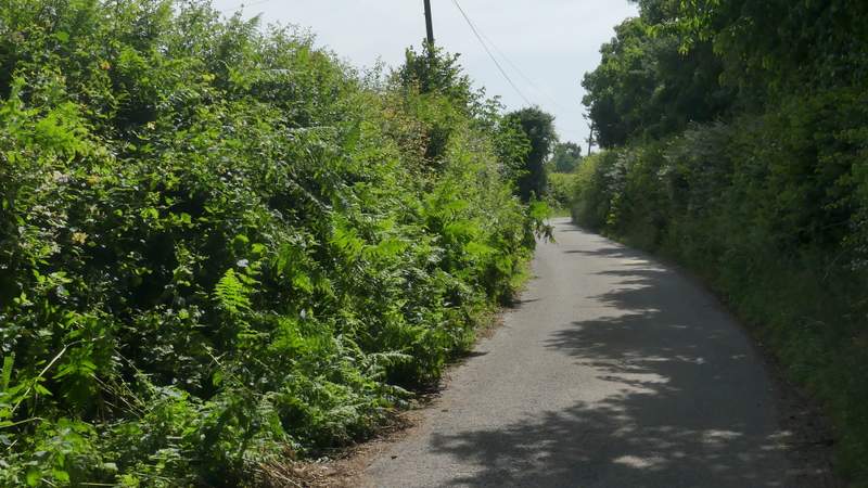
At the end of the drive, I turned left along the lane through Southend, then after about a hundred yards took a footpath on the right. This started with Kildridge wood on my left and some cottages and then a field to my right, before gently descending between Kildridge Wood and Balham's Wood. After a while a white arrow showed where the path forked left from the track it had been following, making its way between Rhododendron bushes to reach the tall kissing-gate giving access to Stonor deer park.
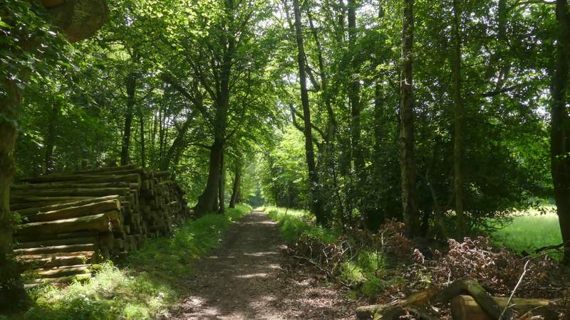
The start of the path to Stonor deer park
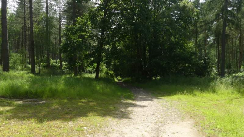
The path to Stonor deer park
The path to Stonor deer park
The path to Stonor deer park
The path to Stonor deer park