Pete's Walks - Shortened version of Kensworth-Totternhoe walk (page 4 of 6)
If you are considering walking this route yourself, please see my disclaimer. You may also like to see these notes about the maps and GPX files.
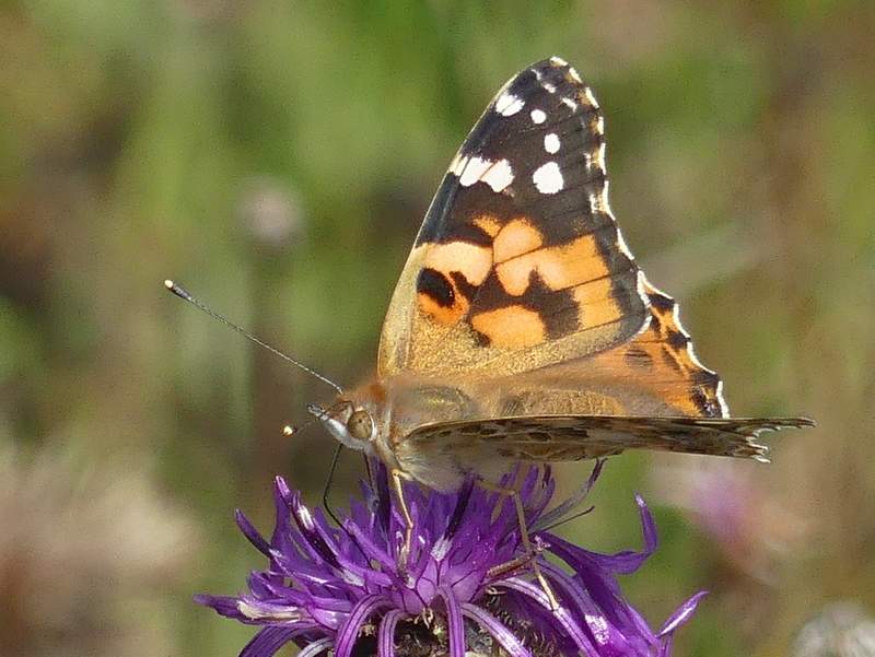
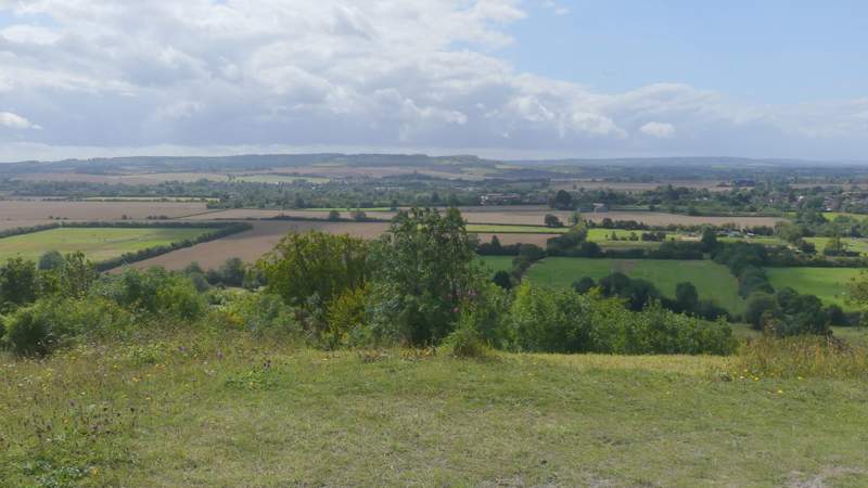
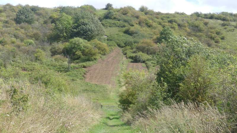
Butterfly hunting over, I made my way up to the highest point of the reserve and went through a metal-kissing gate in front of the 'motte' - as I said before, I could have got here by continuing along the chalky track and going through the next metal kissing-gate on the right, instead of the first as I'd done. I admired the views from the top of the motte, where I spotted another Painted Lady, then continued along a path that descended the other side of the motte. It continued across the two ditches and embankments surrounding the motte, and then on across the large 'bailey. It then continued on through another grassy area.
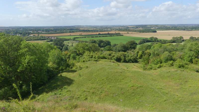
View from the top of Totternhoe Knolls
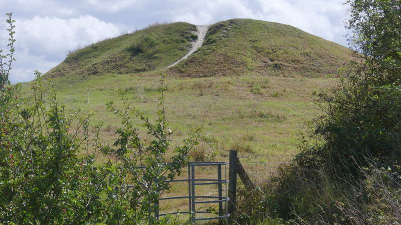
The 'motte' of the 'motte and bailey' castle at Totternhoe Knolls
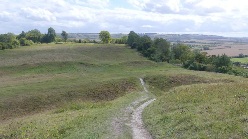
View from the motte - there are two rings of ditches and embankments around it, then the bailey
View from the motte
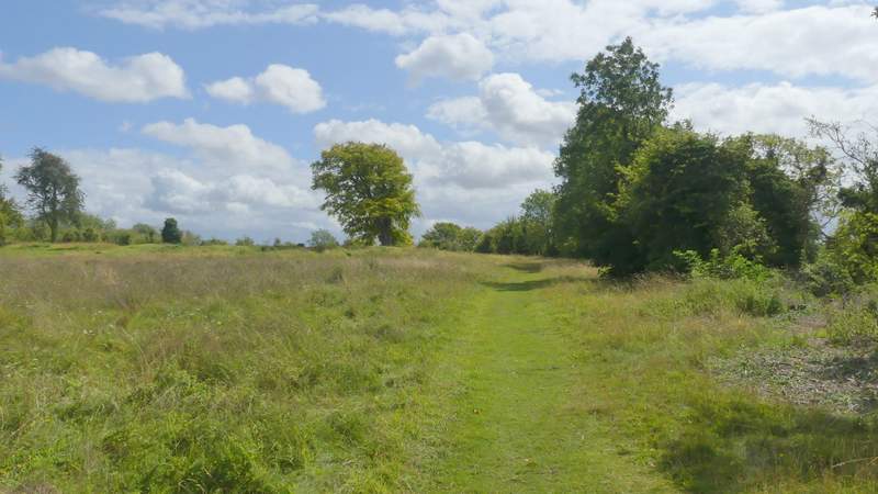
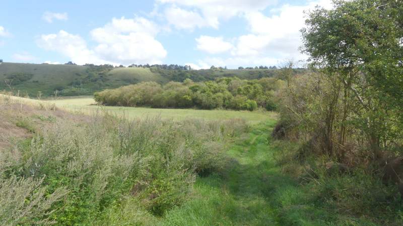
The path through the bailey
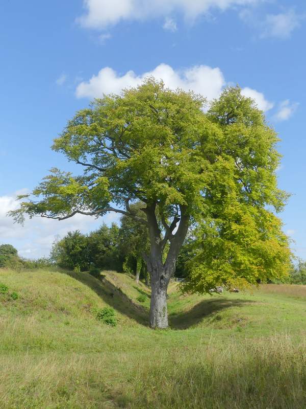
Beech tree growing in the ditch around the bailey
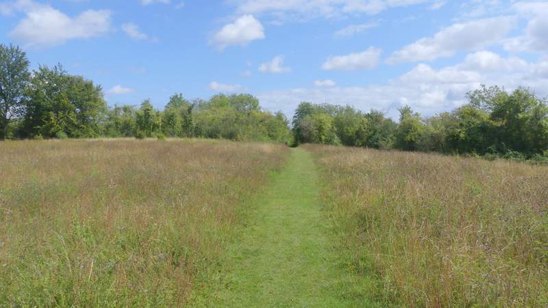
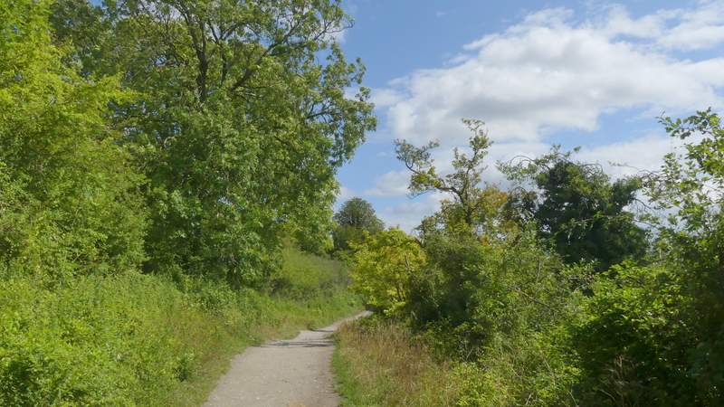
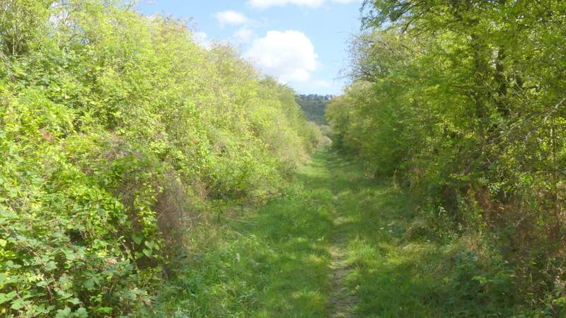
The path continuing from the bailey towards Totternhoe
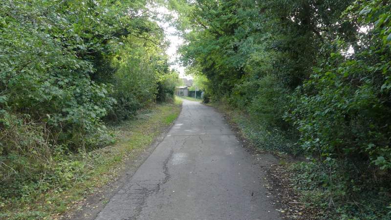
Through another gate I came to a path junction, where I went straight on down a roughly surfaced track - I soon spotted a Southern Hawker dragonfly along here. After a while I stopped on a bench on the left to eat my lunch. Continuing on I soon came to a fork, where I took the right fork (more or less straight on) to reach the entrance to the Totternhoe Knolls car park, I carried on down its drive to reach the main road through Totternhoe.
The path continuing into Totternhoe
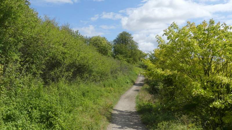
The path continuing into Totternhoe
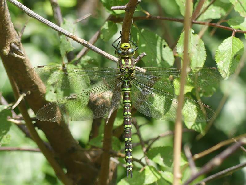
Southern Hawker dragonfly
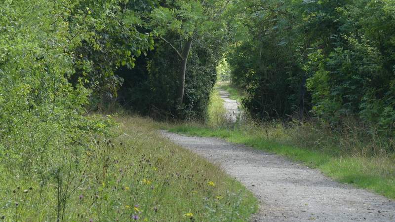
Where I forked right, to reach the entrance to the Totternhoe Knolls car park
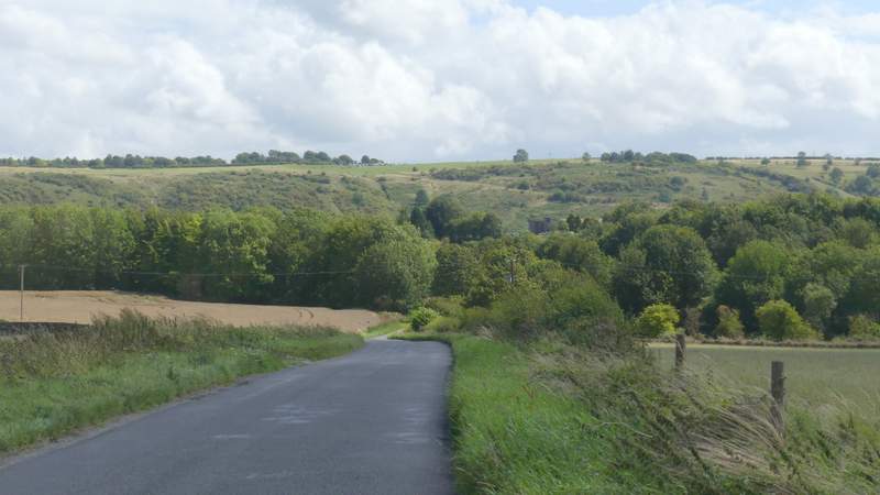
The short drive between the car park and Totternhoe
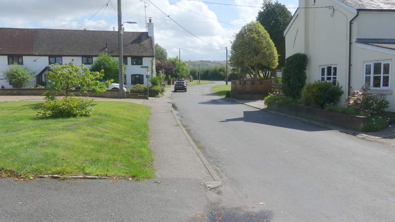
I turned left along the road, then just after it turned right I turned right at a road junction. I then took the second road on the left, Wellhead Road. This soon left the village and continued towards the line of Dunstable Downs ahead of me. When it ended at a T-junction, near the hamlet of Wellhead, I crossed over and continued along a path close to the London Gliding Club on my right - at one point there were some people practicing archery in a small field here.
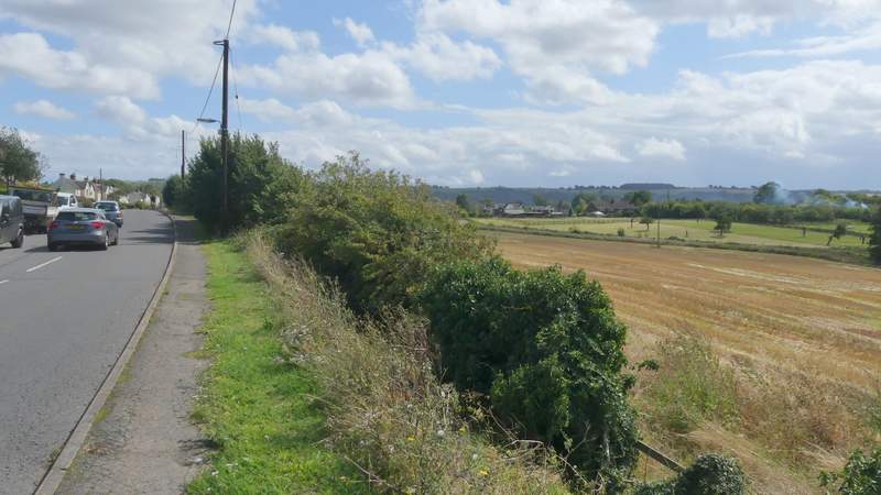
The road through Totternhoe
Wellhead Road, leading out of Totternhoe
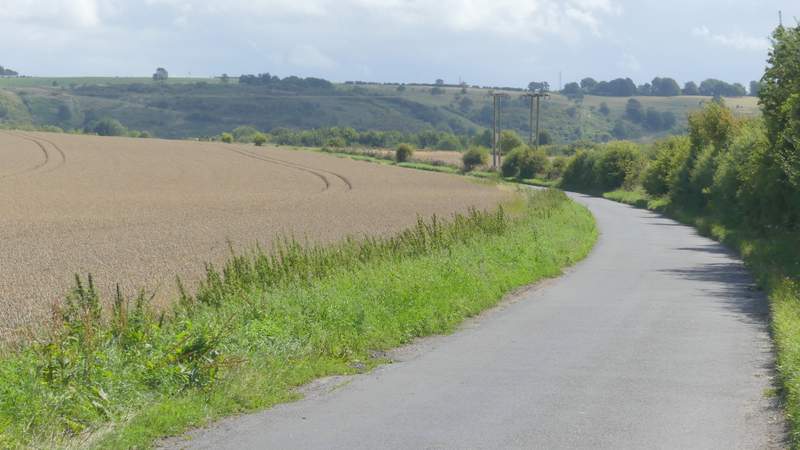
Wellhead Road
Wellhead Road
The path past the Gliding Club (on my right)
The path past the Gliding Club
The path past the Gliding Club (I turned right after the metal gate)